
Bowness to Cockshott Point

Circular route for all, 2km distance
Explore Bowness-on-Windermere on this route for all, starting from the Lake District National Park Information Centre.
Our Miles Without Stiles routes are graded. What is a route ‘for all’? Please note that mobility scooters must be class 2 or 3 on the route.
MWS Grade
For all
Duration
1 hour
Distance
1.83km / 1.13miles
Bowness to Cockshott Point route map
Download the route PDF
Route
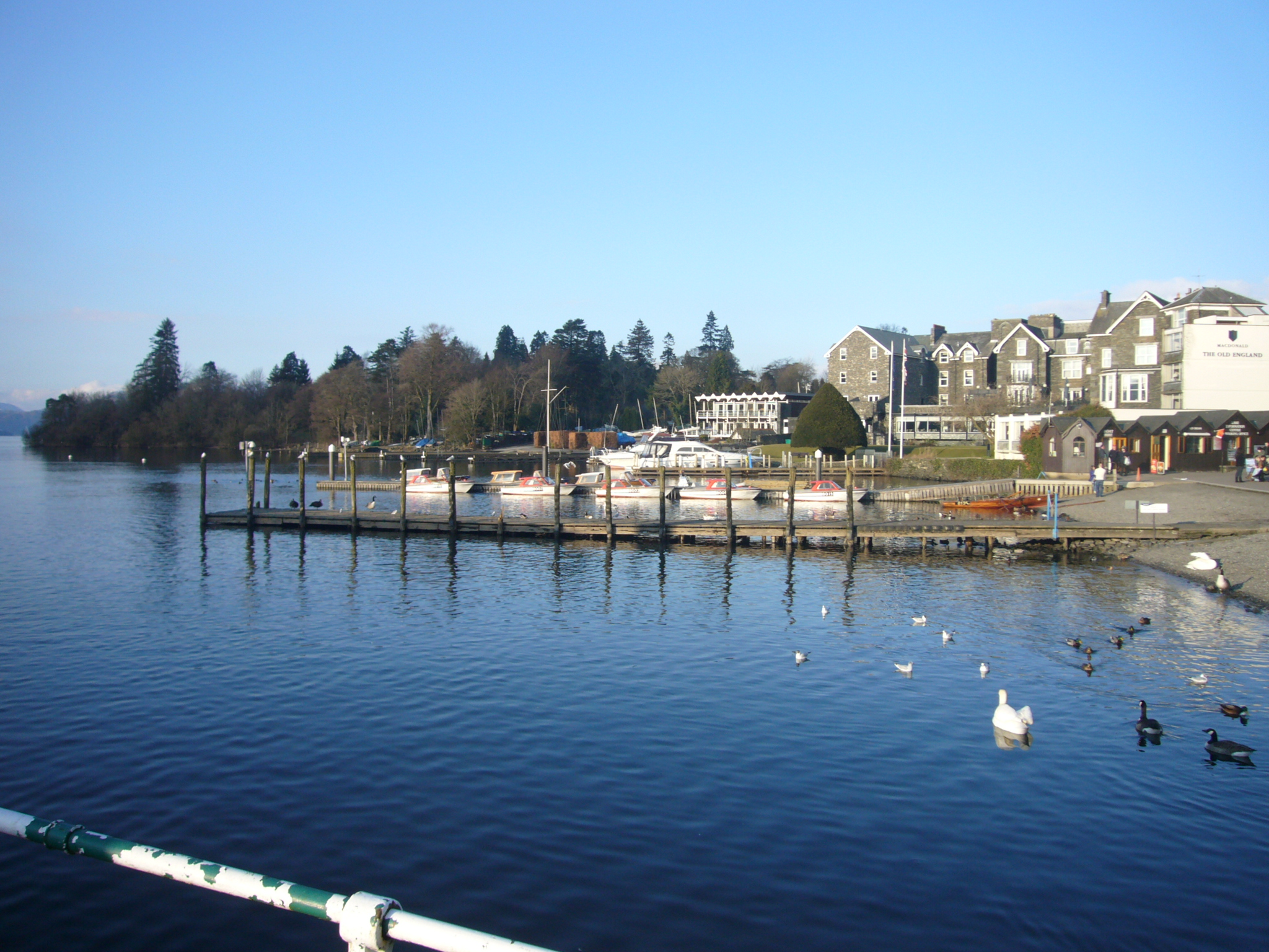
The start point of the route is at the Information Centre where Glebe Road meets the main road, the A592. Parking is available at the side of Glebe Road, or in one of the car parks next to the road. Join the route by following Glebe Road and keeping the lake on your right-hand side. When Glebe Road bears left, away from the lake, next to an information board, leave the road and carry straight on joining a well surfaced path.
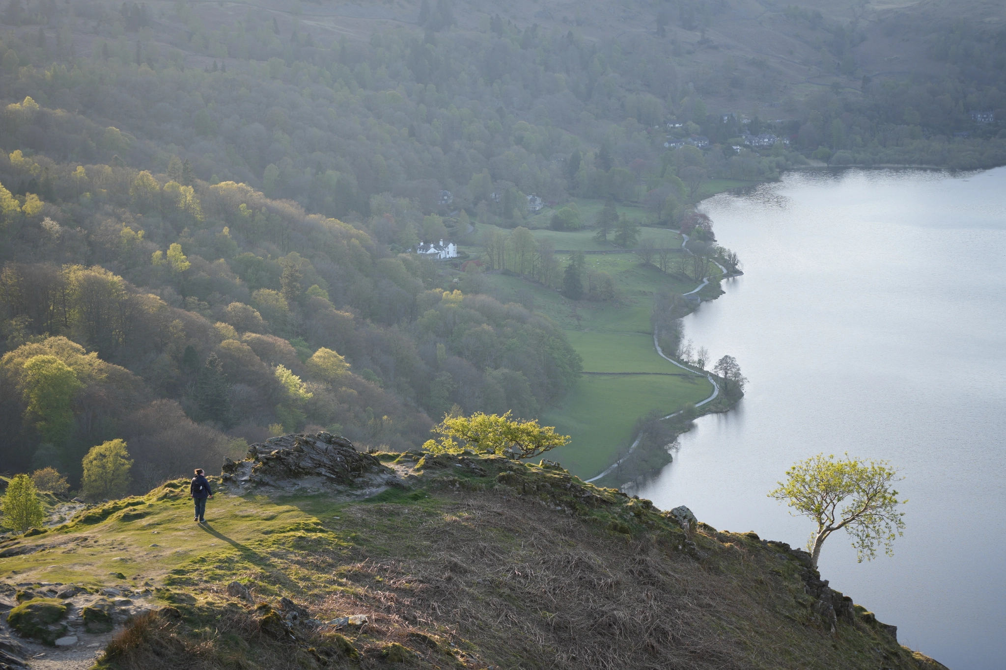
Cockshott Point is a short distance to the right, but is not easily reached by wheelchair users because it crosses a grassy field. Wheelchair users should stay on the surfaced path which emerges from the trees and leads into an open meadow, with lovely lake views. There are benches here, where you can look across to Belle Isle and watch the boats and car ferry.
Continuing south brings you out to Ferry Nab and a hive of boat activity. Head back north (short section here is fairly steep uphill) and continue along the smooth path to Glebe Road. Cross this and head into Rectory Road. This is closed to through traffic and will bring you back past the churchyard to the Information Centre in Bowness.
Details
Start point
Postcode: LA23 3HE
Grid reference: SD 398959
W3W: ///starfish.contacts.ranking
Facilities
Toilets, cafés and hotels in Bowness. Also toilets at Ferry Nab (closed in winter).
Getting there
Bus: regular service from Windermere to Bowness, linking with Windermere railway station. Car: A592 or A5074 to Bowness