


Kentmere
![]()
A linear walk into one of eastern Lakeland’s most beautiful valleys.
OS Explorer Map OL7.
Route for some. 4km distance.
MWS Grade
For some
Duration
2 hours
Distance
4.65km / 2.89miles
Route
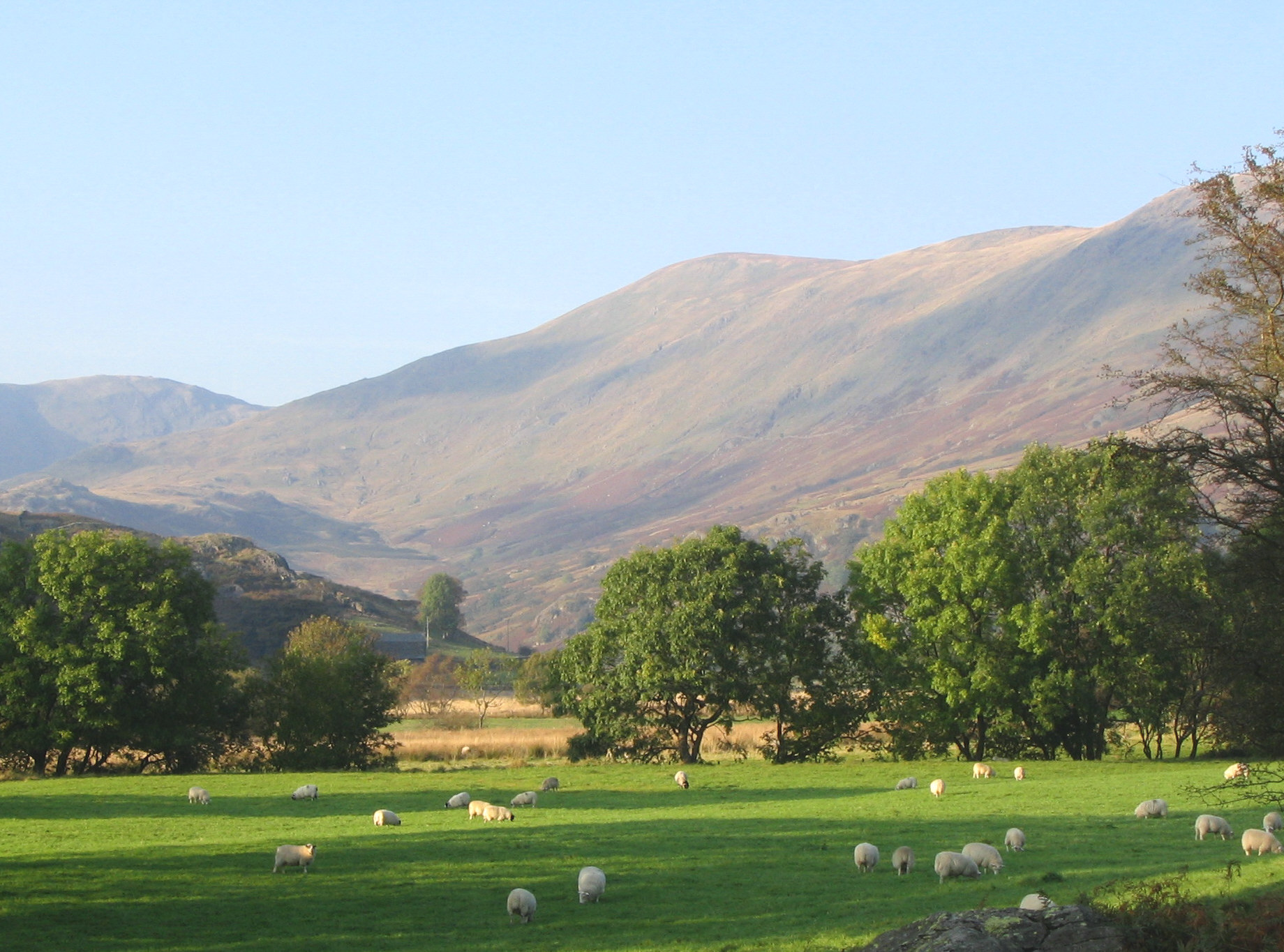
This linear route (4 km as a round trip to Hartrigg and back) starts at the small parking area next to Kentmere Village Hall, opposite St Cuthbert’s Church in Kentmere. It is ‘for some’ standard due to long slopes of 1:7 gradient. ‘For many’ users may be able to negotiate this route because it has a good, smooth, tarmac surface. However, make sure your batteries have plenty of charge! Also please be aware that there is no mobile phone reception in this area, so you will need to download this route information before you arrive.
Go past the village hall and continue uphill on the tarmac road. Ignore the first path off to the right signposted Kentmere Reservoir and continue on the tarmac road until it bends round to the left and take the tarmac driveway to Hartrigg Farm, which leaves through a wide gate on the right. After a fairly steep climb on the first section of tarmac driveway, the road levels out and the Upper Kentmere Valley opens up with some dramatic, craggy slopes on your left. Look out for buzzards, ravens and peregrine falcons along this stretch. As you round the corner to Scales Farmhouse, the high peaks of Kentmere Horseshoe come into view.
The ‘for some’ route ends at the end of the tarmac road at Hartrigg Farm. The rough stone track beyond does not meet our accessible standards.
Please note that mobility scooters must be class 2 or 3 on the route.
Download the route map for Miles Without Stiles Miles Without Stiles 3: Kentmere
Details
Start point:
Postcode: LA8 9JL
Grid reference: NY 4559 0412
W3W: ///learn.torches.encodes
End pint:
Postcode: LA8 9JN
Grid reference: NY 4567 0594
W3W: ///moisture.flexed.community
Facilities:
None on route. Toilets and refreshments at Staveley, 6 km to the south.
Getting there:
No direct public transport. Car: follow signs for Kentmere out of Staveley. Limited parking by church and Kentmere Institute. The road from the church is steep, so you could drive to the gateway of Hartrigg and drop people off. No parking is allowed here. Go through the gate and follow the tarmac road uphill. The route levels off after 200m.

