


Wray Castle to Low Loanthwaite
![]()
Undulating linear walk (3.5km each way) leading from Wray Castle through meadows and woodland to Low Loanthwaite. Large sections of the route would be suitable for wheelchair users but there are some steep hills and one section of track where the path has a grass strip in the middle.
OS Explorer Map OL7.
Route for some. 7km distance.
MWS Grade
For some
Duration
1.5 hours
Distance
3.69km / 2.29miles
Route
Starting at Wray Castle overlooking Windermere or at Loanthwaite near the village of Hawkshead, this route takes you through a picture postcard Lakeland valley. From Wray Castle, you’ll pass Blelham Tarn where you’ll see plenty of wildlife or at the Hawkshead end you’ll see traditional Lakeland livestock as you pass through stone built farms. Remember to take a moment to look up, so you don’t miss the peaks of the Coniston, Langdale and Helvellyn ranges.
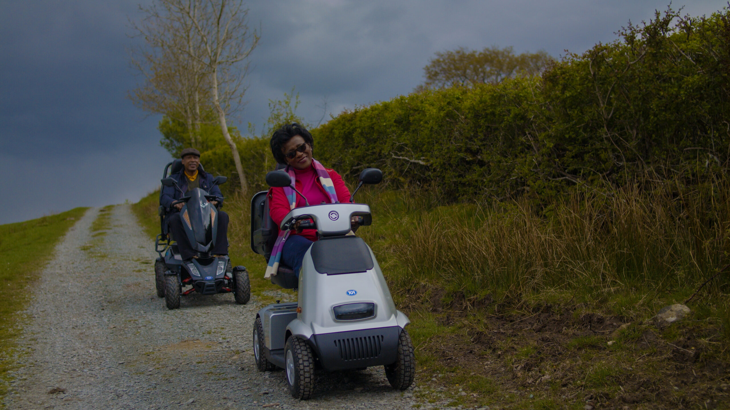
Please note that mobility scooters must be class 2 or 3 on the route.

This route is split in two by a very steep slope (1:4 gradient) with steps in the middle, just south of Blelham Tarn. So, many users will need to either do the northern half from Wray Castle to the lovely Blelham Tarn, or the southern half, from Loanthwaite Lane, near Hawkshead to the traditional barns at the top of the steep slope, where there are wonderful open views across to Fairfield and Helvellyn. You could combine this route with number 48, from the village of Hawkshead.
For the northern half: From Wray Castle, head down the driveway away from the castle and take the path to the right just after the Dower House B&B sign. Follow this path downhill to reach a fantastic set of historic farm buildings on your right. Turn left and follow the Low Wray campsite road to its junction with the B5285. Cross the road and go through the gate onto the off-road path. After 200 metres turn left and follow the path across a meadow. This 300 metres section of path has a good stone surface but does have a grassy strip down the middle so may be a bit of a struggle for those in wheelchairs or with small-wheeled buggies.
Go through a gate into some lovely woodland, from where you can catch glimpses of the local highpoint of Latterbarrow to the south. Keep going and cross over a bridge over Blelham Beck. At a junction, ignore the rocky bridleway known as Spika Lane (signposted to Outgate) and keep left. After another 50 metres you reach a grassy knoll which is a great spot to admire the view over Blelham Tarn. The tarn and the surrounding bog is a National Nature Reserve, and are very important for a number of rare invertebrates, including a rich population of rare caddis-flies. The tarn attracts waterfowl, and great crested grebe breeds, whilst whooper swan and golden-eye can often be seen during the winter.
After another 200 metres you’ll reach a steep hill at Grid Reference SD 362999, where many will need to turn around and return to Wray Castle. Proceeding beyond this point is not recommended for most on wheeled mobility equipment, because of the steepness of the hill and steps over drainage channels.
If you are able to manage the 250 metres up the very steep hill, you’ll be rewarded with fine views of the fells beyond Ambleside. From here, turn right and keep following the main path. At a junction, our route turns left BUT THE BRIDGE HERE HAS BEEN REMOVED SO IS NOT UP TO MWS STANDARDS CURRENTLY and across the meadow to reach a small patch of woodland. Passing through this, you emerge back out onto meadow again until you reach the minor road at Low Loanthwaite from where there are fine views over Hawkshead below. From here you can turn and re-trace the route back to Wray Castle, or proceed right down Loanthwaite Lane for 200m (watching out for traffic on this narrow lane) and then turn left on to route 48 to Hawkshead Village.
For the southern half of this route (currently unuseable), you will need to reverse the directions above and turn around and return when you reach the small traditional barns at the top of the steep slope.
Download the route map for Miles Without Stiles 47: Wray Castle to Loanthwaite
Details
Start point:
Top of Dower House lane, on the driveway up to Wray Castle.
Postcode: LA22 0JA
Grid reference: NY 373009
W3W: ///chilling.snowmen.abundance
Turning point:
Grid reference: SD 354991
W3W: ///refills.march.foods
Facilities:
Wray castle (seasonal: check opening times on National Trust website) Café, shop and toilet accessible by wheelchair users and with baby changing facilities.
Getting there:
National Trust car-park at Wray Castle (Sat Nav postcode: LA22 0JA). Follow signs for Wray Castle from Ambleside or Hawkshead

