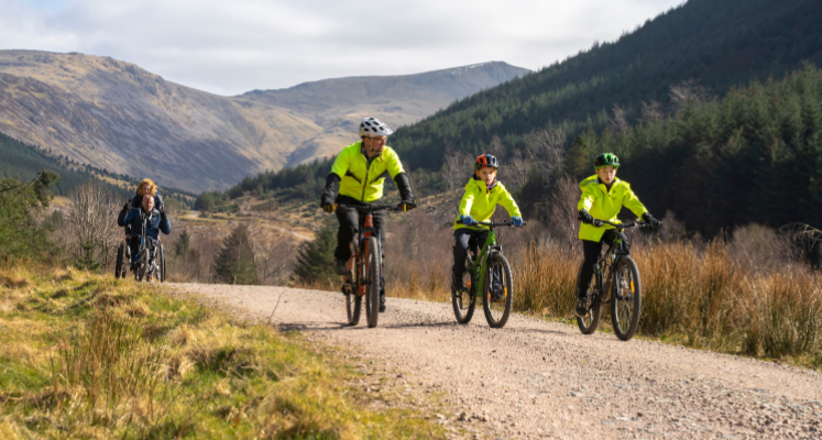
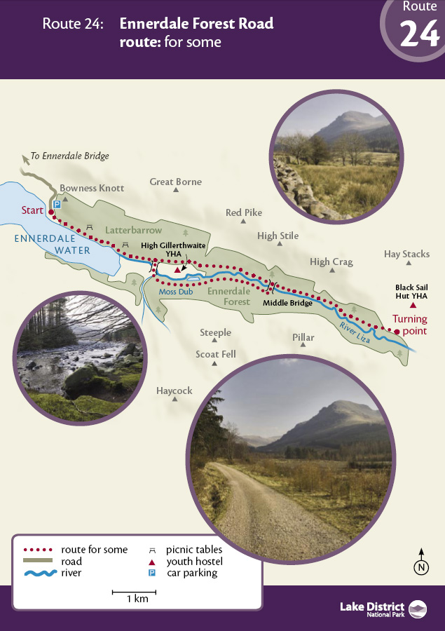
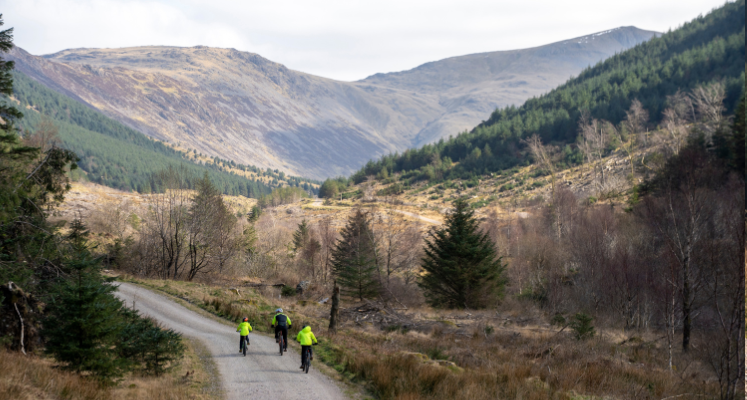
A forest road in Ennerdale, the wildest and least inhabited valley in the Lake District - OS Explorer Map OL4. There are a few sections steeper than 1:8.
Leave Bowness Knott car park (now pay and display) and follow the wide path, downhill, towards the lake and up the valley. You are close to the shoreline of Ennerdale Water for the first 2 km. Ennerdale is the most remote and westerly of the lakes, offering a great escape, even in the middle of summer. It is a deep glacial lake, 4 km long, 1 km wide and 50 metres deep.
The water is exceptionally clear and used to provide water for West Cumbrian coastal towns. It is the only lake that doesn't have a public road running alongside it.
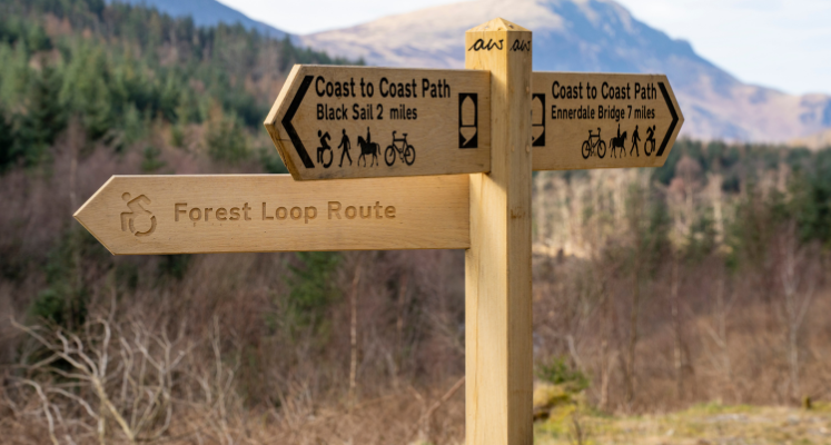
How far you want to walk is up to you. All the way to the turning point is a long but memorable experience. You will pass some of the most magnificent mountain scenery the Lake District has to offer, with the huge crag of Pillar Rock dominating the middle and end of the valley. Black Sail, a former shepherd's bothy, now England's most remote youth hostel, is a further 500m beyond the turn point on an extremely rough path which includes a small ford.
A slightly shorter option would be to Middle Bridge (grid reference NY 165 135), returning via Moss Dub, along the south side of the valley, a round trip of approximately 12 km. This route involves a box kissing gate at NY 134 138 and the adjacent field gate and cattle grid would be problematic for most mobility scooters, wheelchairs and pushchairs. Those with large wheels may manage a very rough bounce over the cattle grid.
You will notice Galloway cattle and conifer plantations being felled. This is just one part of an ambitious project to return Ennerdale to its former wild and rugged splendor. Check out the Wild Ennerdale website www.wildennerdale.co.uk
Please note that mobility scooters must be class 2 or 3 on the route.
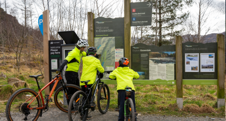
Bowness Knott car park.(pay and display)
Postcode: CA23 3AU
Grid reference: NY 109154
W3W: ///severe.otherwise.incorrect
Grid reference: The last part of the path to Black Sail Hostel has deteriorated considerably and it is recommended that the turning point should now be at the gate at: Grid Reference NY 119125
W3W: ///unrated.resist.ramble
5 km back down the road, the village of Ennerdale Bridge has two pubs and The Gather Ennerdale community centre with toilets and a café.
No direct public transport. Car: A5086 from Cockermouth, left (grid ref. NY 073195) to Ennerdale Bridge. Follow signs to Ennerdale Water. From the south A595 and A5086 to right turn for Ennerdale Bridge (grid ref. NY 028146)