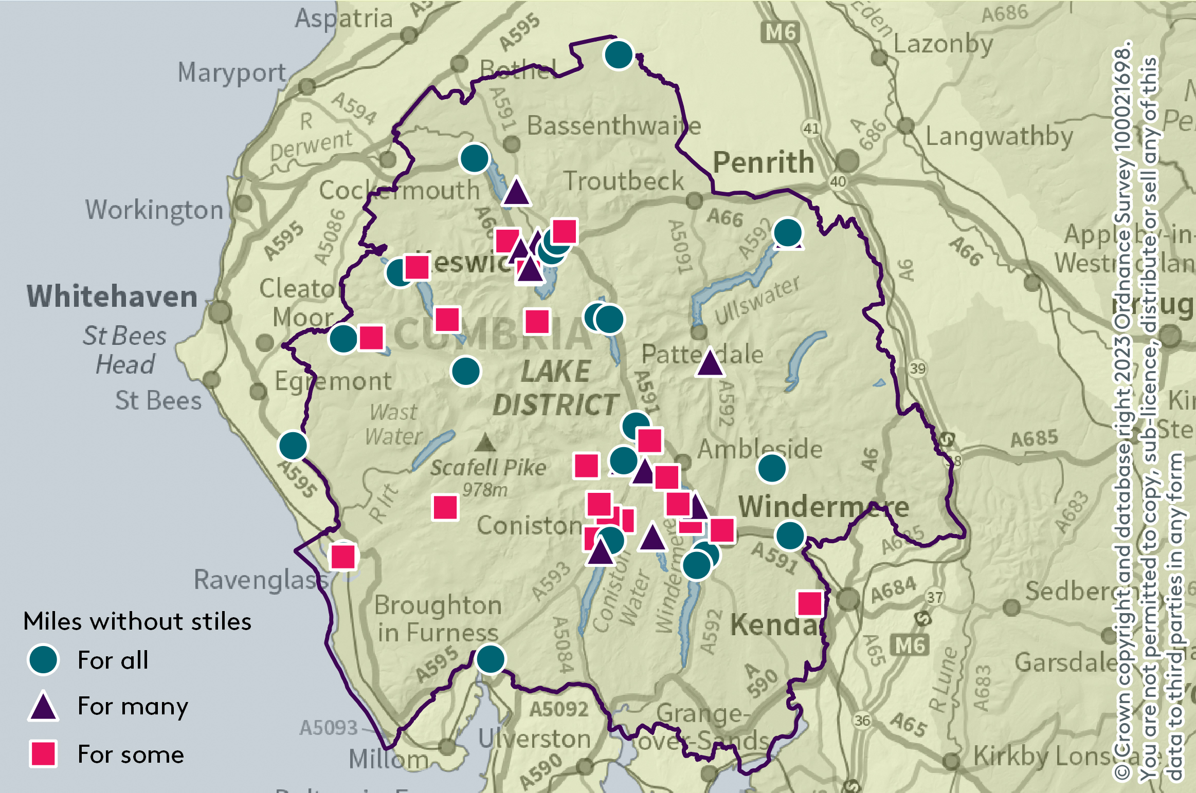
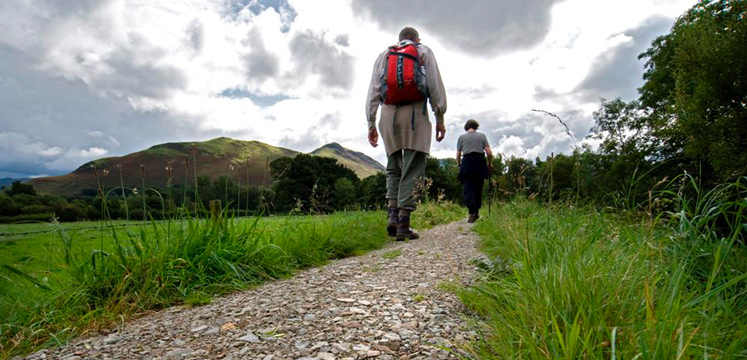
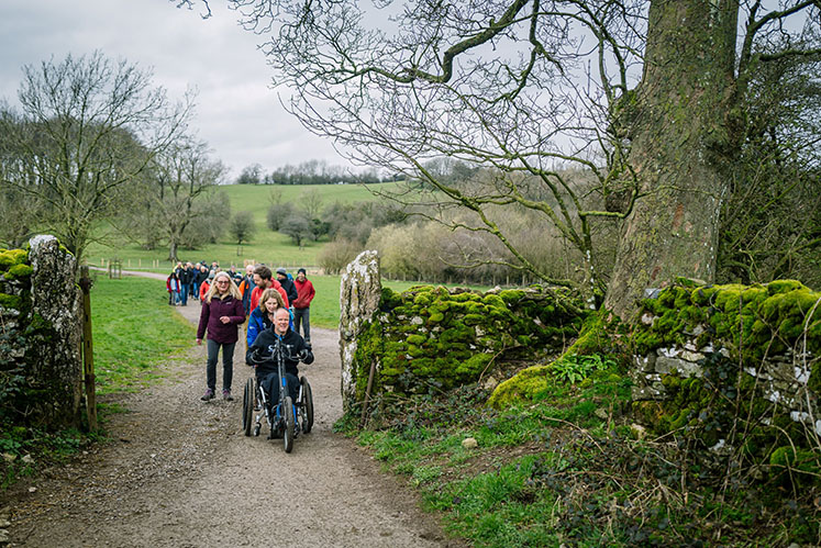
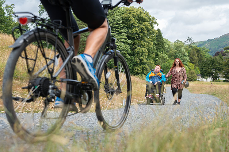
Miles without Stiles are walking routes for everyone. They take you along lake shores and riversides, to tarns and through woods, historic remains, and fell summits with amazing views.
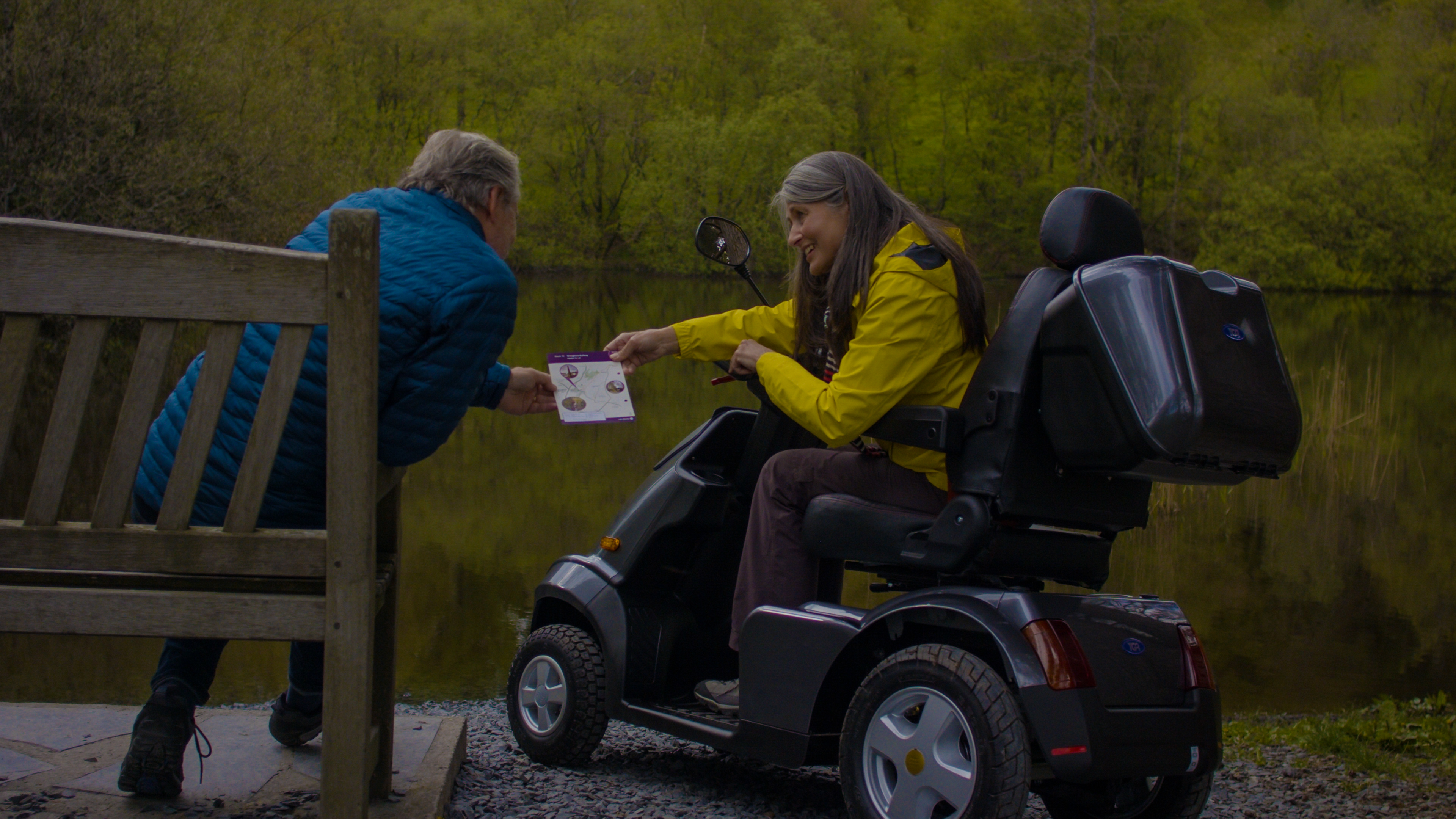
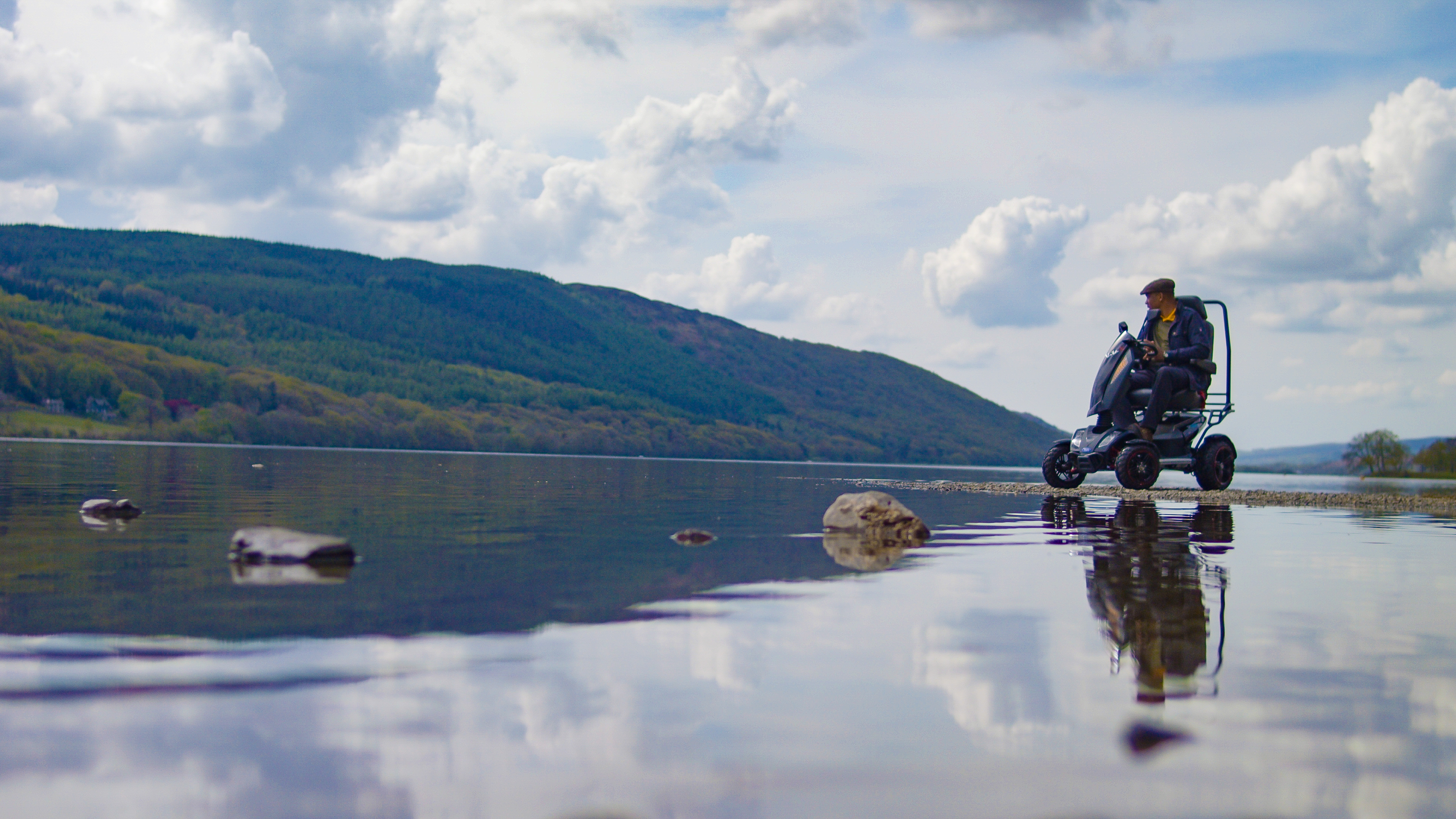
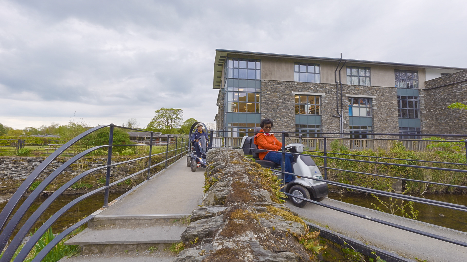
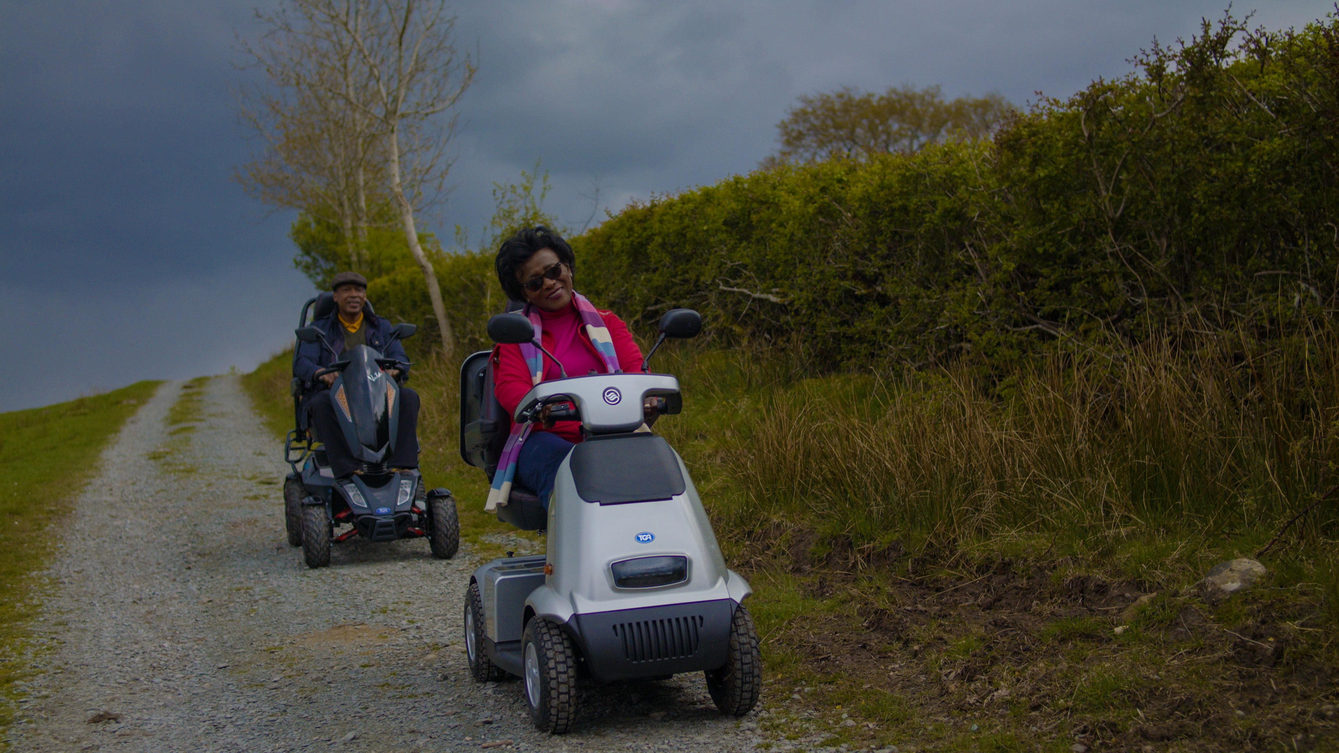
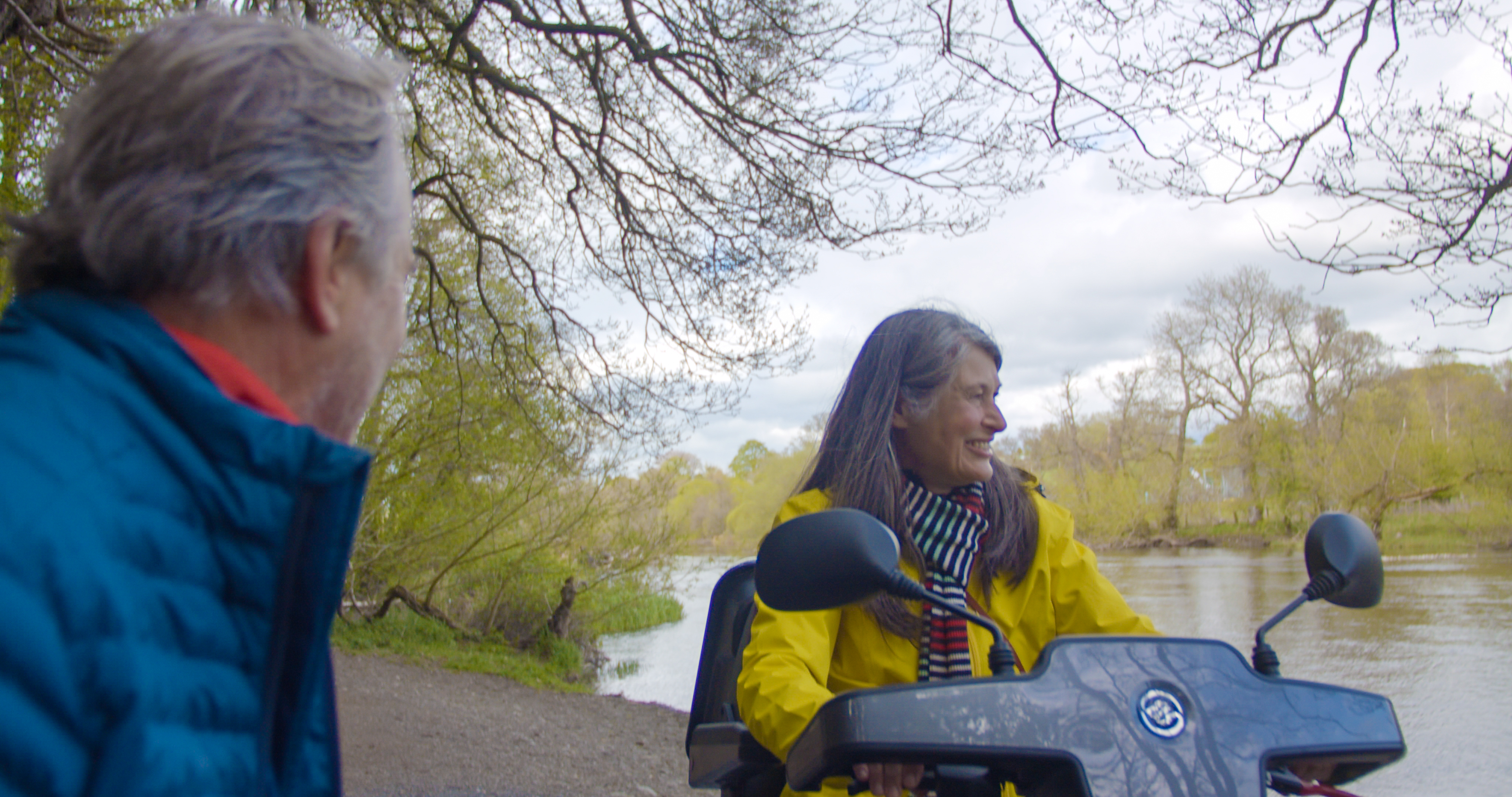
As well as not having any stiles to climb up and over, they are more accessible routes suitable for people with limited mobility. This includes wheelchair users, families with pushchairs, the visually impaired, and anyone who wants an easier walk with no scrambling, climbing or steep hills. Use our interactive map below to explore where the routes are, or choose from the menu on the left.
Distances shown are in kilometres for a return trip unless otherwise stated. Path conditions can change and be damaged, or eroded, by rain and bad weather. We do our best to carry out repairs quickly, but occasionally a route is closed, or diverted, for essential repairs. Check the individual route pages for up to date information on route conditions. Facilities such as toilets or bus timetables are also subject to change.
Please note that mobility scooters must be class 2 or 3 on the routes.

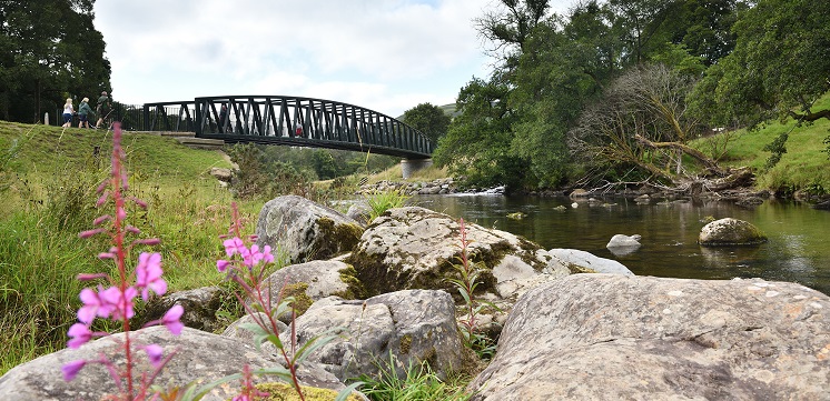
Staveley Riverside, a short circular route along the River Kent.
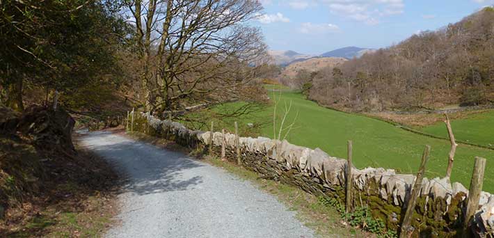
Broughton Miles without Stiles route follows a flat route along the old railway line.
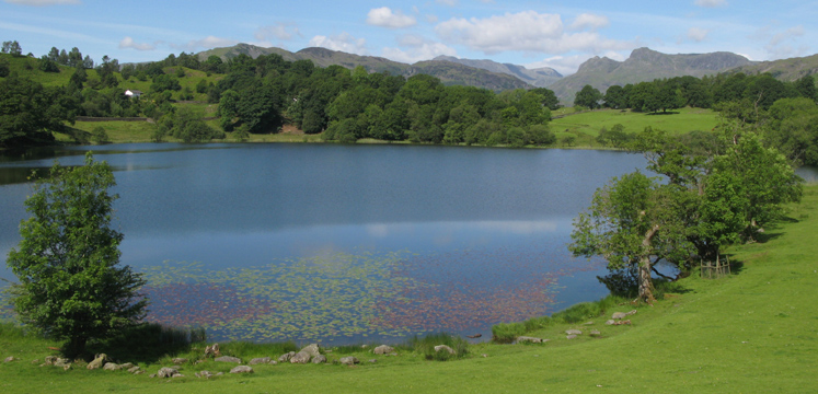
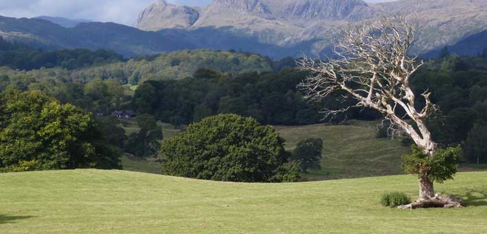
Take a circular route around beautiful Loughrigg Tarn.
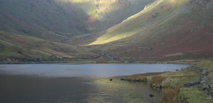
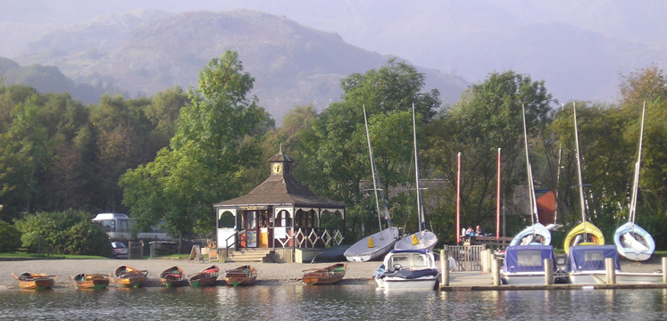
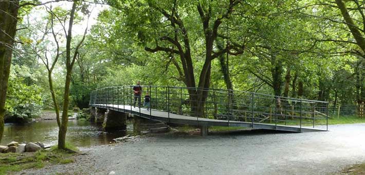
You can get right to the water's edge on the Monk Coniston route.
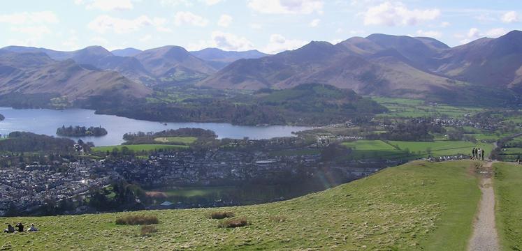
View from Latrigg of Keswick, Derwentwater and surrounding fells
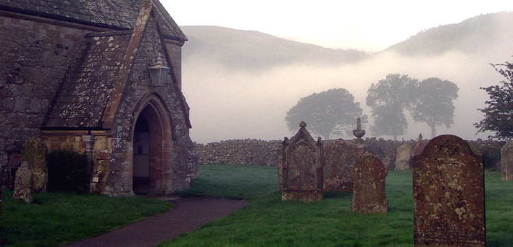
Derwentwater lake shore on the Friar's Crag Miles route.

The newly restored viewpoint at Orrest Head fell looking over Windermere lake below.
Our grading system: for 'all', 'many', 'some' and ‘challenging’, is based on gradients and surface conditions. The grades are a guide only, our aim is to give you information about the route and the terrain, so you can decide if it is suitable for you. Please be aware of your own, and your equipment’s capabilities and ensure your batteries are charged sufficiently if you need them. If you are unsure, maybe try a 'for all' route first, then a 'for many' route, before attempting a 'for some' route and finally, a ‘challenging’ route.
View information on each of the 50 routes below with links to full details per route.
Miles Without Stiles 1: Pooley Bridge
A linear route (0.9km each way) along Ullswater shore with superb views on northern reaches. Route for some. View route
Miles Without Stiles 2: Brothers Water
Gently undulating linear route (3.75km round trip) on wooded shoreline of Brothers Water, past Hartsop Hall to Sykeside. Route for many. View route
Miles Without Stiles 3: Kentmere
A linear walk (4.5km distance) into one of eastern Lakeland’s most beautiful valleys - OS Explorer Map OL7. Route for some View route
Miles Without Stiles 4: Scout Scar
A short, initially steep, walk (500m distance) to one of the best views across the entire southern lakes - OS Explorer Map OL7 Challenging route. View route
Miles Without Stiles 5: Bowness to Cockshott Point
This is a pleasant circular route (2km) with gentle slopes around the waterfront of Bowness and quieter shoreline around Cockshott Point. Route for all. View route
Miles Without Stiles 6: Windermere's Western Shore
A tarmac road and smooth stone track (9km distance) lead you up the quiet west shore, from the bustle of Bowness and Windermere. Route for many. View route
Miles Without Stiles 7: Red Nab to Wray Castle
This walk (5km distance) hugs the wooded shoreline of Windermere to bring you out to the tranquil setting of Wray Castle. Route for some. View route
Miles Without Stiles 8:Brockhole
A short route (1.5km distance) around the beautiful grounds of Brockhole on Windermere, taking in Windermere lakeshore. Route for many. View route
Miles Without Stiles 9: White Moss Common
This woodland and meadow walk (1.25km round trip with extension for some of 1km distance) gives access to River Rothay. Route for all. View route
Miles Without Stiles 10: Grasmere Riverside
A circular walk along the River Rothay (1.75km) away from the popular village . A longer 2.25km walk is available from A591 lay-by. Route for all. View route
Miles Without Stiles 11: Elterwater to Skelwith Bridge
A stunning linear walk (2km each way) taking in lakeside meadows, an iconic new bridge, roaring waterfall and great food. Route for many. View route
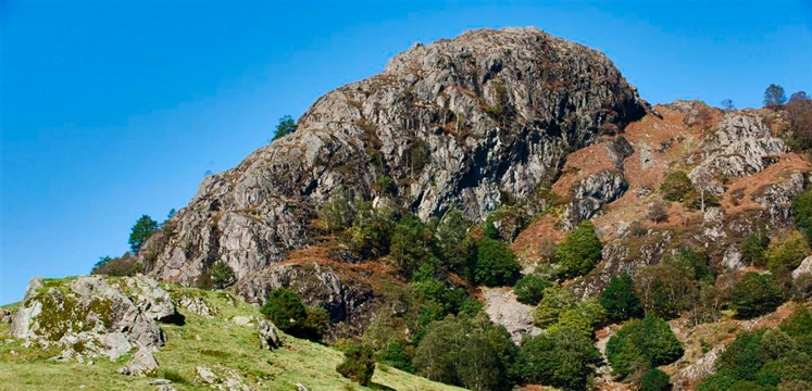
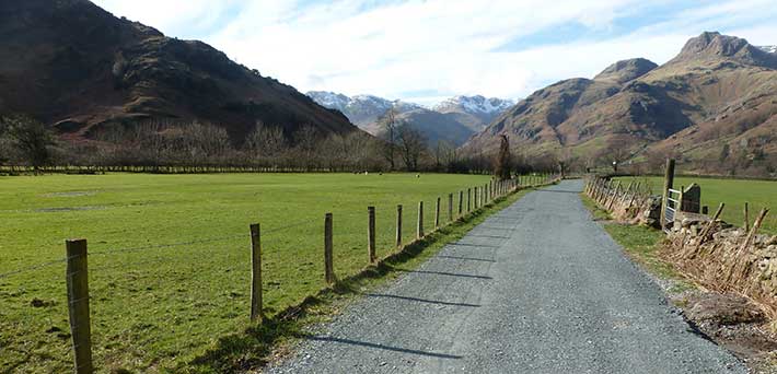
Miles Without Stiles 12: Blea Tarn
This linear path (1.5km each way) provides an upland experience and amazing views of Langdale Pikes. Shorter walk available. Challenging route. View route
Miles Without Stiles 13: Tarn Hows
This is a beautiful circular walk (3km distance) around this picturesque location. Route for some. View route.
Miles Without Stiles 14: High Yewdale
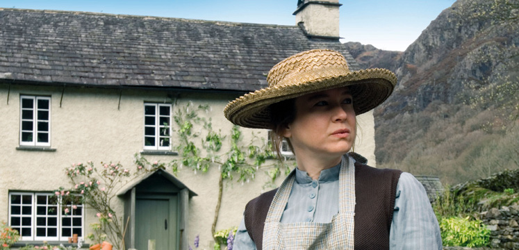
A short walk to historic Yew Tree Farm (1.5km distance) used as Beatrix Potter’s home in the Renée Zellweger film. Route for some. View route
Miles Without Stiles 15: Yewdale Bridleway
This undulating linear route (2.5km each way) goes under rocky ramparts of Yewdale fell side, through Yewdale Woods, linking with other Miles without Stiles routes 14,16, and 17. Route for some. View route

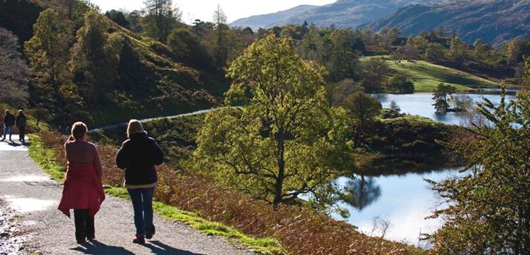
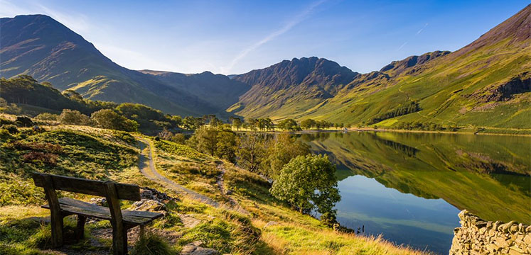
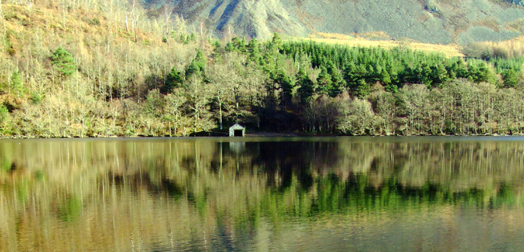
Miles Without Stiles 16: Monk Coniston
This short route (3.5km distance) takes you between the lakeshore at Monk Coniston and Coniston village. A linear section of the route (1.74km) is suitable for all. Route for some. View route
Miles Without Stiles 17: Coniston to Torver Jetty
A walk (3.5km each way) along the shoreline of Coniston Water, with the option of returning on the Coniston Launches from Torver jetty. Route for many. View route

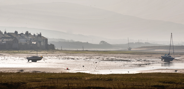
Miles Without Stiles 18: Broughton Railway
Broughton on Furness route (4.5km distance) starting in the picturesque town, follows the old railway line which originally went to Coniston to support the mining industry. Route for all. View route
Miles Without Stiles 19: Dalegarth to Eskdale
Loop route (2.5km distance) with two spur path options, it links Ravenglass and Eskdale Railway Station to Boot. Route for some. View route
Miles Without Stiles 20: Walls Drive, Ravenglass
Set in the western village of Ravenglass, this (2.2km) walk takes you to one of the tallest Roman buildings in England. Routes for all. View route
Miles Without Stiles 21: Ravenglass to Saltcoats
This short linear route (1km each way) takes you from the waterfront of Ravenglass across the River Mite to the beachfront at Saltcoats. Route for some. View route
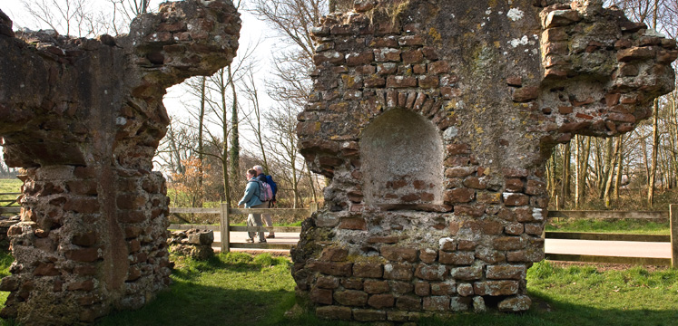
Miles Without Stiles 22: Calder Bridge
A tranquil, riverside walk (2km distance) aside ruins of Calder Abbey, described as one of Britain’s most enchanting ecclesiastic relics. Route for all. View route
Miles Without Stiles 23: Ennerdale Views
A loop 'for all' (2km) and a longer (4.2 km) level walk 'for many' along Ennerdale Water’s western shore with fantastic views of the wild Ennerdale fells. View route
Miles Without Stiles 24: Ennerdale Forest Road
A forest road in Ennerdale (18.5km distance) the wildest and least inhabited valley in the Lake District. A few sections steeper than 1:8. Route for some. View route
Miles Without Stiles 25: Buttermere Lakeshore
Varying lengths of walks, (1.5km/7.5km) depending on levels of ability. They all have one thing in common - the beauty of Buttermere!. Route for all. View route
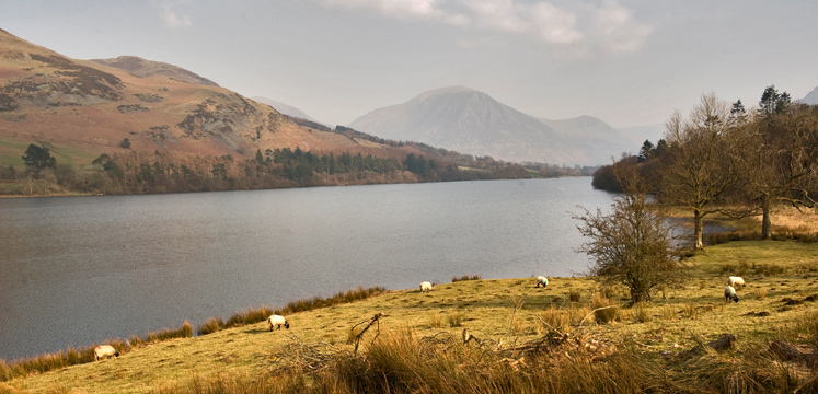
Miles Without Stiles 26: Loweswater
This is a lovely level walk (4km distance) in one of the quieter corners of the Lake District. Route for all. View route
Miles Without Stiles 27: Dubwath Silver Meadows
This scenic wetlands nature reserve (2.5km distance) route, northern Bassenthwaite, is a haven for wildlife lovers. Route for all. View route
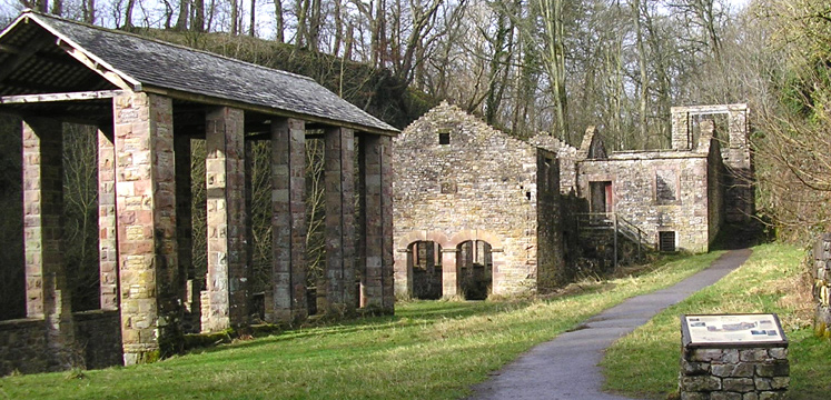
Miles Without Stiles 28: The Howk, Caldbeck
This is a short walk (500m each way) from the picturesque village centre to the old bobbin mill and the Howk limestone gorge. Route for all. View route
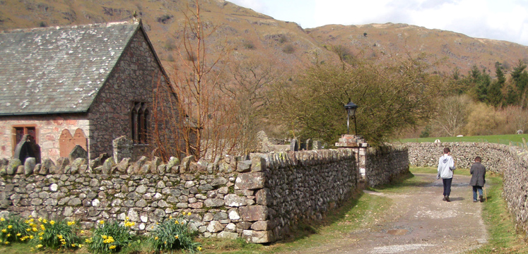
Miles Without Stiles 29: Mirehouse to St Bega's Church
This linear route (1.25km each way) takes you past historic Mirehouse and onto ancient St. Bega’s Church. Route for many. View route
Miles Without Stiles 30: Braithwaite to Force Crag Mine
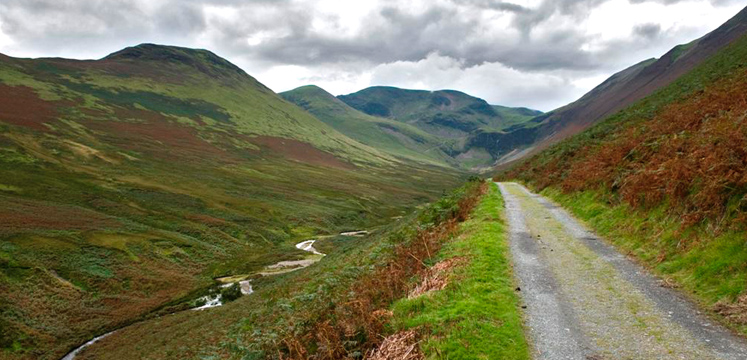
A strenuous route (8km distance) that goes right into the heart of the hills. The gradients are not steep but rise continuously. Route for some. View route
Miles Without Stiles 31: Portinscale Riverbank Loop
This is a pleasant short circuit loop (1.5km distance) along the banks of the River Derwent, taking in Portinscale village. Route for many. View route
Miles Without Stiles 32: Stair Riverside
This is beautiful riverside walk (3.25km distance) IS CURRENTLY CLOSED
Miles Without Stiles 33: Sizergh and Holeslack Wood
A circular route for some, 1.9km distance, setting off from Sizergh Castle Cafe car park.
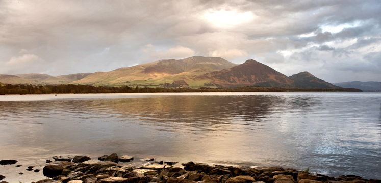
Miles Without Stiles 34: Derwentwater Lakeshore
This is a beautiful (8.4km distance there and back) woodland walk along the western shore of Derwentwater. Route for some. View route
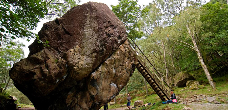
Miles Without Stiles 35: The Bowderstone
An undulating short distance linear route (450m each way) with short steeper sections. Expect woodland and in May, beautiful bluebells. Route for some. View route

Miles Without Stiles 36: Friar's Crag
A beautiful and varied (1.25km distance) walk to a stunning viewpoint. A longer, circular route back to the car park, through Cockshott Wood, is also available. Route for all. View route
Miles Without Stiles 37: Keswick to Threlkeld
A stunning (10km distance) walk through the River Greta gorge. Route for all. View route

Miles Without Stiles 38: Latrigg
A short (1km distance each way) walk which is initially steep, to an amazing view of Keswick and Borrowdale. Route for some. View route
Miles Without Stiles 39: Station Coppice
Two short routes (250m distance) with excellent views of Thirlmere Reservoir. Route for all. View route
Miles Without Stiles 40: Staveley Riverside
A circular walk (1.25km distance) on a level path alongside the River Kent and minor tarmac road, returning to Staveley Mill Yard. Route for all. View route

Miles Without Stiles 41: Loughrigg Tarn Circuit
A level path walk (2.75km distance) above Loughrigg Tarn with a minor tarmac road return. Route for many. View route
Miles Without Stiles 42: Lanthwaite Wood to Crummock Water
A gently undulating path walk (2.5km distance) to the shores of Crummock Water. Route for some. View route
Miles Without Stiles 43: New Dungeon Ghyll - Elterwater
A walk (6km each way) along Great Langdale valley with quarry and wooded riverside. The section to footbridge is suitable for all. Route for some. View route
Miles Without Stiles 44: High Tilberthwaite to Little Langdale
This bridleway (3km each way) winds through Tilberthwaite, Hodge Close, to Little Langdale Ford and Slater Bridge. Route for some. View route
Miles Without Stiles 45: White Moss Common
This lakeside and woodland walk (1.5km each way) with some steep slopes gives access to Rydal Water. Route for some. View route
Miles Without Stiles 46: Clappersgate to Wray Castle
Undulating linear (4km each way) walk along field and woodland to National Trust's Wray Castle on the shores of Windermere. Route for some. View route
Miles Without Stiles 47: Wray Castle to Loanthwaite
Undulating linear walk (3.5km each way) leading from Wray Castle through meadows and woodland to Low Loanthwaite. Route for some. View route
Miles Without Stiles 48: Hawkshead to Loanthwaite Lane
Short linear walk (1km each way) leading from the picturesque village of Hawkshead through the meadows north to Loanthwaite Lane. Route for many. View route
Miles Without Stiles 49: Dunmallard Wood Pooley Bridge
This level (440m distance) route takes you along the river Eamont through Dunmallard Wood to some benches. Route for many. View route
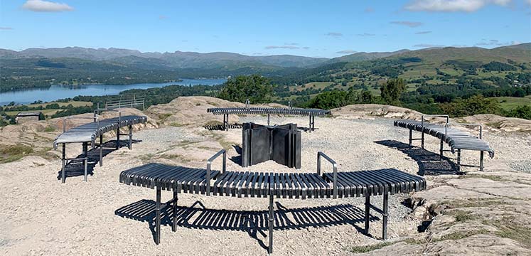
Miles Without Stiles 50: Orrest Head
This (3.5km round trip) walk summits the fell Orrest Head through Elleray Wood to 360º views over Windermere and fells. Route for some. View route
Miles Without Stiles 51: West Windermere Way
This 3km round trip is a section of the West Windermere Way (1.5km of 8km) that starts at the ferry and train terminal near the Lakes Aquarium, Lakeside. Route for some. View route
Please share your comments on the routes, your feedback is invaluable.
Thanks to the many organisations who have helped us create these routes including:
Cumbria County Council, National Trust, Forestry Commission, Tourism and Conservation Partnership, Bassenthwaite Reflections, Environment Agency, Friends of the Lake District, United Utilities, Parish Councils and private landowners
Parts of these maps are based upon © Intermap Technologies Inc. All rights reserved DlaK001 2009 Copyright GeoPerspectives Copyright LDNPA