


Code
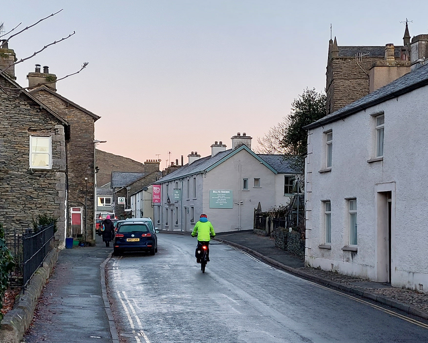
All new development must contribute towards the creation of active frontages and natural surveillance of the street. All streets must be:
- designed with all eventual users in mind.
- tree-lined and incorporate space for biodiversity and other green infrastructure, such as SuDS.
- prioritising the safe and efficient movement of pedestrians and cyclists.
- permeable, particularly for pedestrians and cyclists.
- reducing the reliance on cars and ensuring that parked vehicles do not dominate the street scene.
- welcoming and encourage social interaction, including space for informal seating and gathering.
- appropriately lit depending on their location within a settlement and with regard to the impacts lighting has on wildlife.
- legible and easy to navigate for all users. Creative use of specimen trees and public art should be explored for enhancing legibility, particularly for those with cognitive impairments.
- free of unnecessary signage and line work that can contribute towards overly urbanised characters. For example, carefully designed narrowing of streets can be used to deter on street parking and therefore remove the need for yellow lines.
- use minimal street furniture. All new street furniture must be coordinated and appropriate to the Lake District context, utilising robust, natural and green materials where possible.
- sufficiently large to achieve their intended function, including serving suitable car parking and allowing for access by services and emergency vehicles.
- the minimum required carriageway width whilst maximising spaces of pedestrians, cyclists and green infrastructure.
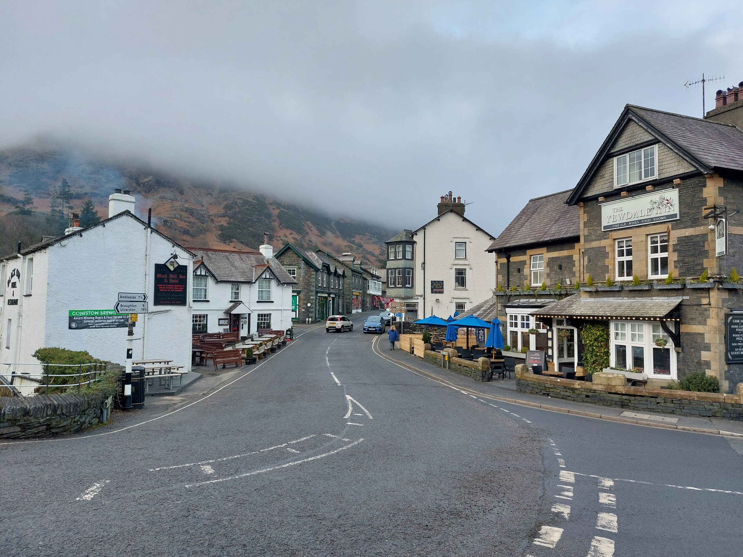
Street hierarchy
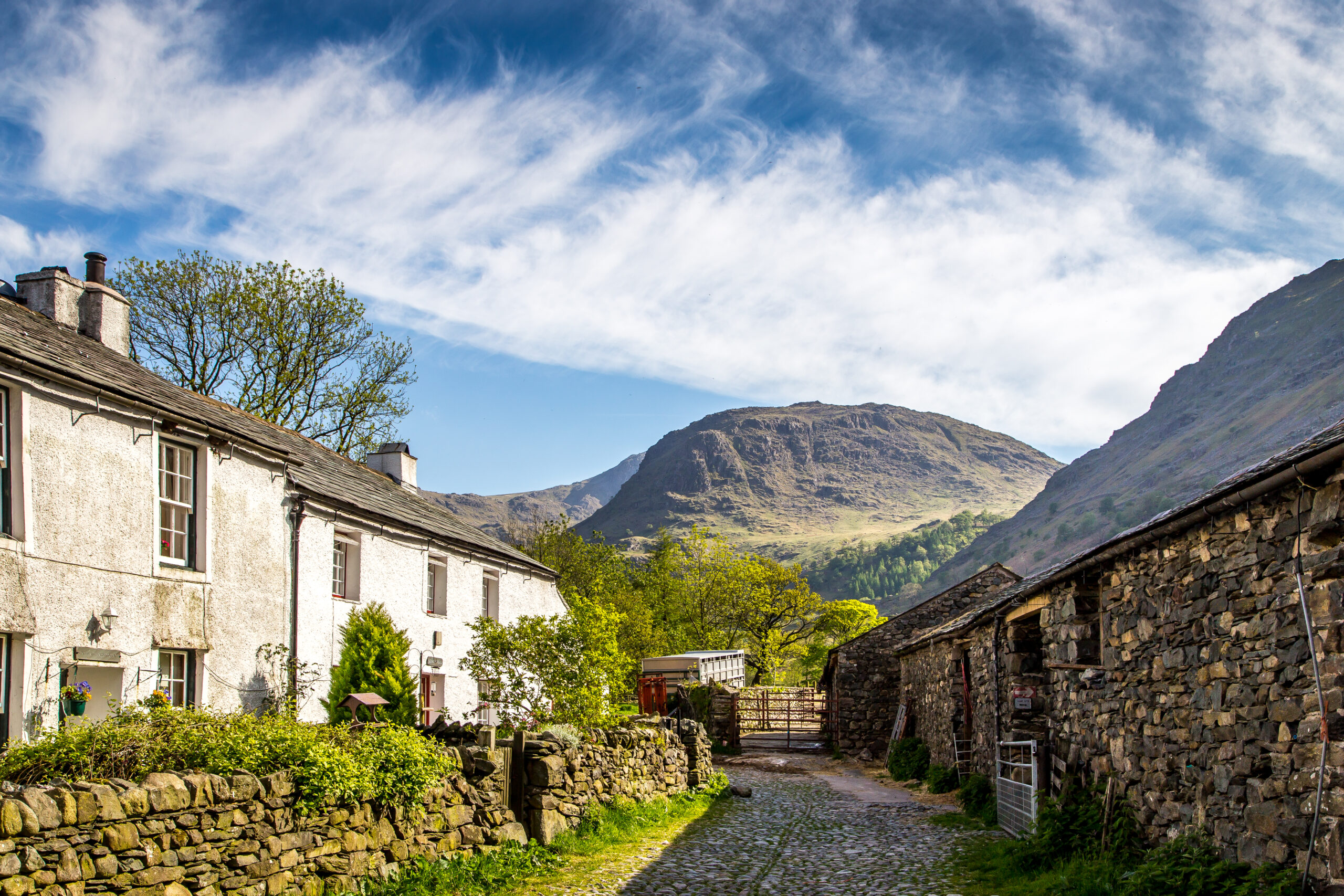
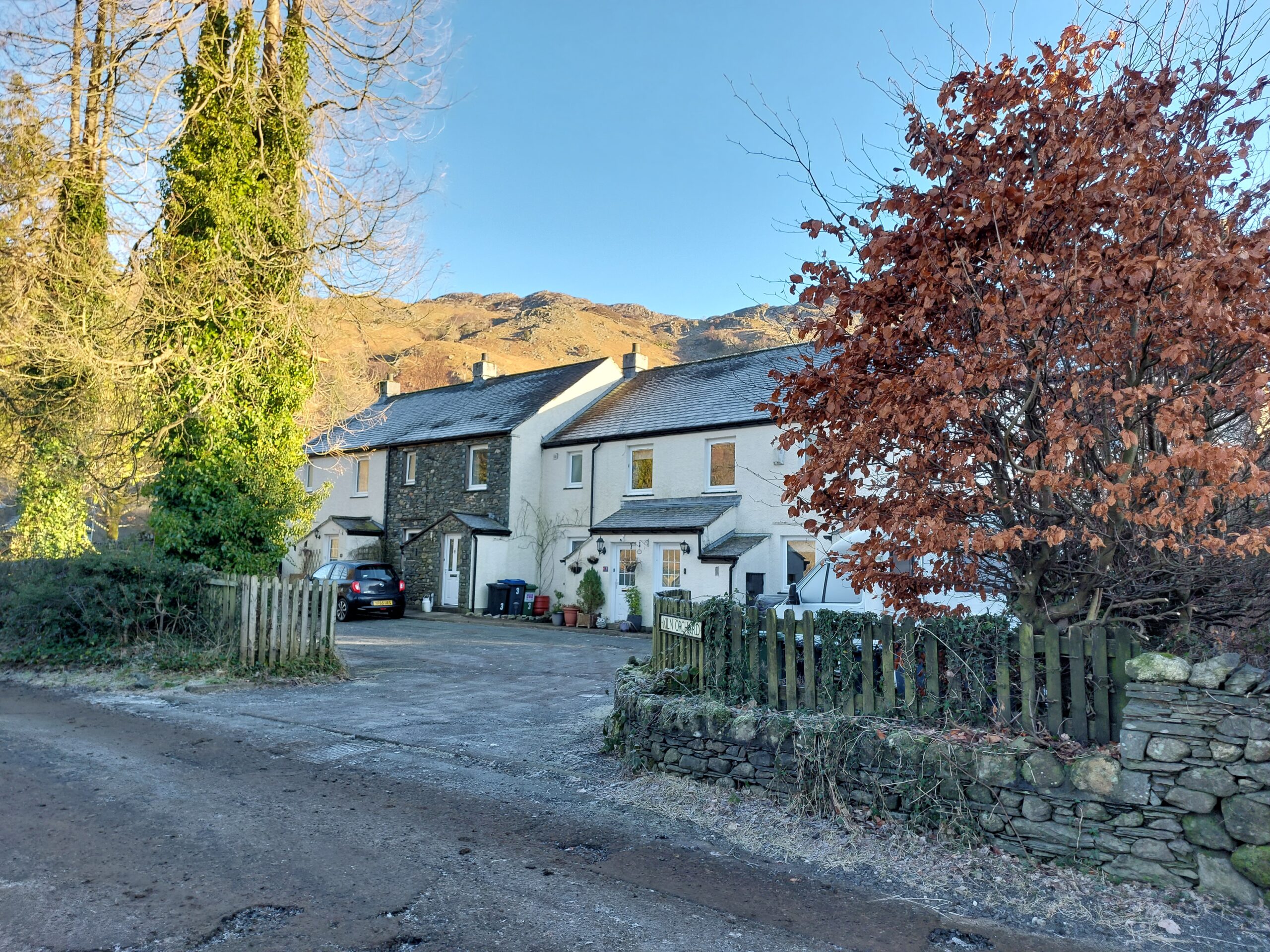
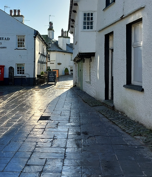
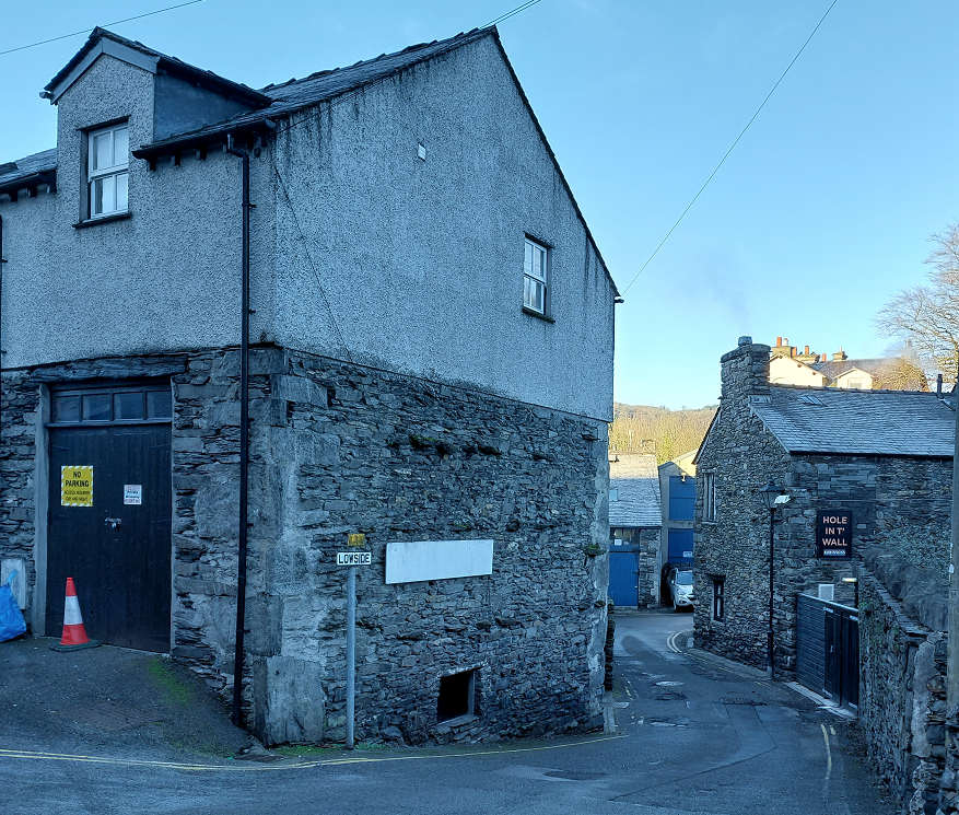
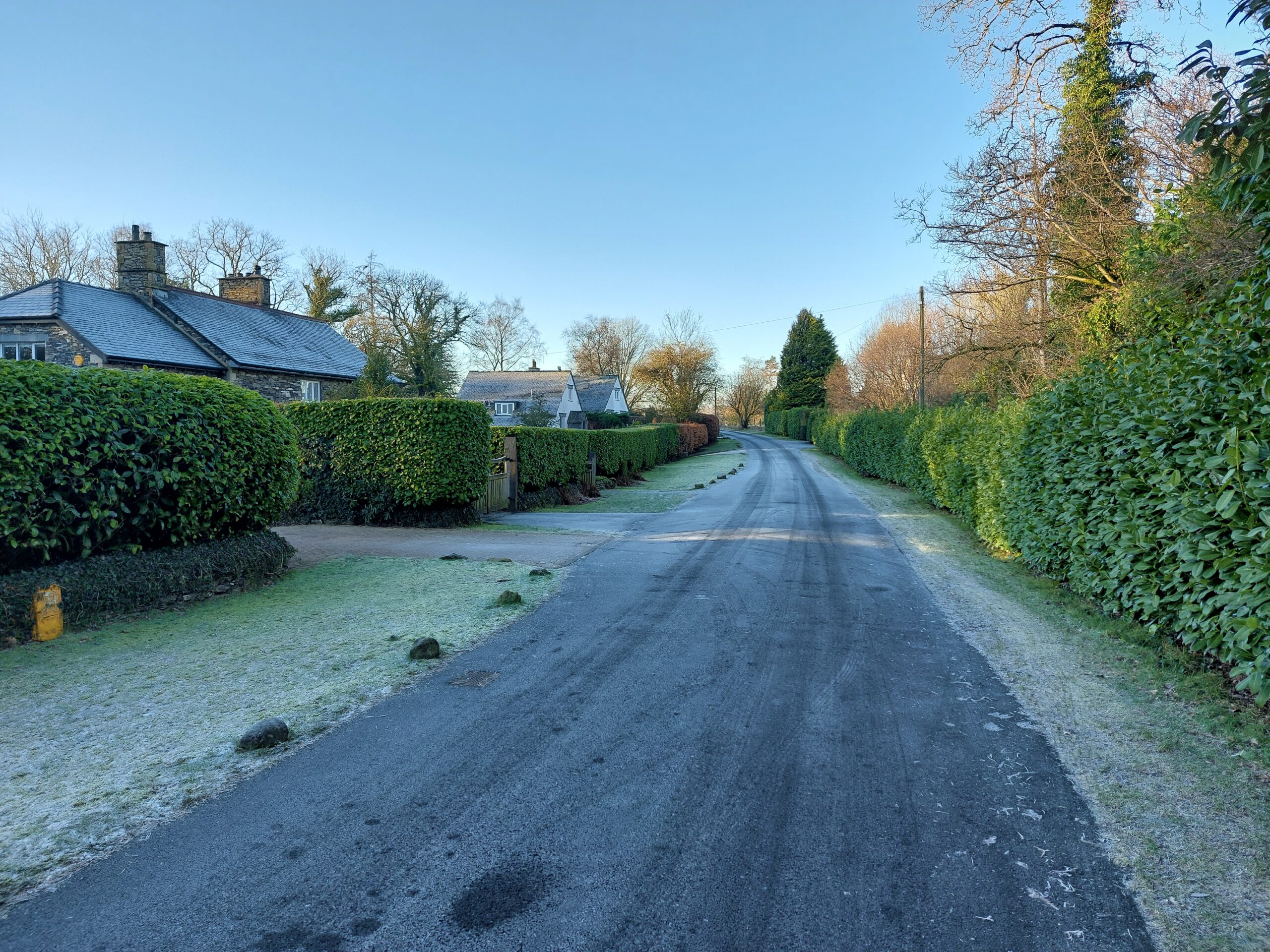
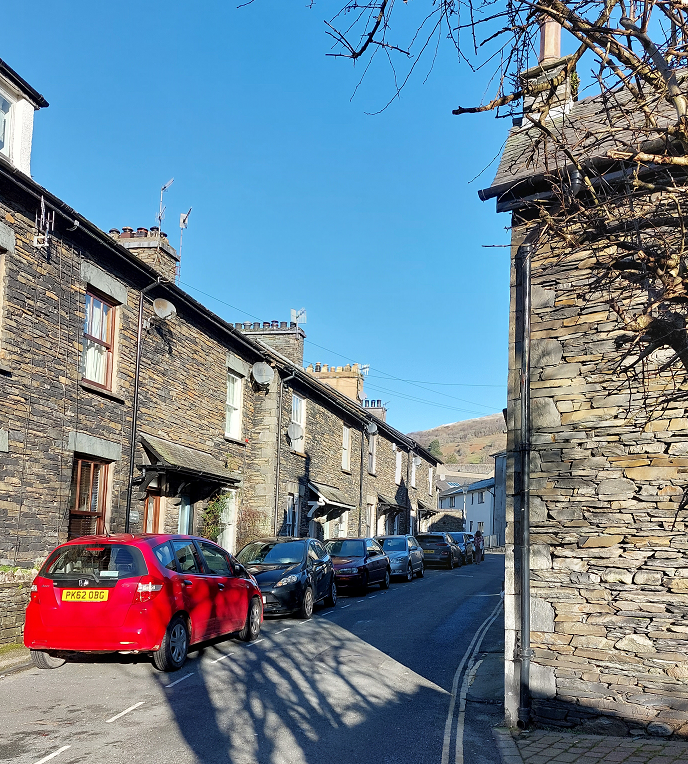
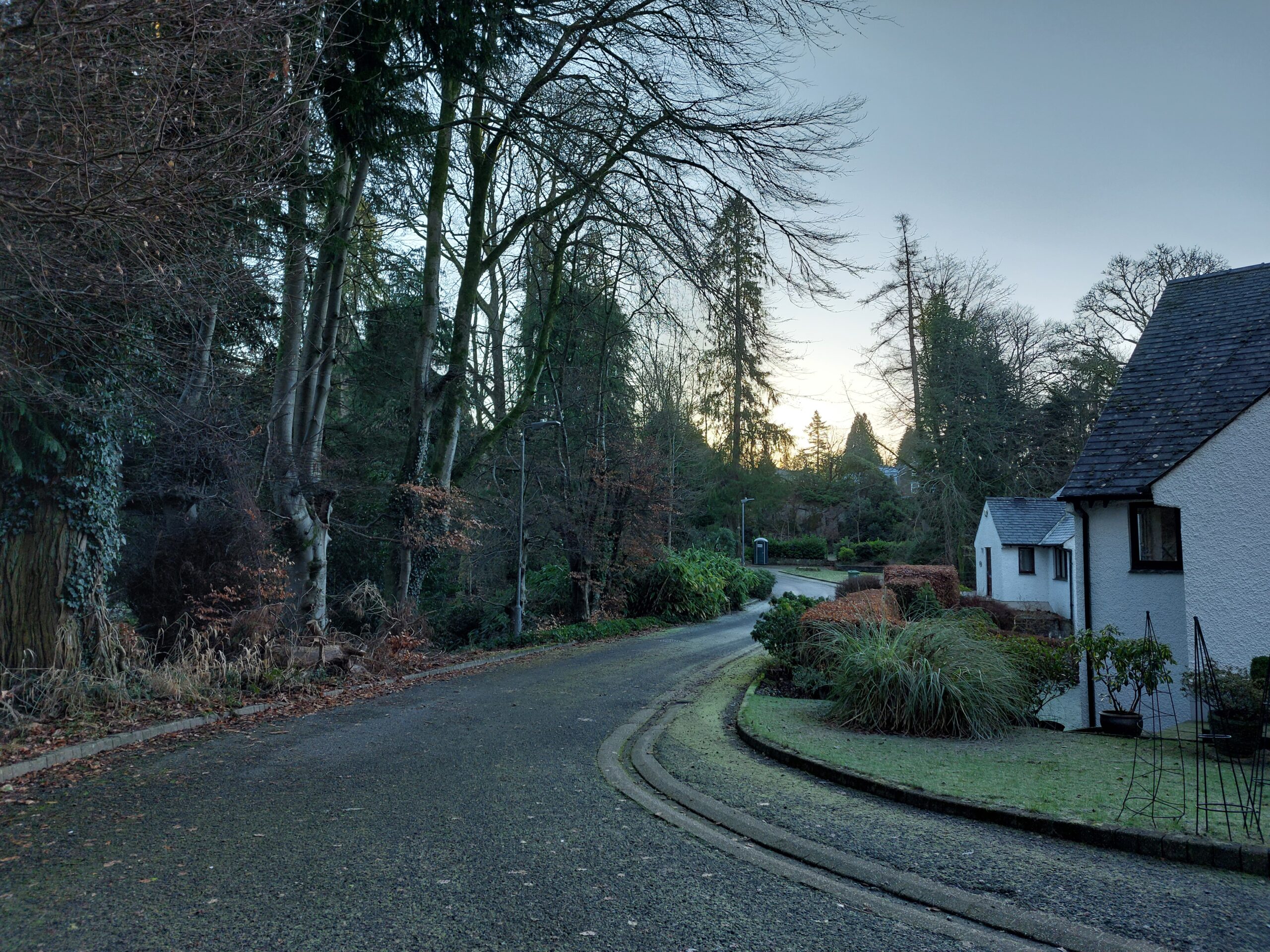
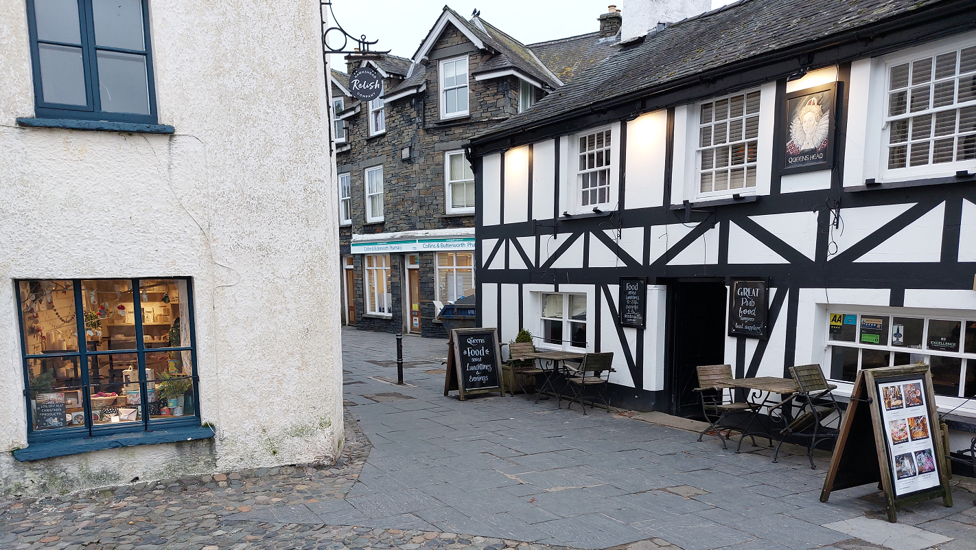
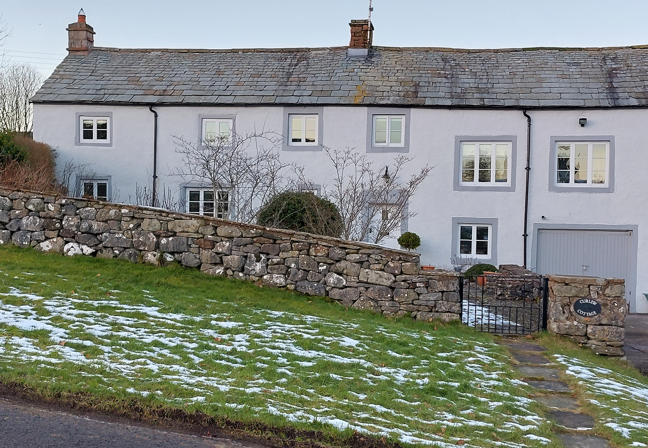
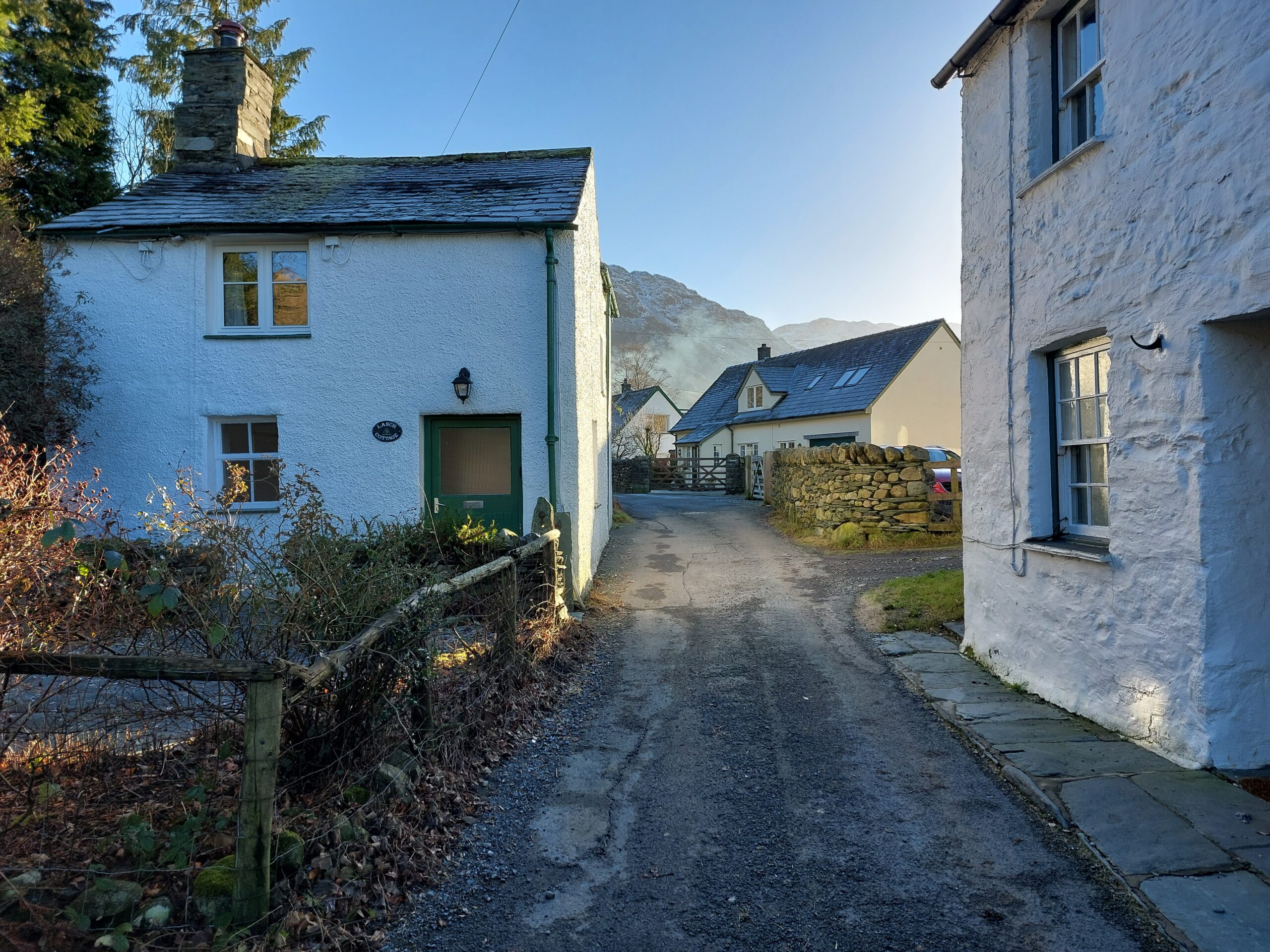
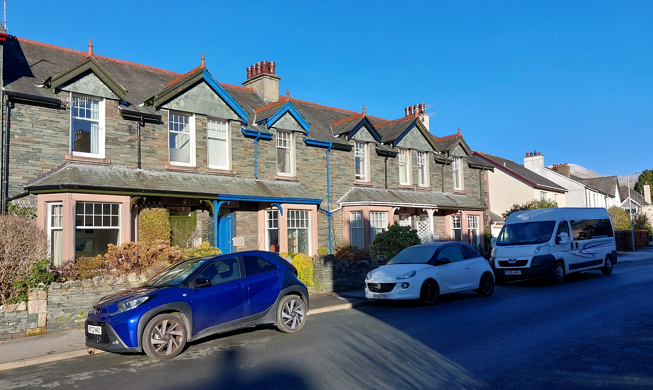
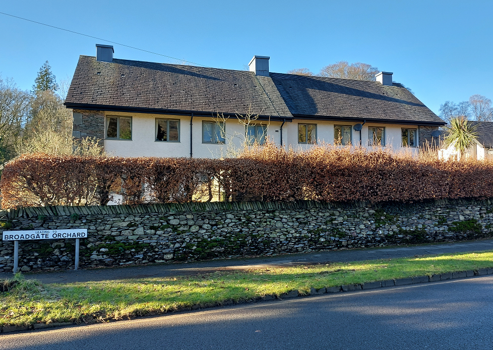
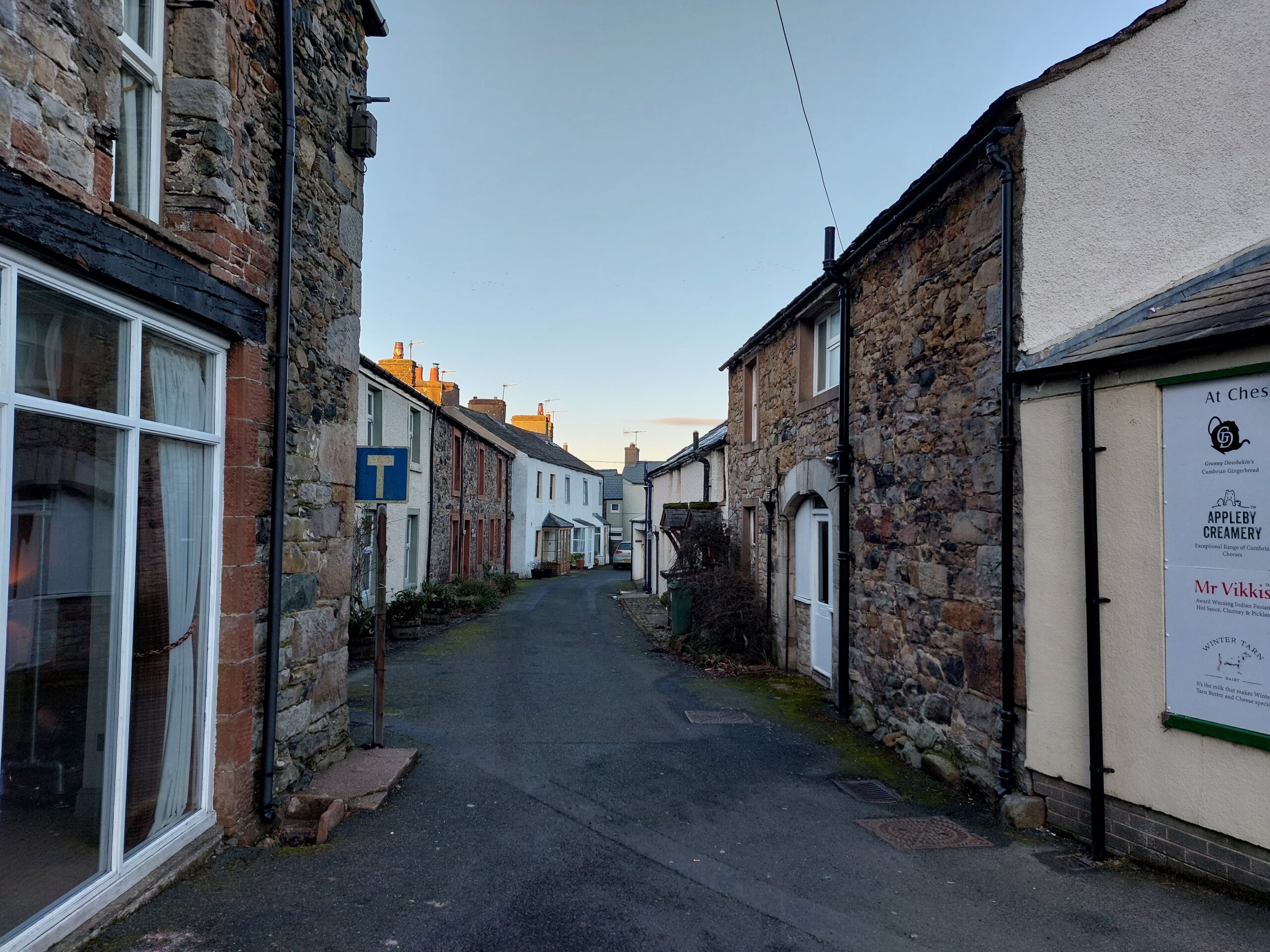
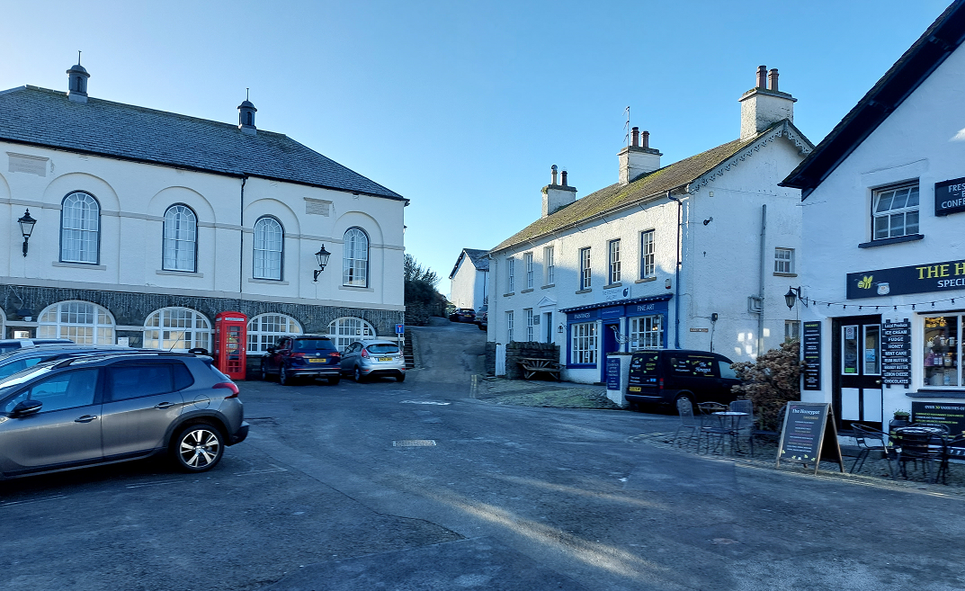
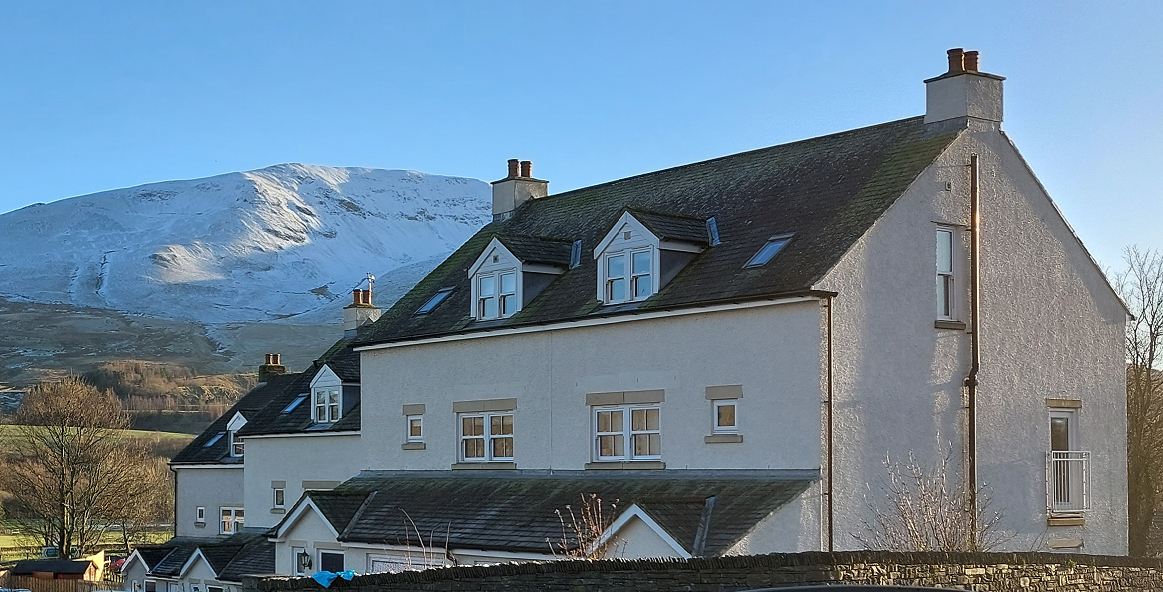
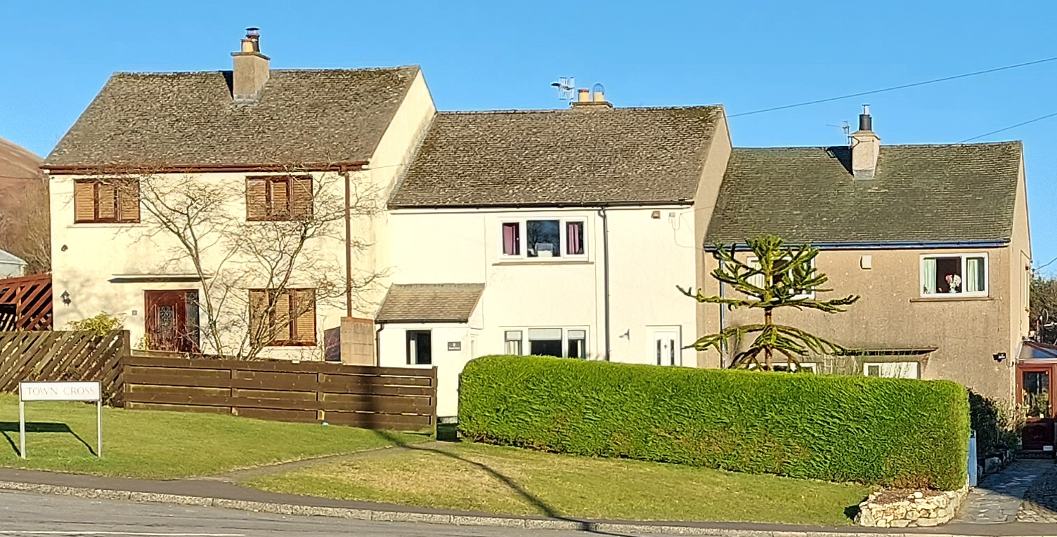
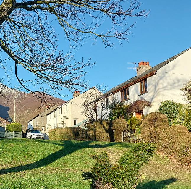
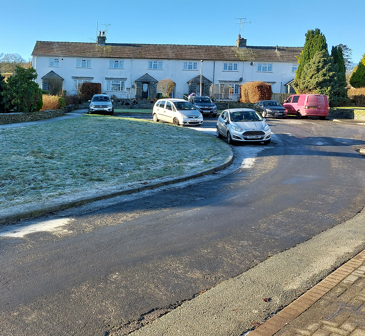
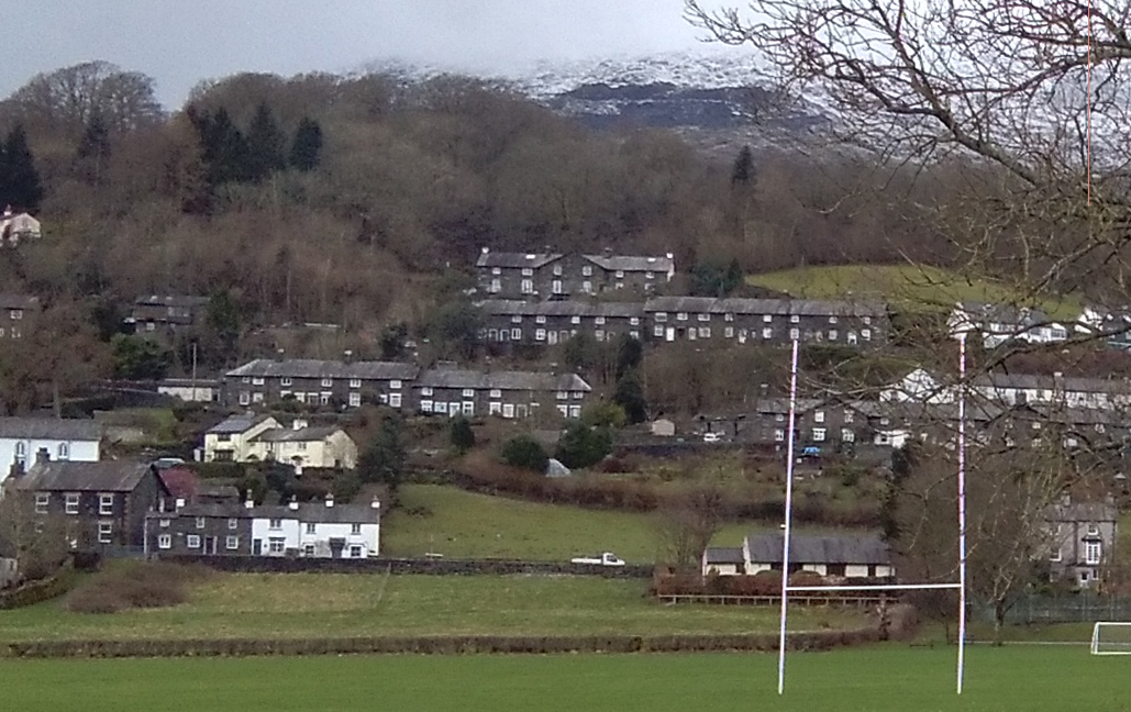
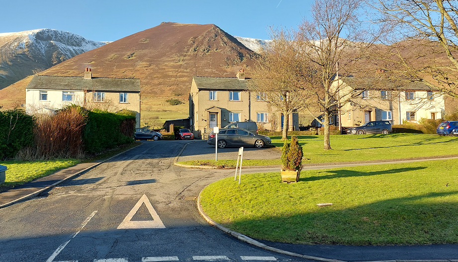
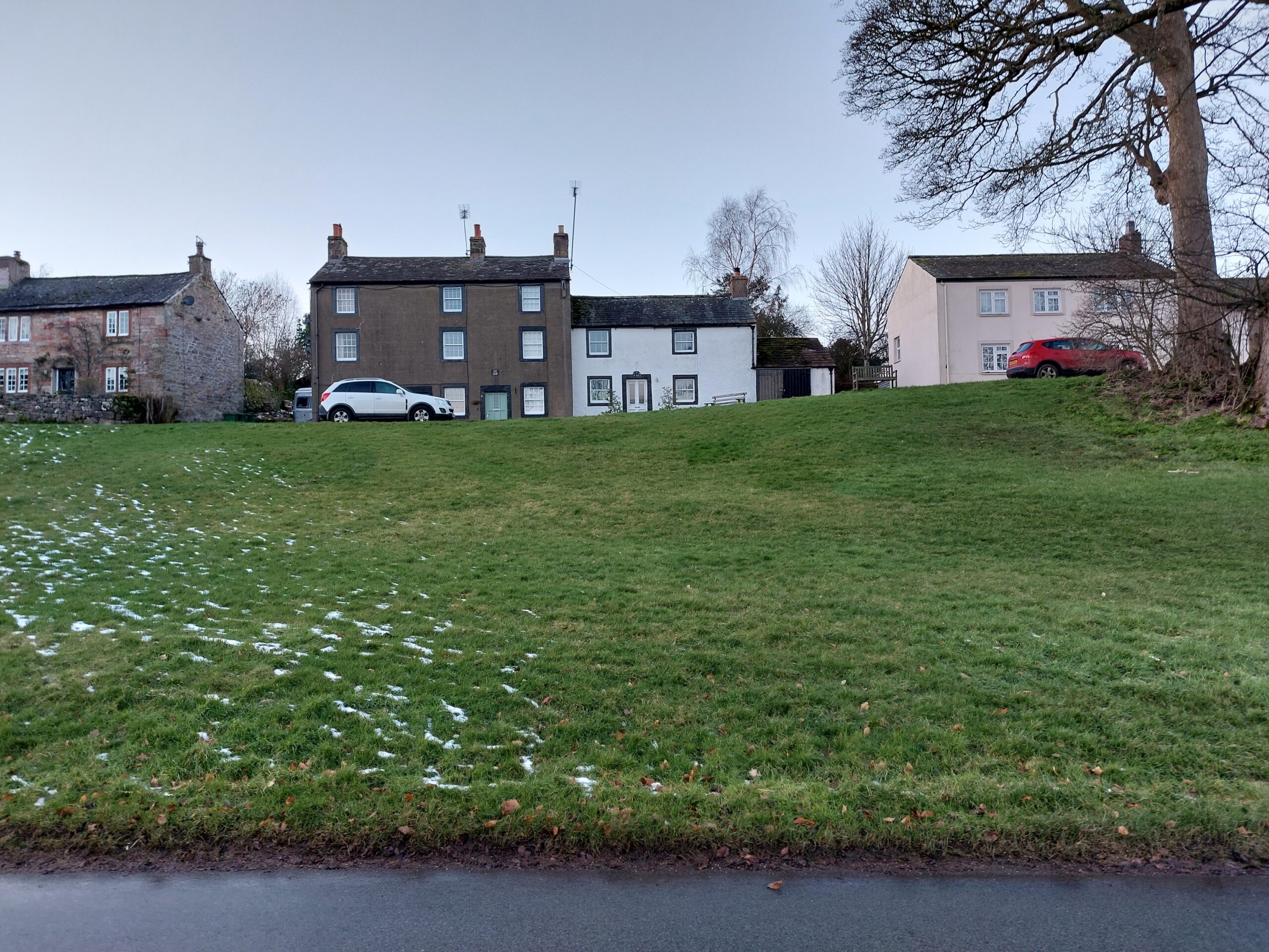
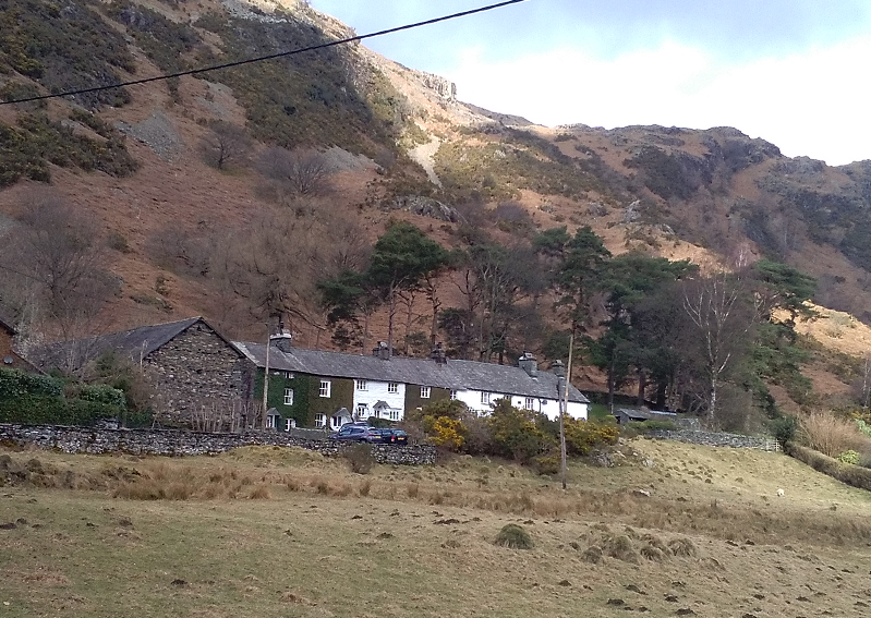
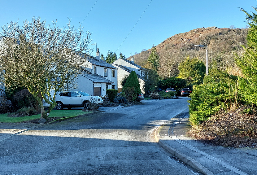
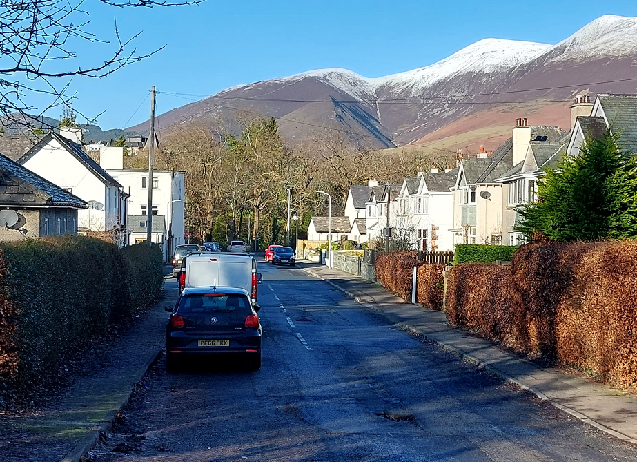
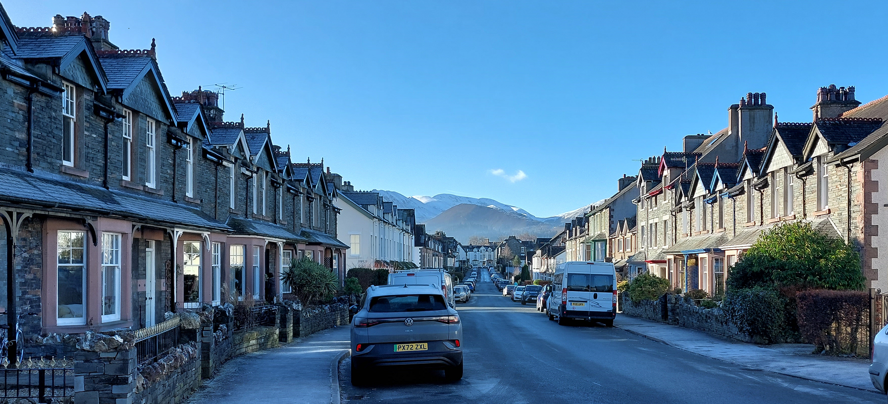
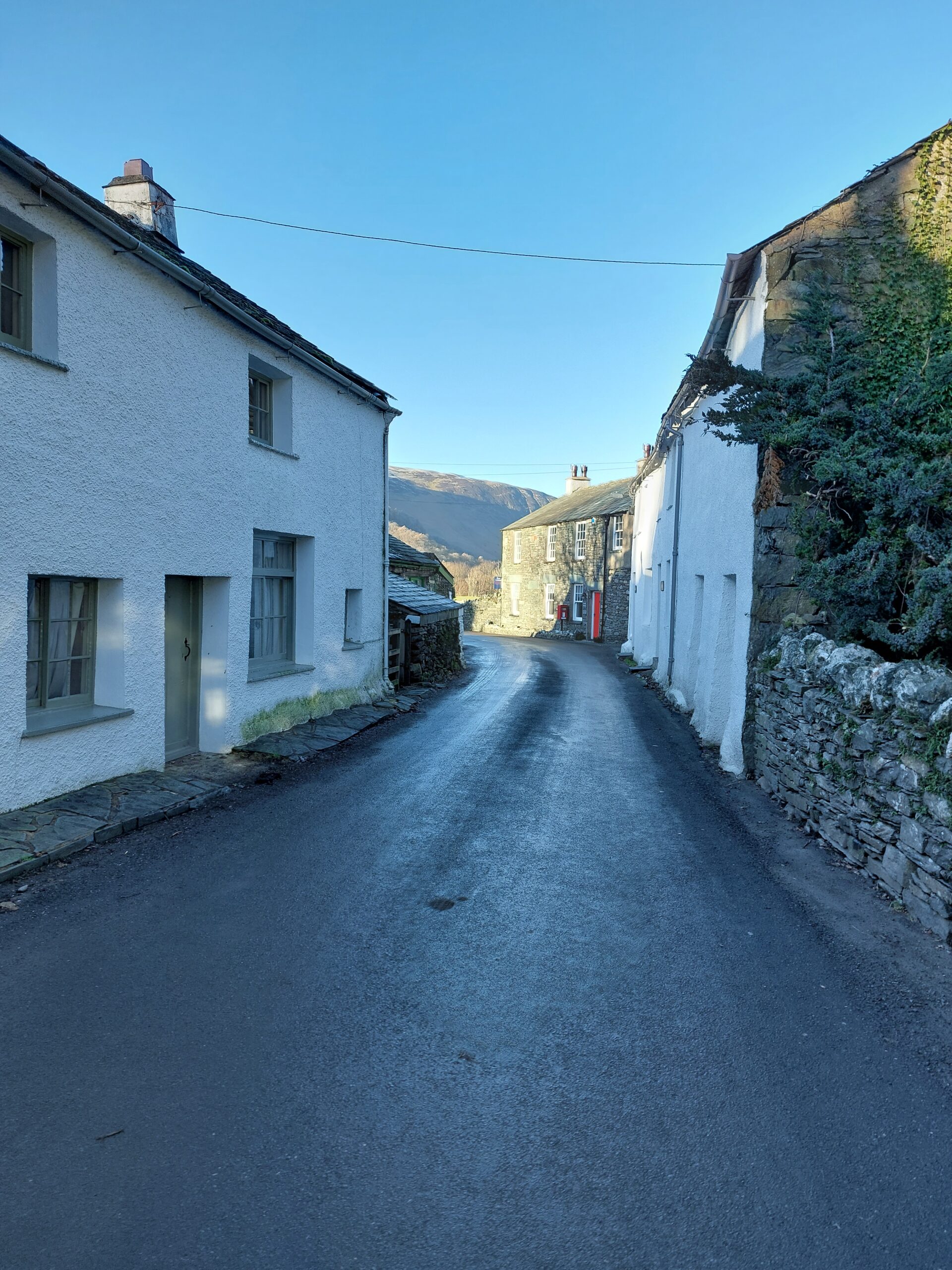
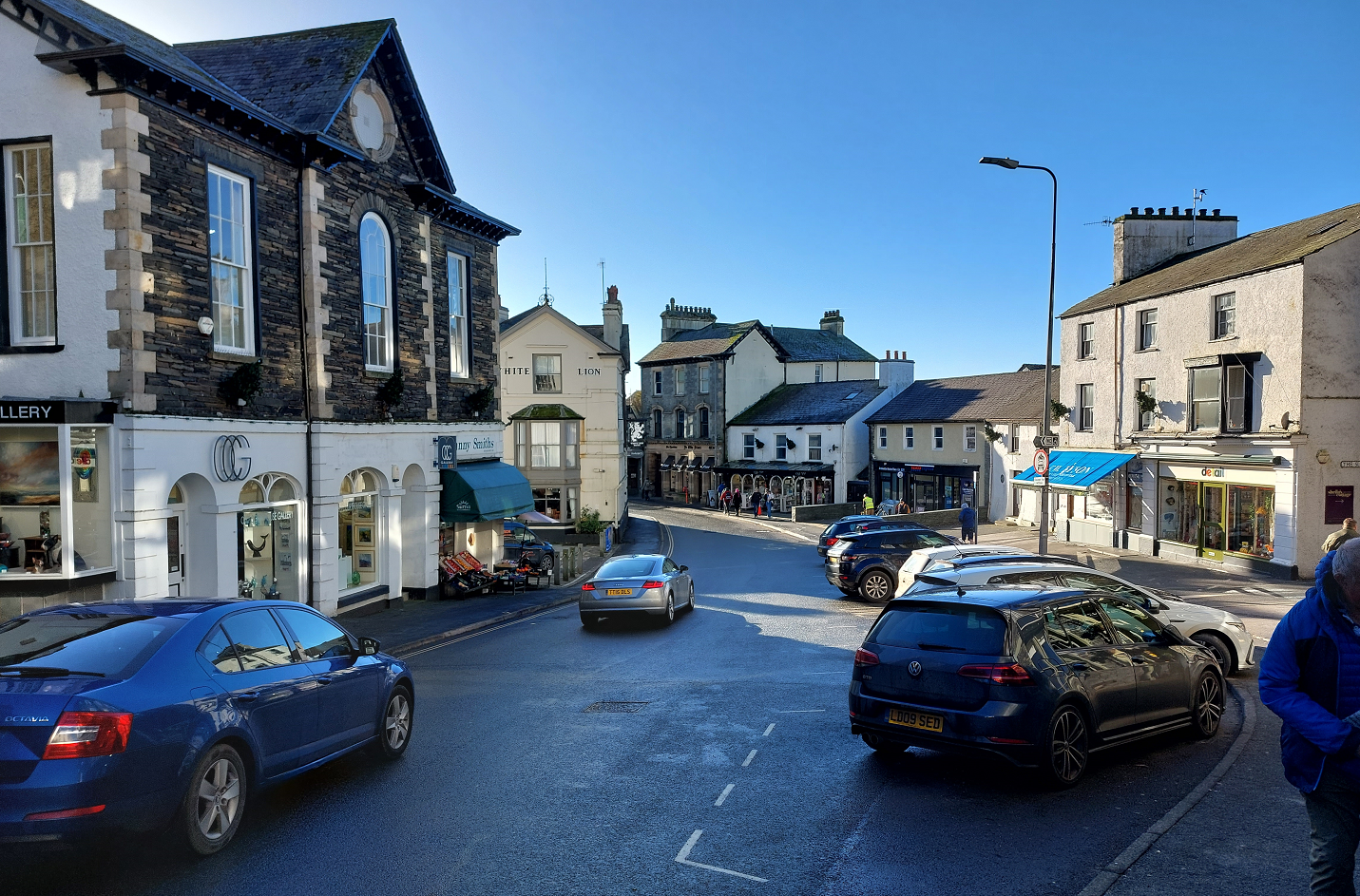
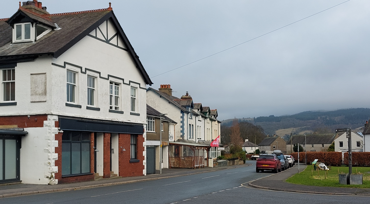
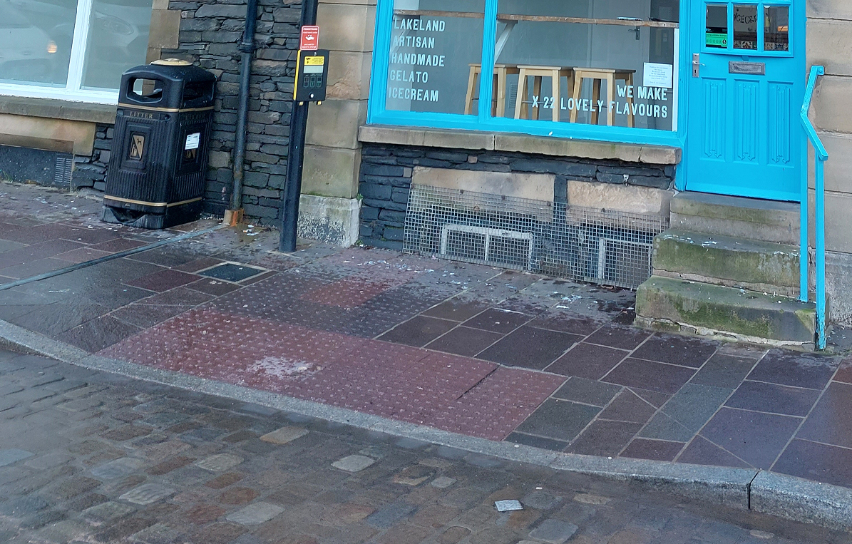
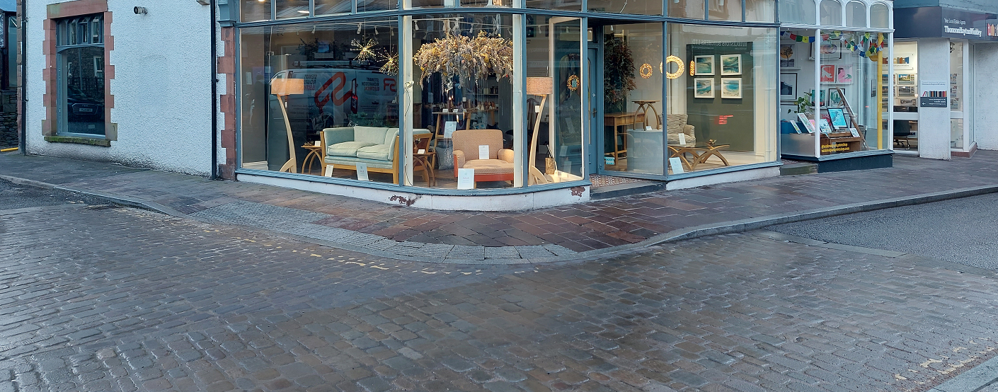
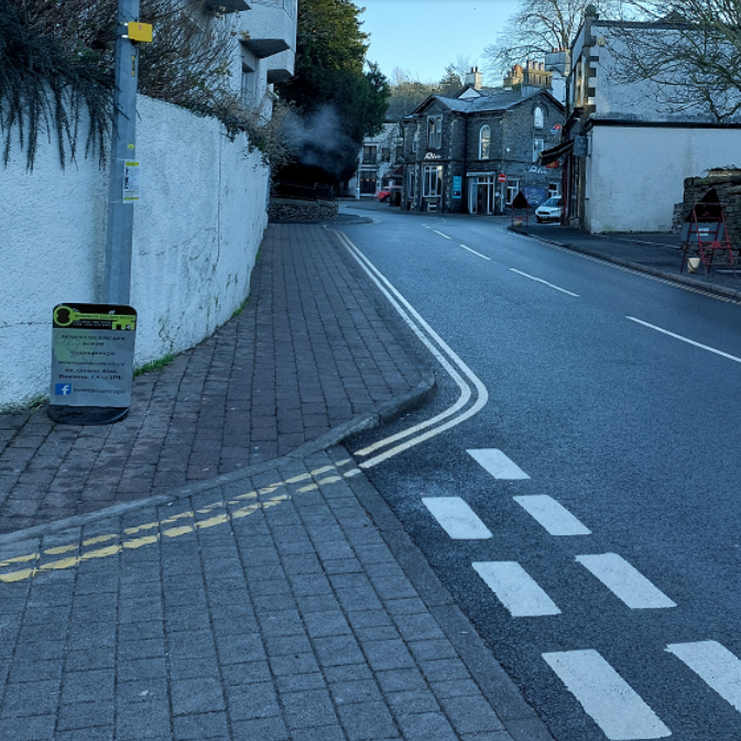
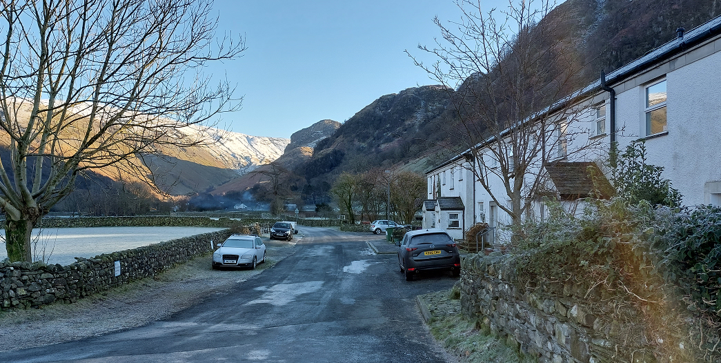
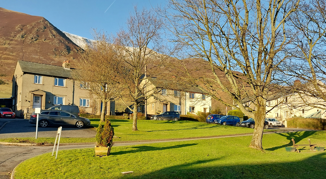
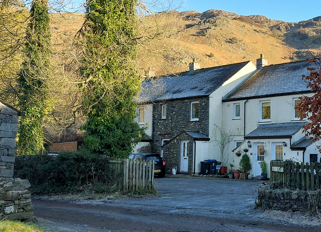
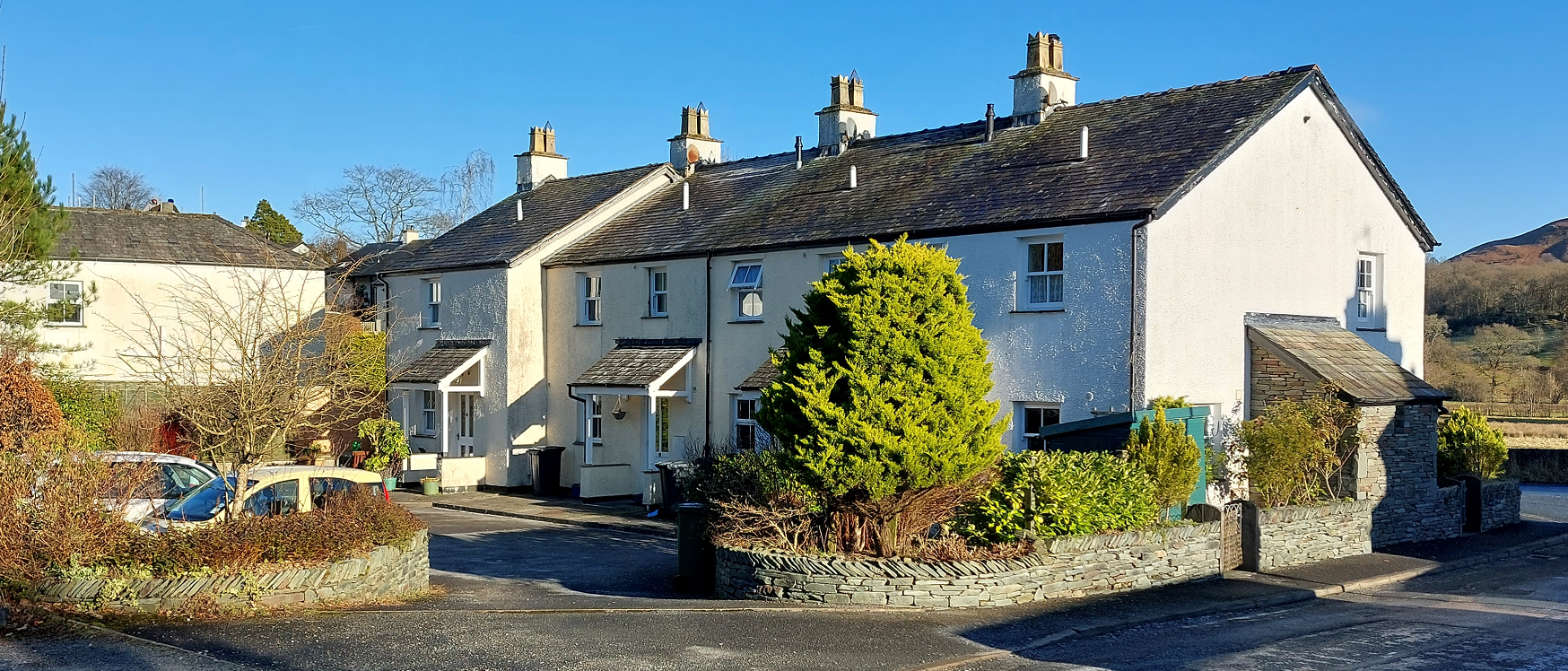
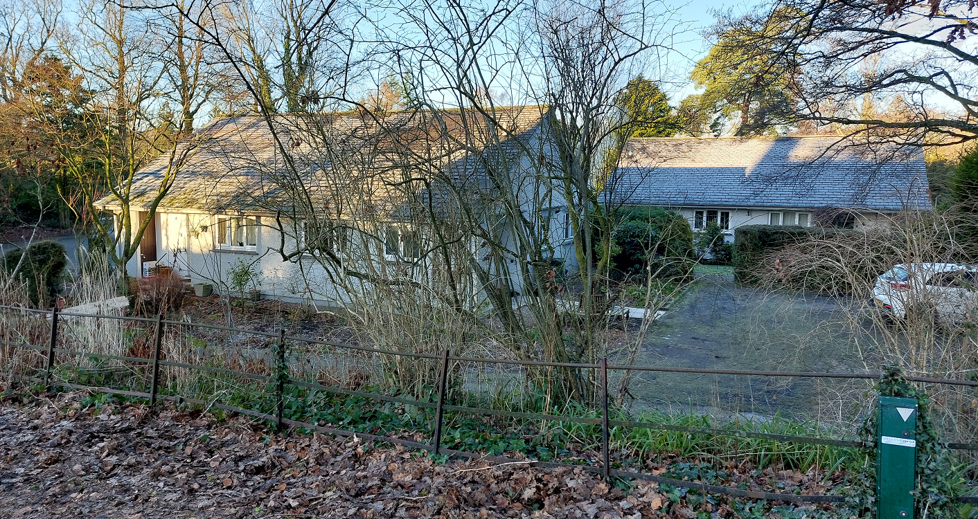
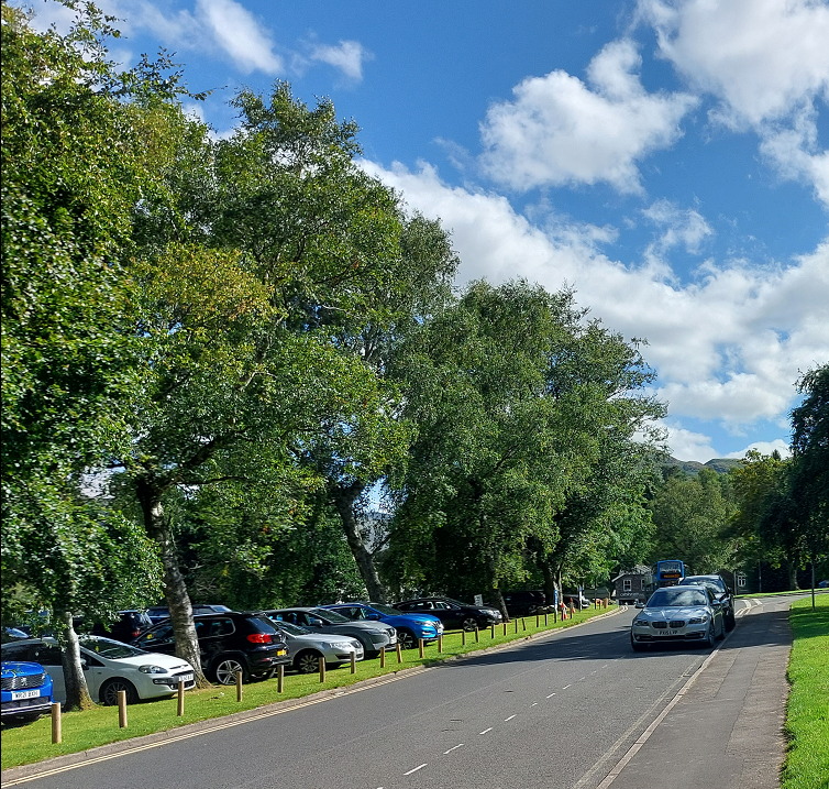
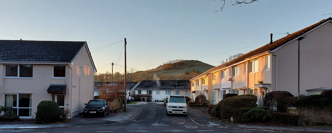
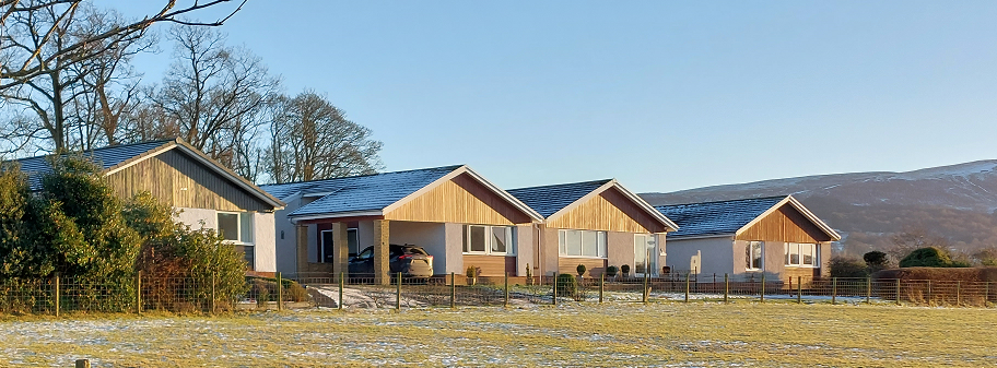
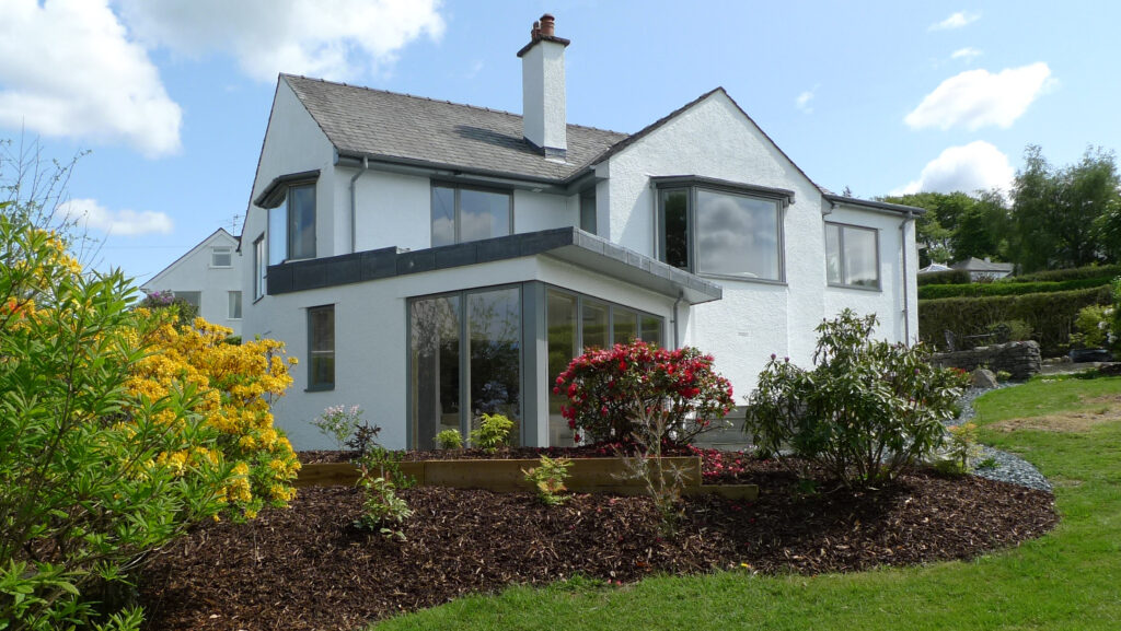
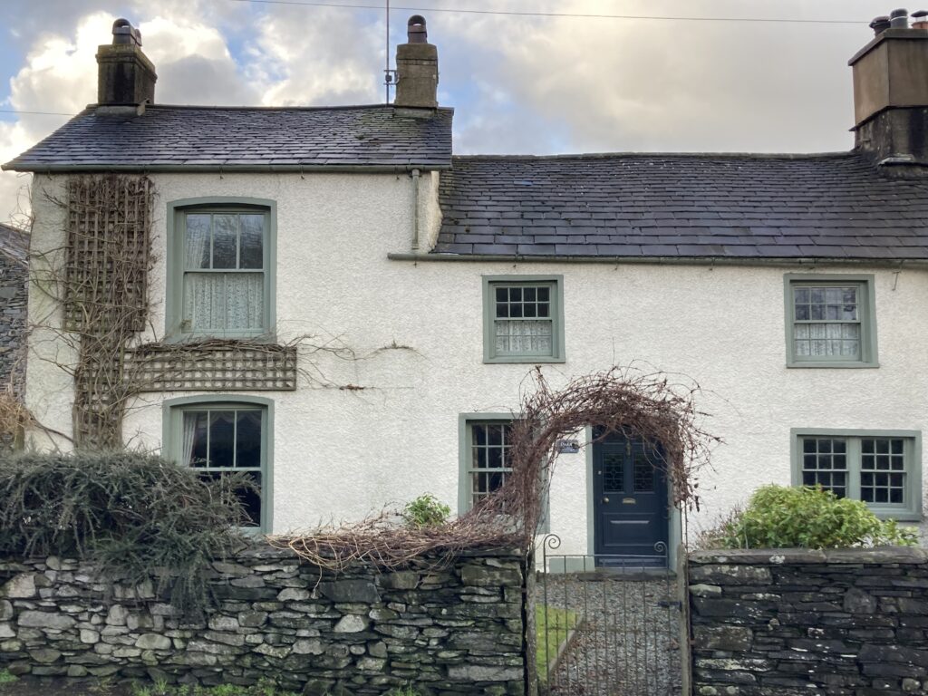
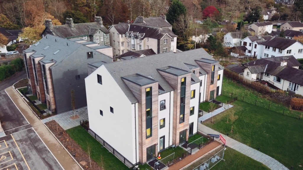
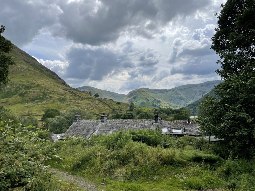
All new streets must be allocated to a typology in the street hierarchy, as set out in the photos and their captions.
All developments must contribute towards the successful design and function of streets.
A clear street hierarchy helps to create navigable and character-led settlements.
Where new streets are not created, schemes should be aware of the street typology they adjoin. This will ensure the appropriate design of the street frontage in terms of intended character, scale and function.
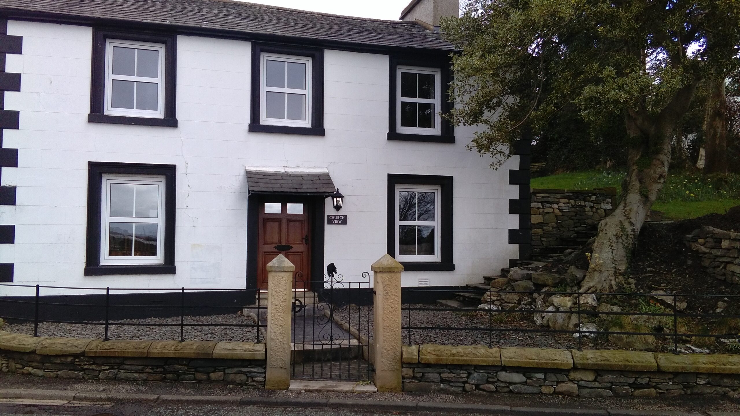
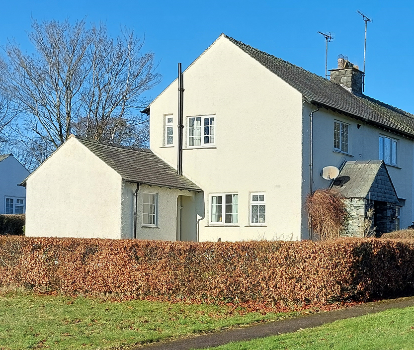
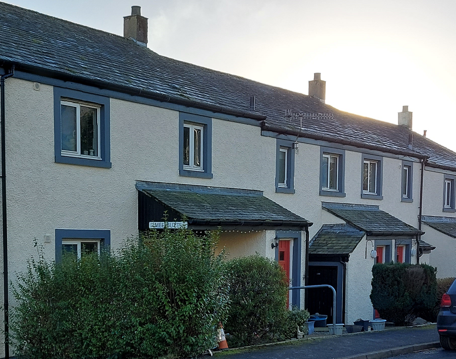
All new housing development should respond to the fundamental character of the street in which they are located and the position it occupies within the street hierarchy.


When designing new streets, applicants must refer to relevant guidance and best practice, including Manual for Streets, Manual for Streets 2, Inclusive Mobility and Streets for All.
Development that is subject to this code will not be creating new Primary or Secondary Streets or High Streets. However, any new development that adjoins these streets must be aware of how to appropriately respond to and make connections with these public spaces. The following guidance for local streets should be considered when designing housing developments:
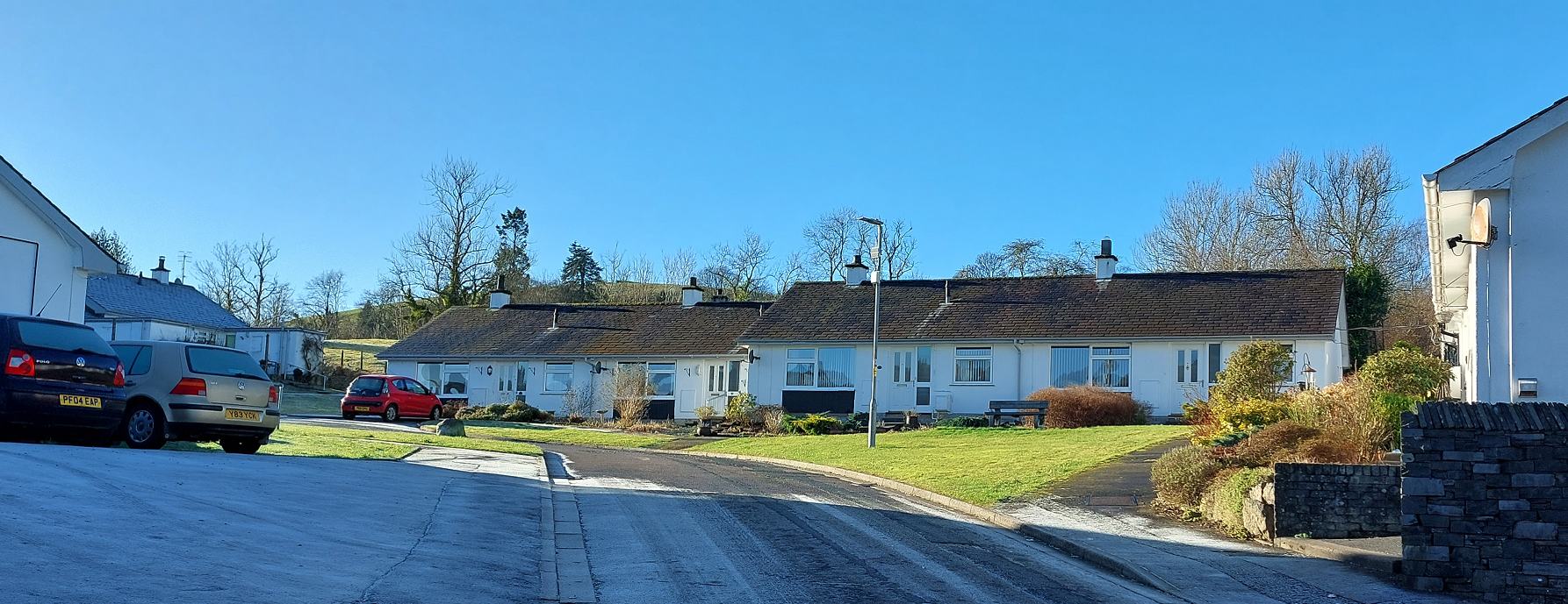
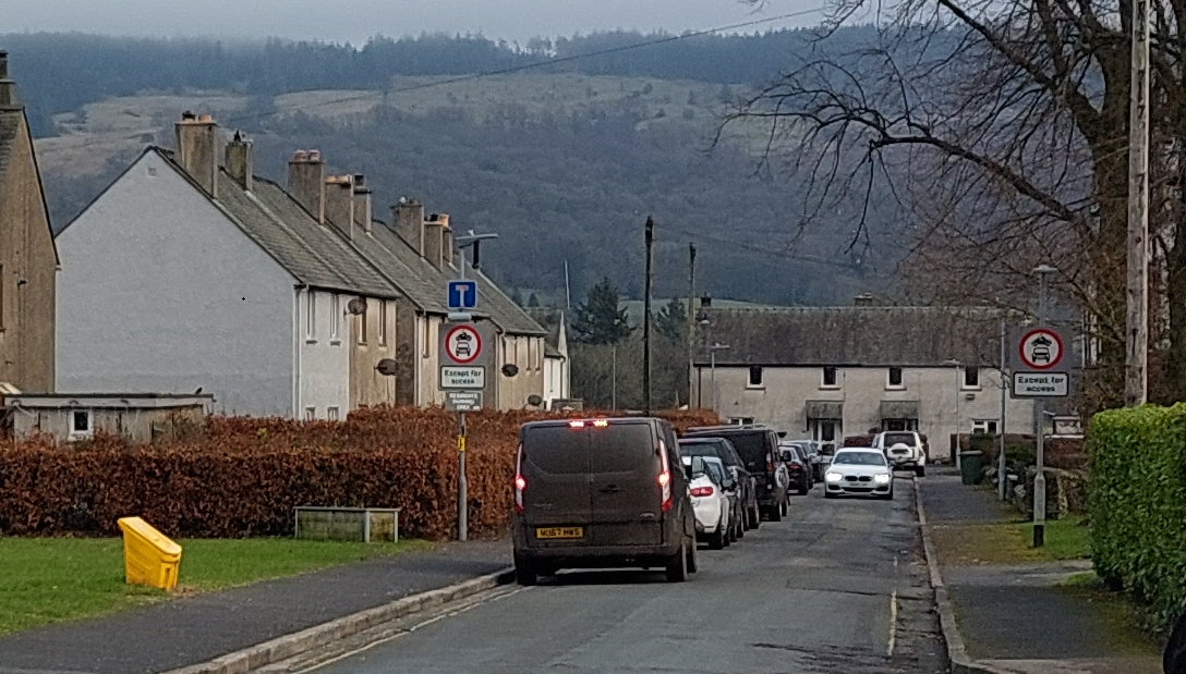
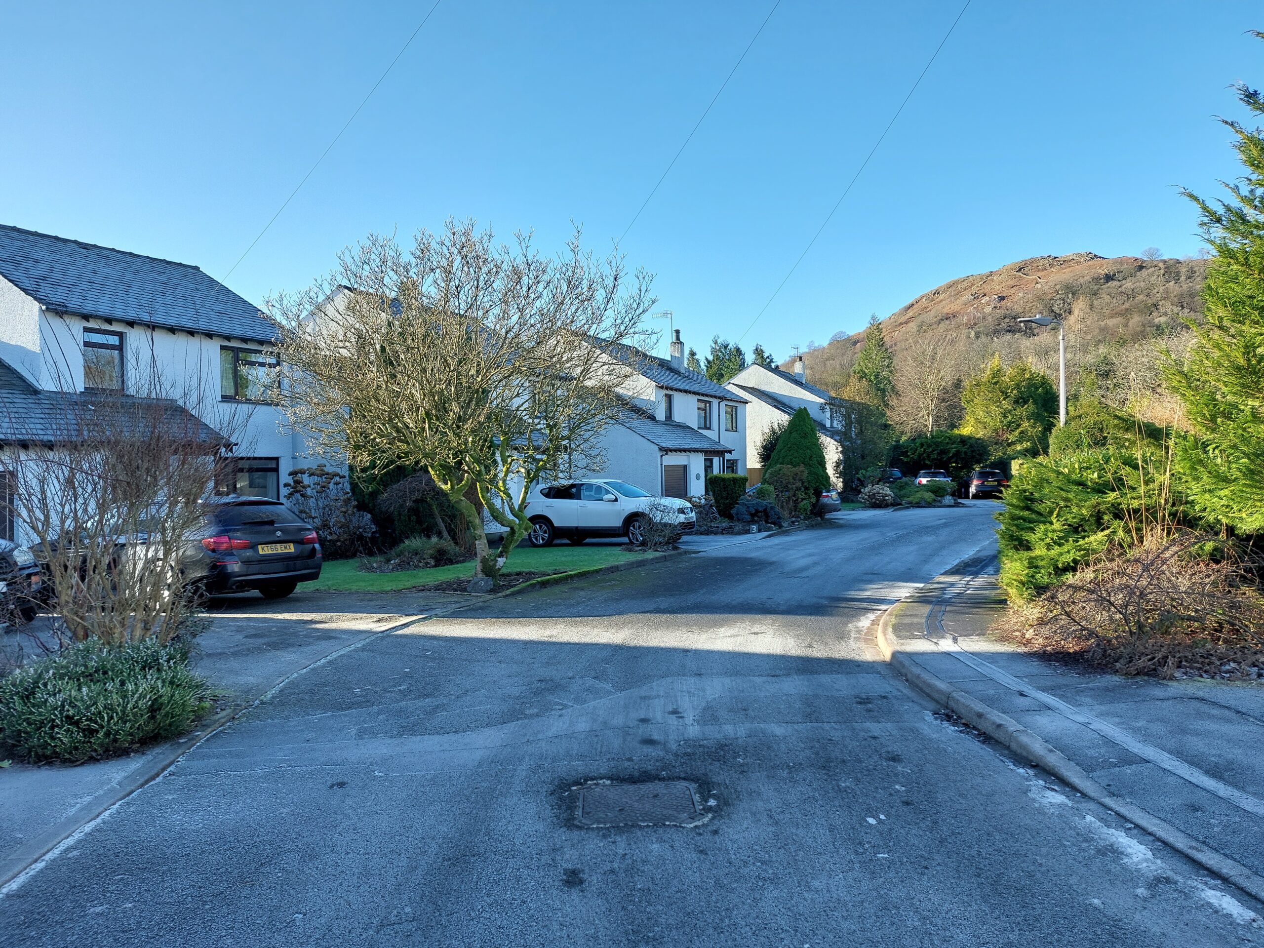
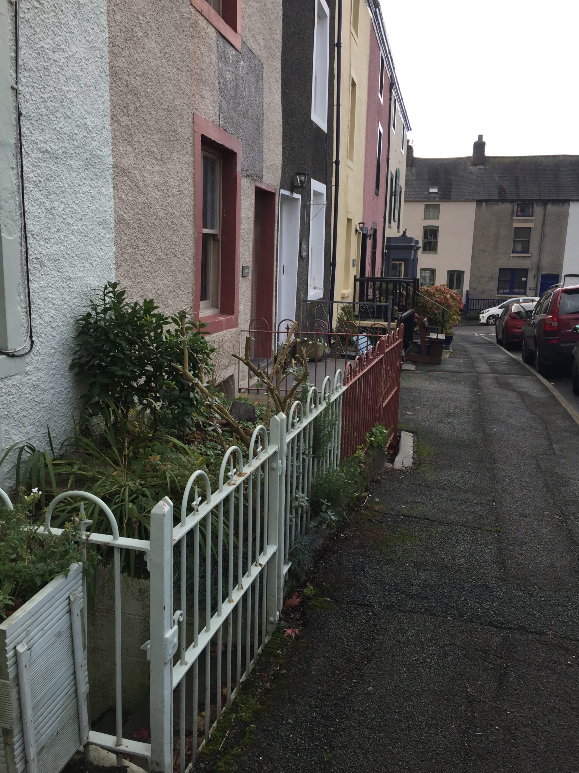
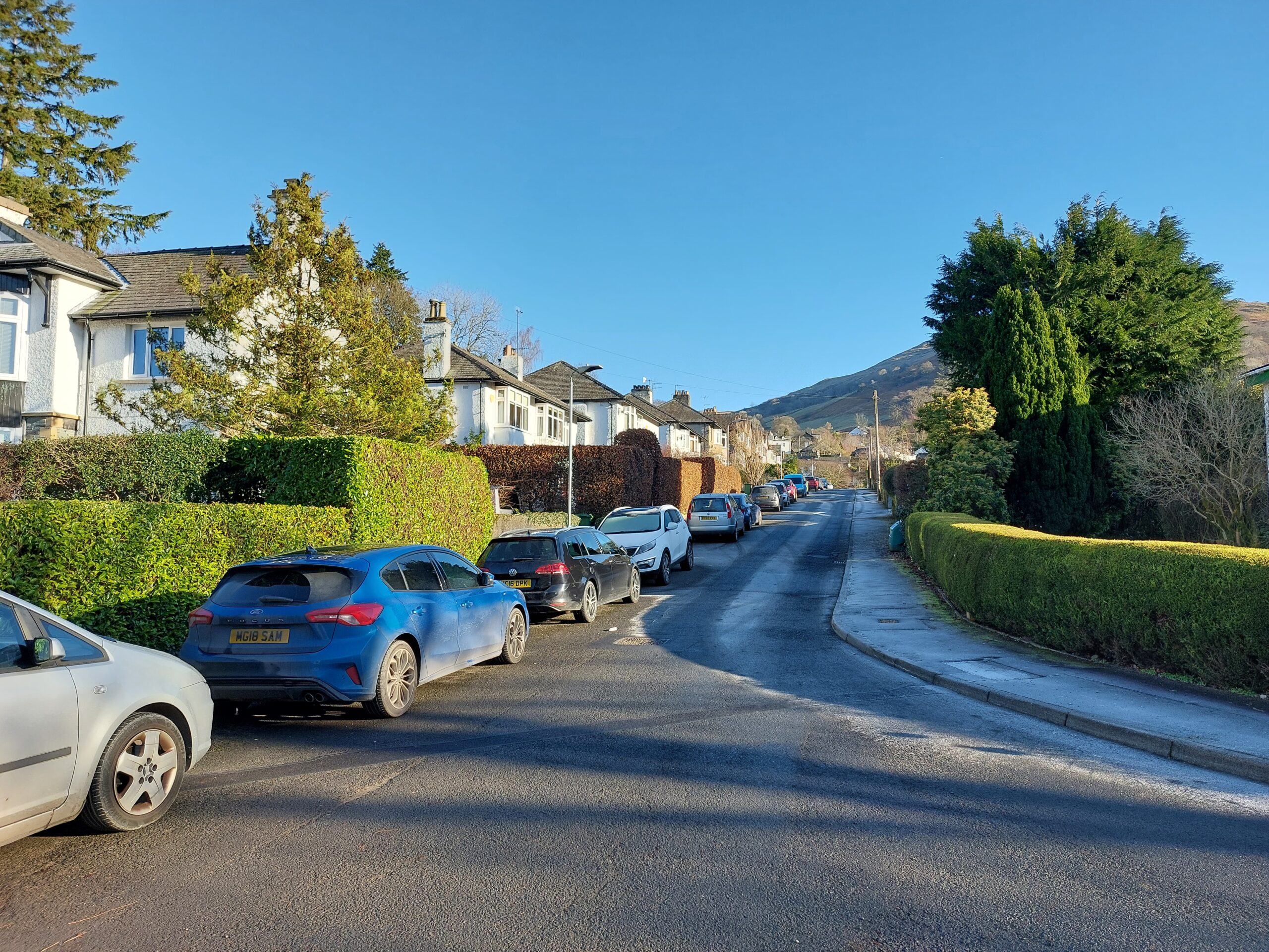
Residential streets
- Road markings and signage must be kept to a minimum.
- Buildings must front onto the street and should take their main access from it.
- Streets must be designed to encourage low speeds through the use of informal traffic calming such as raised tables and kerb build outs, as well as green infrastructure including tree pits and SuDS.
- Streets should be designed to allow for informal surveillance of the street.
- Streets should include some provisions for on street parking, utilising tree planting and green infrastructure for informally defining spaces.
- Streets should include opportunities for social interactions, including seating and informal rest areas.
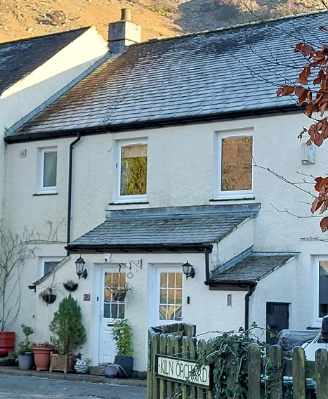
- Where new development occupies a corner plot, active frontages must be delivered on both sides of the street. Blank facades must be avoided.
- Where present within local architectural styles, bay windows, oriel windows and porches can also be used to animate the street frontage and create a more welcoming street scene.
- Set back zones, no matter the size, must be green and contribute towards the sustainable drainage of water.
- The use of pedestrian gates that align with front doors is highly encouraged, where front gardens are present.
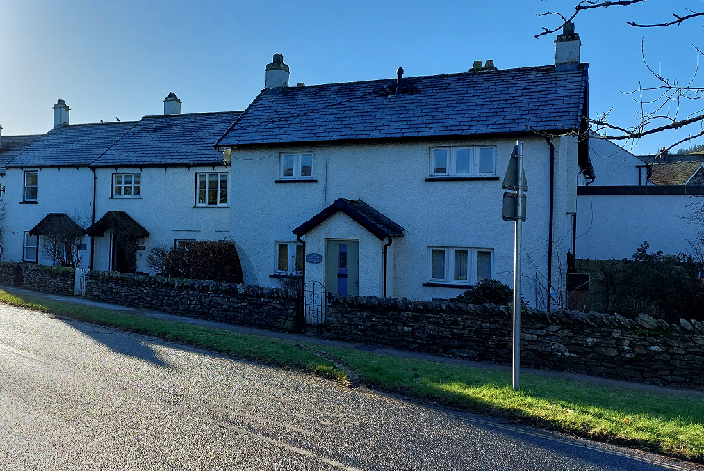
- Where dwellings traditionally front directly onto the footway, it may be appropriate to reflect this arrangement within new development. However, the integration of some ‘defensible’ green space must be considered.
- Where dwellings traditionally front onto the carriageway at an assortment of angles, it may be appropriate to reflect this arrangement within new development. However, best practice must be adhered to, for example avoiding blank facades.
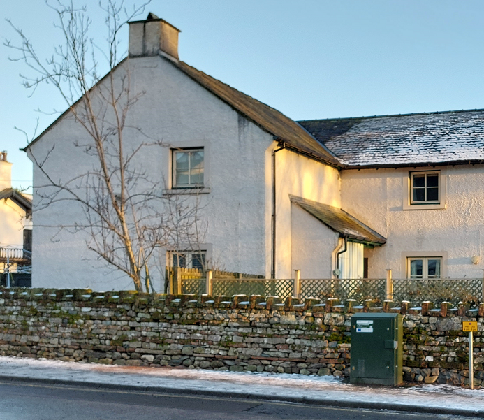
- New development must avoid overly urbanised gates and boundary treatments. Soft boundaries, such as hedges, and dry stone walls will be favoured.
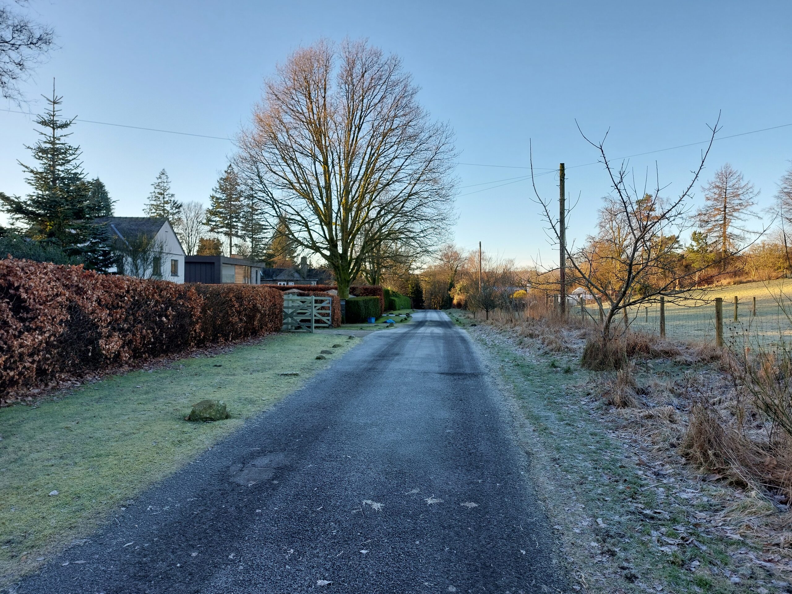
- Cul-de-sacs should only be used where through streets are not possible. They should ideally serve a small number of houses.
- Vehicular turning heads should not be overly engineered and be as small as possible, whilst providing sufficient turning space for emergency vehicles, refuse lorries and deliveries.
- The use of turning loops incorporated with green space should be explored as alternatives to ‘lollipop’ or ‘T’ turning heads.
- Unnecessary kerbing, particularly of soft verges, should be avoided, whilst ensuring new GI is protected from vehicle encroachment.
Mews
- Short rows of mews can be appropriate where densities are high in the historic core and where short terraces of houses are common featured.
- Mews offer opportunities for intimate shared spaces. Therefore, domination by car parking should be avoided. Careful spacing and siting of trees and street furniture should be used to demarcate where is appropriate for car parking and where is not.
- Typically, mews do not exhibit any set back, however, encouraging the greening of the street through raised beds and planters outside houses can help to blend the interface between public and private.
- Electric Vehicle (EV) charging should be incorporated into the side of buildings adjacent to designated parking spaces.
- Mews streets are a form of shared space and therefore should follow best practice guidance for designing inclusive streets, including the Department of Transport’s guidance, Inclusive Mobility: A Guide to Best Practice on Access to Pedestrian and Transport Infrastructure.
Shared streets
- Shared streets can be an excellent placemaking tool for creating characterful, sociable and attractive streets. However, careful and attentive design must be applied to ensure these streets are navigable and inclusive for all, including those with visual or cognitive impairments.
- The justification for including shared surfaces within a development must be robust and all concerns relating to impaired users addressed through strong design choices.
- Surface treatments relate to the street’s surrounding urban, suburban or rural character.
- Shared streets utilise a varied palette of textures and colours to demarcate carriageway space to ensure navigability for those with dementia or visual impairments.
- Shared streets incorporate ‘comfort space’ into their designs which discourages vehicular access and therefore allows pedestrians to choose whether to mix with traffic or not.
- Vehicle speeds are reduced prior to entering the shared space.
- Streets include appropriate tree planting and green infrastructure to alter driver behaviours and speeds without the need for signage or engineering.
- Space should be created for some car movement and occasional on street parking.
- Careful spacing and siting of trees, SuDS and street furniture should be used to demarcate where is appropriate for car parking and where is not.
- Opportunities for seating, informal green space and rest areas can be incorporated into street design.
- Electric Vehicle (EV) charging must be incorporated into the street scene.
- Shared streets will need to ensure they align with the Department of Transport’s guidance, Inclusive Mobility: A Guide to Best Practice on Access to Pedestrian and Transport Infrastructure, as well as Chapter 7 in Manual for Streets and section 2.9 in Manual for Streets 2.
Courtyards and shared driveways
- All courtyards and shared driveways must be overlooked by surrounding properties.
- Main accesses to properties should stem from the courtyard or shared driveway.
- Painted line markings must be avoided. Variations in materials, metal studs and setts should be utilised to define parking spaces.
- Where appropriate, parking spaces should be unallocated to particular properties to help create greater capacity. Where allocations are deemed to be necessary, painted numbering must not be used. The use of small, numbered plaques or signs can be explored.
- EV parking must be incorporated into all new courtyards and shared driveways.
- Opportunities to include incidental green and play spaces should be explored within all new courtyards and shared driveways, including community gardens and growing spaces. Siting of this should be away from overly shaded areas.
- Designs of courtyards and shared driveways should be conscious that these public spaces are generally not adopted and therefore ongoing maintenance will need to be provided for by residents.
Secured by design
The design of spaces, highways and routes must enable different highway users, such as pedestrians, cyclists and motorists to be able to see each other, offering passive surveillance of these highways and routes. This includes landscaping and how green landscaping, and trees will grow and impact visibility over time. Where possible, the ground levels and topography of the site should be exploited to promote passive surveillance and overlooking of streets and public spaces.
Existing rights of way should also be incorporated into new development in a manner that promotes overlooking and passive surveillance.
Where there is street lighting in a settlement, routes and spaces must be well lit to improve safety and reduce fear of crime at night. The light sources and structures must be designed into the street or spaces in a non-intrusive way, and to avoid light pollution and protect the Lake District’s dark skies. Lighting, where required, must be designed to appropriate levels to provide the right level of light, at the right time, in the right place. Further guidance can be found in the ILP Guidance Notes.
The layout of new housing development should avoid siting private rear gardens or other highly enclosed spaces (such as service yards) directly adjoining the highway or public realm. This runs counter to the principle of passive surveillance, exposes private spaces to potential trespass, and creates uninviting streets.
Shared driveways should include features such as gateway indicators, low boundary features or changes in landscaping or surfacing materials that subtly indicate the change from public space to shared private space.
Developers should consult with the Police Crime Prevention Officer for site specific design advice prior to application stage.
Meeting places
Streets and public meeting places, no matter the scale, play an important role in enabling social interactions and enhancing a place’s sense of community.
All development of 5 dwellings or more must provide a formal or informal meeting place at a focal point within the scheme.
New meeting places must be multi-generational in their designs, for example, including large stone boulders for children to climb on, informal tree stump seats for young adults to meet at, and formal seating for guardians to supervise children and older generations to converse.
Meeting places must occupy a focal point within any new development to ensure good natural surveillance and use by residents.
Where possible, the scale of new meeting spaces is sufficient for hosting small-scale community events.
New development adjoining an existing meeting space, must provide an active frontage with good natural surveillance.
New development must not obstruct or screen important views and vistas that are afforded from the meeting place.
Movement
Cumbria County Council’s Cumbria Development Design Guide sets out the local-level principal source of guidance on the design of highways, including footways and cycleways, in the Lake District. It was most recently updated in January 2023. The Design Guide and its appendices contain many specific aspects of highway design and connecting places. This Design Code has re-iterated some of the key areas of this guidance that relates to the types of development covered by this Design Code.
Street network
Smaller schemes or infill sites (fewer than 5 houses) should:
- Connect with the wider street network and existing access points;
- Understand and incorporate natural movement and desire lines;
- Deliver convenient walking and cycling access through the site that is equally, if not more direct than driving;
- Connect with and enhance access to any existing public rights of way or cycle routes;
- Offer direct and safe connections to existing streets, amenities and destinations;
- Where possible, enhance connections through existing development and minimise the use of cul-de-sacs; and
- Ensure passive surveillance by surrounding properties.
Applicants should look to Chapter 4 in Manual for Streets and Building a Healthy Life for more detail on how to achieve connected and permeable streets.
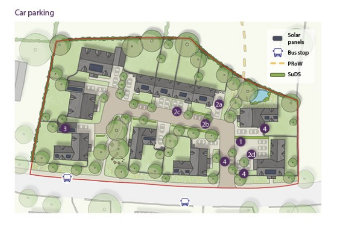
This Code outlines slightly different guidance for housing developments of more than five units and fewer than five units. For more than five units the following illustration shows what schemes can achieve.
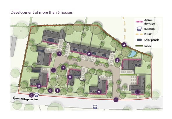
Schemes of 5 dwellings or more should:
- Connect with the wider street network and existing access points, ideally linking at either end to other streets.
- Understand and respond to natural desire lines.
- Deliver walking and cycling routes that are equally, if not more, direct than driving.
- Connect with and enhance access to any existing footpaths or cycle routes.
- Provide variety and choice, both in terms of routes and modes of travel.
- Offer direct and safe connections to existing streets, amenities and destinations.
- Avoid unnecessary cul-de-sacs, these should only be found at the tertiary level of street type.
- Ensure passive surveillance by surrounding properties.
- Have more than one pedestrian / cyclist access point, and where possible have more than one vehicular access point.
New streets need to take cues from how topography is addressed on streets within the surrounding area to ensure the scheme integrates with the existing settlement. Where open and attractive views are afforded from a development site, the sloping topography can be used to celebrate those views.
Streets are useful tools for framing views and, similarly, their orientation should take cues from the surrounding area.
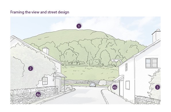
- Streets are useful tools for framing views and, similarly, their orientation is to take cues from the surrounding area
- Private gardens should utilise mature shrub and tree species to create visual interest, year-round structure and wildlife refuge.
- Native species, ideally of local provenance, will be favoured over non-native species due to their role in reinforcing the Lake District’s unique landscape character and providing for local wildlife (see section N.3.iii Street Trees for examples of suitable species).
- Where boundary features are required to plots and/or sites, the following types of boundary features are to be used:
4a. Drystone walls and retaining walls
4b. Hedges and hedgerows
- Coppicing
- Timber picket or vertical board fences
- Metal railing


Walking and cycling
Code
Proposals must adhere to the following street user hierarchy, and refer to Chapter 3 in Manual for Streets when applying it:
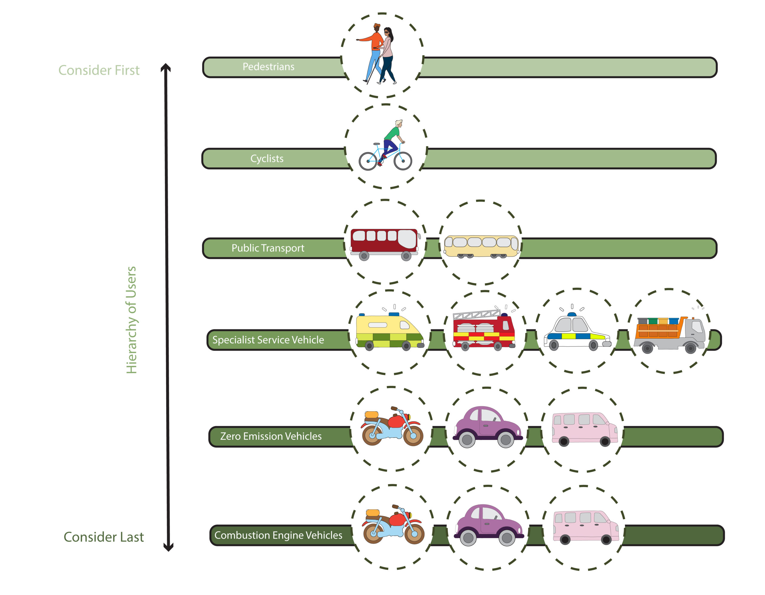
To promote active forms of travel, new development should:
- Open up desire lines and create more direct and convenient routes for those travelling by foot, mobility aid or bike;
- Create good sightlines and a sense of natural surveillance for users;
- Link with existing pedestrian and cycle crossings;
- Ensure appropriate space is given to those walking or cycling (at least two abreast), without needing to unduly navigate parked cars or street furniture; and
- Ensure pedestrian and cycle infrastructure is pleasant to use.
All developments of 5 – 25 dwellings are also encouraged to deliver:
- Off-road alternatives for those travelling by foot or bike; and
- Landmark features, such as trees or public art, that help users navigate the hierarchy of movement
Where sites adjoin or host a public right of way, it must be respected or incorporated as part of the scheme’s design.
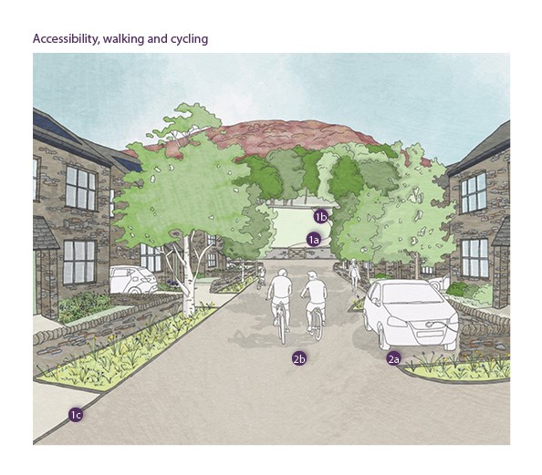
To achieve accessibility, development must:
1. Avoid unnecessary barriers to movement for those with impaired mobility.
1a. Avoid steep hills and ensure routes follow contours. If this contradicts desire lines, provide a choice of accessible and energetic routes.
1b. Reduce the use of steps where possible.
1c. Avoid unnecessary kerbs.
2. Ensure sufficient space is maintained for those who do not travel just by foot, including pushchairs, wheelchairs and mobility scooters, as well as bicycles.
2a. Deter vehicles from parking on footways or cycle paths.
2b. Ensure street furniture and trees do not impede easy movement of those with impaired mobility.
-
- Where streets are not shared, ensure at least 1.2m of pavement is provided (more detail on the composition of different street typologies to be provided in the Public Space section)
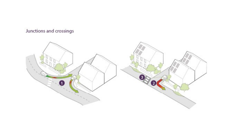
Junctions and crossings
Code
The design of junctions must reflect the typology of streets they are meeting. In all cases, they must prioritise pedestrians and cyclists. They must also contribute positively towards changes in drivers’ behaviour when transferring from one road typology to another, without the need for excessive signage.
Junctions must avoid overly engineered features or overly wide radii that contribute towards a vehicle-dominated character, particularly within rural locations.
Roundabouts or mini-roundabouts will not be accepted unless in exceptional circumstances.
All new development must contribute towards enhancing pedestrian crossing experiences if they transcend a desire line, for example, providing dropped kerbs or raised tables at all junctions with appropriate tactile paving.
Junctions and private driveways must avoid overly engineered features or overly wide radii that contribute towards a highways-dominated character, particularly within rural locations.
Private driveways must meet the back of the footway at a right angle.
Roads should meet as close to a right angle as possible.
Where appropriate, the additional space created by the use of tighter radii can be used to deliver green gateways into new streets or development.
If a new development of 5 dwellings or more adjoins a primary street or high street and relates to a natural desire line for pedestrians and cyclists, a formal crossing should be implemented. The type of crossing will depend on the context of the setting, i.e., town centre or rural fringes, and the safety considerations relating to road speeds.
Where new developments of 5 to 25 dwellings adjoin secondary streets or local streets and relate to a natural desire line for pedestrians and cyclists, the need or benefit of implementing a formal or informal crossing should be assessed. In some cases, traffic calming measures to slow vehicle speeds can be a suitable alternative to a crossing.
Over-engineering, signage and line markings should be kept to a minimum, whilst ensuring crossings are safe and tactile for all users.
Signalised crossings will only be used when other highway design measures provide an insufficient level of safety.
When designing new crossings, the following guidance and regulations will need to be adhered to:
- The Cumbria Development Design Guide;
- Manual for Streets, in particular Section 6.3;
- Manual for Streets 2, in particular Section 9.3;
- The Assessment of Pedestrian Crossings, Local Transport Note 1/95;
- The Design of Pedestrian Crossings, Local Transport Note 2/95; and
- The Zebra, Pelican and Puffin Pedestrian Crossings Regulations and General Directions, 1997.
Code
The design of junctions must reflect the typology of streets that are meeting. In all cases, they must explore how pedestrians and cyclists can be prioritised. They must also contribute positively towards changes in drivers’ behaviour when transferring from one road typology to another, without the need for excessive signage.
- Junctions must avoid overly engineered features or overly wide radii that contribute towards a vehicle-dominated character, particularly within rural locations. Roundabouts or mini-roundabouts will not be accepted unless in exceptional circumstances.
- Roads should meet as close to a right angle as possible. Where appropriate, the additional space created by the use of tighter radii can be used to deliver green gateways into new streets or development.
- All new development must contribute towards enhancing pedestrian crossing experiences if they transcend a desire line, for example, providing dropped kerbs or raised tables at all junctions with appropriate tactile paving.
- Junctions and private driveways must avoid overly engineered features or overly wide radii that contribute towards a highways-dominated character, particularly within rural locations.
- Private driveways must meet the back of the footway at a right angle.
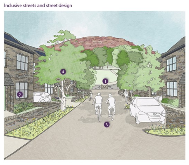
Inclusive streets
Principles of inclusive design must apply to all street types and public spaces in new housing developments. To achieve accessibility, new housing development should:
- Avoid unnecessary barriers to movement for those with impaired mobility.
- Avoid steep hills and ensure routes follow contours. If this contradicts desire lines, provide a choice of accessible and energetic routes.
- Reduce the use of steps.
- Avoid unnecessary kerbs.
- Ensure sufficient space is maintained for those who do not travel just by foot, including pushchairs, wheelchairs and mobility scooters, as well as bicycles.
- Where streets are not shared, ensure at least 1.2m of pavement is provided.
- Deter vehicles from parking on footways or cycle paths.
- Ensure street furniture and trees do not impede easy movement of those with impaired mobility.
- Create spaces that are navigable and safe for those with visual impairments by using tactile materials as opposed to line markings, and providing sufficient street lighting.
- Provide features within shared surface schemes to ensure they are safe and navigable for those with visual impairments.
- Utilise contrasting colours and textures to demarcate carriageways.
- Locate street furniture, lighting and street trees to distinguish between vehicle and pedestrian space, without creating clutter or barriers to movement.
- Create dementia-friendly environments.
- Provide direct and safe walking routes to shops or other local facilities.
- Offer opportunities for social interactions on the street, for example doorstep green spaces and seating areas.
- Ensure clear sightlines are provided.
- Introduce signage and landmarks where feasible, such as public art and mature trees, at decision points.
- Offer opportunities for rest and social interactions.
- Offer opportunities for doorstep play and natural surveillance from surrounding properties.
- Create places that are welcoming and contribute towards a perception of safety.
- Ensure natural surveillance is provided along all streets.
- Ensure all streets are appropriately lit and do not create dark corners.
- Avoid dead ends.
- Provide direct links with pedestrian crossings.
All new streets and public spaces will need to adhere to the Department of Transport’s guidance on Inclusive Mobility: A Guide to Best Practice on Access to Pedestrian and Transport Infrastructure.

1. Create spaces that are navigable and safe for those with visual impairments.
1a. Utilise tactile materials as opposed to line markings.
1b. Provide sufficient street lighting.
2. Provide features within shared surface schemes to ensure they are safe and navigable for those with visual impairments.
2a.Utilise contrasting colours and textures to demarcate carriageways.
2b. Locate street furniture, lighting and street trees to distinguish between vehicle and pedestrian space, without creating clutter or barriers to movement
3. Create dementia-friendly environments.
3a. Provide direct and safe walking routes to shops or other local facilities.
3b. Offer opportunities for social interactions on the street, for example doorstep green spaces and seating areas.
3c. Introduce signage and landmarks where feasible, such as public art and mature trees, at decision points.
- Ensure clear sightlines are provided.
4. Offer opportunities for rest and social interactions.
5. Offer opportunities for doorstep play and natural surveillance from surrounding properties.
6. Create places that are welcoming and contribute towards a perception of safety.
6a. Ensure natural surveillance is provided along all streets.
6b. Ensure all streets are appropriately lit and do not create dark corners.
- Avoid dead ends where possible.
- Provide direct links with pedestrian crossings.
To promote active forms of travel, new development should:
- Open up desire lines and create more direct and convenient routes for those travelling by foot, mobility aid or bike.
- Create good sightlines and a sense of natural surveillance for users.
- Ensure appropriate space is given to those walking or cycling (at least two abreast), without needing to unduly navigate parked cars or street furniture
- Create an attractive and green experience for users.
- Link with existing pedestrian and cycle crossings.
Car parking
Code
1. Car parking spaces must be within 50m of the dwellings they serve. Accessible, adaptable and wheelchair user dwellings should have at least one in-curtilage parking space.
2. The siting of car parking spaces serving dwellings must be:
2a. To the sides of dwellings as the first instance.
2b. If not, as on-street parking, especially if parked cars help to calm car speeds.
2c. If not, in front of dwellings.
2d. If not, in communal parking areas serving more than one dwelling.
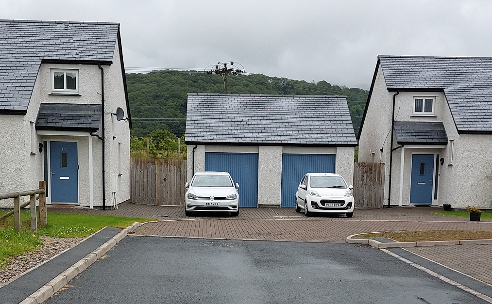
3. Parking spaces covered by roofed structures or car ports or within garages must be to the sides of dwellings. These covered parking areas should have at least 2.6m headroom.
4. New development must make suitable provision for electric vehicle charging points, including providing charging points for in-curtilage parking spaces, and charging points in new areas of on street or communal parking.
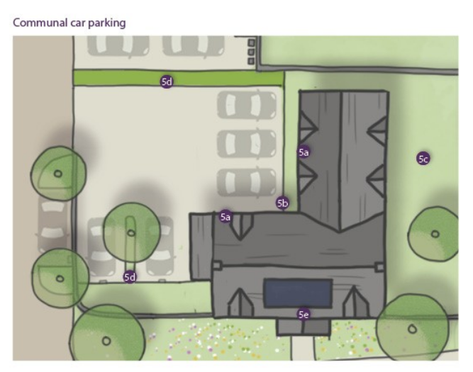
5. Communal parking areas serving more than one house must:
5a. Be well overlooked by the dwellings they serve.
5b. Provide convenient access to the dwellings they serve.
5c. Improve amenity by enabling more of the site to be used for green open space, tree cover, space for play or gardens than otherwise.
5d. Have suitable hard or soft landscaped immediate surroundings. Communal parking must not detract from the townscape or landscape quality of its surroundings, especially in smaller settlements and adjoining countryside.
Where the above criteria are met, communal car parking must be prioritised over providing dispersed car parking.
- In built bike racks should be delivered within any building which has garages / car ports.
- Storage needs to be secure with access for residents only. Well located (close to the building entrance) and covered.
- Storage that is internal or integral to the building is recommended as a means of reducing clutter and making cycle travel more convenient.
- Cycle racks and stands allow both the frame and one wheel to be secured.
Services and utilities
Code
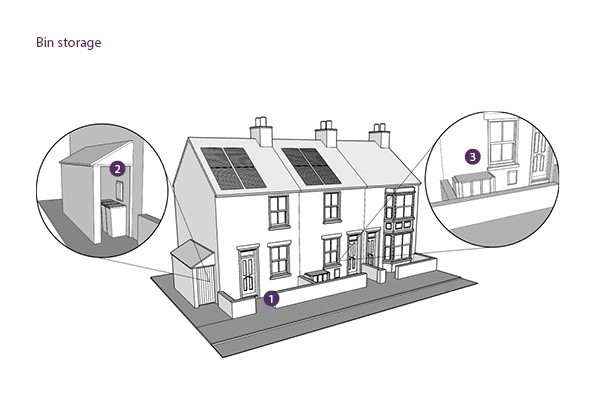
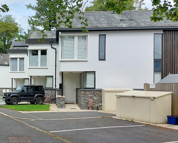
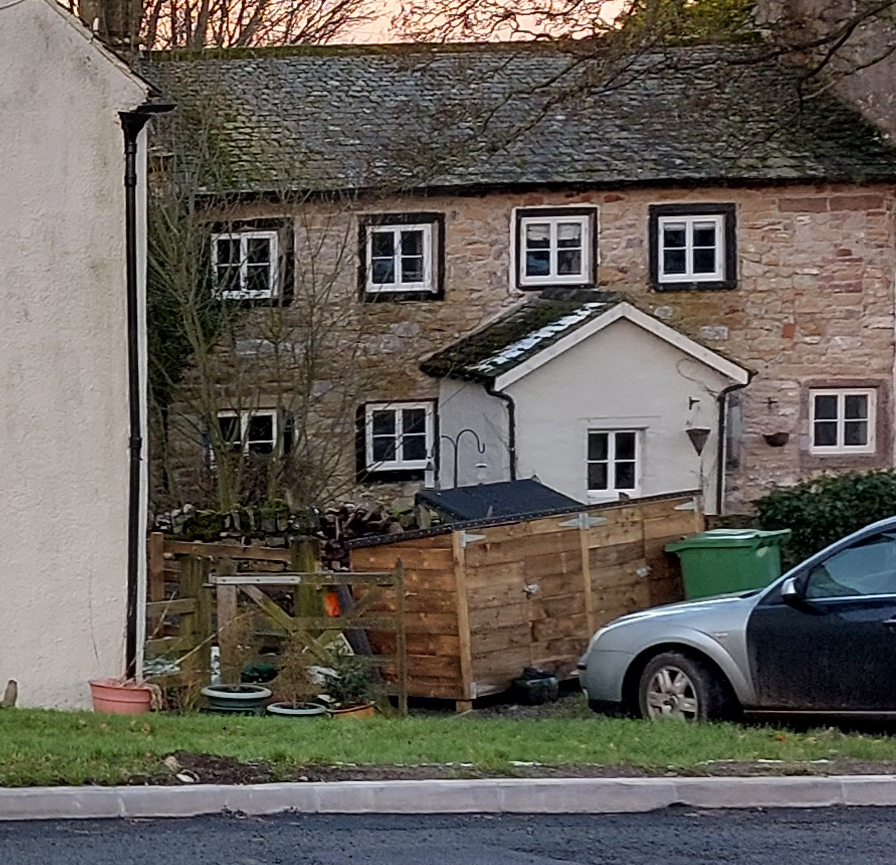
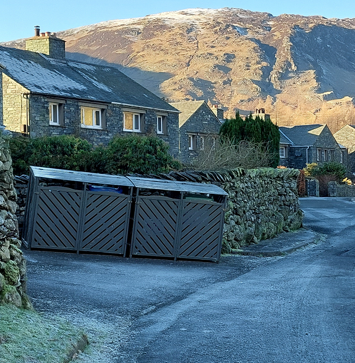
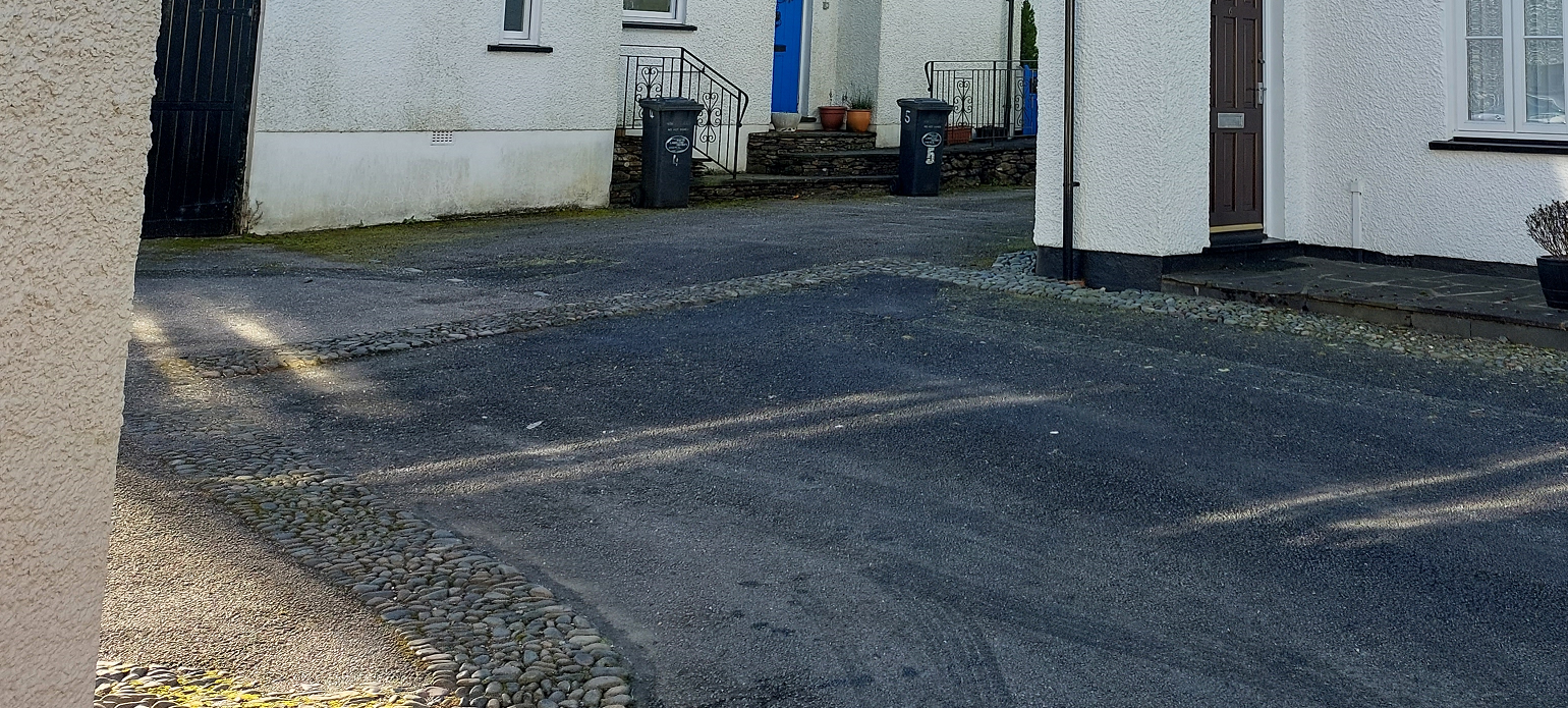
Refuse storage will be carefully integrated into all new development to ensure its easy use, whilst also reducing its impact on the street scene.
All bin stores must accommodate the bins, bags and/or boxes supplied by the local authority.
Covered bin stores which utilise green technology, for example green roofs and walls could be explored, as well as stores made of natural and context-appropriate materials, such as timber, slate and stone.
- Refuse storage is to be carefully integrated into all new development to ensure its easy use, whilst also reducing its impact on the street scene.
- All bin stores are to accommodate the bins, bags and/or boxes supplied by the local authority.
- Covered bin stores which utilise green technology, for example green roofs and walls could be explored, as well as stores made of natural and context-appropriate materials, such as timber, slate and stone.
- The cabinets and boxes for gas meters and other utilities should be conveniently but discretely located so that they do not clutter elevations.
Servicing: bin collection
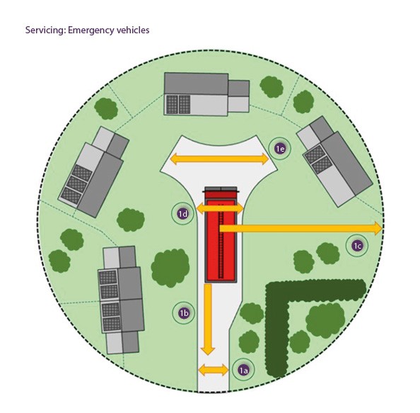
2. The access requirements of refuse vehicles are as follows:
2a. A turning area should be provided if it is a terminating street over 45m in length.
2b. The maximum safe distance a vehicle can reverse is 12m.
2c. Two wheeled bins must be at most 15m away from where the vehicle can stop to empty them.
2d. Residents should move their bin a maximum of 30m to the collection point.

