Code
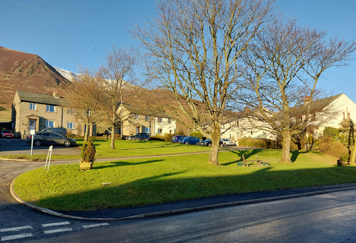
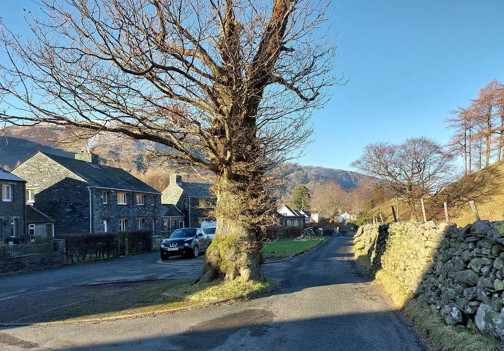
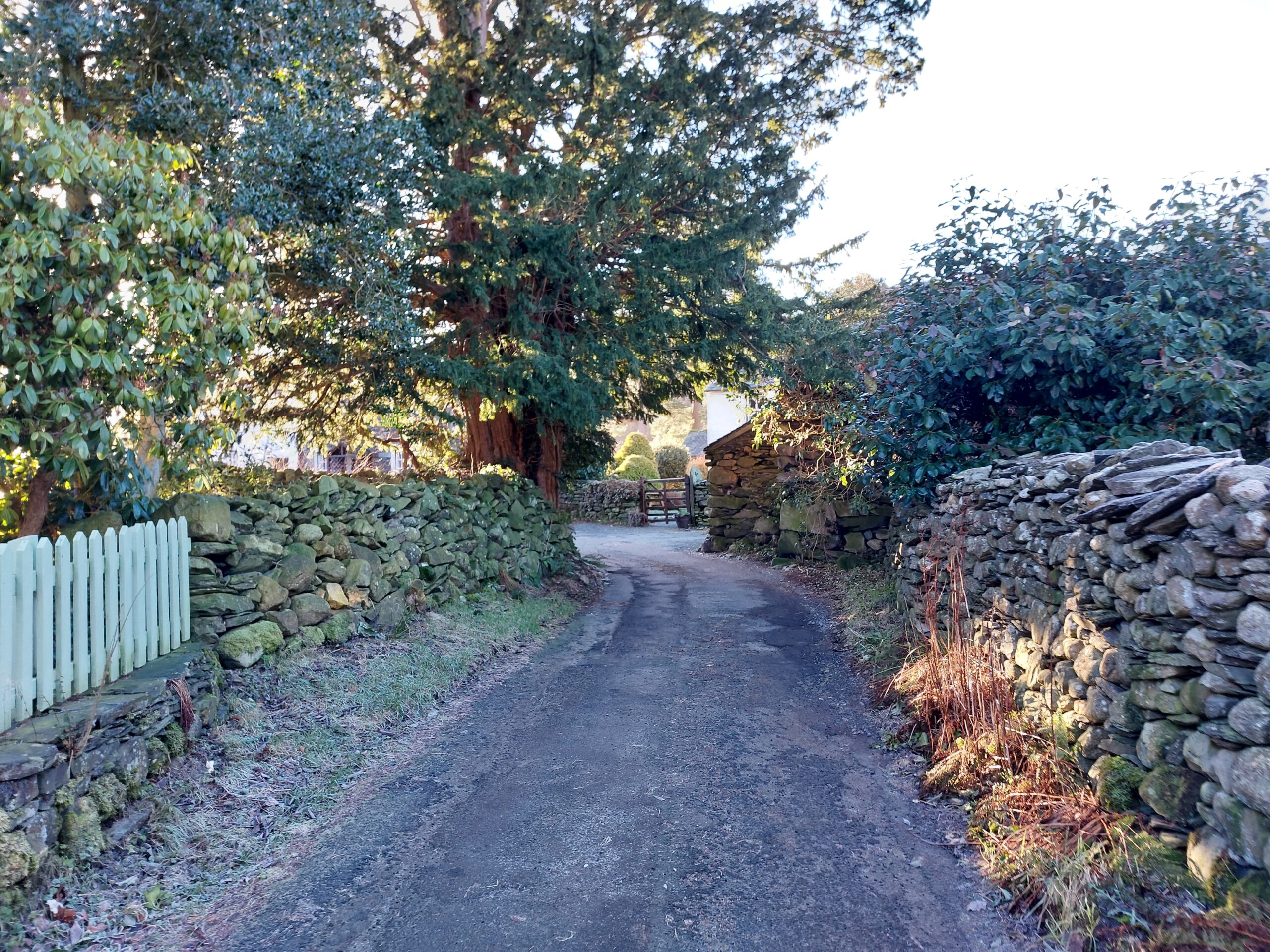
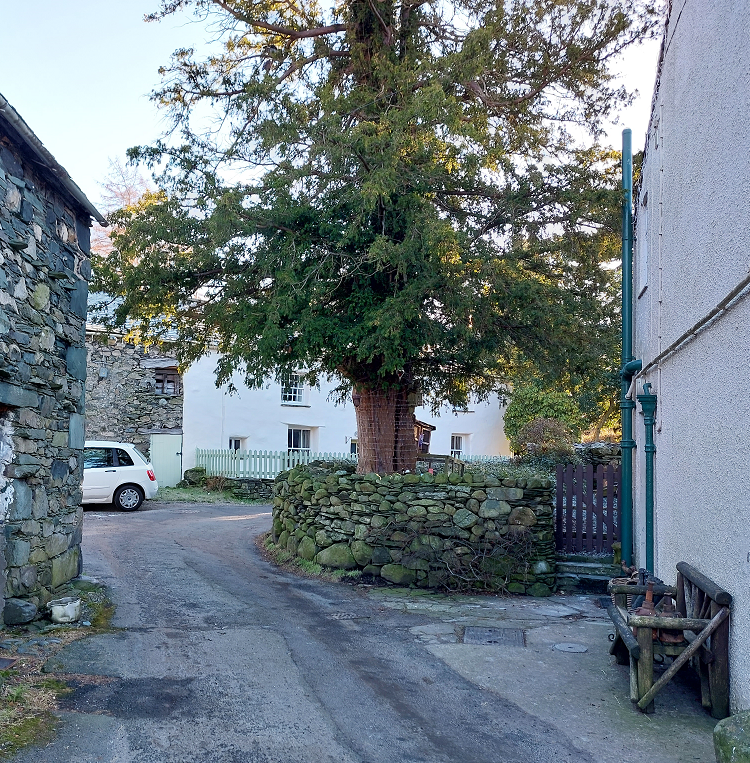
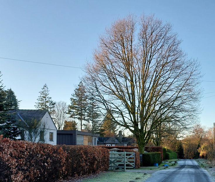
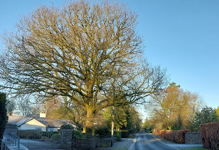
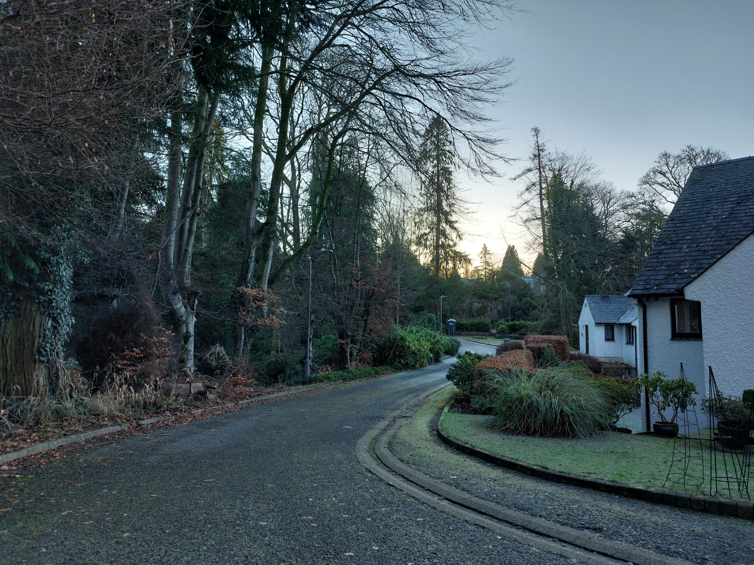
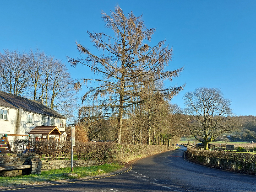
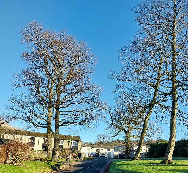
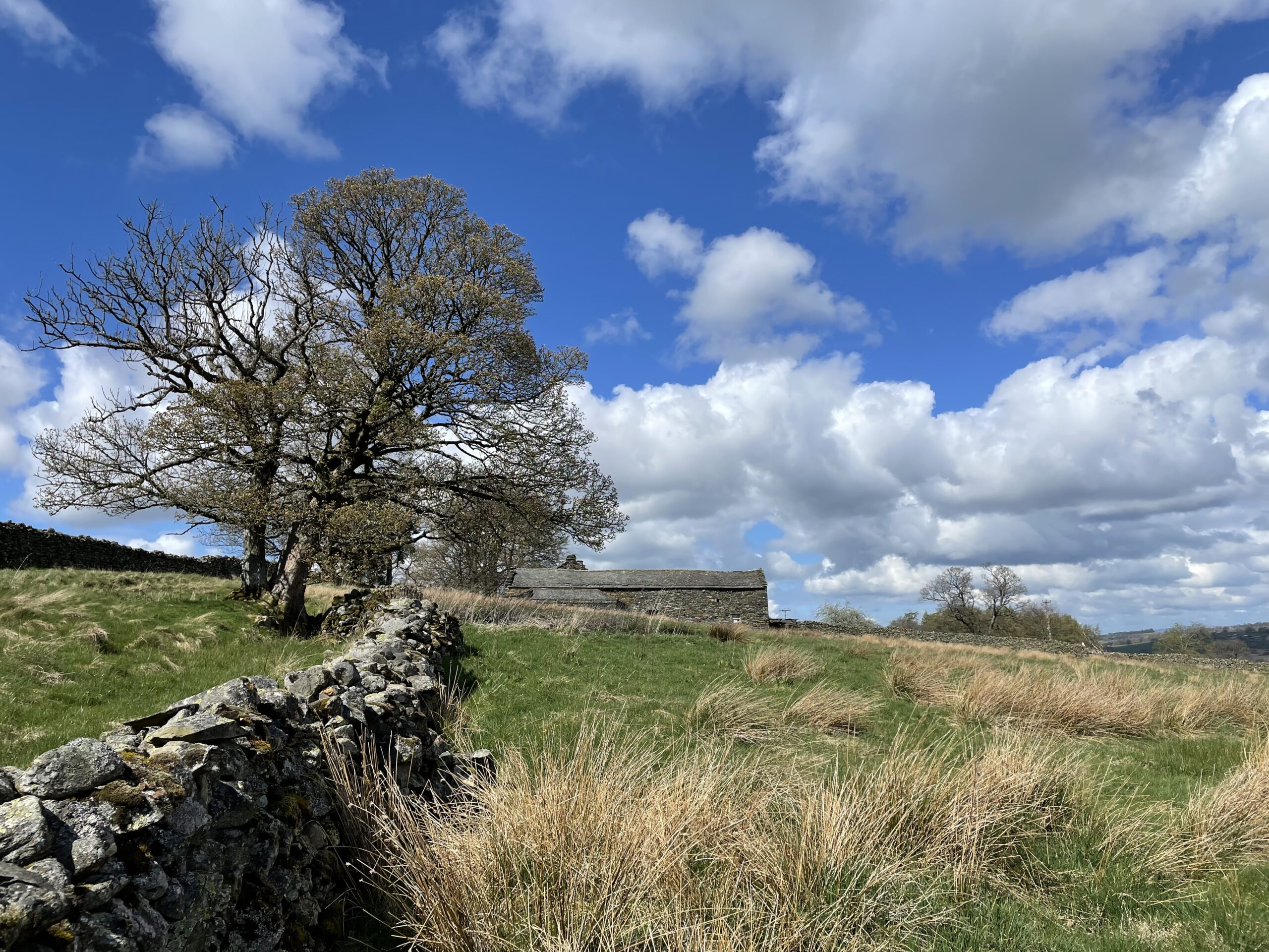
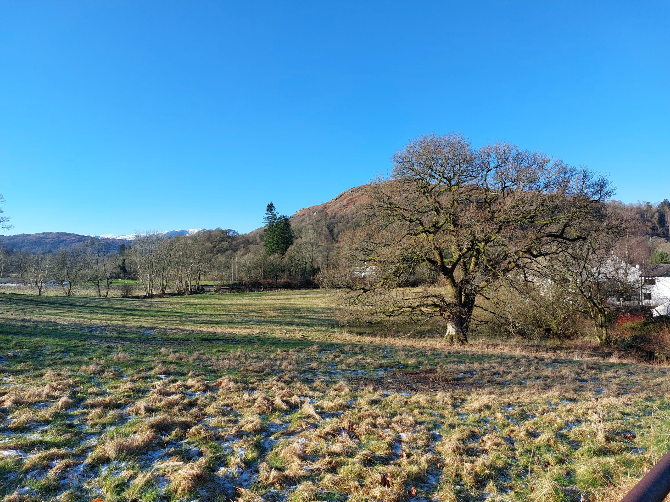
Existing green and blue features, including hedgerows, trees, watercourses and ponds must be retained and incorporated into designs, unless the proposal can demonstrate net benefits to green infrastructure.
All development must reinforce the green infrastructure network both within and surrounding the site.
In the same way that the network of roads connects destinations reached primarily by vehicle, active travel should be promoted by supporting and expanding the network or routes and spaces (green infrastructure) used by pedestrians and cyclists. Development of all scales and type should contribute to the green infrastructure network.
Further information and guidance can be found in the Standards Framework for Building with Nature.
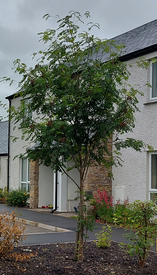
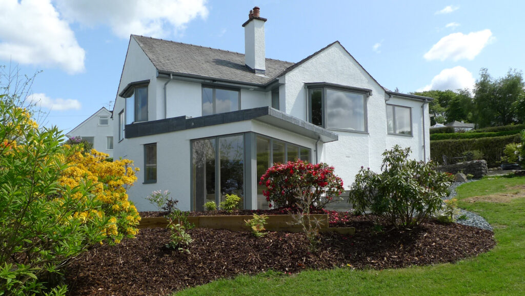
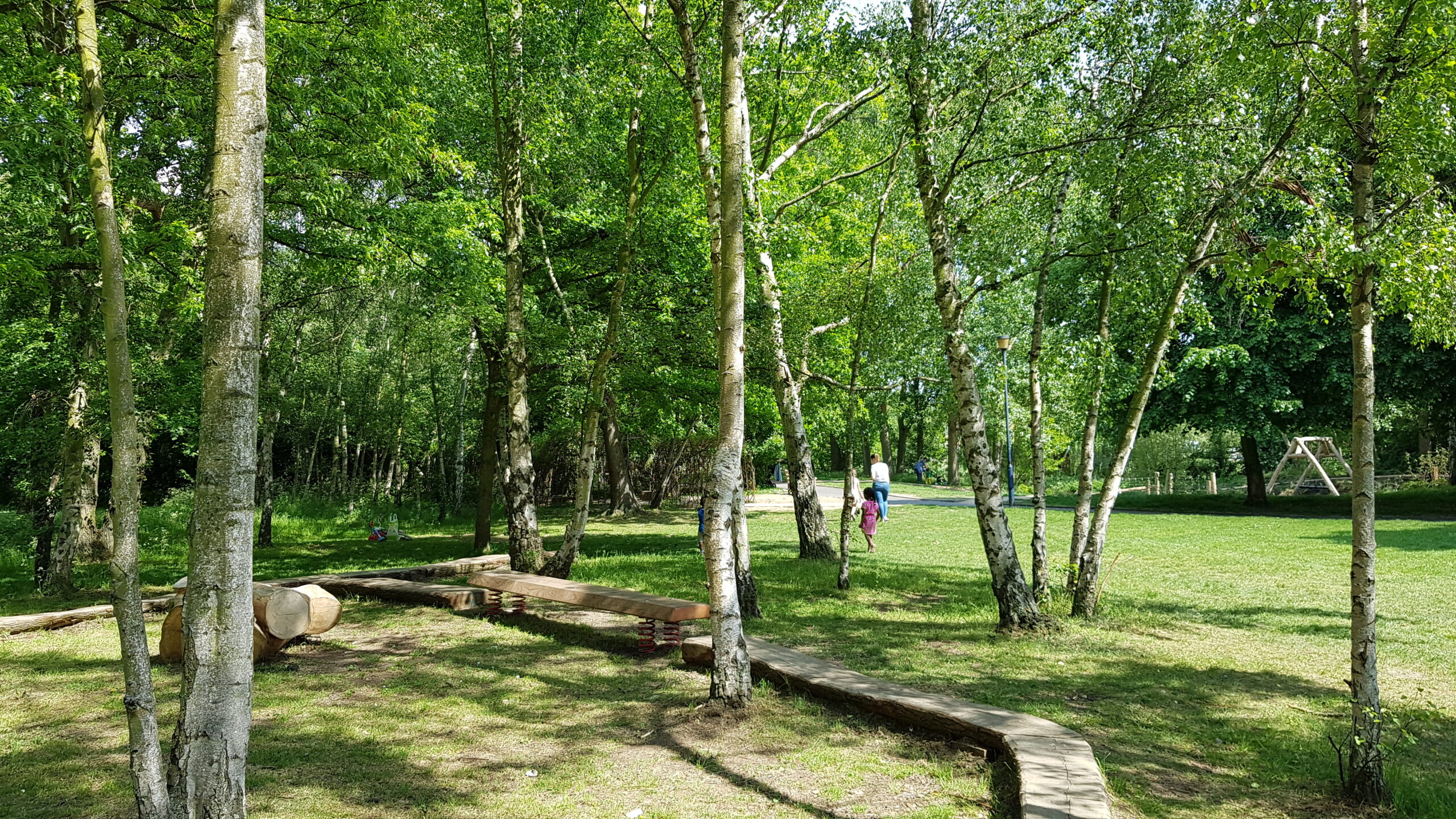
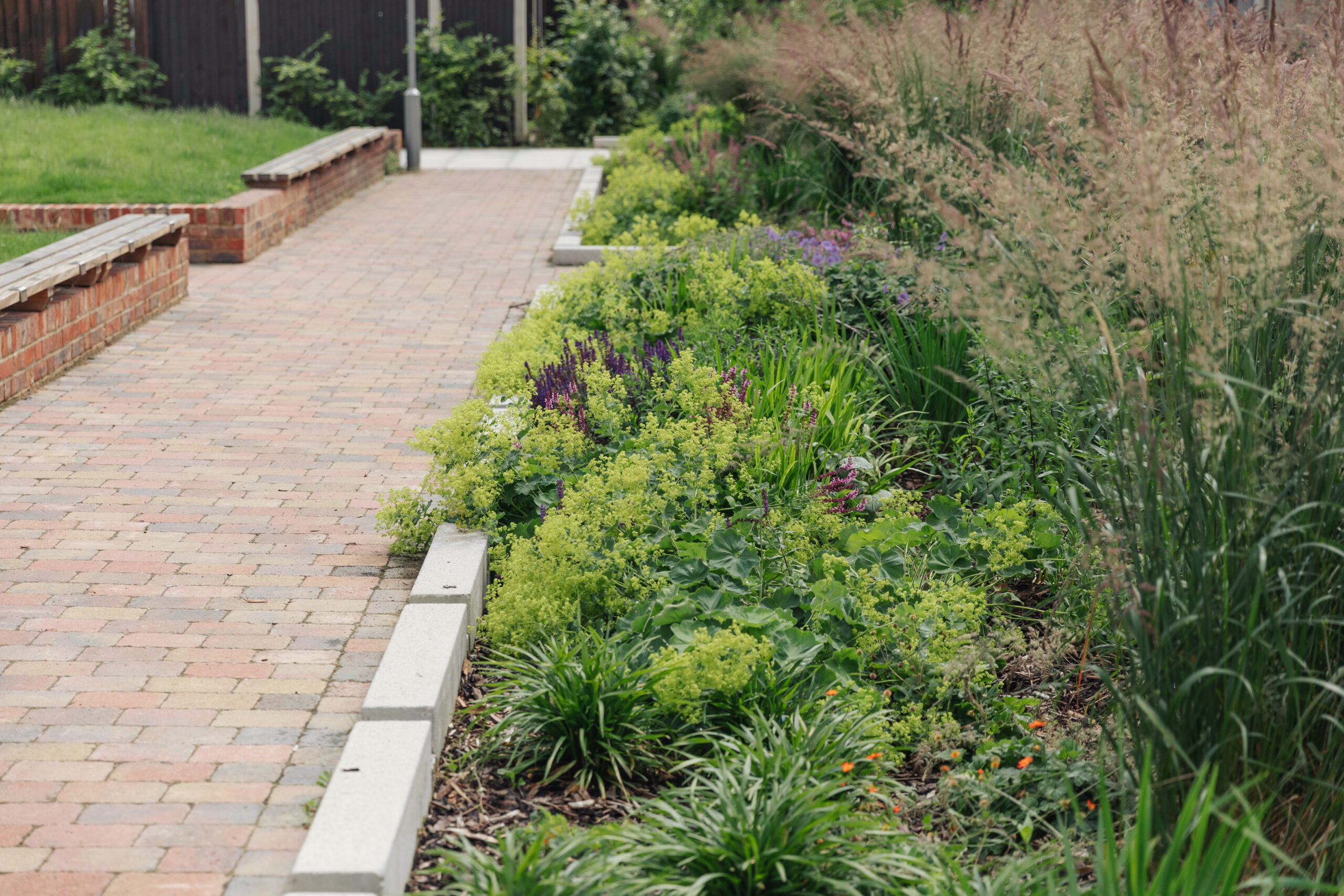
Private gardens should utilise mature shrub and tree species to create visual interest, year-round structure and wildlife refuge.
Native species, ideally of local provenance, will be favoured over non-native species due to their role in reinforcing the Lake District’s unique landscape character and providing for local wildlife.
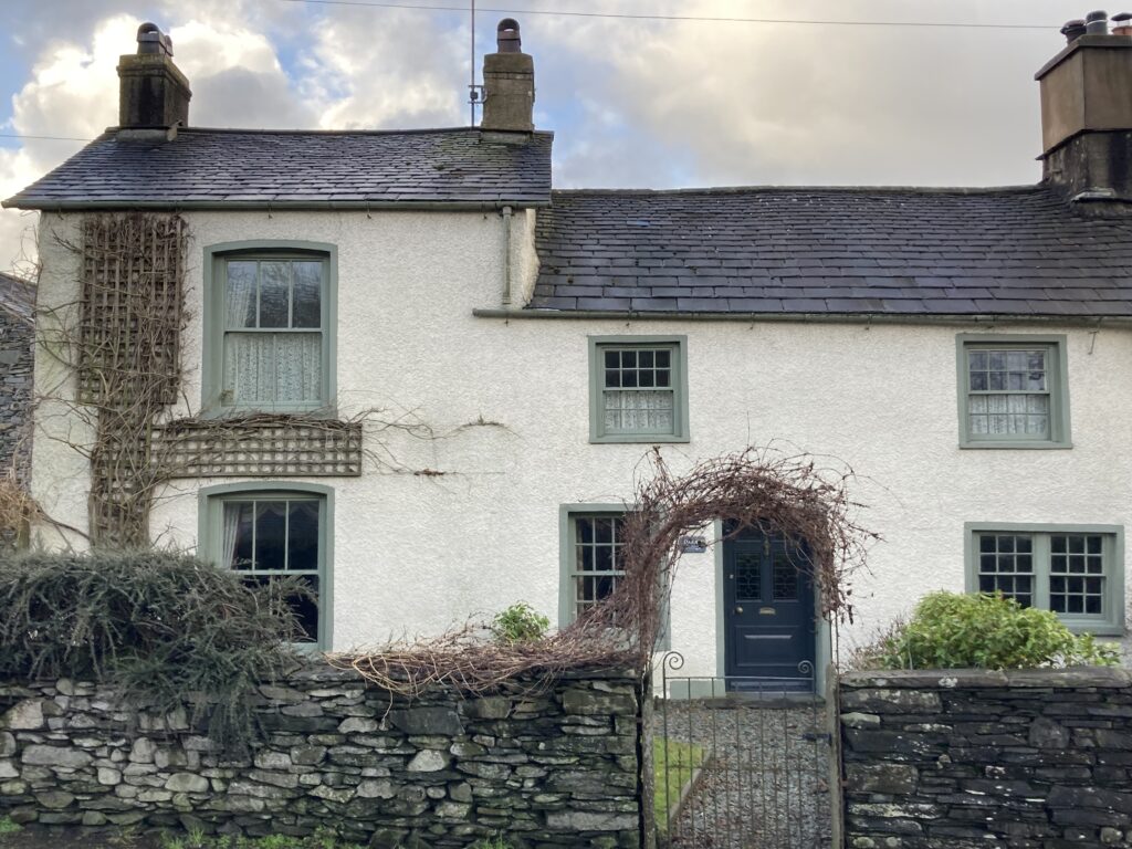
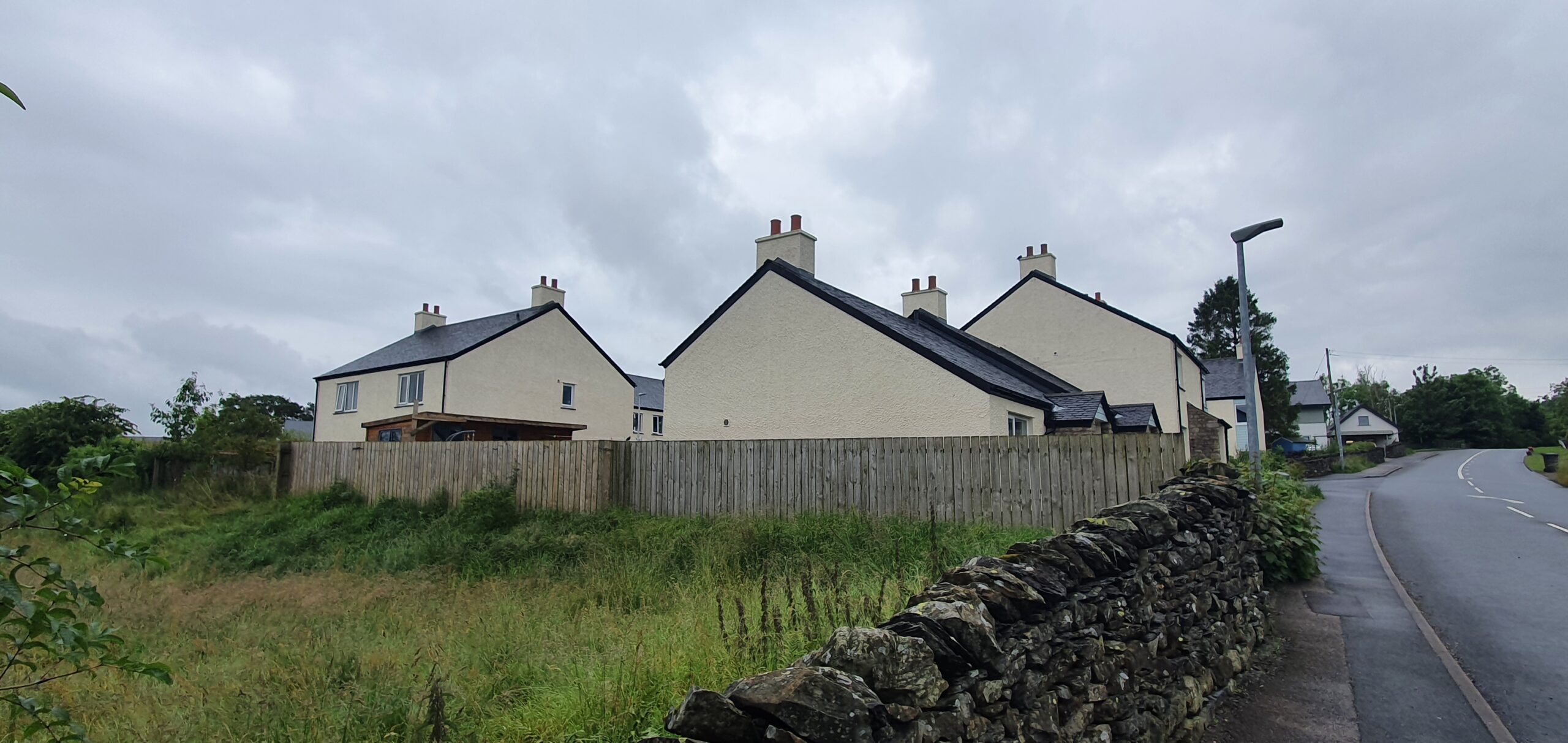
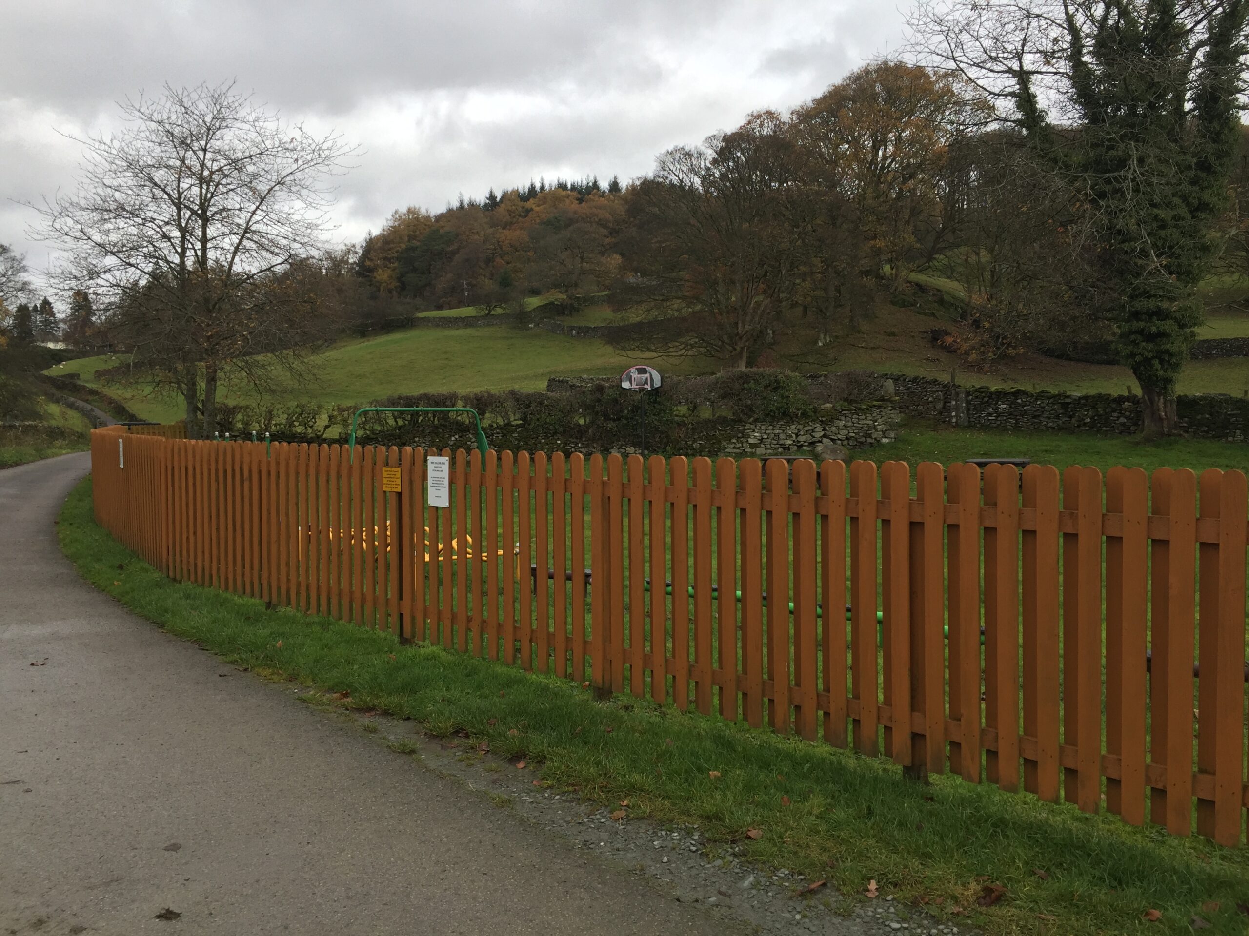
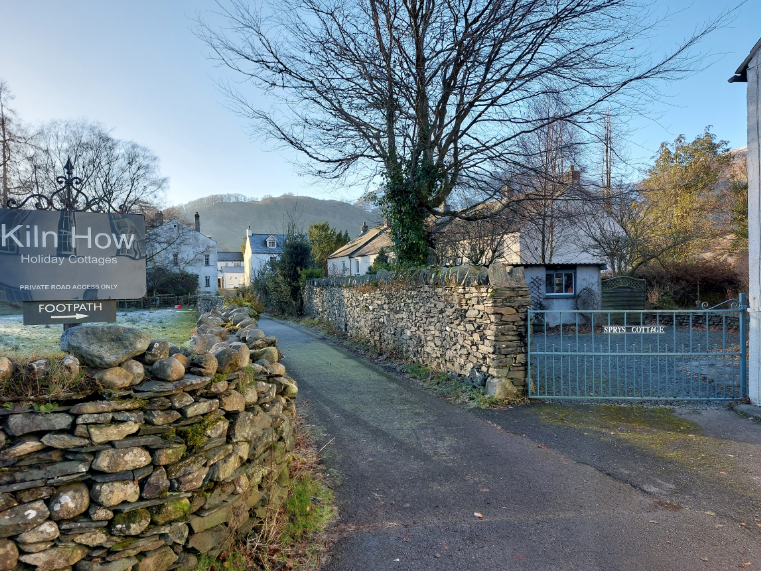
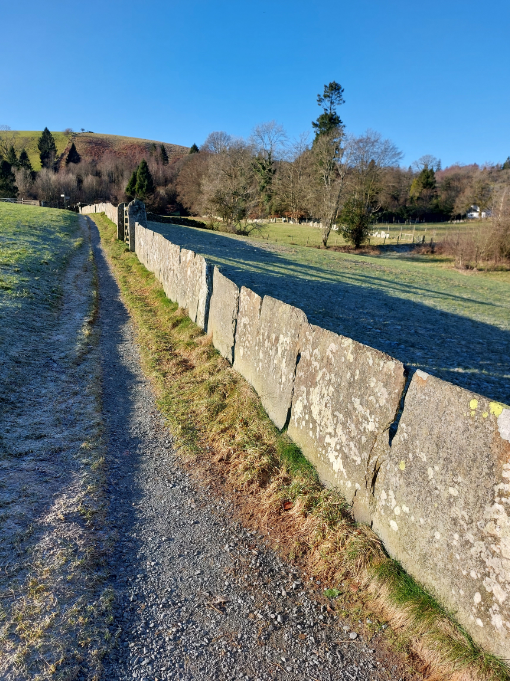
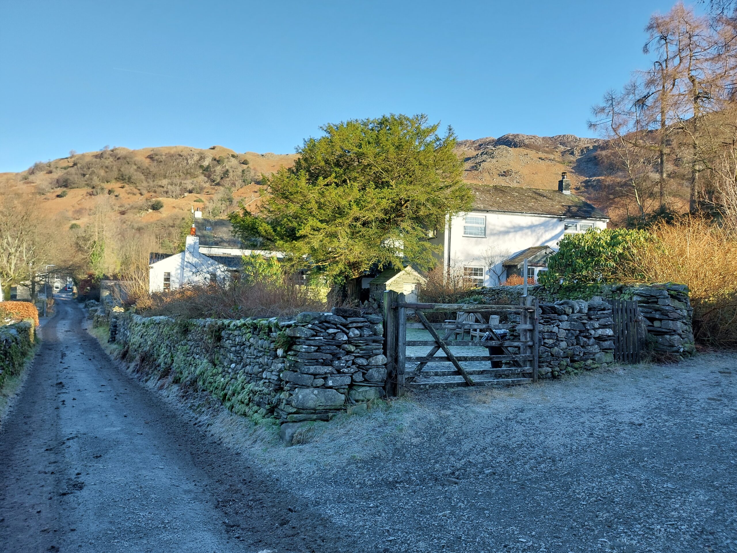
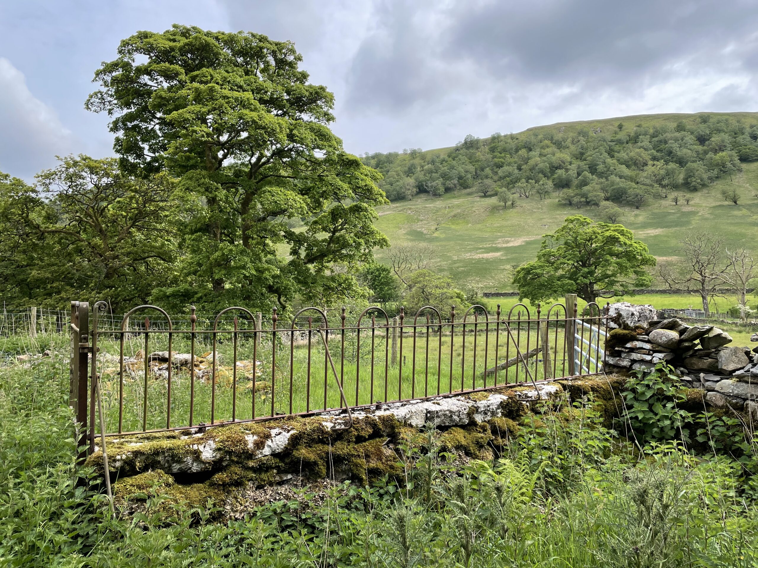
Where boundary features are required to plots and/or sites, use boundary features such as:
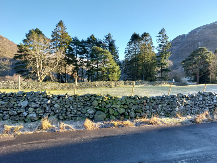
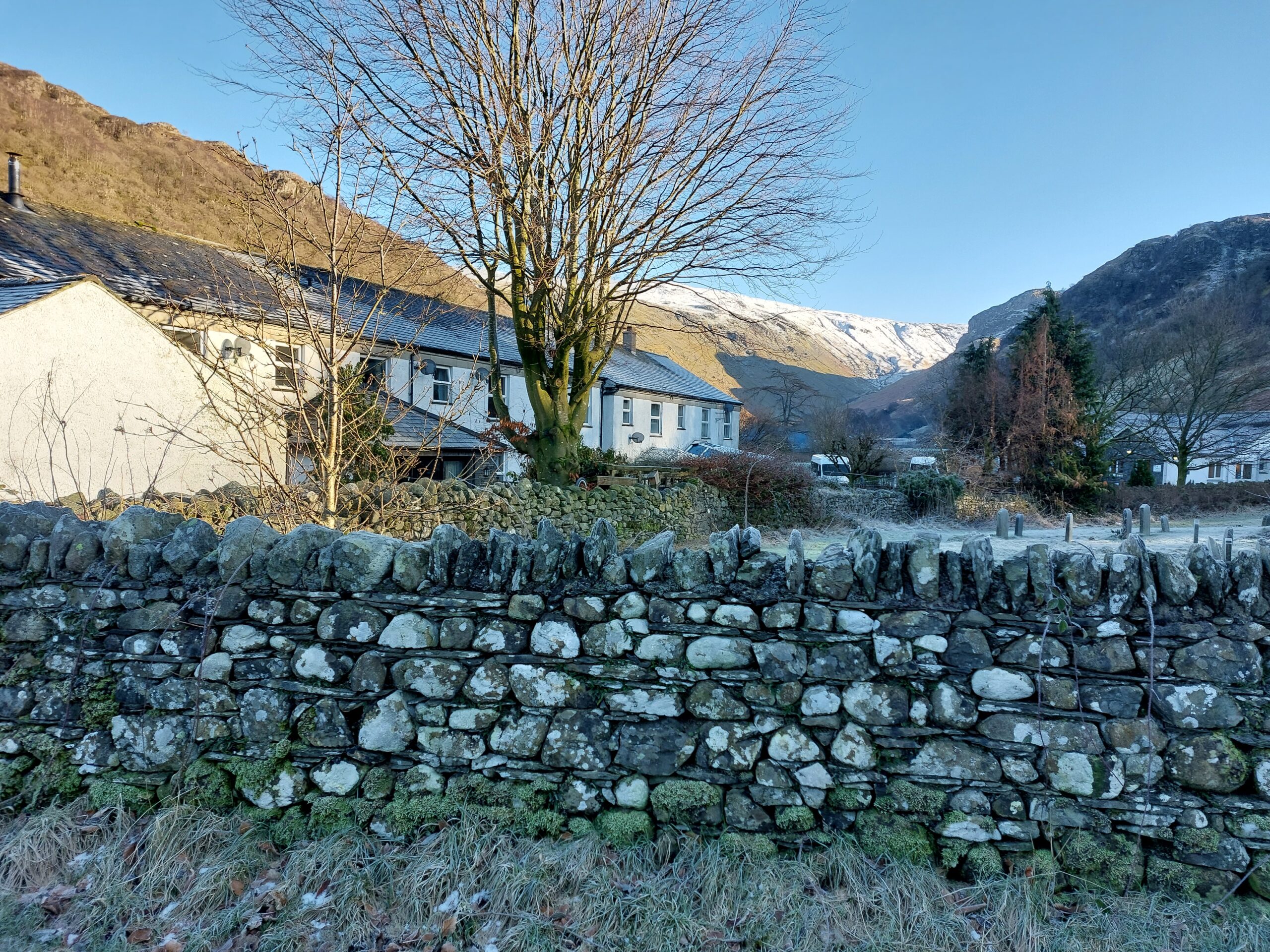
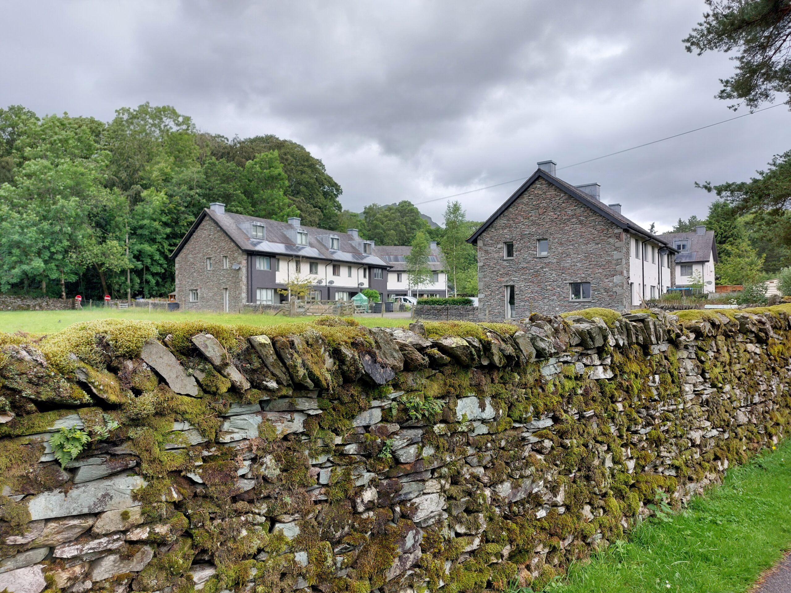
- Dry stone walls and retaining walls
- Hedges and hedgerows
- Coppicing
- Metal railings
When planning, designing and implementing green infrastructure, the Natural England Green Infrastructure Framework should be consulted, particularly the Green Infrastructure Planning and Design Guide.
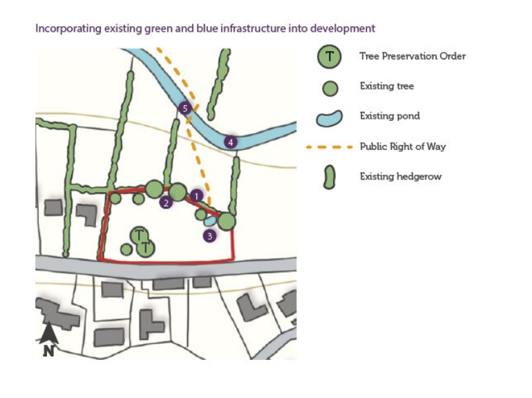
Examples of green and blue features which must be retained include:
- Hedgerows
- Trees / mature shrubs
- Ponds
- Watercourses / ditches
- Public footpaths and links such as river crossings
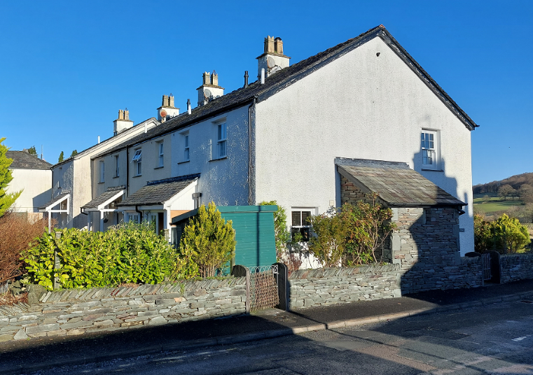
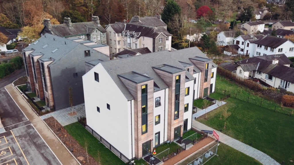
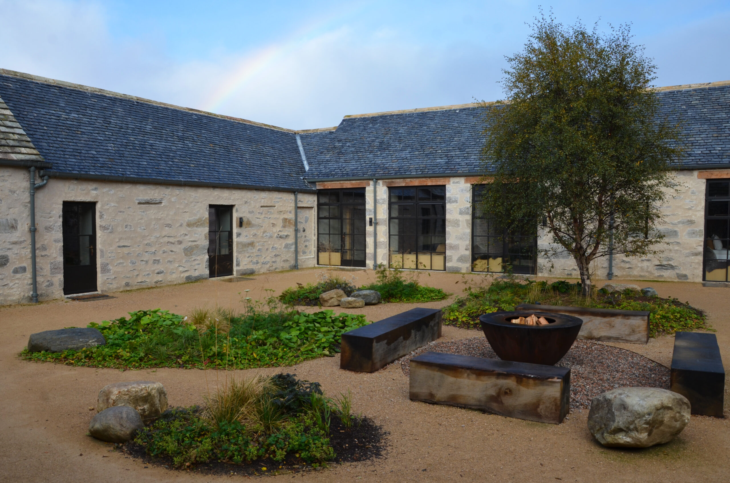
Gardens and balconies
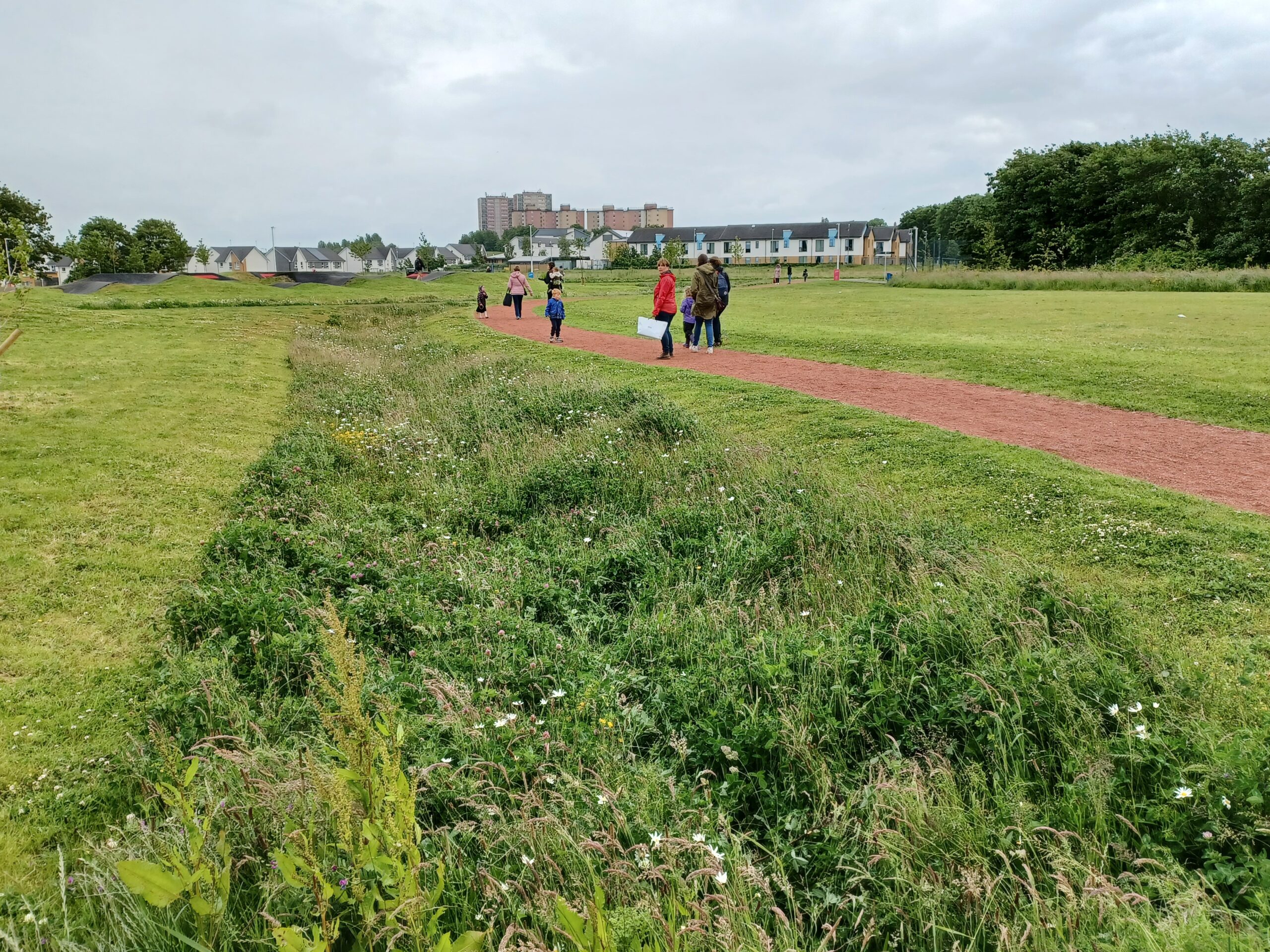
Generally, each dwelling should be provided with private outside space. However, a larger shared space may have greater amenity, play, biodiversity, landscape, and townscape benefits, than smaller enclosed pockets.
Open space provision
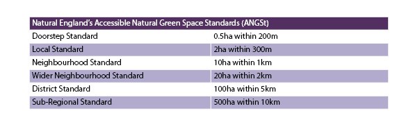
The size and function of this new Amenity Local Green Space should be informed on a case-by-case basis using the national standards set out below. Where possible, new development and new Amenity Local Green Space should contribute towards helping communities meet these standards.
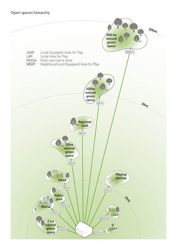
The size and function of this new Amenity Local Green Space should be informed on a case-by-case basis using the national standards set out below. Where possible, new development and new Amenity Local Green Space should contribute towards helping communities meet these standards.
Open space design
The following checklist should be used to ensure new open spaces are designed effectively:
- Does the new open space look to the character of its surrounding area for cues on design?
- Has the new open space been designed with consideration for existing and future local need?
- Is the new open space accessible and overlooked by surrounding properties?
- Are the new open space’s access points convenient and relate to desire lines?
- Is the new open space centrally located within the new development to form a focal point?
- Does the new open space contribute positively to the sense of place of the development and surrounding area?
- Is the new open space multifunctional and provide benefits relating to biodiversity, sustainable drainage and plant life that will absorb carbon?
- Does the new open space contribute towards the free movement of wildlife by acting as a stepping stone or linking feature with surrounding habitat?
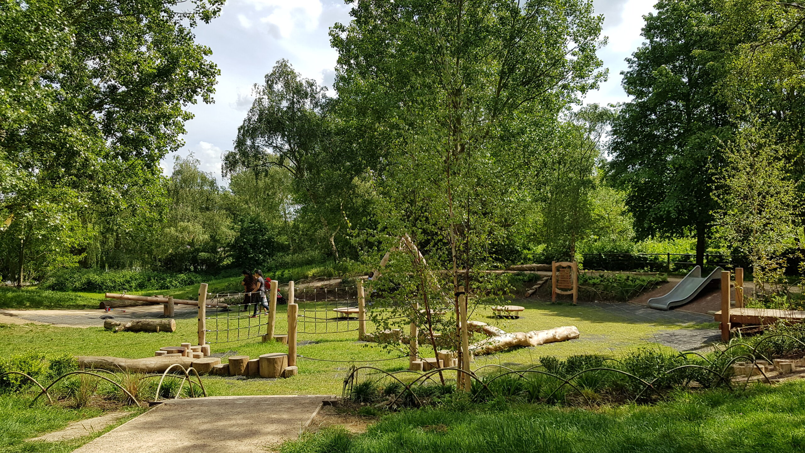
- Does the new open space provide opportunities for play and social interactions where possible?
- Has the new open space been designed to ensure onerous maintenance regimes are kept to a minimum?
- Does the open space have physical boundaries and if so, are these needed?
- Is sufficient lighting provided for the context of the open space without causing light spillage to surrounding properties and/or the sky?
- Do the design and soft landscaping reduce the impacts of noise and sound travelling? Hard surfaces and structures will encourage noise to travel whereas soft planting, trees and hedges will absorb sound.
- Are new surfaces, materials, boundaries and street furniture high quality, robust, and use naturalistic and locally distinctive materials where possible?
- Has there been an effort to include new tree and vegetation species that as a priority are native?
- Are the selected plant species of high wildlife value (such as pollinator-friendly plants) and are the species non-invasive?
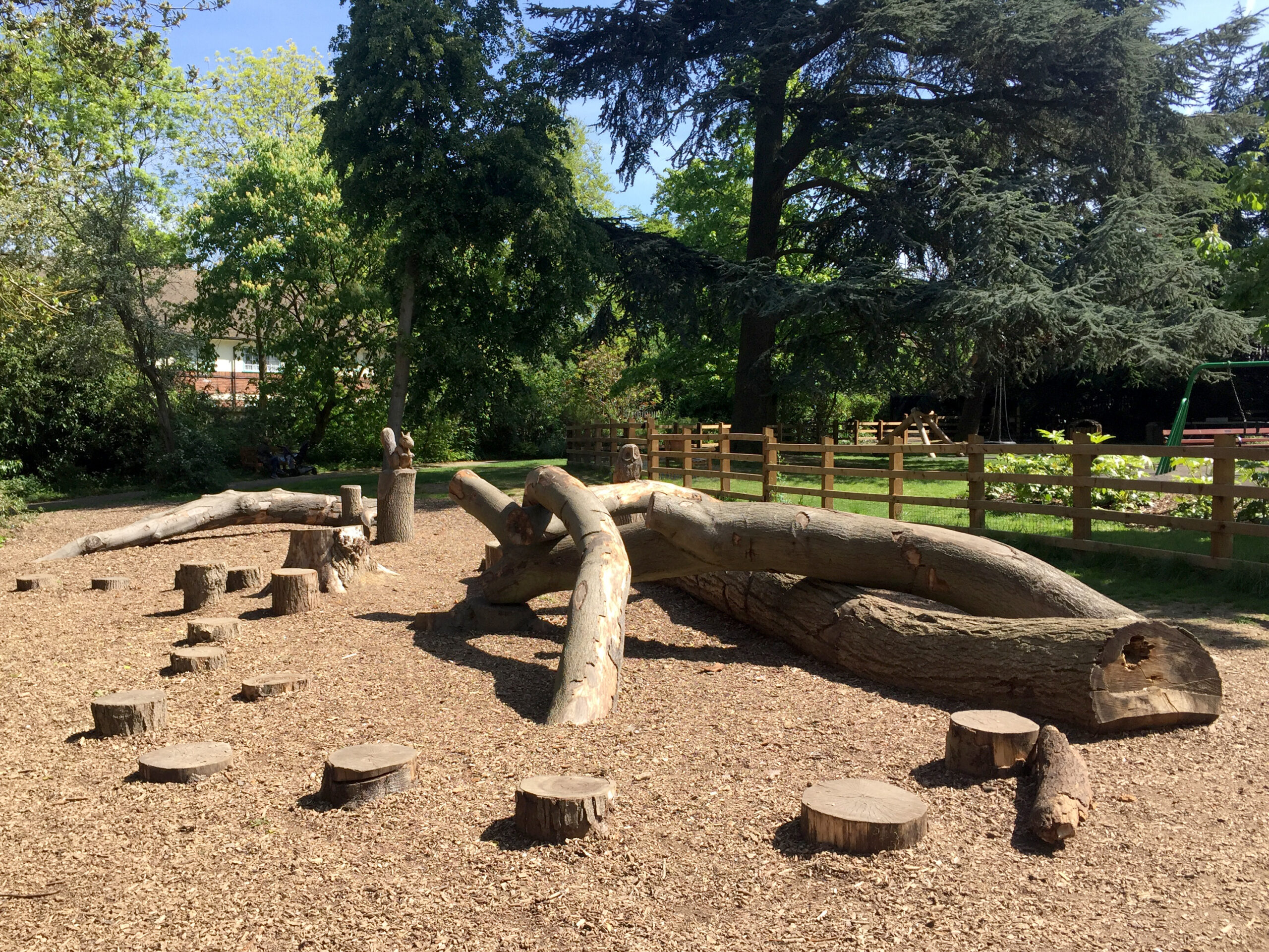
- Are new play spaces, including equipped play, visually attractive? Do they make use of natural features, such as rocks, trees, topography and water, and utilise natural materials, such as timber and stone?
- Does the new open space appeal to people of all ages, including forgotten demographics such as teenage girls and those with dementia.
- Does the new open space provide opportunity for community growing?
Native tree and planting species of local provenance should be prioritised within new open space. Tree species should have regard to the ground conditions of the site, the landscape or townscape character of the site, the tree’s resilience to future climate change and the tree’s function: is it for amenity or for play? Designers are encouraged to utilise the palette of tree species provided within the Street Trees section to guide the appropriate selection and siting of various native species. Designers are also recommended to use the Tree Species Selection for Green Infrastructure Guide for additional information on which species thrive where.
Water, flood risk and Sustainable Drainage Systems (SuDS)
Code
SuDS must be considered in the early stages of design and, where possible, incorporated within highways and open space design. Multifunctional SuDS that also allow for biodiversity and recreation will be favoured.
All new development must integrate Sustainable Drainage Systems (SuDS) that achieve greenfield run-off rates. This must be demonstrated through a site-specific drainage strategy.
In all development situations, the SuDS Management Train must be applied, as illustrated below. Surface water that is captured and managed above-ground on site for non-potable uses, such as irrigation, will always be favoured.
Where surface water is discharged into a watercourse, surface water sewer or drain or combined sewer (respectively options 4, 5 or 6 below) it must first pass through an attenuation measure as outlined in option 3, below.
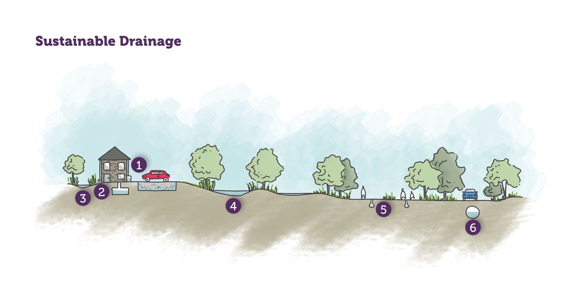
Sustainable drainage hierarchy
- Rainwater used as a resource, for example rainwater harvesting, blue roofs for irrigation.
- Rainwater infiltration to ground at or close to source. Rainwater attenuation in green infrastructure features in the wider site for gradual release, for example rain gardens and swales.
- Rainwater discharged to watercourse, unless not appropriate.
- Controlled rainwater discharge to a surface water sewer or drain.
- Controlled rainwater discharge to a combined sewer.
The form, function and design of SuDS will vary on a site-by-site basis depending on topography, ground conditions, permeability, contamination potential, adjacent watercourses and the sensitivity of groundwater receptors.
Where sites have been previously developed, the potential for ‘de-paving’ redundant or unnecessary sealed surfaces and replacing this with SuDS should be explored.
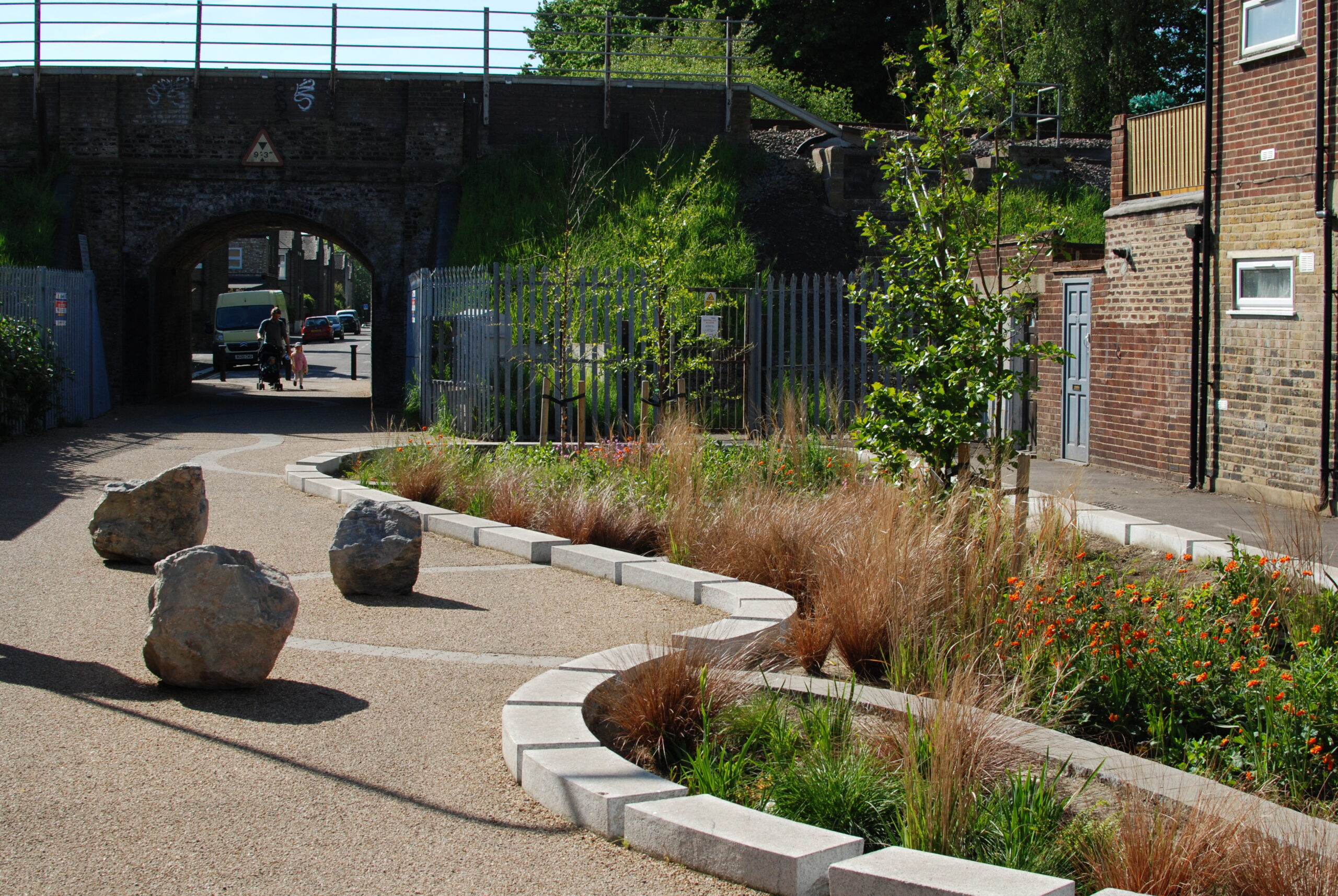
The design of new SuDS must carefully, yet imaginatively, respond to local character and the setting of the scheme:
- For developments located within towns and village cores, more formal and manicured SuDS, such as constructed rain gardens, rills and swales, may be appropriate and provide a valuable contribution towards enhancing the character of the development.
- For developments located within the rural fringes, more naturalistic SuDS, including softsided swales, vegetated ditches, attenuation ponds and wetlands will be more appropriate.
The creative use of permeable paving and gullies that respond to their context is encouraged.
Planting choice within SuDS must provide for biodiversity and pollinators. Trees and larger specimens are encouraged where appropriate to context. The use of native plant and tree species is required.
SuDS should contribute to amenity and biodiversity. For these reasons ‘pipe to basin’ SuDS where runoff is channelled into an underground tank must only be used as a last resort to manage water runoff from a site.
The longevity of SuDS and their ongoing maintenance must be secured for the lifetime of the development. Consideration should be given to futureproofing SuDS by ensuring their capacity built today can accommodate the likely heavier rainfall events of the future. The likely long-term flood risk for a particular address can be found on the government’s website.
Applicants should refer to the SuDS Manual for detailed guidance on the correct application of SuDS in their scheme, including calculating and using greenfield run-off rates.
Water efficiency
Rainwater harvesting systems should be installed in all new housing developments. This will ease the pressure on the local water supply during drought periods. All new developments should incorporate water butts.
Water efficiency measures should be fitted to new houses so that a water consumption standard of 110 litres per person per day can be achieved.
Where there is new or redesigned greenspace, species diversity and planting resilient tree and plant species based on the projected changes in climate in the area will ensure the development is resilient to the potential climate risks facing the Lake District. Forest Research’s ESC4 tool should be used when deciding on the appropriate tree species composition for planting.
Flood risk
Design of new housing must reduce flood risk at every opportunity as required by the Local Plan. However, if a risk still exists, flood avoidance measures should be demonstrated. These can include:
- Locating buildings on the lowest risk parts of the site;
- Raising floor levels above predicted flood levels;
- Recessing external doors and windows at ground floor so that flood barriers can be slotted into place in advance of potential floods,
- Incorporating SuDS that anticipate the heavier rainfall and greater surface water runoff levels of the future, and
- Using upper storeys of buildings for habitable space, saving ground floors for less vulnerable uses, such as garages, that are designed in line with the Code of practice for property flood resilience to ensure quick recoveries if flooding occurs.
- A consideration of the likely long-term flood risk of the site. This can be found for specific addresses on the government’s website.
Houses near water
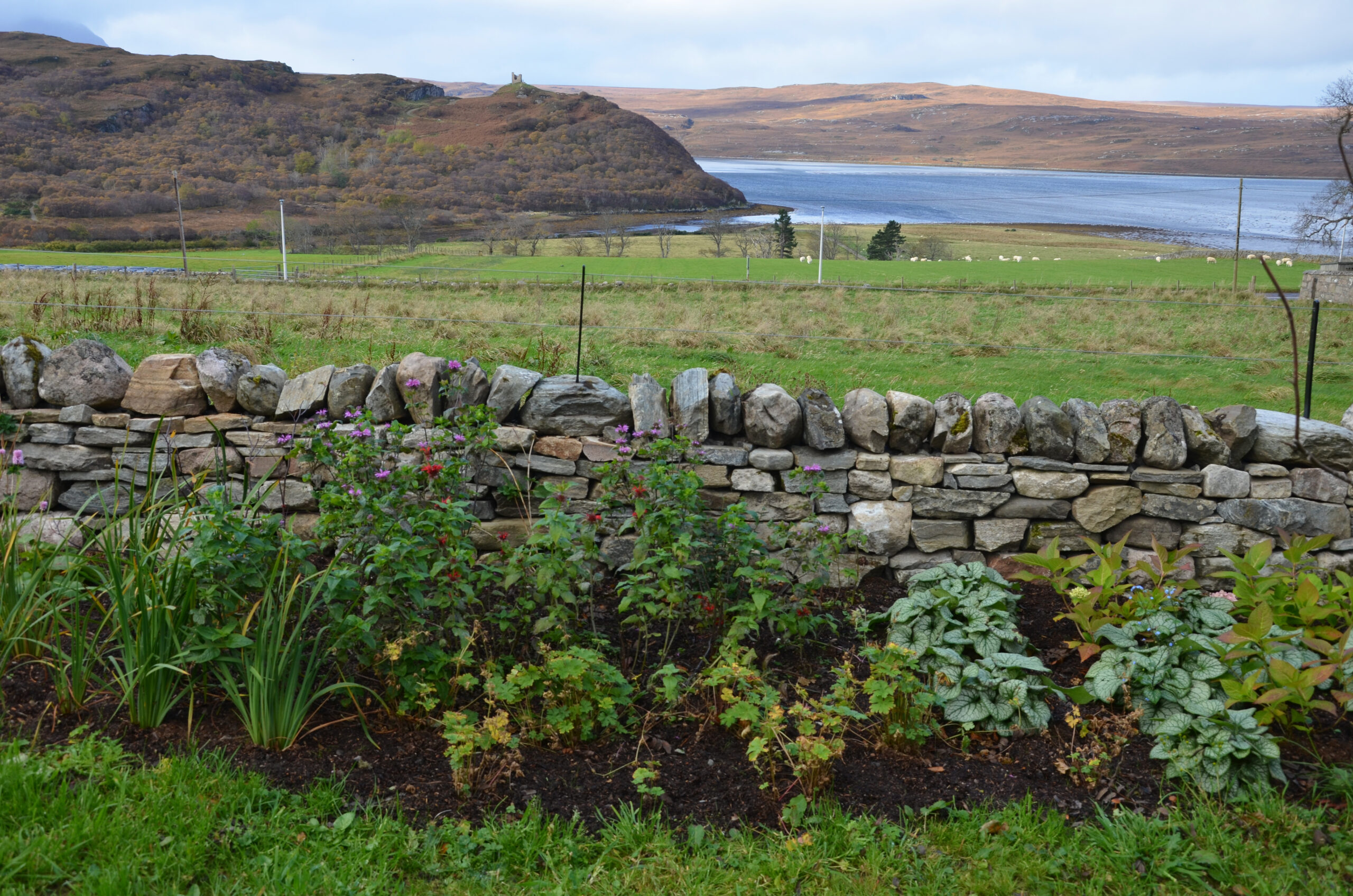
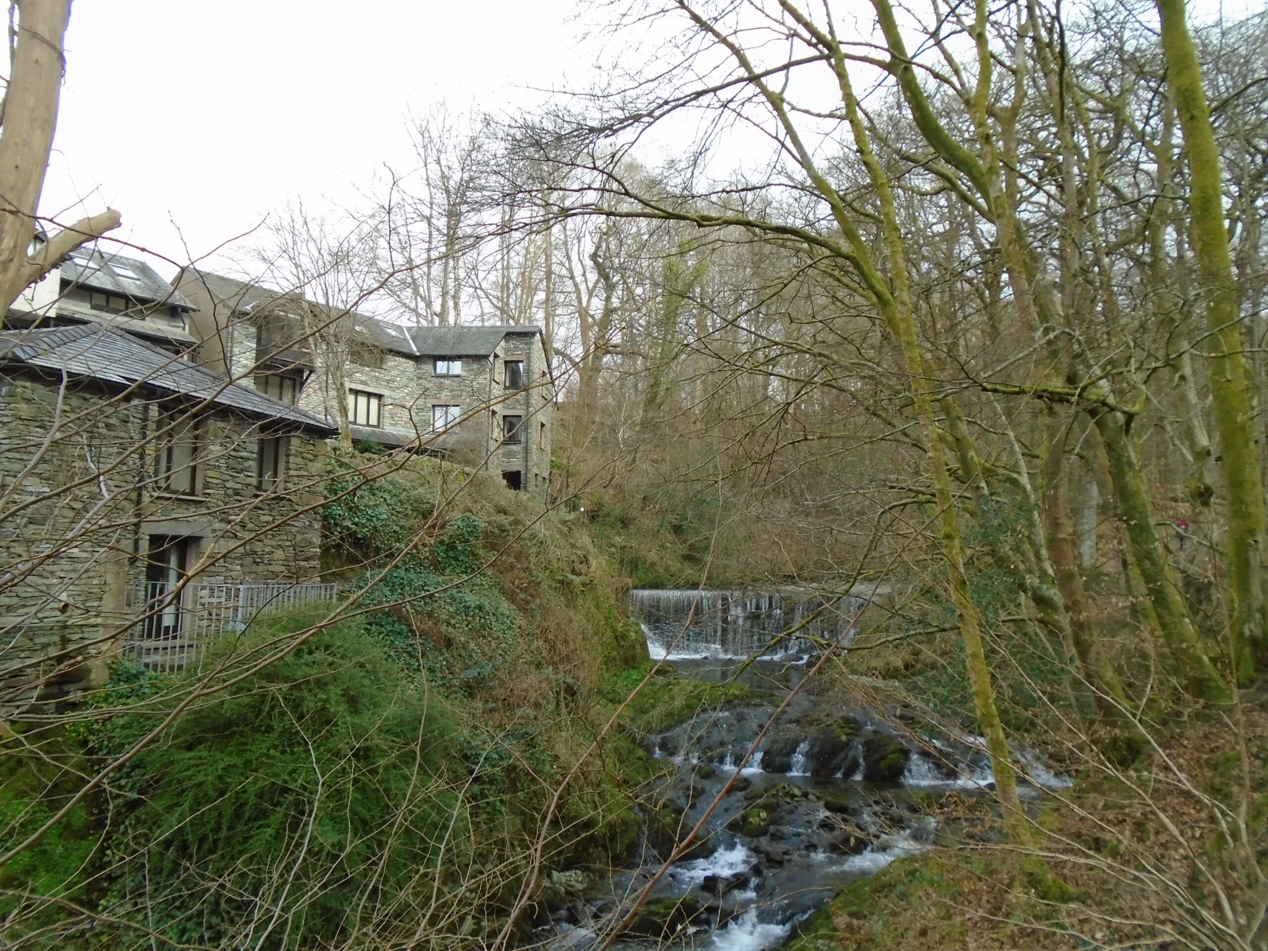
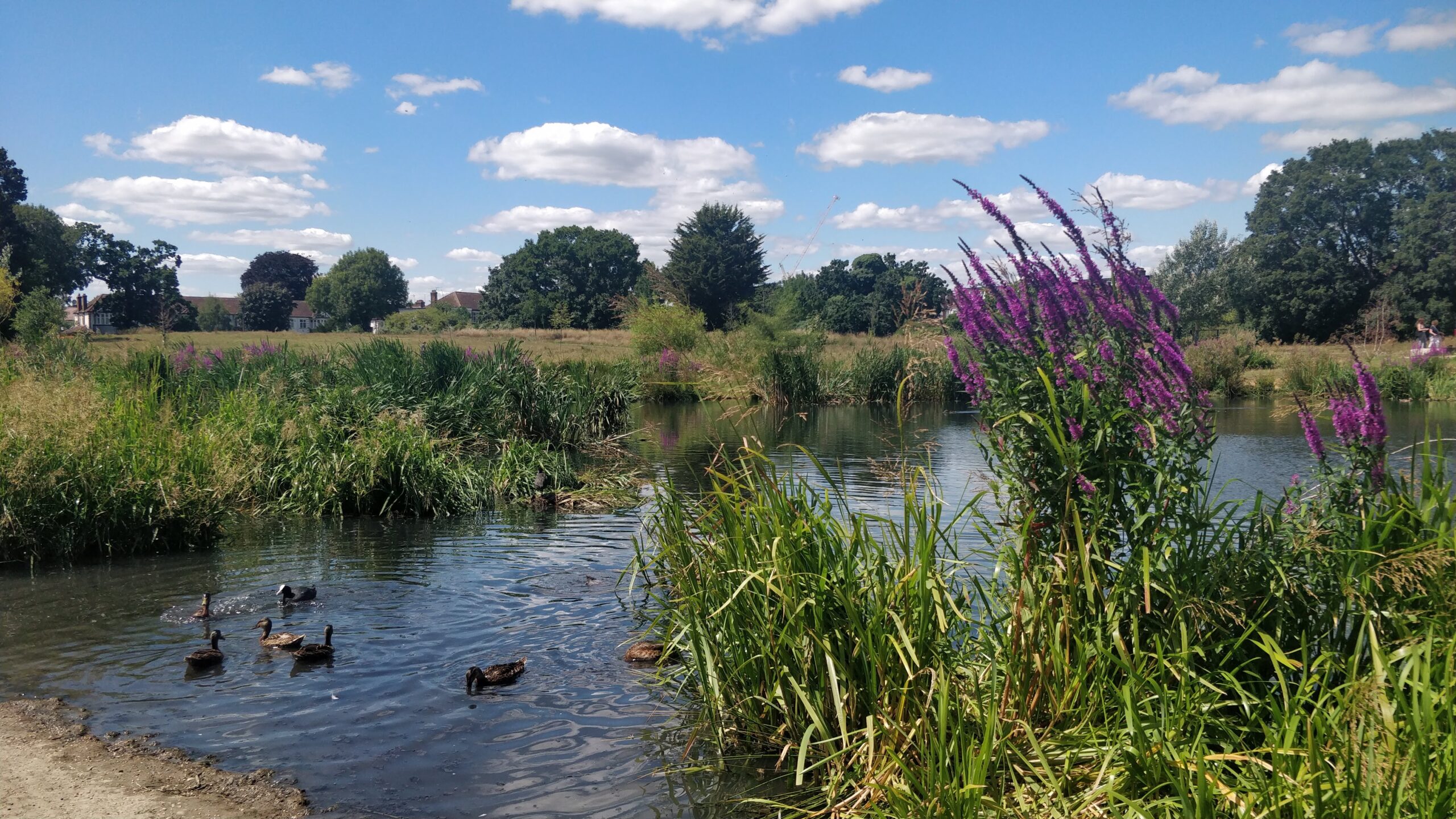
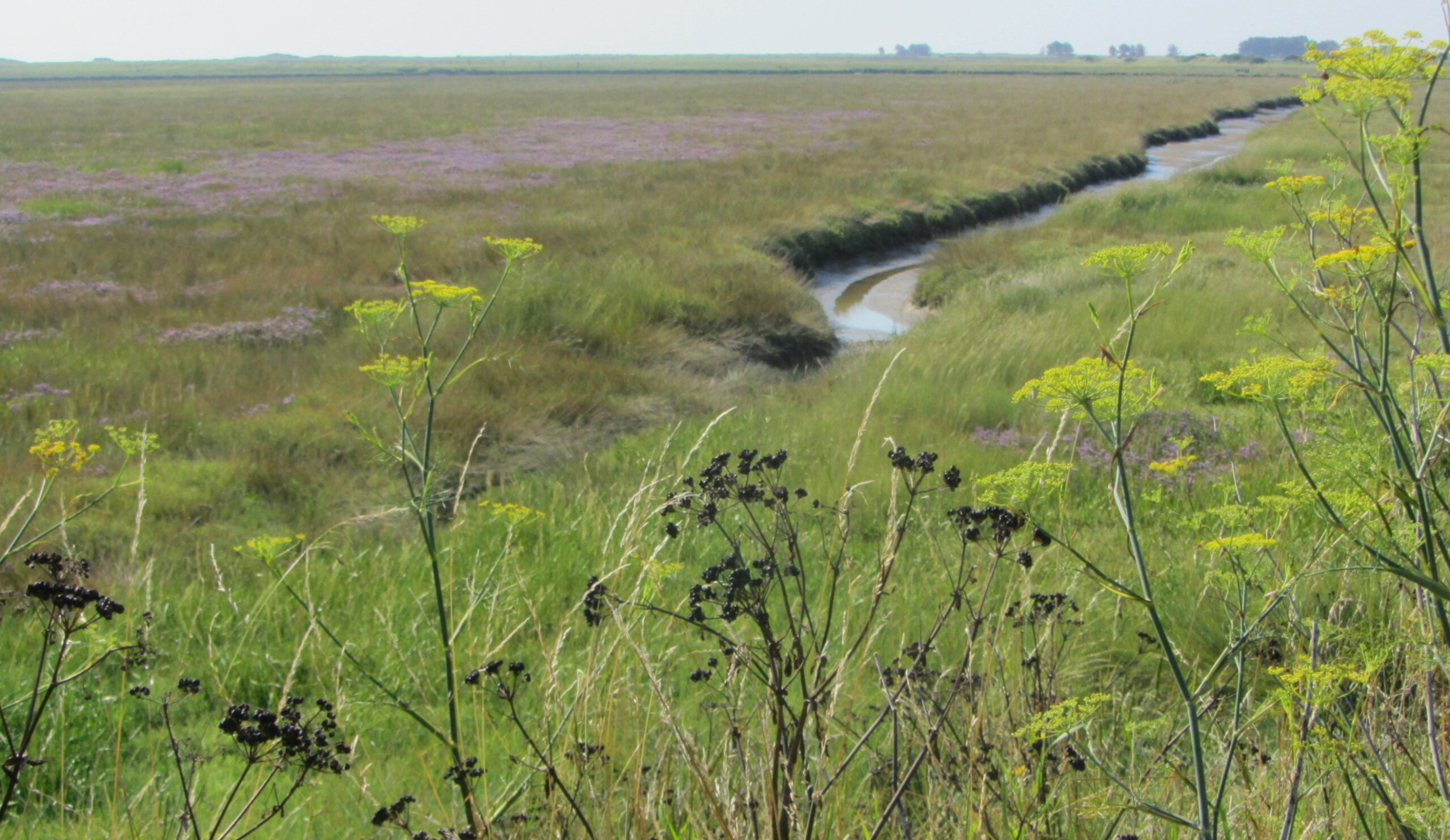
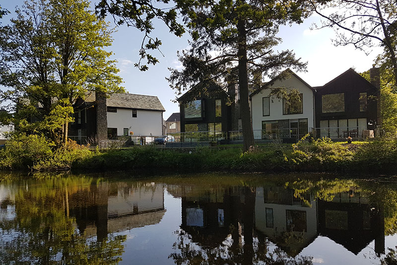
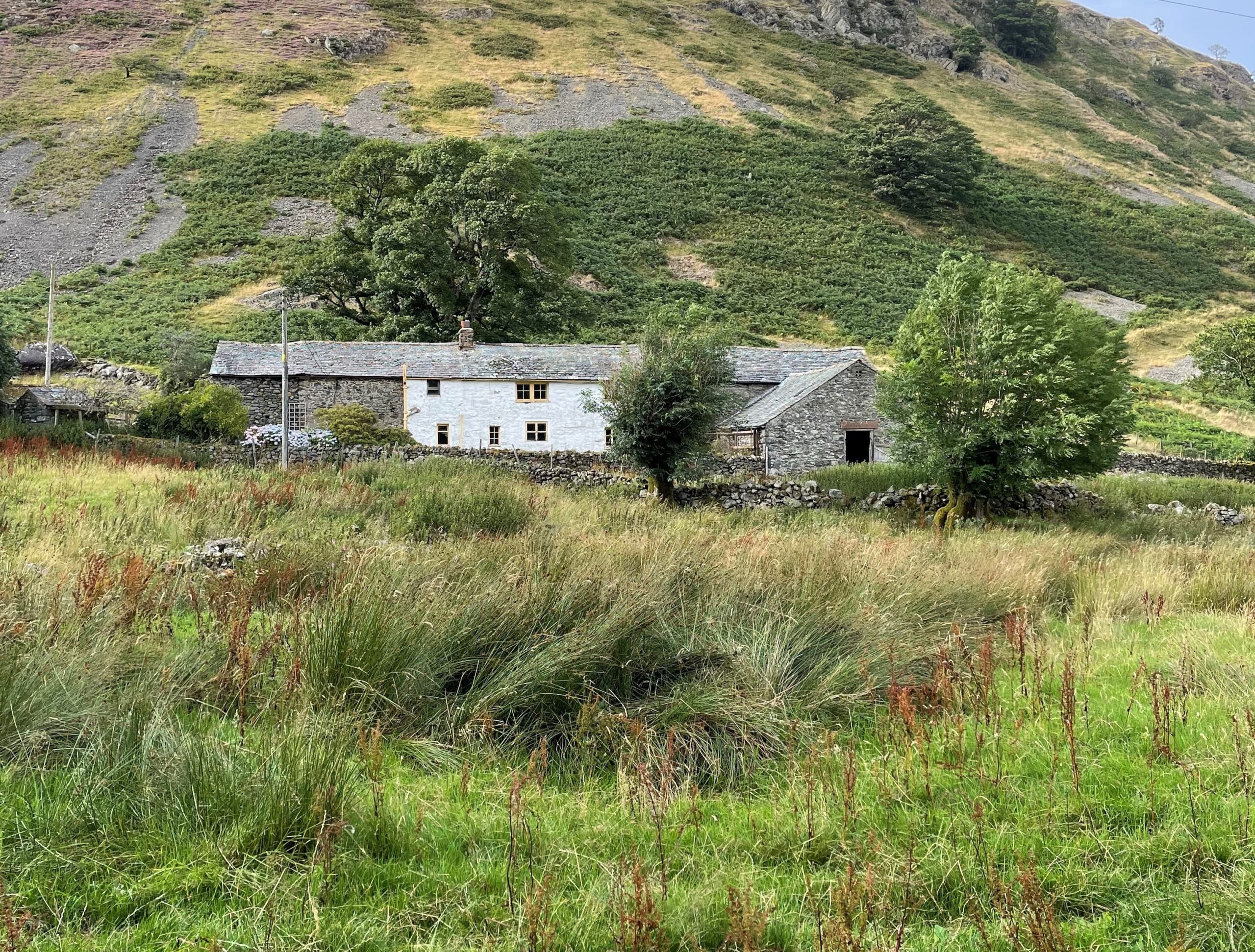
New housing development that is adjacent to water must respond sensitively to the ecological, recreational and visual amenity of the asset, as well as have consideration for the flood risk it can pose, and the potential for contaminated run-off. Within the Lake District, water can include lakes, rivers, streams, ponds, wetlands, estuaries and the sea.
Particular design considerations must be given to housing schemes that are located on lake shores due to the prominence of their position in views from the lake and from other shores.
Primary frontages must be delivered on both the road-facing and lake-facing sides of the building to preserve visual amenity from both aspects.
Where detached dwellings sit within large plots along lake shores, gaps between adjoining properties should be retained to allow for glimpsed views of the lake and opposite shores.
New or upgraded boat houses should match the scale of existing or surrounding boat houses. The use of traditional local building materials is encouraged, as is the sensitive contemporary interpretation of these building styles.
Existing trees and mature vegetation must be retained on sites unless for exceptional reasons. New tree planting is encouraged to soften views of new built form and to help integrate it into the wider landscape.
Dwellings along lake shores should retain expanses of open gardens and lawn adjacent to the water. Built form up to and on the water’s edge should be limited to boat houses.
The following considerations should be used to ensure new development that is located adjacent to water is designed sensitively:
- Has a sufficient buffer zone been left between new built form and the waterbody to allow for management (normally 5m+ or 8m+ in the case of Main Rivers)?
- Has a sufficient buffer zone been left between built form and the waterbody to allow space for wildlife? For lake shores the buffer should be at least 5m.
- Has sufficient space been left to allow for future flood defences, if appropriate?
- Has flood risk, including fluvial, marine, surface water and ground water, been considered within the siting and design of the development?
- Has the SuDS Management Train (see above) been applied for managing surface water?
- Does the site already include a SuDS? Can this be upgraded and increased in capacity of needed?
- Is there potential for multi-functional SuDS that manage surface water, provide habitats and amenity?
- Have opportunities to naturalise banks or enhance riparian edges for habitat been explored?
- Has the habitat and biodiversity potential of the waterbody been enhanced through the scheme?
- Where schemes adjoin watercourses, has effort been made to create walking and cycling routes alongside their course, where appropriate?
- Is there passive surveillance of the waterbody from neighbouring properties?
- Does the waterbody form a focal point within new green space?
- Does the waterbody contribute positively towards the character of the scheme?
- Could the scheme have an adverse impact on water quality within the waterbody?
- Have opportunities to enhance water quality through the scheme been explored?
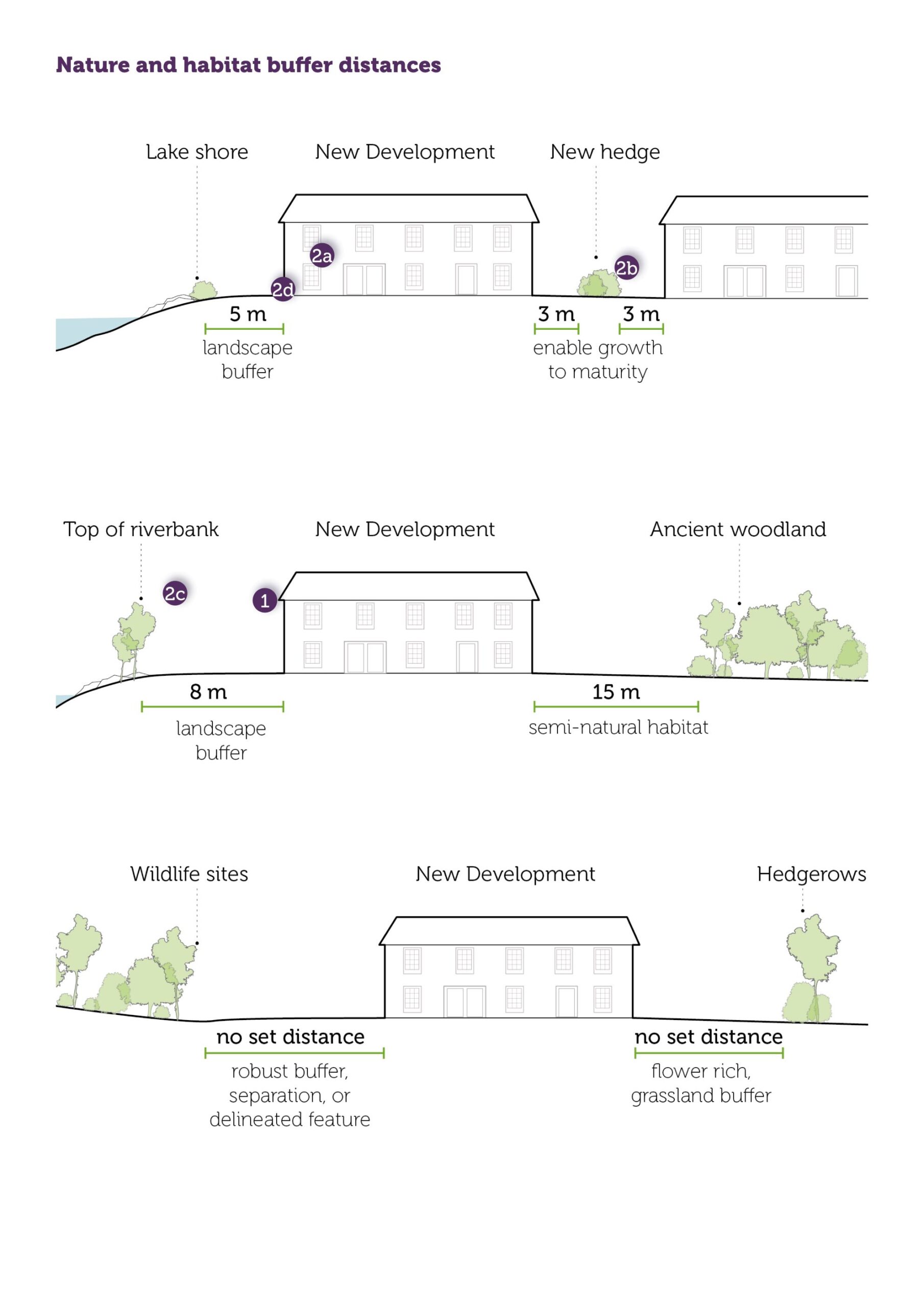
Nature and habitat buffer distances
Code
- New housing development that is adjacent to water must respond sensitively to the ecological, recreational and visual amenity of the asset, as well as have consideration for the flood risk it can pose, and the potential for contaminated run-off. Within the Lake District, water can include lakes, rivers, streams, ponds, wetlands, estuaries and the sea.
- Particular design considerations must be given to housing schemes that are located on lake shores due to the prominence of their position in views from the lake and from other shores.
2a. Primary frontages must be delivered on both the road-facing and lake-facing sides of the building to preserve visual amenity from both aspects.
2b. Where detached dwellings sit within large plots along lake shores, gaps between adjoining properties should be retained to allow for glimpsed views of the lake and opposite shores.
- New or upgraded boat houses should match the scale of existing or surrounding boat houses. The use of traditional local building materials is encouraged, as is the sensitive contemporary interpretation of these building styles.
2c. Existing trees and mature vegetation must be retained on sites unless for exceptional reasons. New tree planting is encouraged to soften views of new built form and to help integrate it into the wider landscape.
2d. Dwellings along lake shores should retain expanses of open gardens and lawn adjacent to the water. Built form up to and on the water’s edge should be limited to boat houses.
All schemes must check their requirement for nutrient neutrality validation before submitting a planning application. Information regarding catchment areas subject to nutrient neutrality measures, information requirements, and types of development that are exempt can be found on the LDNPA website.
Biodiversity
Ecological surveys and assessment should be undertaken prior to site design, so that the presence of sensitive sites, habitats and species informs the site layout or masterplanning stage. Early consideration of ecological constraints and opportunities help to underpin accurate design, budget and programme planning.
Development should contribute to nature recovery through the creation of more areas of wildlife-rich habitat in bigger patches, of better quality, that are more joined-up (see Cumbria Local Nature Recovery Strategy (LNRS)).
Biodiversity Net Gain
All development must refer to the Biodiversity SPD. New housing developments will need to follow the mitigation hierarchy to help avoid biodiversity losses and secure gains.
Natural environment enhancements can be delivered by:
- Including standing and fallen dead wood, scrub and a range of vegetation conditions from patches of open ground to dense vegetation.
- Planting locally-appropriate tree species, shrubs, climbers and ground plants. Cumbria PLAN BEE for pollinators, wildlife friendly planting lists are available from a range of recognised bodies including the RHS, Cumbria Wildlife Trust, RSPB and Bug life.
- Retaining trees and hedgerows and creating an adequate root protection zone to ensure their longevity.
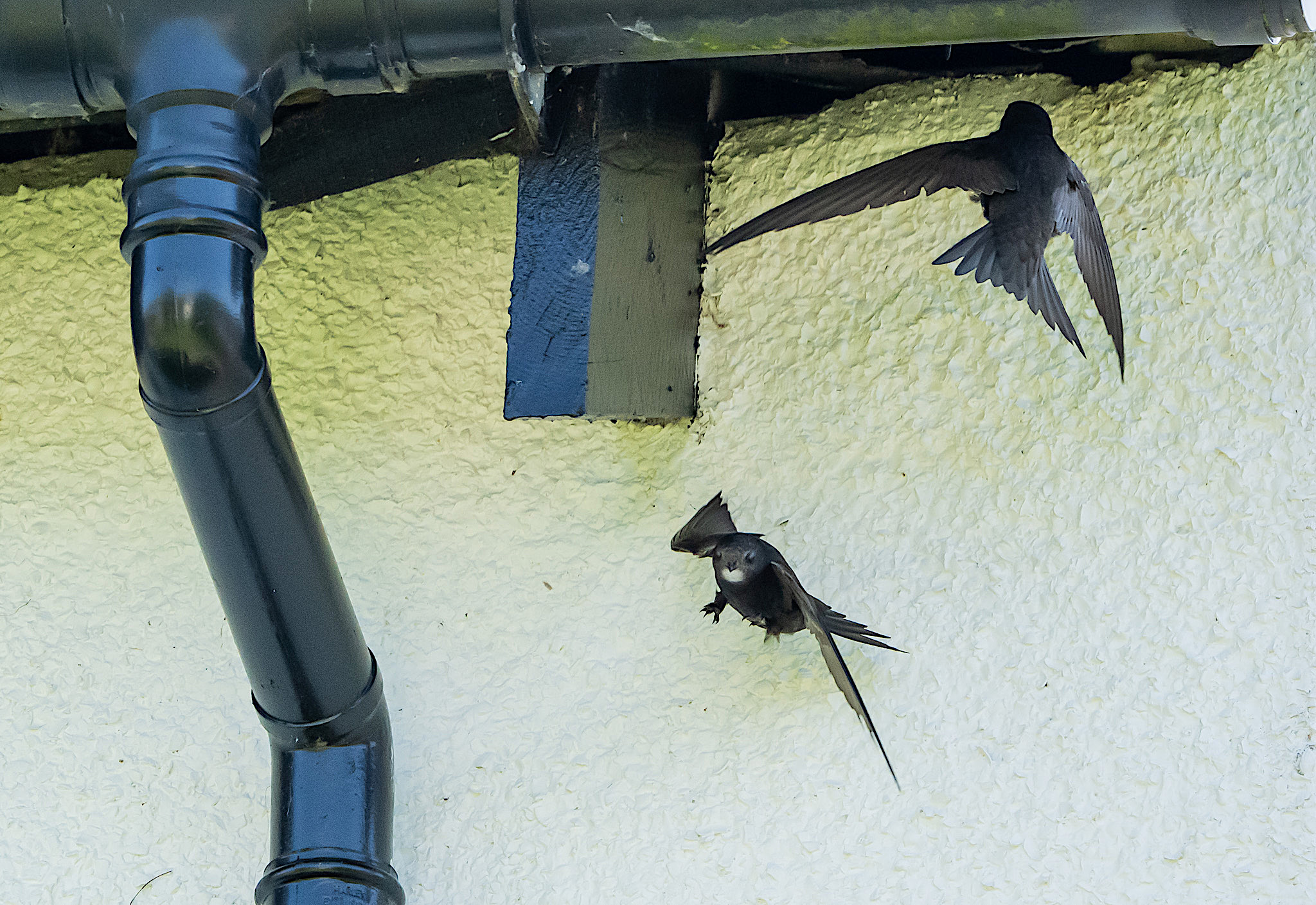
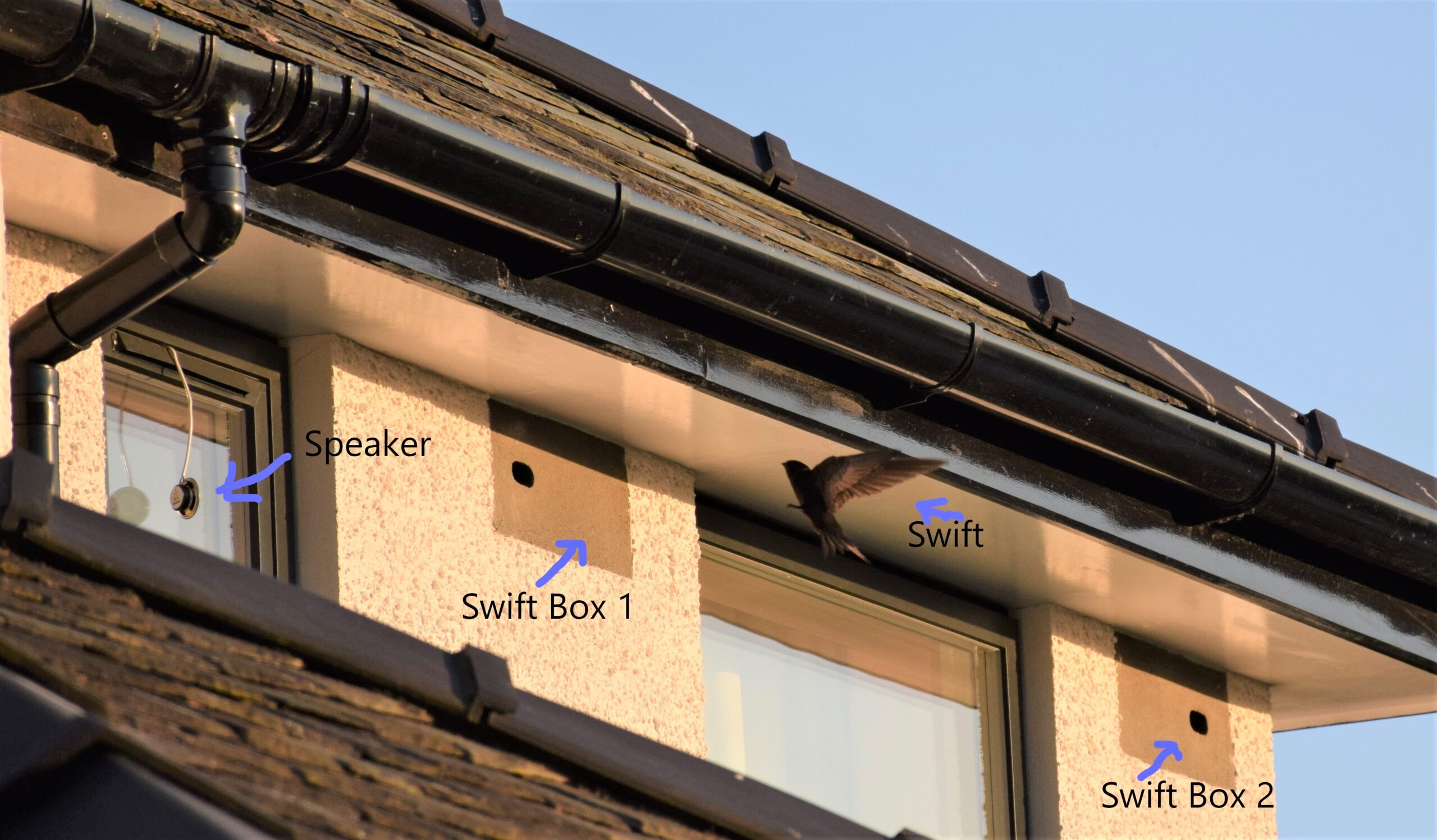
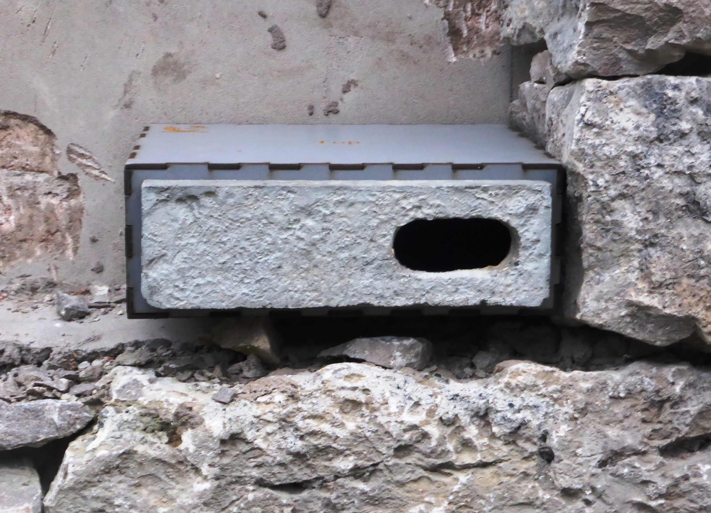
- Integrating roost and next boxes into all types of development including extensions and alterations. These should be sited at the appropriate height and aspect, and be connected to a habitat which allows the target species to successfully establish in. Nest boxes must comply with the relevant British Standard: BS 42021:2022. Swift bricks integrated into the walls are preferable to external boxes as they are a permanent feature of the building, require no maintenance, can be aesthetically integrated with the design and materials of the building, and have better temperature regulation with future climate change in mind.
- Incorporating ponds and other water features within gardens.
- Avoiding the use of hard boundaries around private spaces, unless it is traditional stone walls, and instead retain, restore, and expand on existing hedgerows to provide habitat connectivity across the site to allow for species movement. New hedge planting should be set back approximately 3m from the boundary to allow space for growth. Non-native hedge species must be avoided.
- Avoiding both external and internal light spill from artificial lighting. General guidance provided by the Cumbria Good Lighting Technical Advisory Note and the Bat Conservation Trust addresses parameters including light levels, direction, duration, and reflective glare.
Habitat retained, enhanced, or created must be managed to ensure this establishes as intended and is maintained in the long term. Habitat delivered as BNG has a minimum management legacy of 30 years.
Development must avoid impacts on designated sites and irreplaceable habitat as defined by the National Planning Policy Framework (NPPF) including:
- ancient woodland,
- ancient and veteran trees,
- ancient grasslands (unimproved and some semi-improved species-rich grasslands)
- blanket bog,
- limestone pavement,
- sand dunes,
- salt marsh and
- lowland fen.
Impacts in this context include direct impacts (e.g., loss or severance of habitats to development) or indirect impacts (e.g., increased footfall resulting in deterioration of habitats or disturbance of species or increased surface water runoff).
A minimum 15m aspiring to a 30m buffer of semi-natural habitats should be applied between development and ancient woodland. These are mapped in the Local Nature Recovery basemap. Where assessment shows other impacts are likely to extend beyond 15m, the development is likely to need a larger buffer zone. Determination and creation of buffer zones should follow Natural England and Forestry Commission Guidance: Ancient woodland, ancient trees and veteran trees: advice for making planning decisions.
Developments should retain or create an appropriate buffer distance from the top of the bank of watercourses (to be determined by the ecological assessment). The buffer zone should contain natural and semi-natural habitats, such as trees, wetland, scrub or grassland, which can protect water quality, stabilise banks and provide biodiversity value. Recreational access within this zone should be sensitively designed to avoid risk of habitat degradation or species disturbance during and post construction.
Code
Artificial grass must not be used as it has no ecological value and introduces ecological harms by removing grass habitat and introducing an impermeable plastic surface.
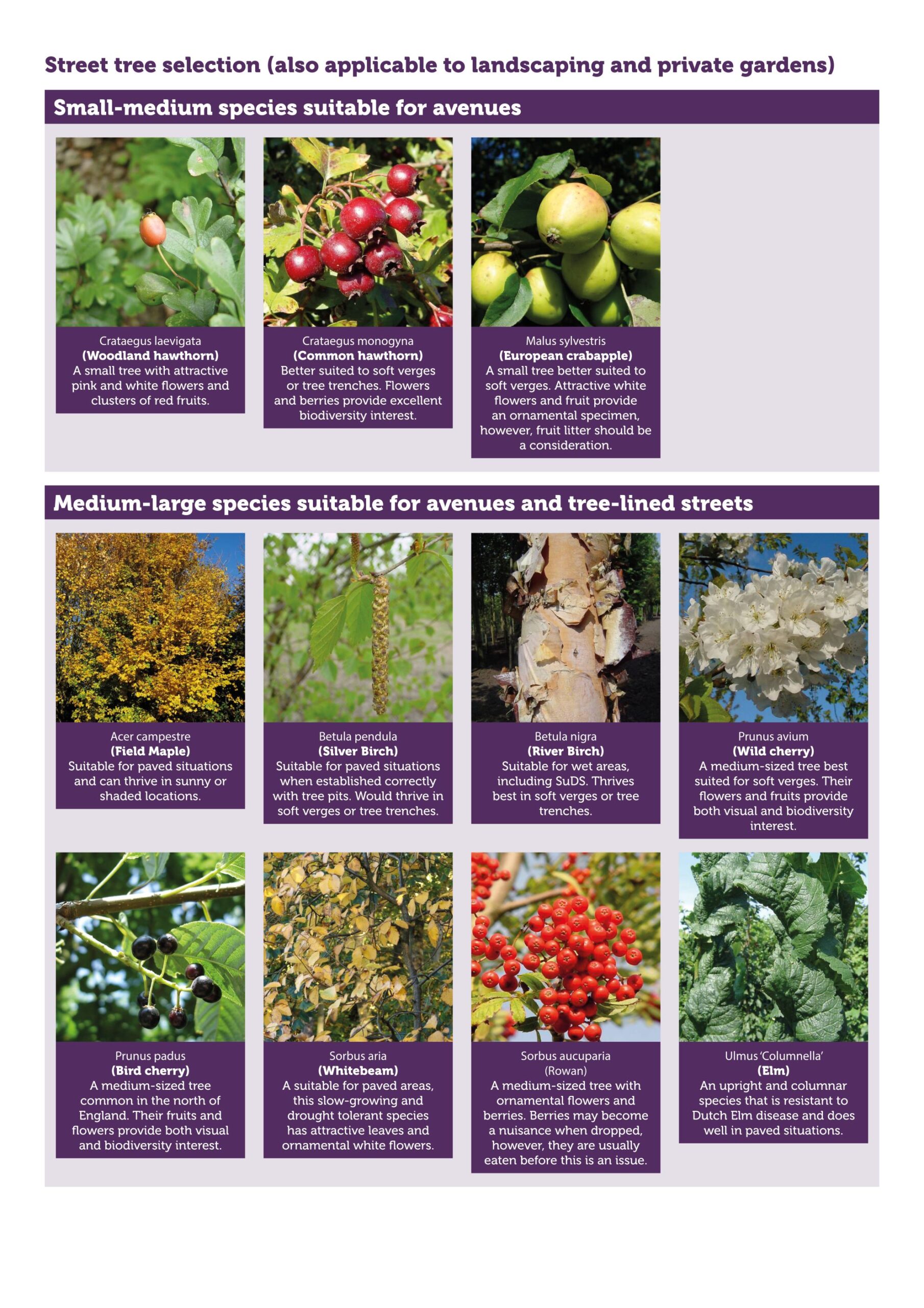
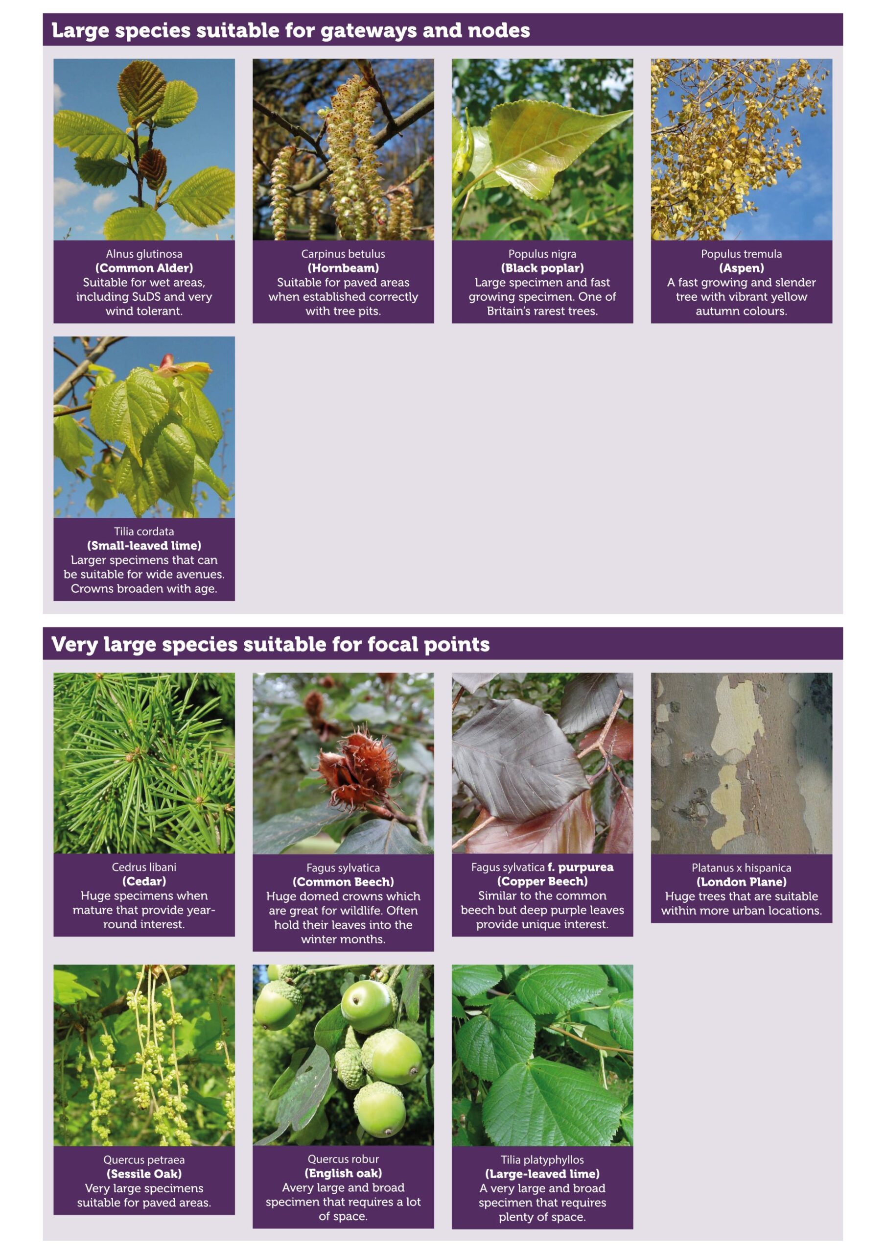
Street trees
All new streets must be tree-lined, as set out within Paragraph 131 of the NPPF.
Native tree species of local provenance must be prioritised. However, species choice will also reflect the site’s constraints, the function the tree will play within the streetscape, and future climatic pressures expected due to climate change.
New street trees must be positioned with sufficient space to allow for full maturity without causing obstructions to access, junction sightlines, lighting and infrastructure.
The positioning of services and street trees must be coordinated at the outset of designs to ensure future interferences are avoided.
Landscaping proposals, including proposals for tree-lined streets and new green spaces, must be integrated with the strategy for sustainable surface water management. Landscaping proposals must evaluate and identify opportunities for sustainable surface water management.
Street trees should be planted in association with kerbside rain gardens or other SuDS measures to minimise water runoff. In instances where street trees are being placed within paved surfaces, developers will need to have regard for best practice in relation to the use of tree pits, guards and grates. The Urban Tree Manual provides best practice guidance on the installation and maintenance of street trees. The maintenance of new streets trees, including watering and staking, will be secured for at least three years following planting to ensure successful establishment.
Designers should use the Tree Species Selection for Green Infrastructure Guide for specifying species. The street tree selection palette of native tree species should also be used to inform planting schemes. However, a creative response to each site’s location and landscape character is encouraged. A diversity of street trees is encouraged to perform a variety of functions and deliver multifunctional benefits. This also enhances provisions for biodiversity and biosecurity resilience.
Developers and applicants should refer to the Standard Conditions for Works Adjacent to Pipelines and consult with United Utilities when delivering landscaping proposals.