


Code
Heritage, design and access statements must refer to the Lake District National Park Landscape Character Assessment and identify the Landscape Character Type, Landscape Character Sub Type and Area of Distinctive Character in which the scheme is located. Once relevant character types and areas are determined, a review of the elements of character type can be carried out. The design of new development must be inspired by and respect landscape character as this will inform the location, layout and design of new development.
Use the Landscape Character Assessment to understand and inform your development proposal by considering:
Landscape Character Type
- Definitive attributes
- Physical character
- Ecological character
- Cultural and historical character
- Development, settlement and building character
- Current and future landscape changes and opportunities, particularly in relation to development
- Guidelines for managing landscape change; and
- Landscape Character Sub Type (if applicable).
Area of Distinctive Character
- Distinctive characteristics
- Local distinctiveness and sense of place
- Landscape sensitivities
- Forces for change; and
- Guidelines for managing landscape change.
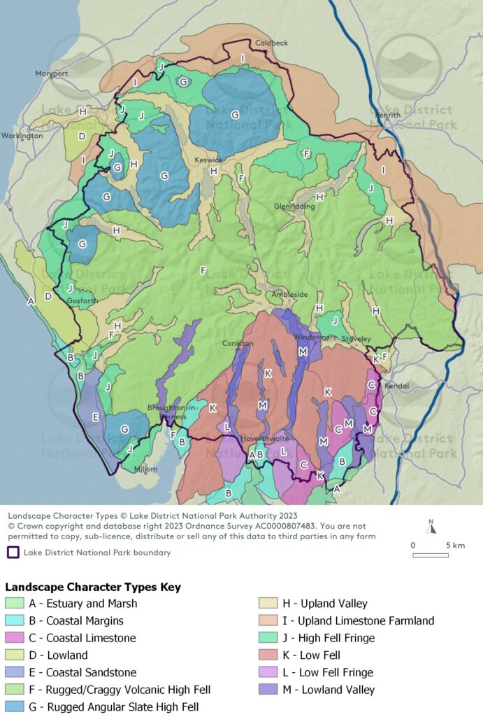
A – Estuary and Marsh
B – Coastal Margins
C – Coastal Limestone
D – Lowland
E – Coastal Sandstone
F – Rugged/Craggy Volcanic High Fell
G – Rugged Angular Slate High Fell
H – Upland Valley
I – Upland Limestone Farmland
J – High Fell Fringe
K – Low Fell
L – Low Fell Fringe
M – Lowland Valley
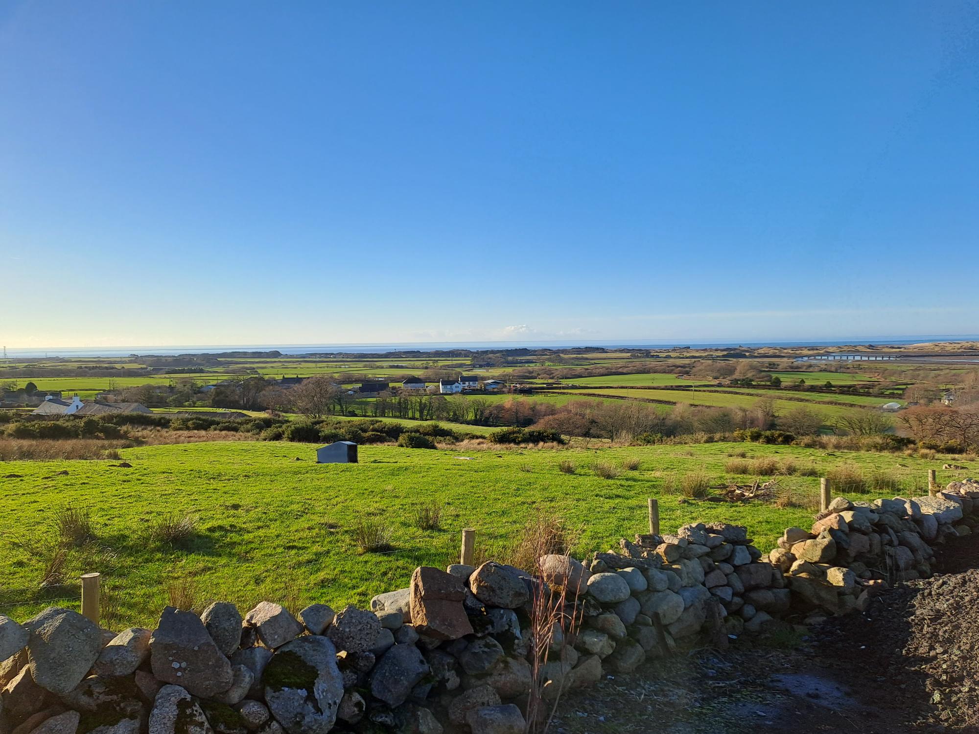
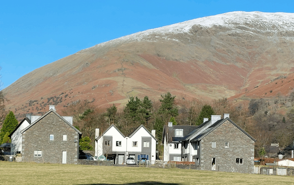
The illustration below demonstrates how landscape character types may affect your development proposal:
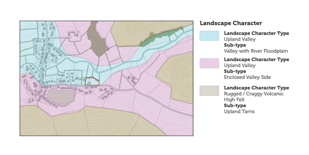
The illustrative map above demonstrates how different landscape character types in the Lake District National Park may affect your development proposal. This includes:
Landscape Character Type: Upland Valley
Sub-type: Valley with River Floodplain
Landscape Character Type: Upland Valley
Sub-type: Enclosed Valley Side
Landscape Character Type: Rugged / Craggy Volcanic, High Fell
Sub-type: Upland Tarns
Site context and assessments
Designations
Applicants need to understand the purpose of designations and refer to relevant national and local policies to ensure developments protect the integrity of these sites.
Code
The heritage, design and access statement must identity whether the proposal falls within, or within the setting of, any other landscape, ecological, cultural and historic sites or designations.
These designations can be seen on our website’s interactive policies map. Applicants can also access interactive mapping through Defra’s Magic website. It is good practice to include a Context Study and Site Assessment as part of the heritage, design and access statement. An example is provided in the site context illustration. The supporting information may help you prepare evidence to support the context study and site assessment.
A Context Study and site assessment should include (as appropriate to the site and development):
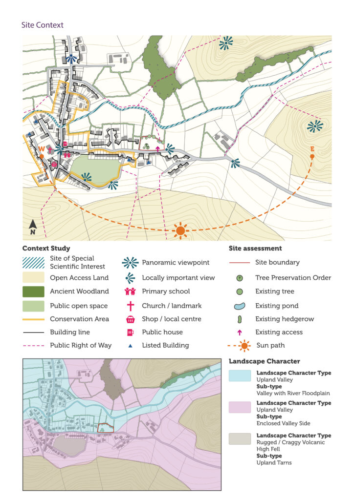
The example illustration above shows what may be included in a Context Study and site assessment. This includes:
Context Study:
- Site of Special Scientific Interest
- Open Access Land
- Ancient Woodland
- Public open space
- Conservation Area
- Building line
- Public Right of Way
- Panoramic viewpoint
- Locally important view
- Primary school
- Church / landmark
- Shop / local centre
- Public house
- Listed Building
Site assessment:
- Site boundary
- Tree Preservation Order
- Existing tree
- Existing pond
- Existing hedgerow
- Existing access
- Sun path
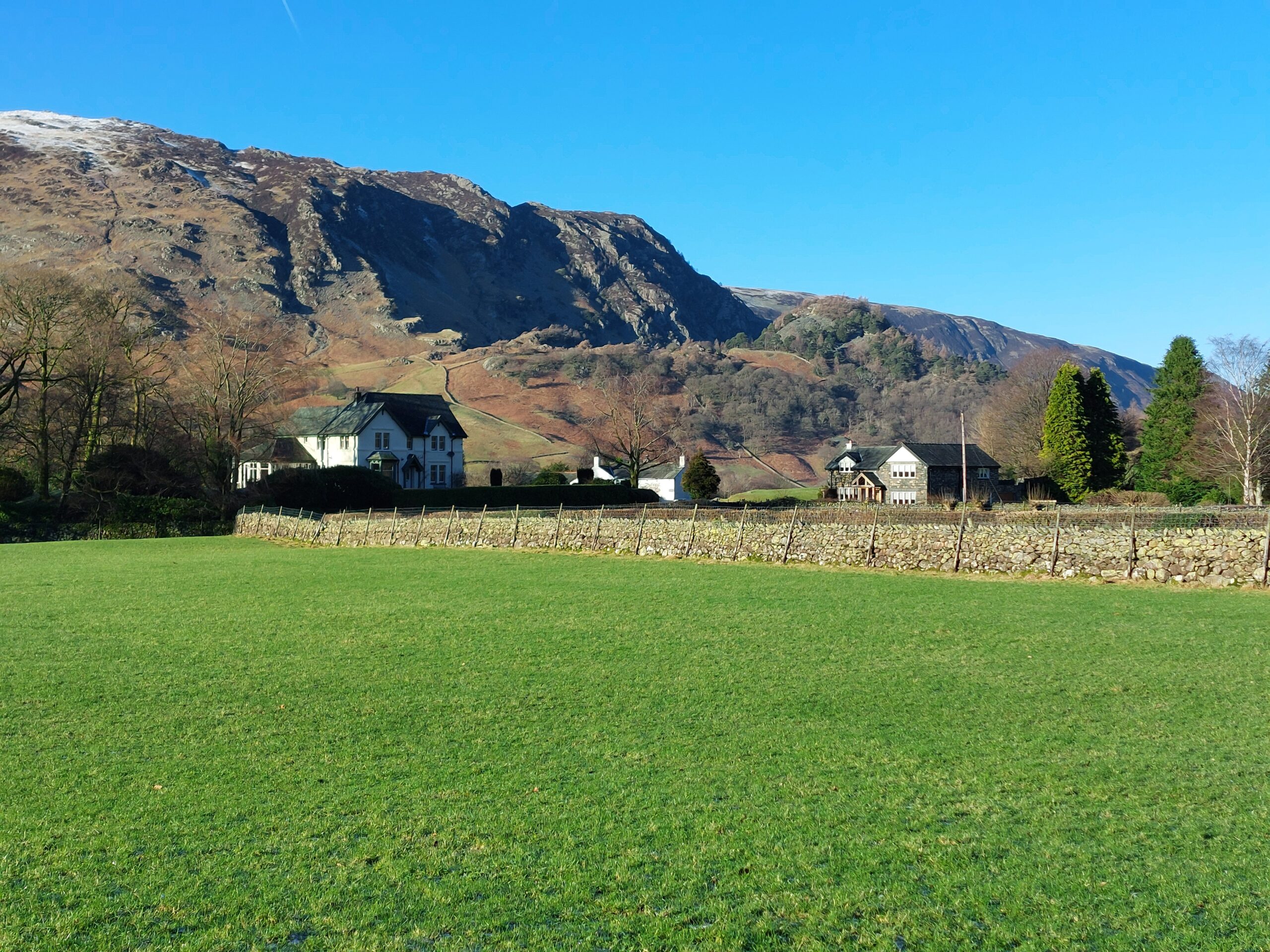
Landscape Character:
- Landscape Character Type: Upland Valley
- Sub-type: Valley with River Floodplain
- Landscape Character Type: Upland Valley
- Sub-type: Enclosed Valley Side
- Landscape Character Type: Rugged / Craggy Volcanic, High Fell
- Sub-type: Upland Tarns
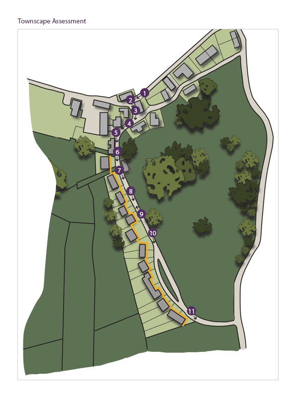
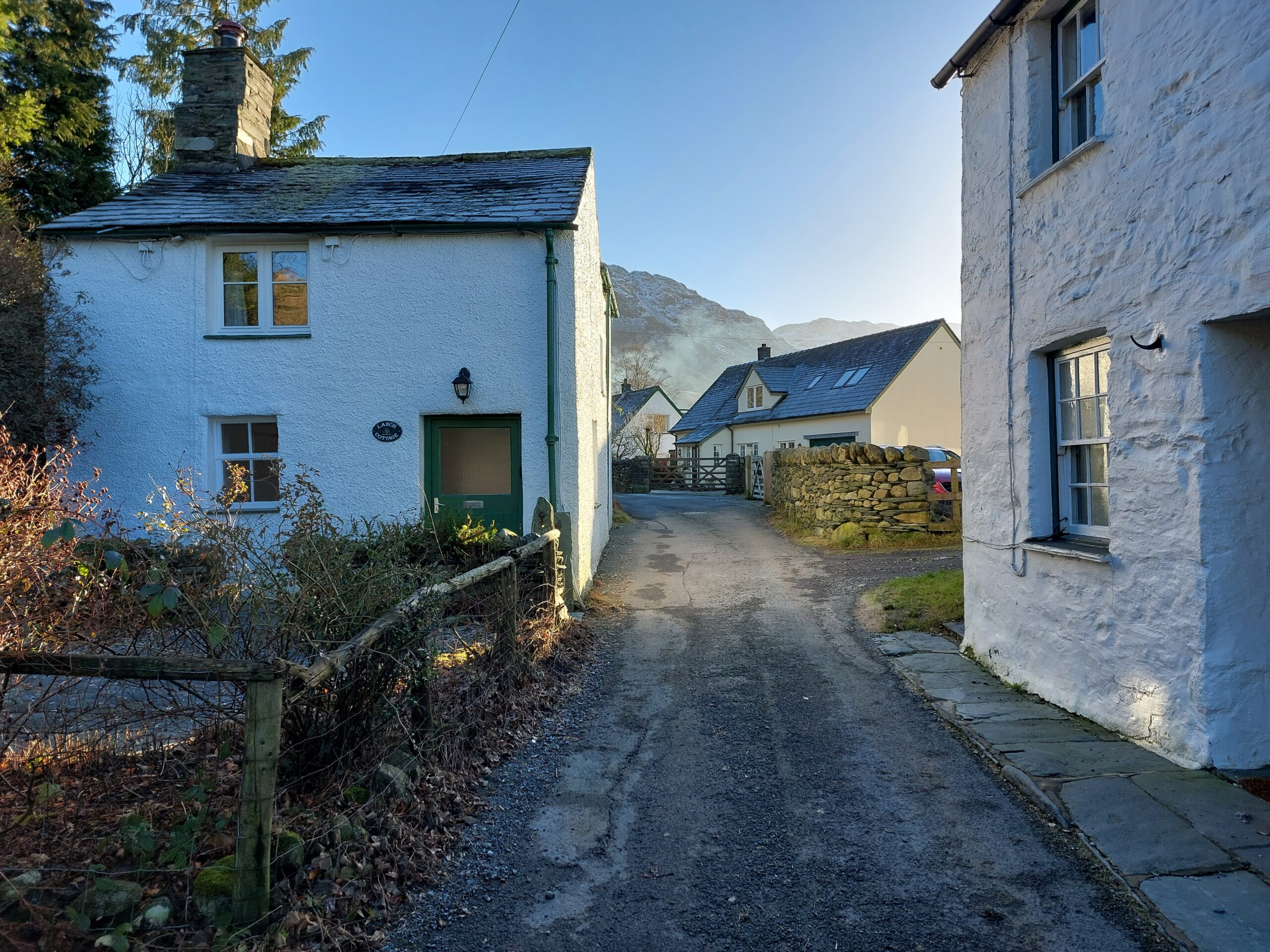
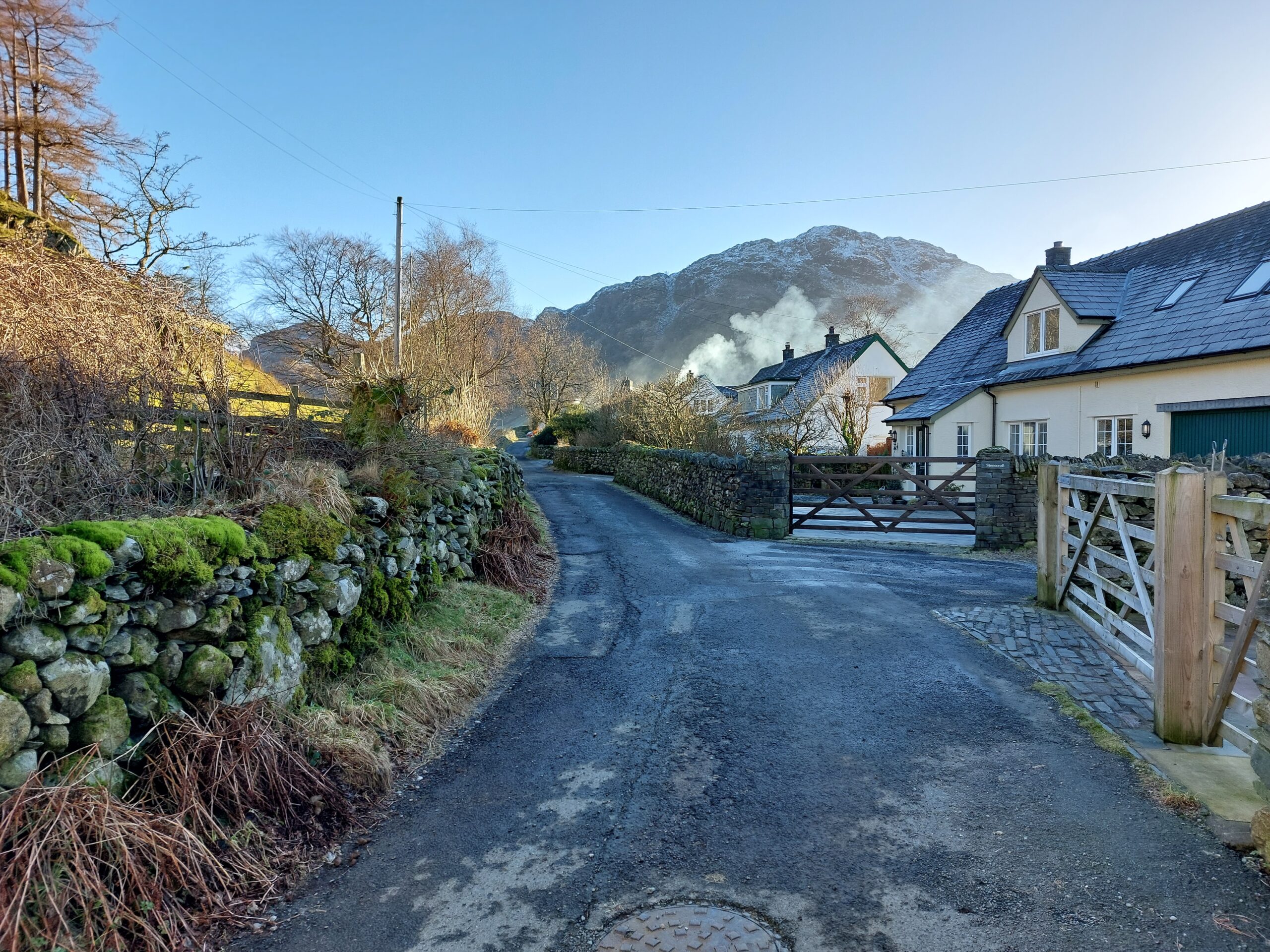
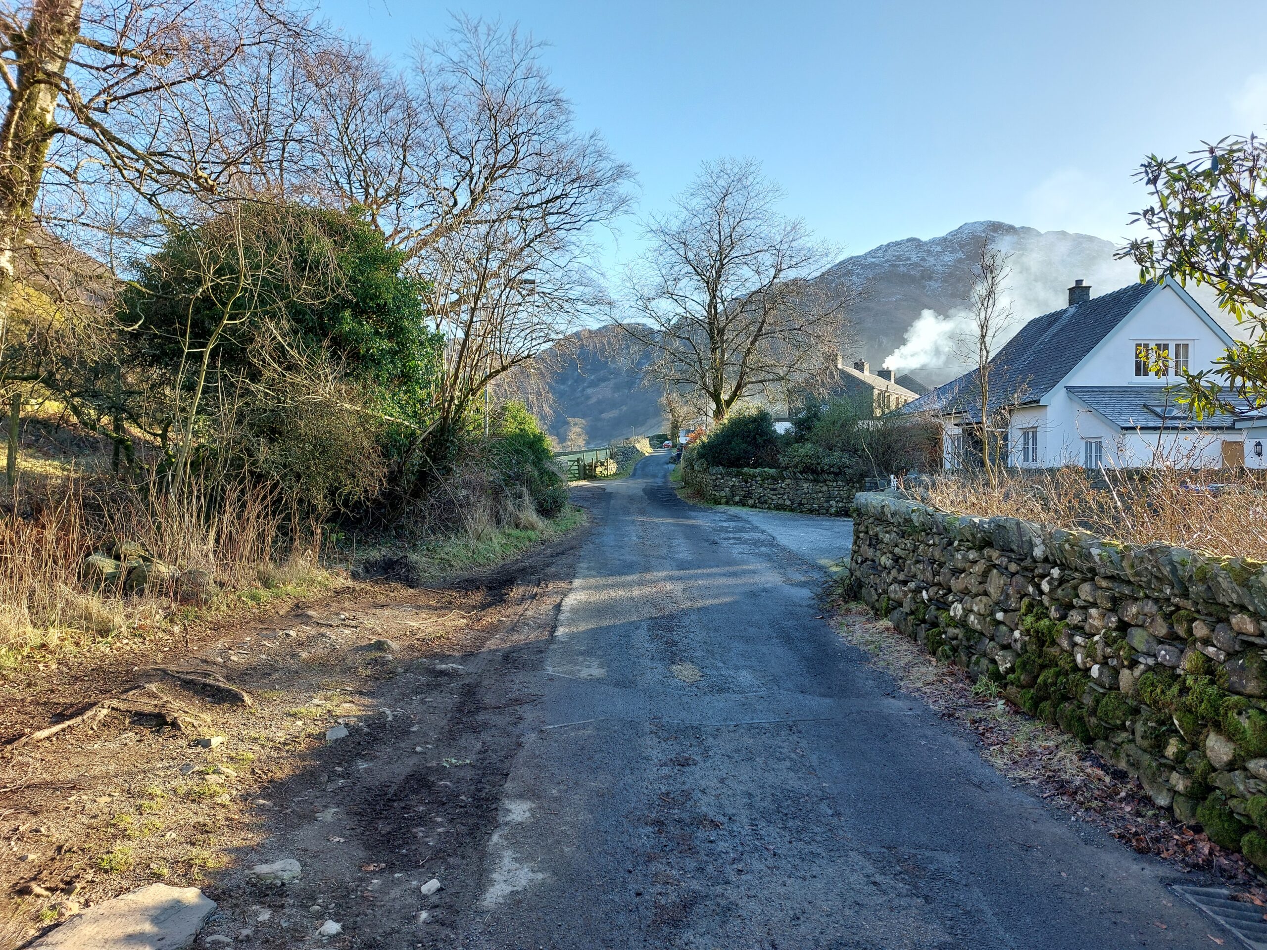
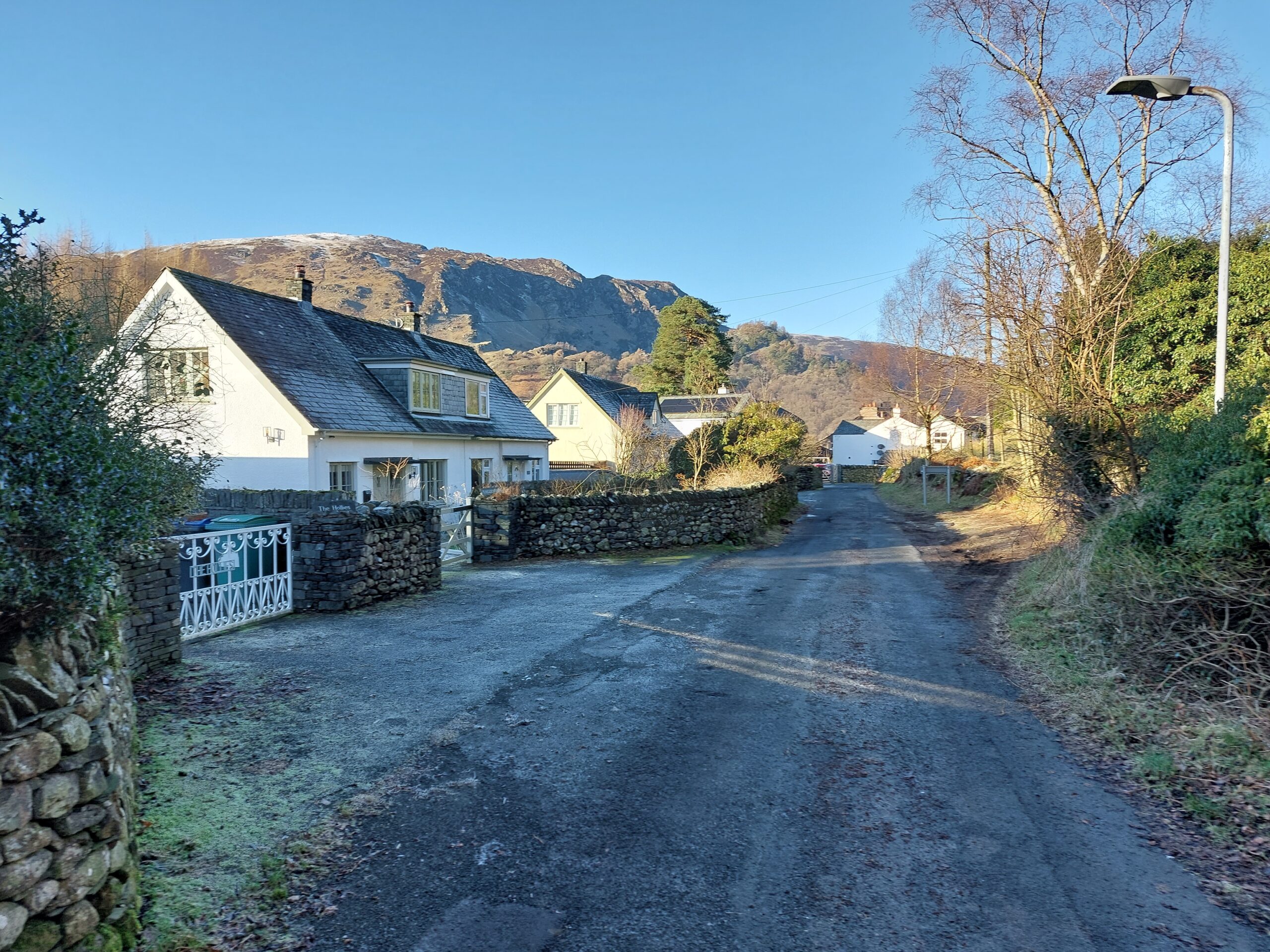
Townscape assessment
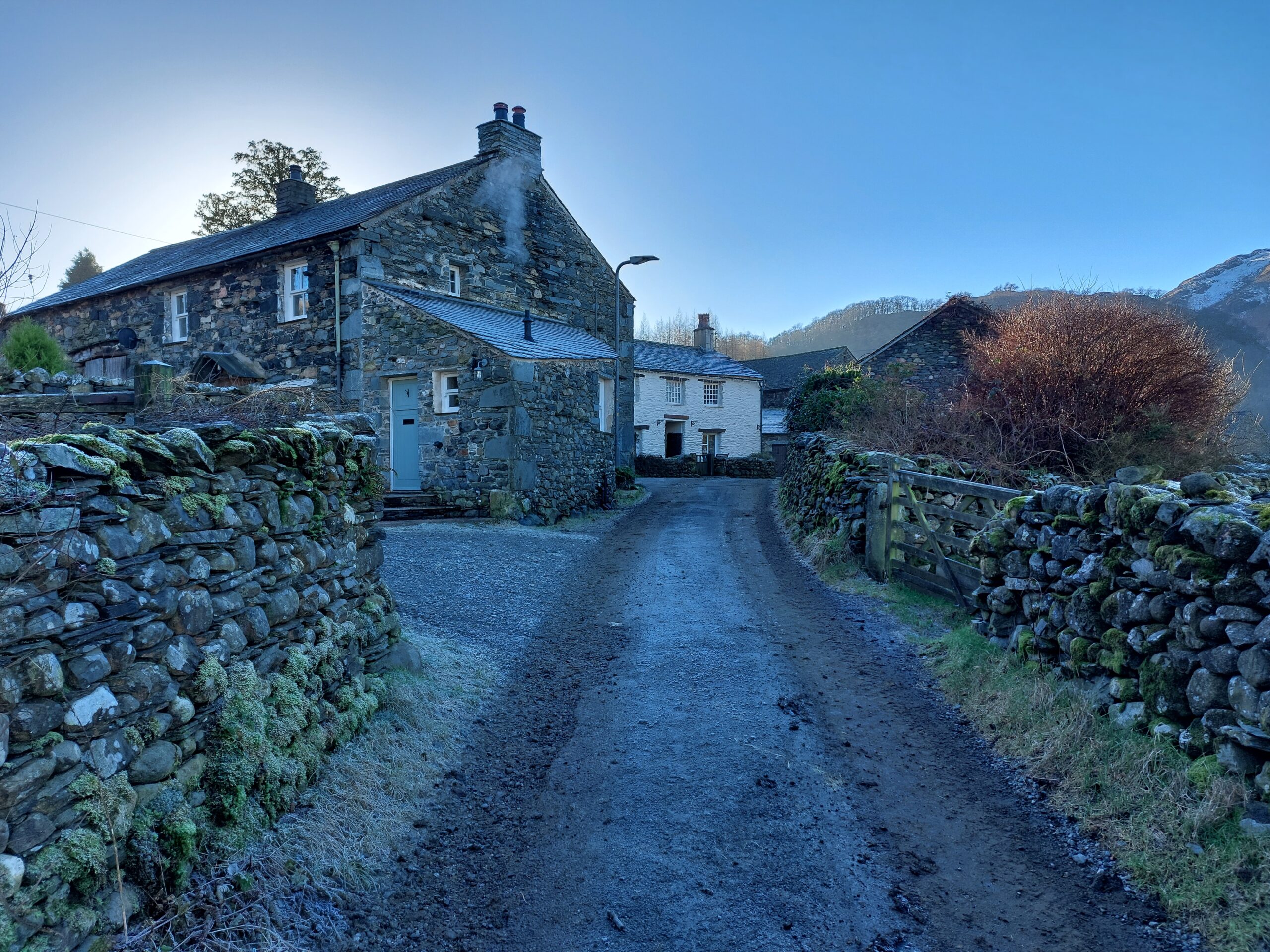
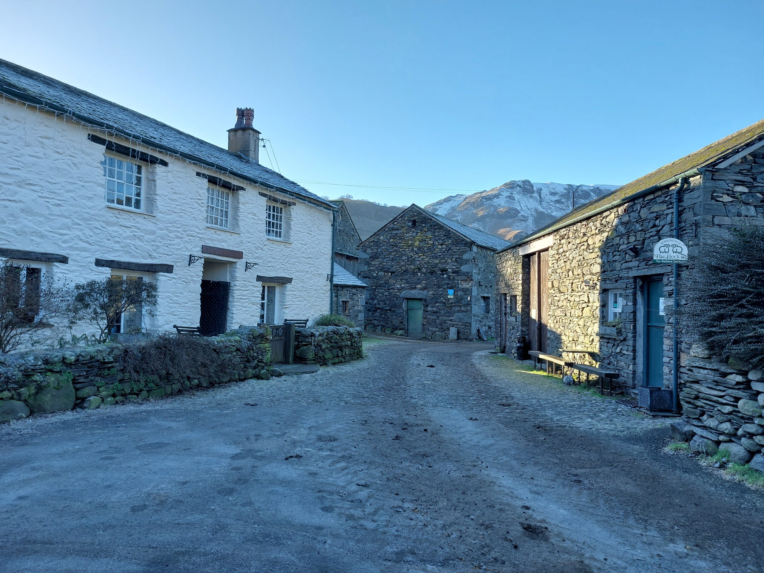
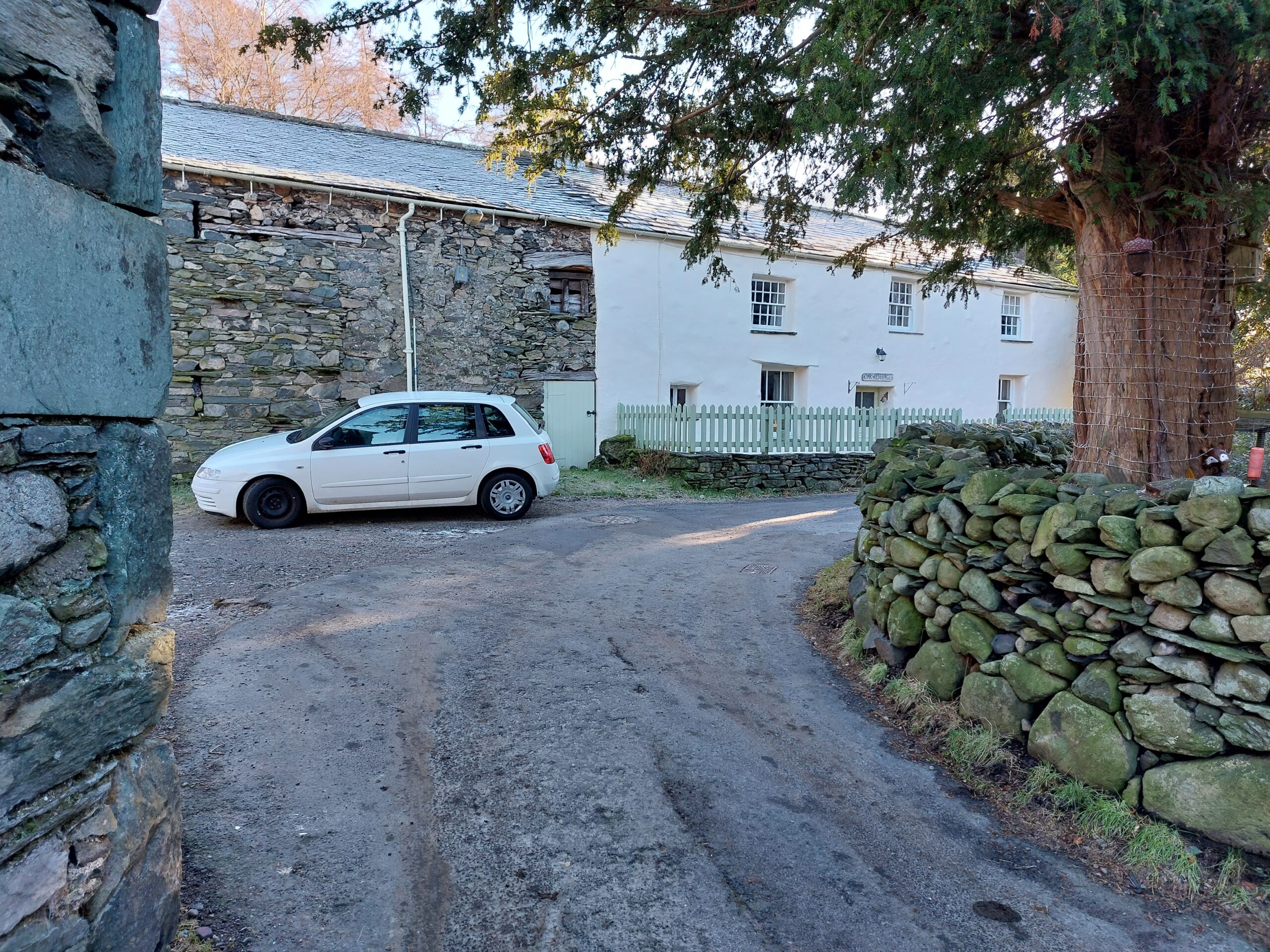
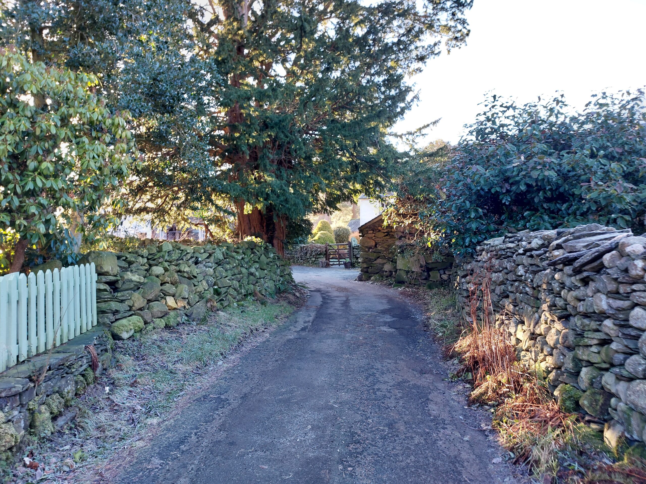
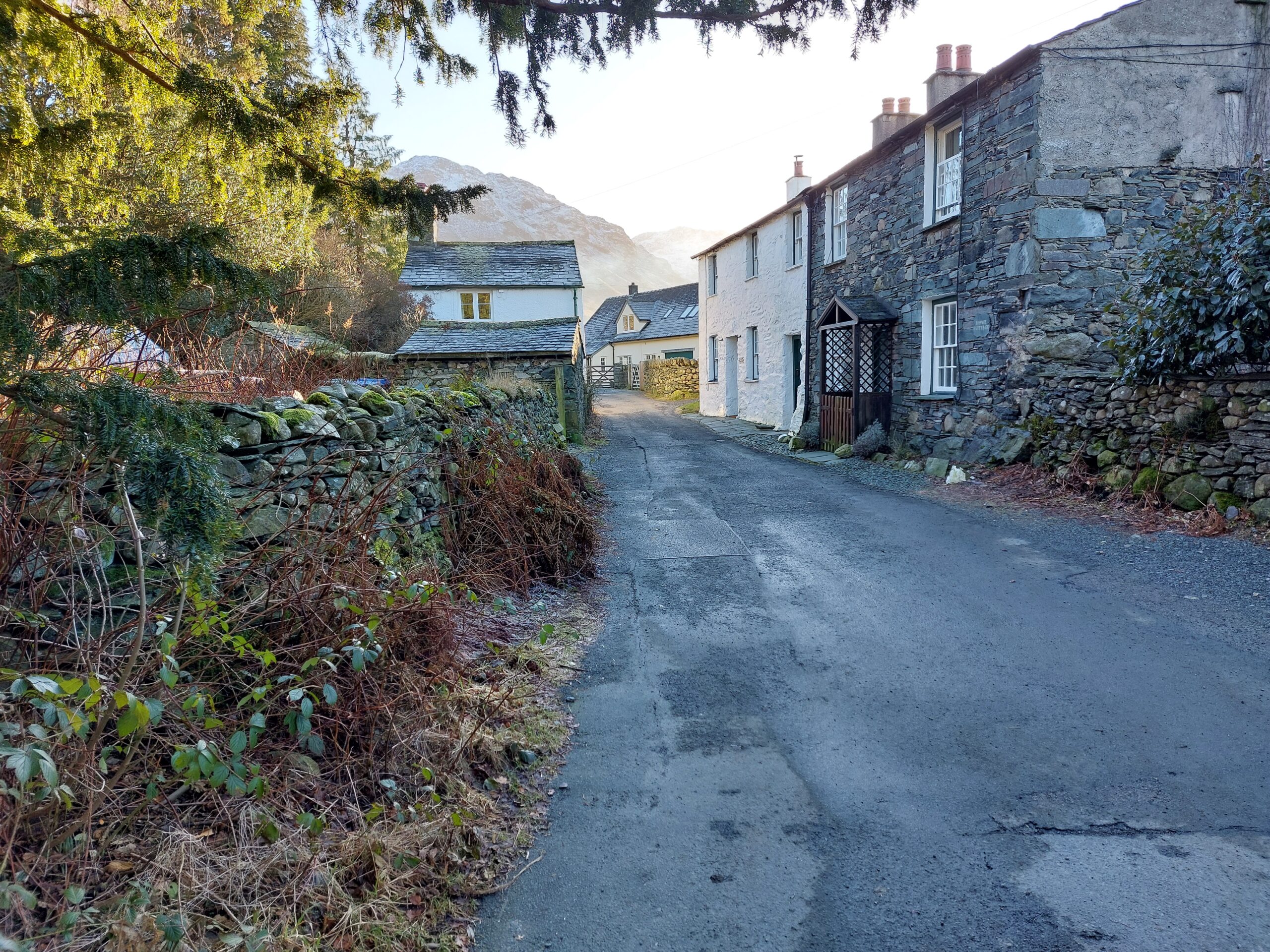
A townscape assessment can also help inform the site context. The numbers on the townscape assessment illustration correspond with the images below.
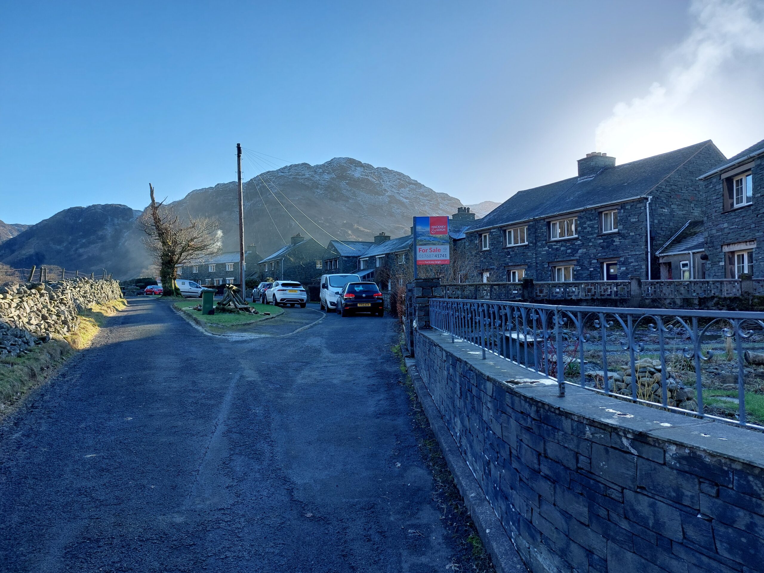
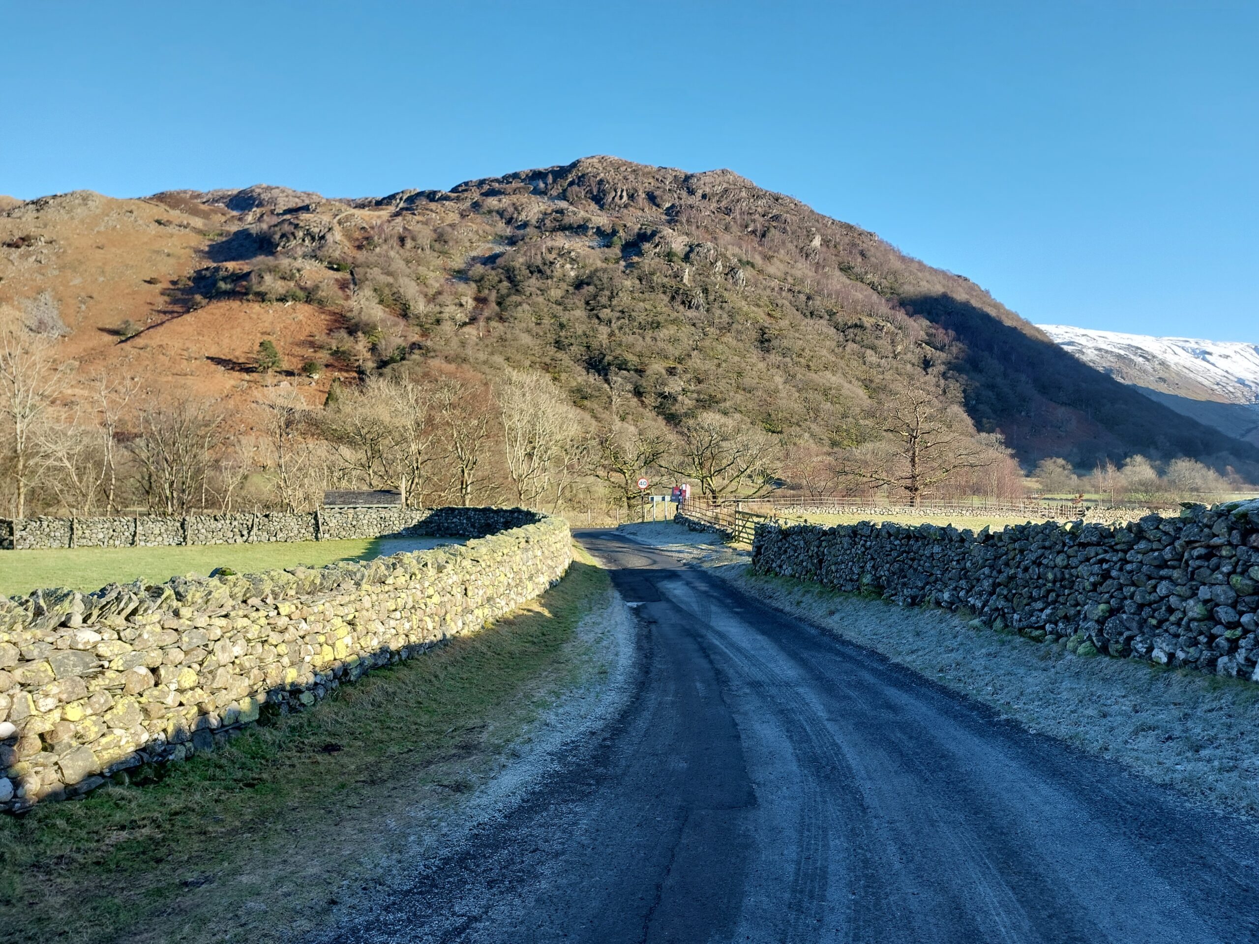
Historic assessment
Code
The applicant must consider how the proposal fits into the existing historic landscape setting. This will include not only consideration of visual intrusion and impacts but also any effects of contextual relationships, such as the link between a village and its medieval field system.
The heritage, design and access statement should include a historic character assessment that clearly demonstrates how the proposal responds to the existing neighbourhood and wider natural and cultural landscape of the area. The degree of detail and complexity of this will be proportionate to the size of the development and sensitivity of the site.
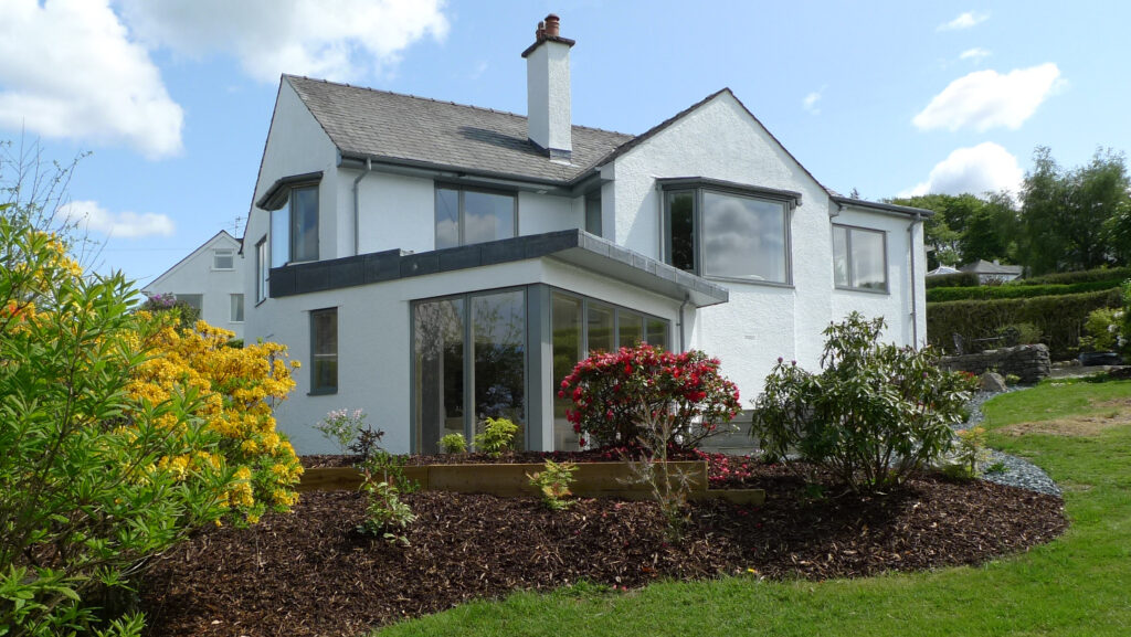
At the end of the process the applicant will be able to demonstrate how their proposal actively responds to the distinctive character and identity of an area and has been influenced by local building materials, scale and form, vernacular traditions and settlement pattern.
If the site is in an area covered by a Neighbourhood Plan or Conservation Area Management Plan in place, the proposed development should respond to any relevant design considerations provided in these documents. See Understanding Place: Historic Area Assessments (2017) (PDF) for further guidance
The example Historic Character Assessment illustration shows what a typical assessment would include:
- A discussion on location and landscape setting
- Historic layout and street pattern – how the area has changed over time based on historic map analysis
- Influence of local geology and topography e.g., agricultural practices, building material, settlement location
- How the settlement relates to the surrounding countryside e.g., fields, back plots, access routes
- Roads, railways and other communication routes
- Built form and changes in architectural style over time
- Existing and historic views and vistas, especially leading in or out of a settlement
- Building materials and detailing
- Open spaces, landscapes and trees
- Public realm areas – including street furniture, lighting, boundary walls
- Local landmarks
- Intangible elements which contribute to the areas ‘sense of place’ like a noisy marketplace or serene churchyard
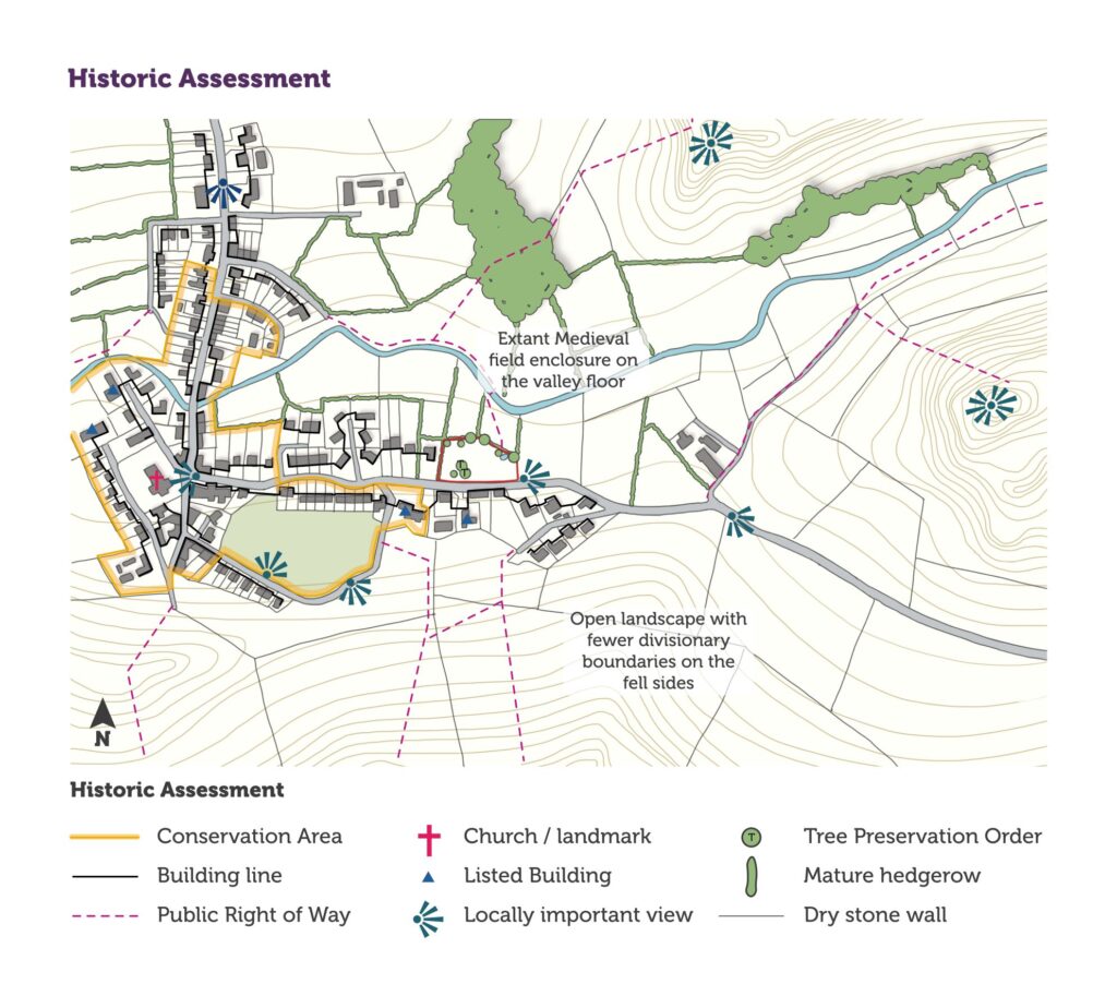
The example illustration above shows what may be included in a Historic Character Assessment. This includes:
- Extant Medieval field enclosure on the valley floor
- Open landscape with fewer divisionary boundaries on the fell sides
Historic Assessment:
- Conservation Area
- Building line
- Public Right of Way
- Church / landmark
- Listed Building
- Locally important view
- Tree Preservation Order
- Mature hedgerow
- Dry stone wall
Heritage assets
Code
New development must consider potential impacts on heritage assets (both designated and non-designated). This should be conducted early in the development process to inform overall design and identify possible constraints.
The heritage, design and access statement must clearly demonstrate an understanding of the significance and setting of any heritage assets affected by the proposal. Potential impacts (both direct and indirect) on that significance must be reviewed.
The degree of detail and complexity of this assessment will depend on the size of the development and sensitivity of the site. However, it should be suitable to enable an informed planning decision and not be simply a list of sites and features.
The assessment must include:
- Designated heritage assets: Scheduled Monuments, Listed Buildings, Conservation Areas, Registered Parks and Gardens, etc. (details can be found on the National Heritage List for England (opens new website), our Local Plan interactive map and the UNESCO World Heritage List (opens new website)).
- Non-designated heritage assets – properties on the Local List, archaeological sites, boundaries, historic street furniture, milestones, etc. (details can be found on the Historic Environment Record (HER) (opens new website).
- The potential for any heritage assets not yet recorded, included below ground archaeology
- Discussion on how the development will affect the setting of a heritage asset must be included. This goes beyond a consideration of purely visual impacts to look at how change effects the way an asset is understood and experienced e.g., impact of increased traffic on the peace and quiet of a churchyard, or the design of a farm conversion on the agricultural identity of a farmstead or hamlet.
See our guidance on Heritage Assessment and Information Requirements (2018) (PDF) and Historic England’s Statements of Heritage Significance guidance (PDF) for further information.
Need help accessing this information?
If you need help accessing or understanding this information, please get in touch and we’ll be happy to help.
To speak to someone about accessibility or additional needs, visit our Contact page or call us on 01539 724555 for general enquiries.

