Code
The impact of the proposal on heritage assets must be considered at the start of the design process because it determines whether you need to submit a Heritage, Design and Access Statement as part of your planning application.
The assessment must include:
- Designated heritage assets: scheduled monuments, listed buildings, conservation areas, registered parks and gardens (details of these different assets and their locations can be found on the National Heritage List for England, the Local Plan interactive map and the World Heritage Site website).
- Non-designated heritage assets – buildings on the local list, archaeological sites, boundaries, historic street furniture, milestones, etc. (details can be found on the Historic Environment Record (HER) or the Neighbourhood Plan where these exist),
- The potential for any heritage assets not yet recorded, included below ground archaeology.
If your assessment does not identify any heritage assets on the site and the proposal would not affect a nearby heritage assets, you do not need to submit a Design, Heritage and Access Statement. If this is the case, we recommend that you consider the rest of this section to ensure design responds to its context before moving on to the rest of the code.
If your assessment identifies at least one heritage asset that would be affected by your proposal, you will need to submit a Heritage, Design and Access Statement and follow the rest of the code in this section before moving on the rest of the code.
Where a heritage, design and access statement is required, this must clearly demonstrate an understanding of the significance and setting of any heritage assets affected by the proposal. Potential impacts (both direct and indirect) on that significance must be reviewed. Harm to heritage assets must be avoided, where this is not possible a clear and convincing justification will be required.
In the case of an extension or conversion to a listed building, historic farmstead or non-designated building in a conservation area, the applicant must provide a detailed in-depth analysis of the significance and setting of the heritage asset(s) affected. This is likely to require either a fabric appraisal or analytical historic building survey, depending on the nature of the proposal.
The applicant must demonstrate how the design responds sensitively to heritage significance, including the use of building material, construction techniques, design cues and landscaping.
The degree of detail and complexity of this assessment will depend on the size of the development and sensitivity of the site. However, it should be suitable to enable an informed planning decision and not be simply a list of sites and features.
Discussion on how the development will affect the setting of a heritage asset will need to be included. This goes beyond a consideration of purely visual impacts to look at how change effects the way an asset is understood and experienced e.g., impact of increased traffic on the peace and quiet of a churchyard, or the design of a farm conversion on the agricultural identity of a farmstead or hamlet.
See our guidance on Heritage Assessment and Information Requirements (2018) for further information.
The applicant is required to pay particular attention to how changes to the setting of any heritage asset(s) could impact significance. Note that levels of public accessibility have no bearing on the extent of setting.
Context and assessment
Code for designations
Heritage, design and access statements must identity whether the proposal falls within, or within the setting of, any landscape, ecological, sites or designations.
These sites and designations can be seen on our website’s interactive policies map. Applicants can also access interactive mapping through Defra’s Magic website. It is good practice to include a Context Study and Site Assessment as part of the heritage, design and access statement. The supporting information may help you prepare evidence to support the context study and site assessment. A Context Study should include (as appropriate to the site and development):
Context
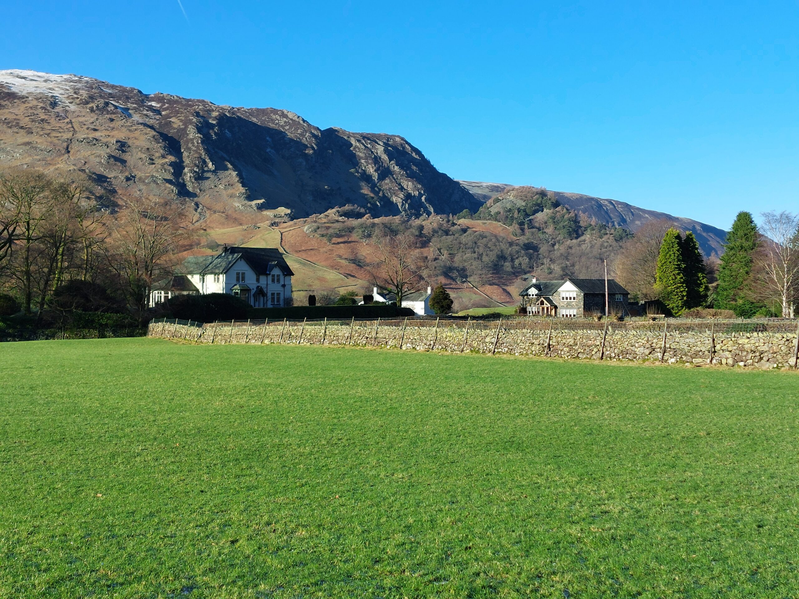
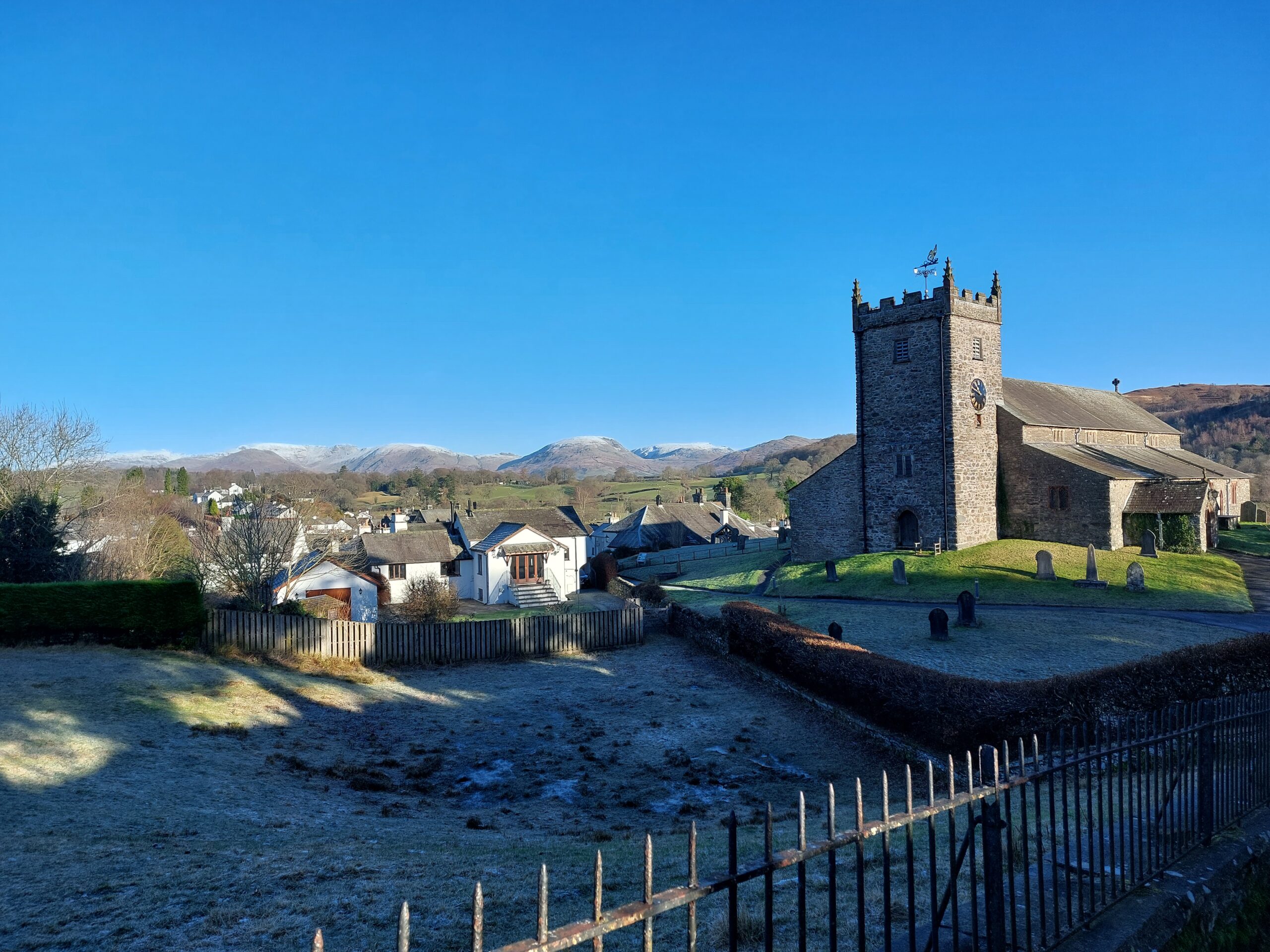
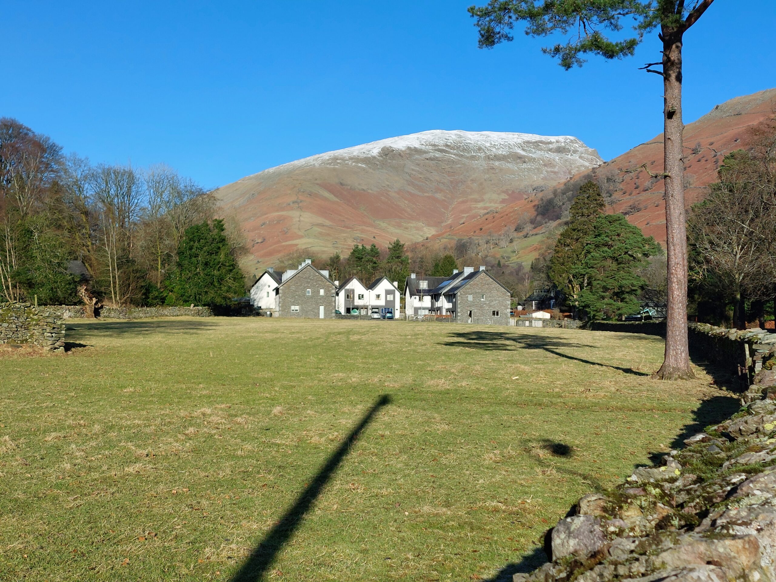
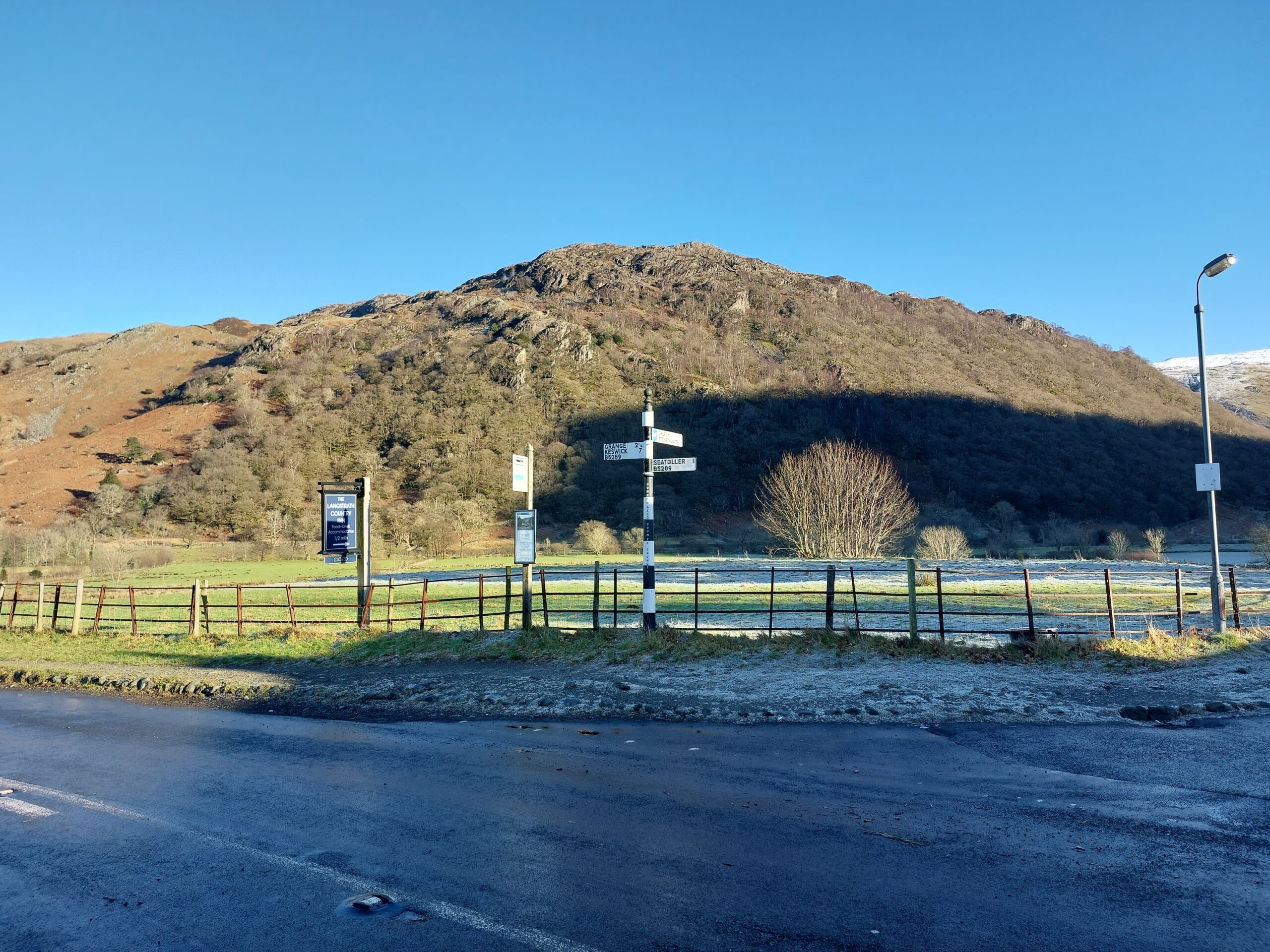
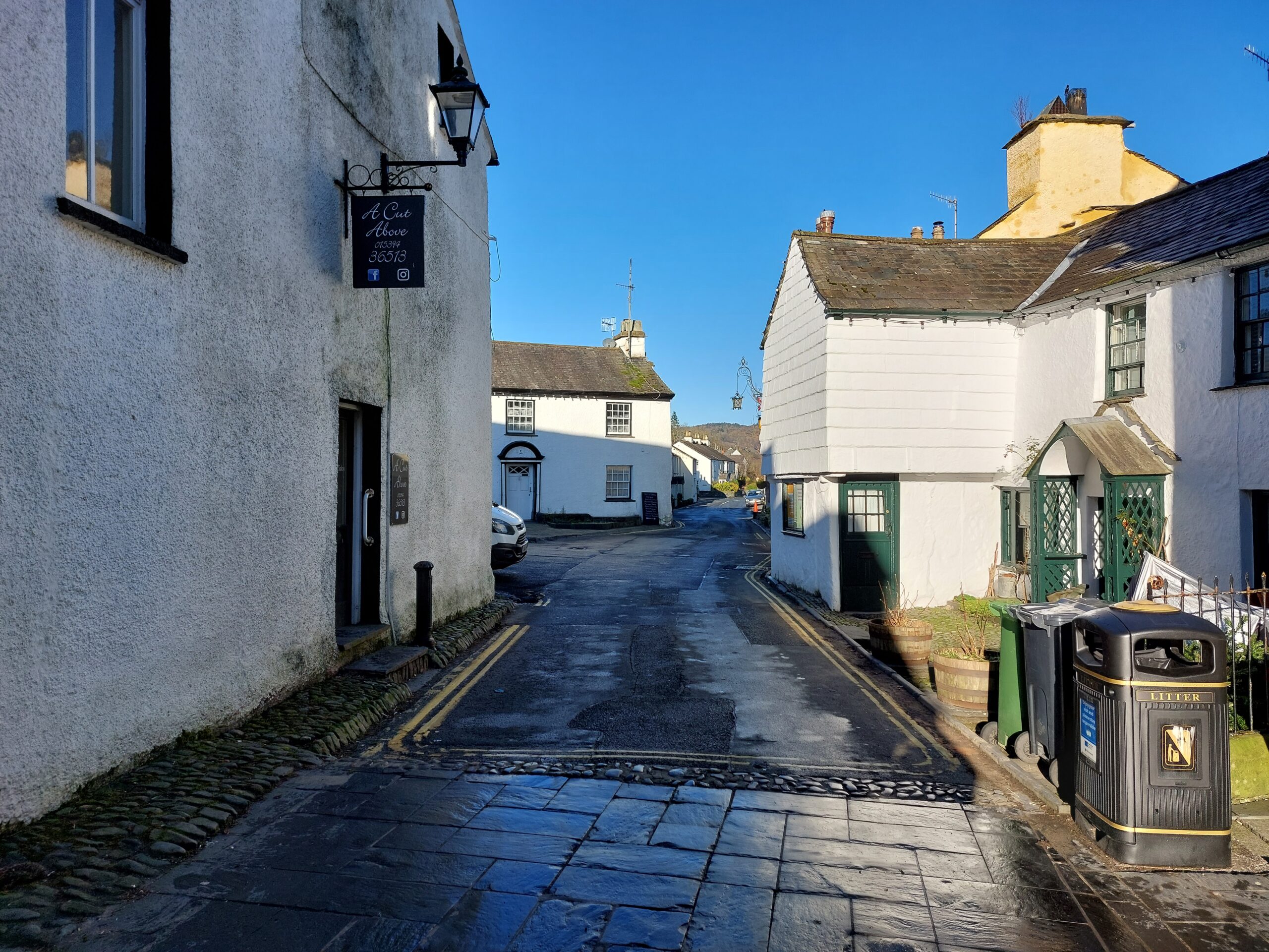
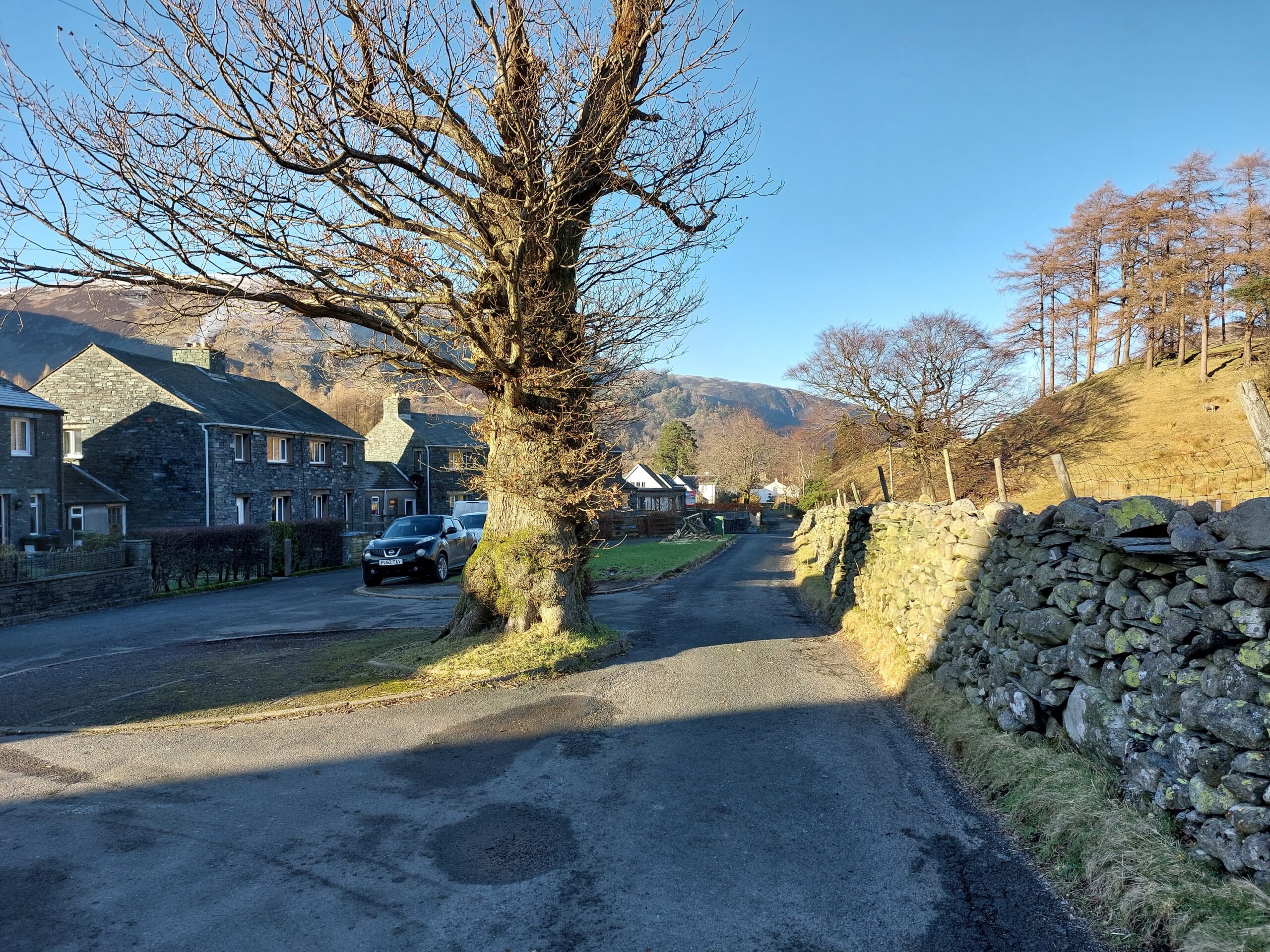
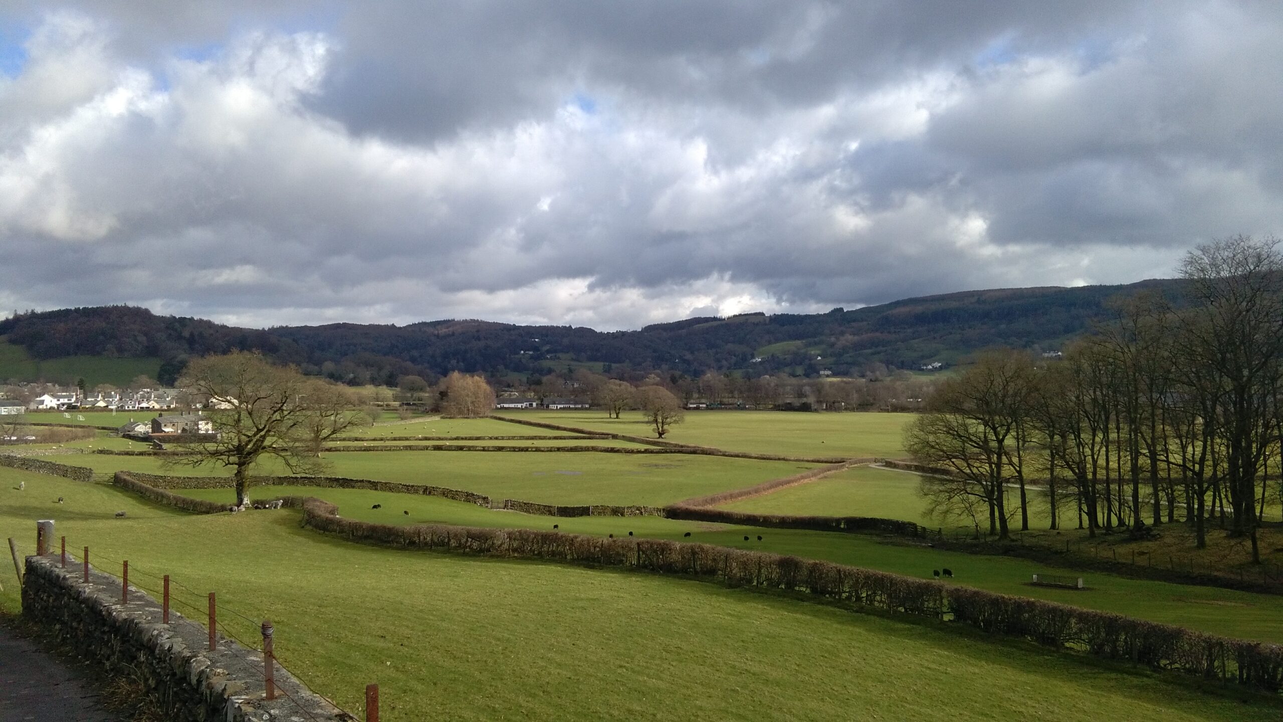
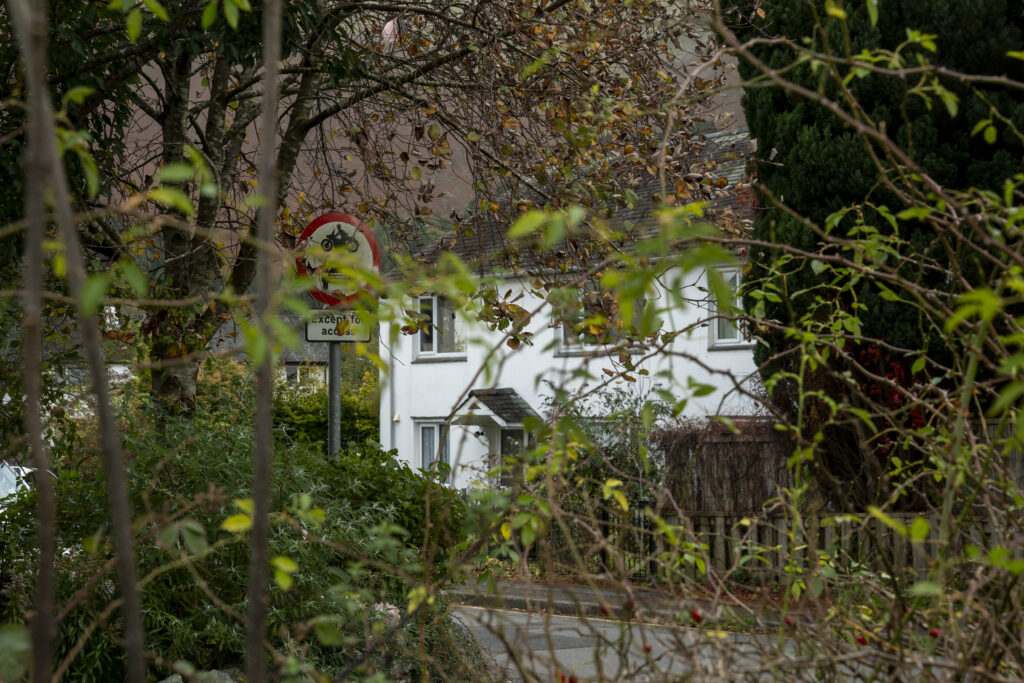
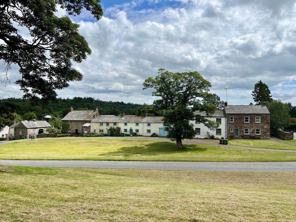
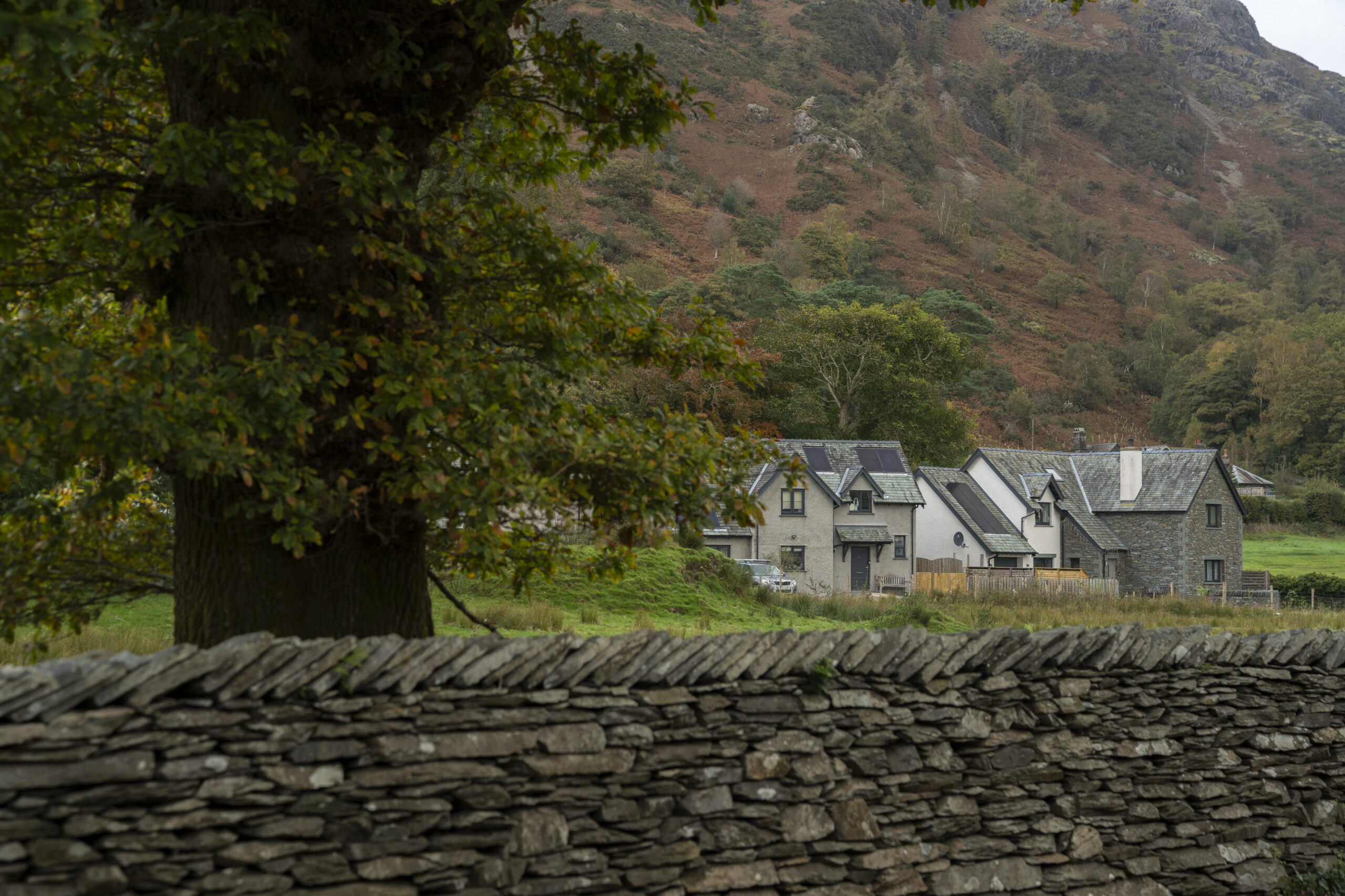
What is the settlement character of the surrounding area? For example, rural, hamlet or rural village, large village, market town.
How well-lit is the place? Does it have street lighting? What other forms of lighting are there? Is light pollution a problem?
Nature
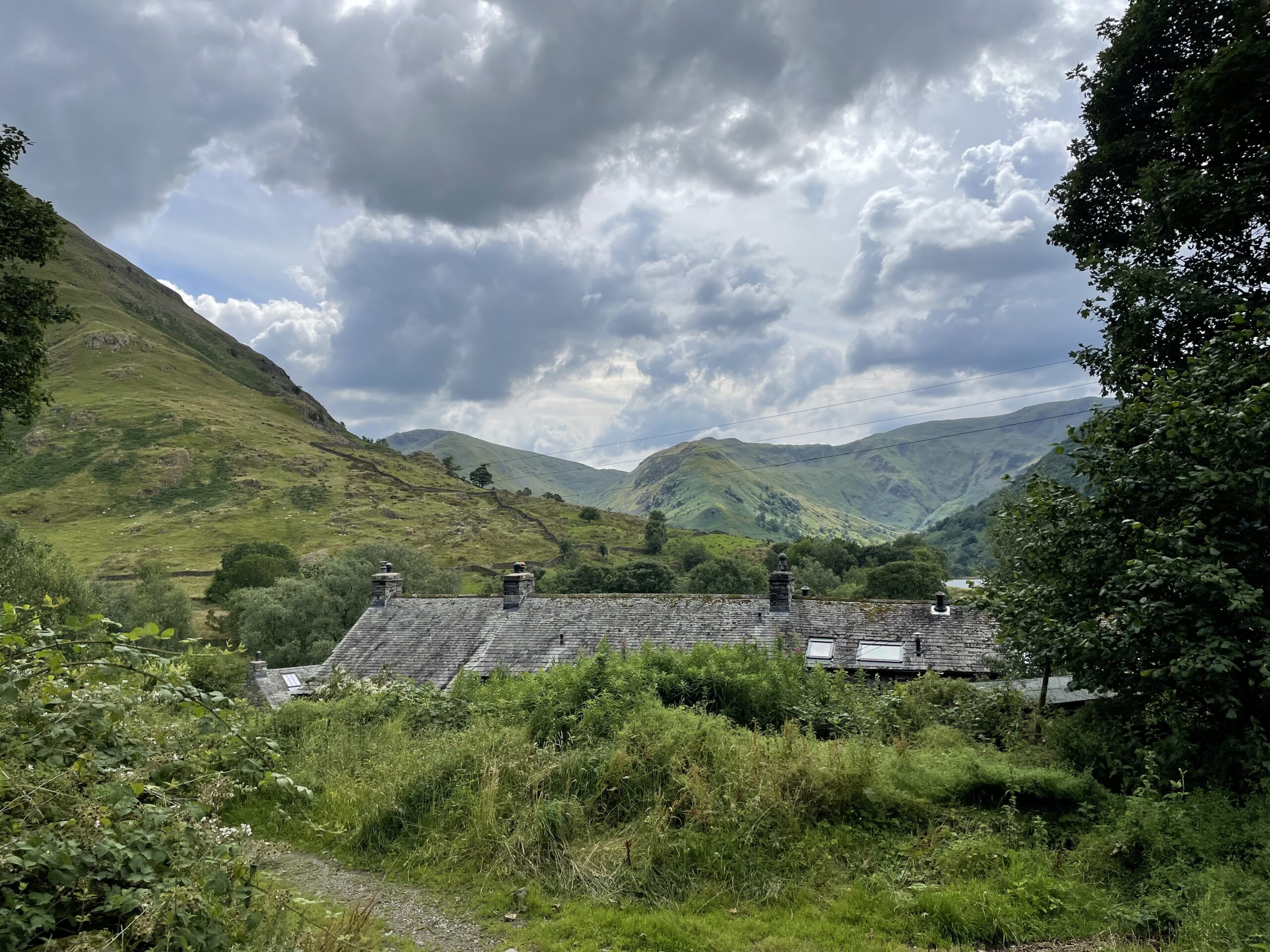
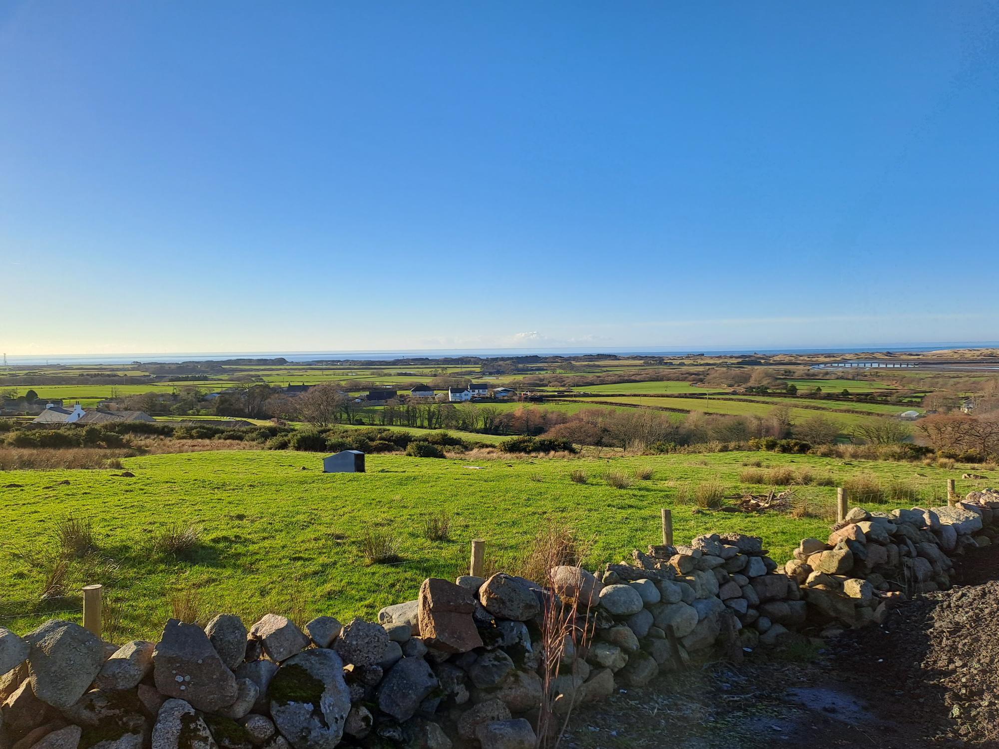
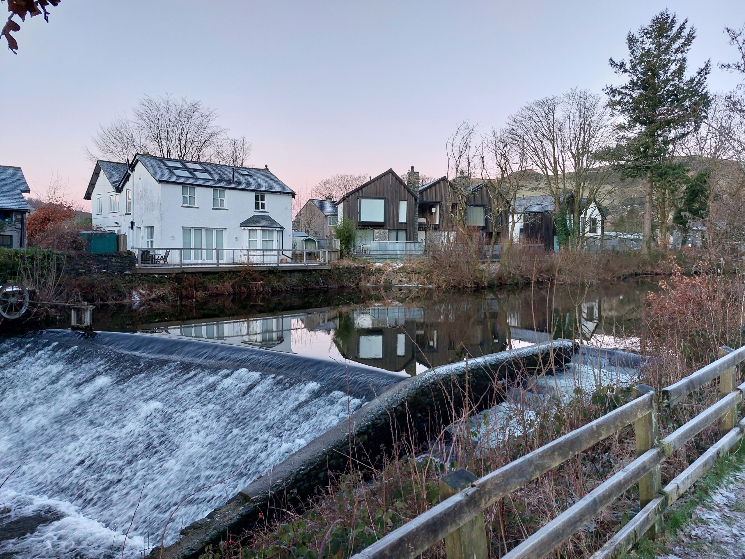
What are the current landscape and natural features within the surrounding area? This can range from trees and hedges on neighbouring properties to green spaces, lakes, woodlands and high fells within the surrounding area.
Are there any priority habitats and species (national or local) or designated ecological sites within the surrounding area?
Built form
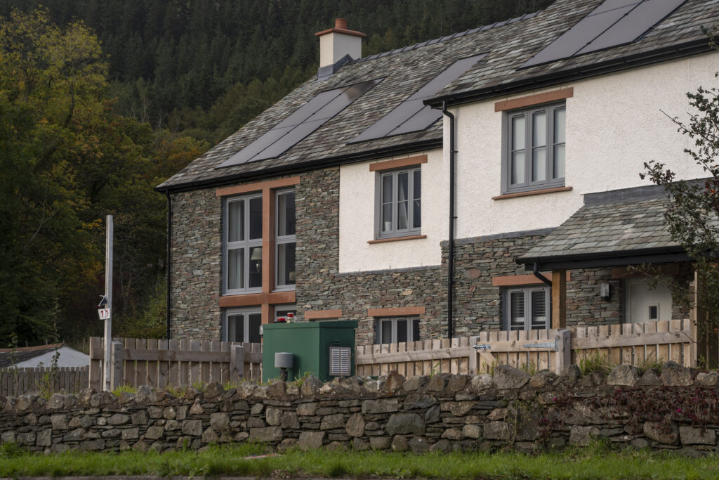
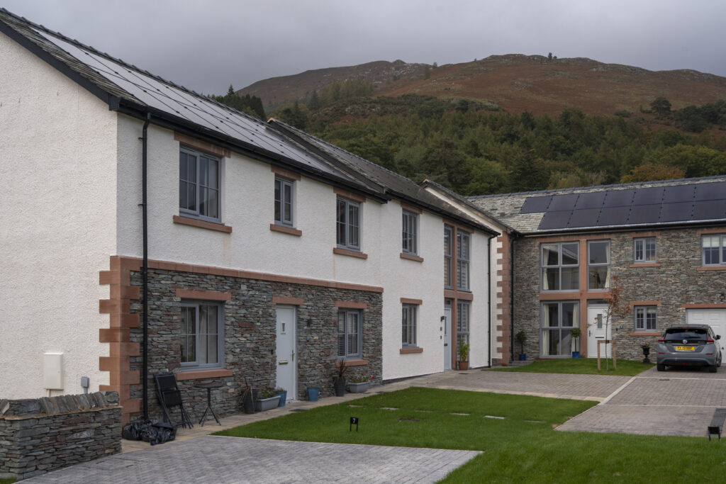
What is the current density, urban grain and plot ratio of built form in the surrounding area? What building types are most common, for example detached, semi-detached, terraced etc.?
How are boundaries treated within the surrounding area? For example, dry stone walls, hedges, fences etc. Are any of these boundary treatments unsuccessful?
What are the current building lines of surrounding settlement? Are they uniform or staggered?
Do building frontages define the building line or are front gardens present?
What is the roofscape of the surrounding settlement, including rooflines?
What are typical building heights within the surrounding area?
Identity
Are there any notable views or vistas within the surrounding area? Are there any notable views into and out of the site?
What is the current visual amenity of the surrounding area, i.e., the views and surroundings which create the backdrop to the area?
What is the local building vernacular?
What architectural details are common within the area? What is the proportion of these features?
What buildings materials are common, both for walls and roofs, within the surrounding area? Are there any local variations in colours, textures, shapes and patterns?
Other considerations
Access points – How do access points relate to surrounding movement patterns, including by foot, bike and vehicle? Are there any rights of way through the site?
Landscape & ecology – Are there any existing natural features on site, for example trees, hedgerows, watercourses, ponds, other significant habitat? What is the boundary treatment of the site? How can these features be retained or enhanced? Are there any Tree Preservation Orders on site?
Topography – How does topography influence the layout of the site, drainage and both inward and outward views?
Drainage – How well does the site drain and can this provide an opportunity for SuDS and wildlife? Does the site adjoin a watercourse? Is the site prone to flooding?
Existing structures – Are there any existing structures on the site and what is the historic value of these structures? Are there opportunities to retain these structures or re-purpose materials? If demolition is required what is the reason for this?
Existing utilities – Are there existing utilities on site that will need to be considered in site layout?
Ground conditions – What is the geology of the site and is it permeable? What were previous land uses on the site? Is there the potential for contaminated land? Is the site likely to be of archaeological interest?
Noise & air quality – Is there the potential for noise and air pollution to affect future occupiers of the site?
Orientation – How does the path of the sun affect conditions on site and outward views? What is the existing microclimate on the site? Is there an opportunity to accommodate solar panels on the site to generate renewable electricity?