Ambleside shops and houses copyright Dave Willis

Ambleside Conservation Area

Why is Ambleside special?

Ambleside started as an early medieval settlement on the brow of a small promontory between Stock Ghyll and Scandale Beck. In the 17th century it developed further at the foot of the hill because of  the town’s extensive wool trade and burgeoning water-powered industrial economy. The growth of the tourist trade stimulated by construction of turnpike roads from the 1760s and the arrival of the railway in Windermere in 1847, meant it expanded south- and westwards

It's attractive architectural and historic character includes:

General

  • Complex street pattern partially overlaid and extended by 19th century road construction with a network of roads, streets, narrow lanes, ginnels and back lanes
  • Rural setting of the town nestling closely under the fells with a sunny south-facing aspect surrounded by fells to north, east and west and a lake to the south
  • Formal, planned 19th century redevelopment of the town centre together with suburban expansion of villas, semi-detached houses and terraces of Victorian stone built houses
  • Attractive outward views to surrounding fells, especially Loughrigg Fell
  • Architectural and historic interest of the area’s buildings, including 38 listed buildings dating from the 17th, 18th and 19th centuries
  • Good examples of Lakeland local vernacular architecture, plain18th century dwellings and Victorian suburban building
  • Large purpose-built hotels and guesthouses as testimony to the 19th century tourist industry
  • Historic associations with many notable figures including William Wordsworth,  Charlotte Mason and Harriet Martineau
  • Prevalent use of local stone, reflecting the underlying geology of the area, used for walling, roof slates and boundary walls
  • Trees in public open spaces and private gardens
  • Isolated areas of historic floorscape including stone setts, flagstone paving and cobbled water gullies

Specific

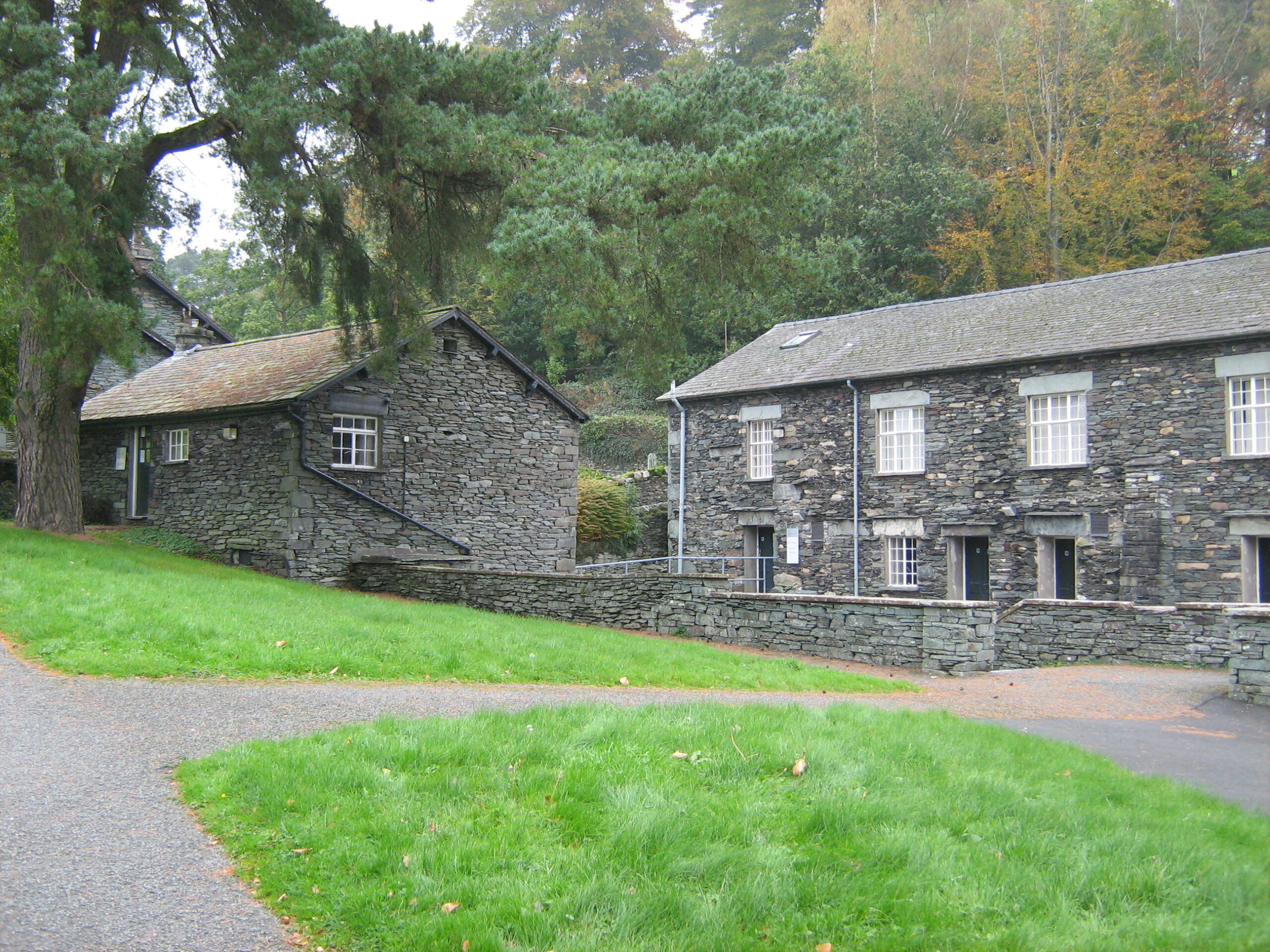
  • Scale How, formerly Charlotte Mason College, and its open grounds
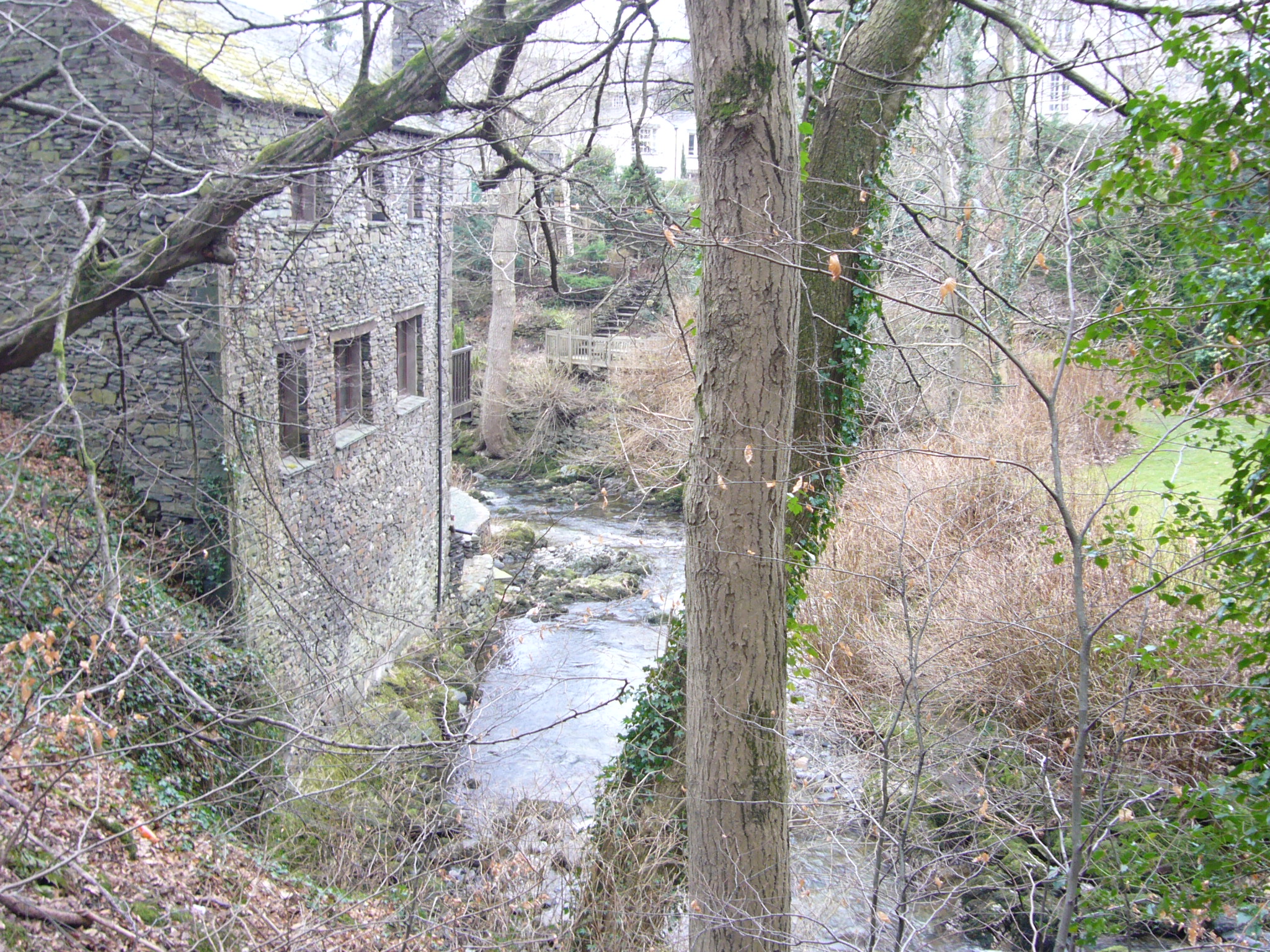
  • Stock Ghyll, a fast-flowing tributary of the River Rothay which supported many different waterwheels and mills for 700 years
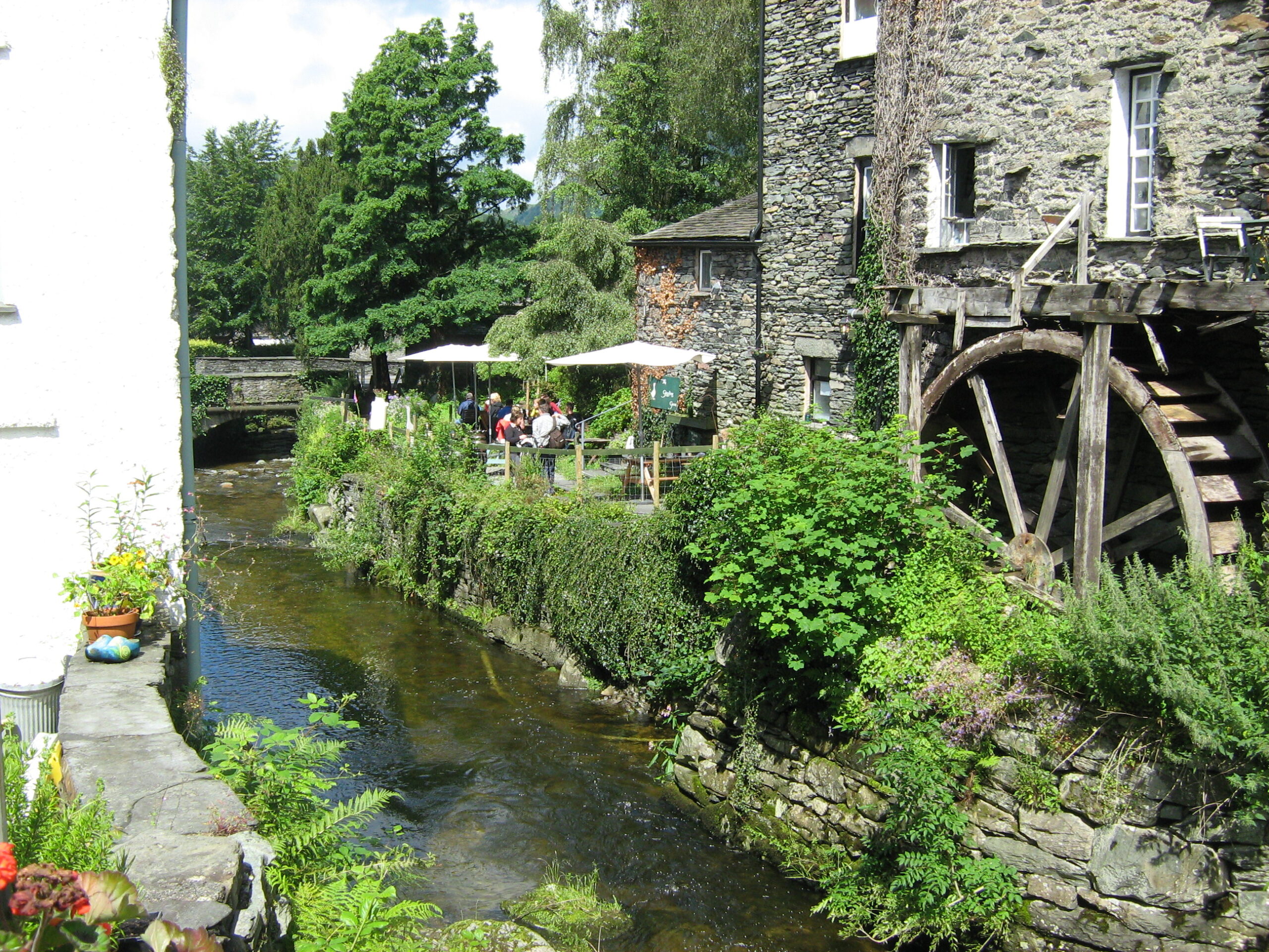
  • Former mill buildings on either side of Stock Ghyll, a mainstay of the town’s economy until the end of the 19th century
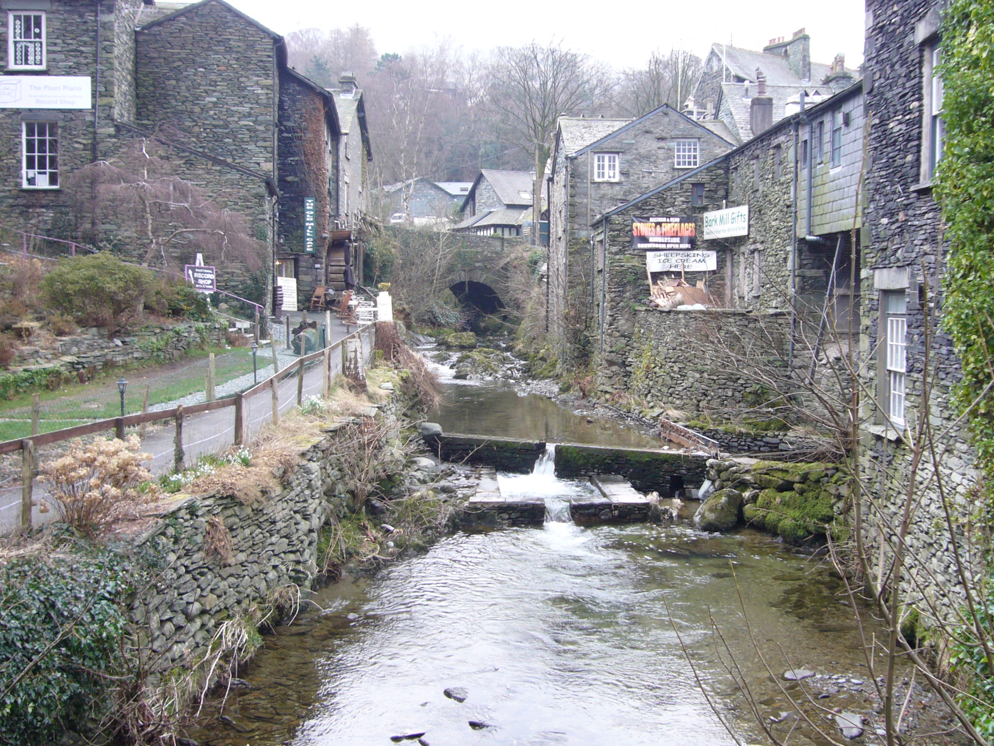
  • Picturesque views of Stock Ghyll, which retains a wild quality despite its urban location, up- and down-stream from the two bridges
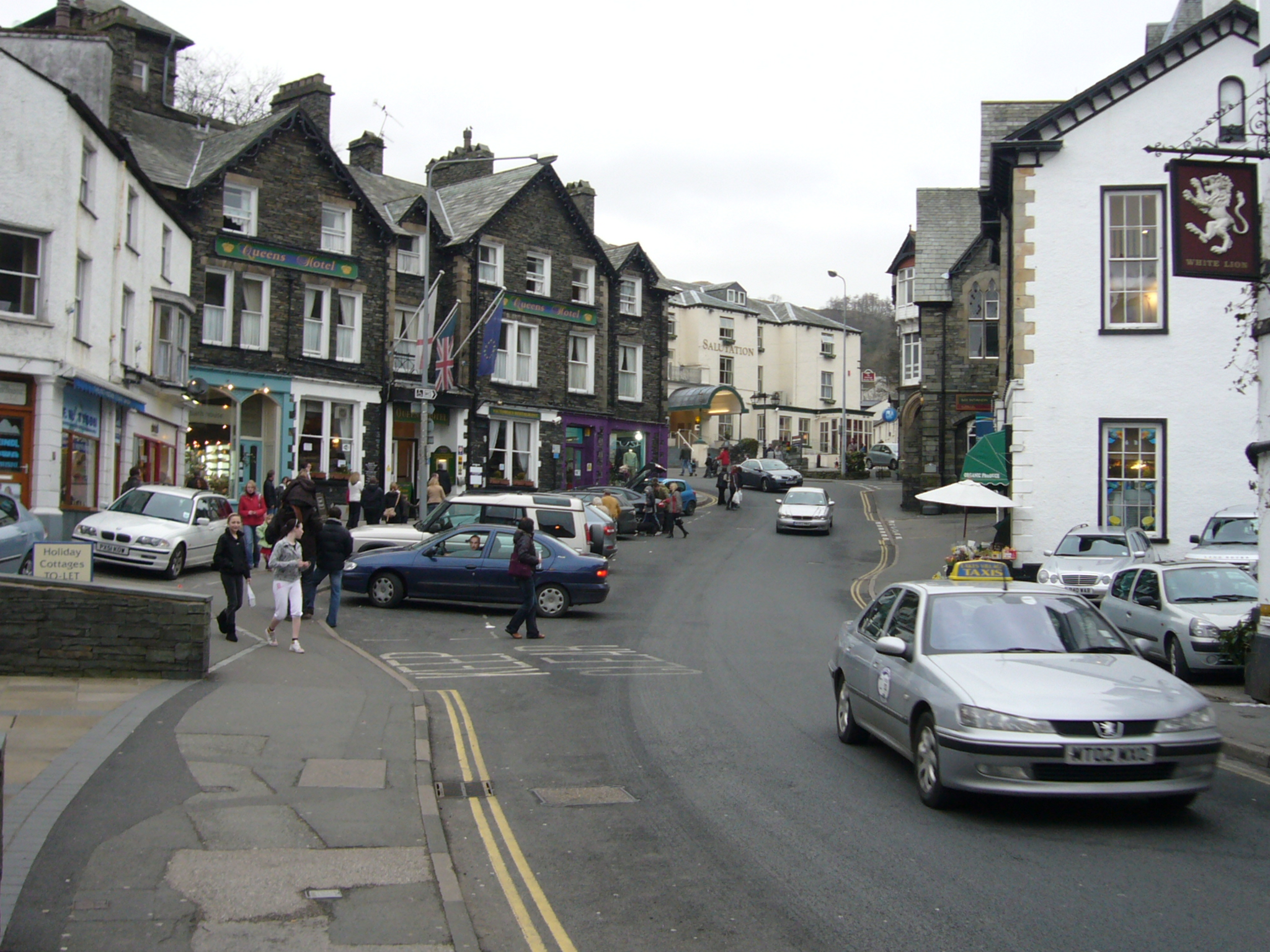
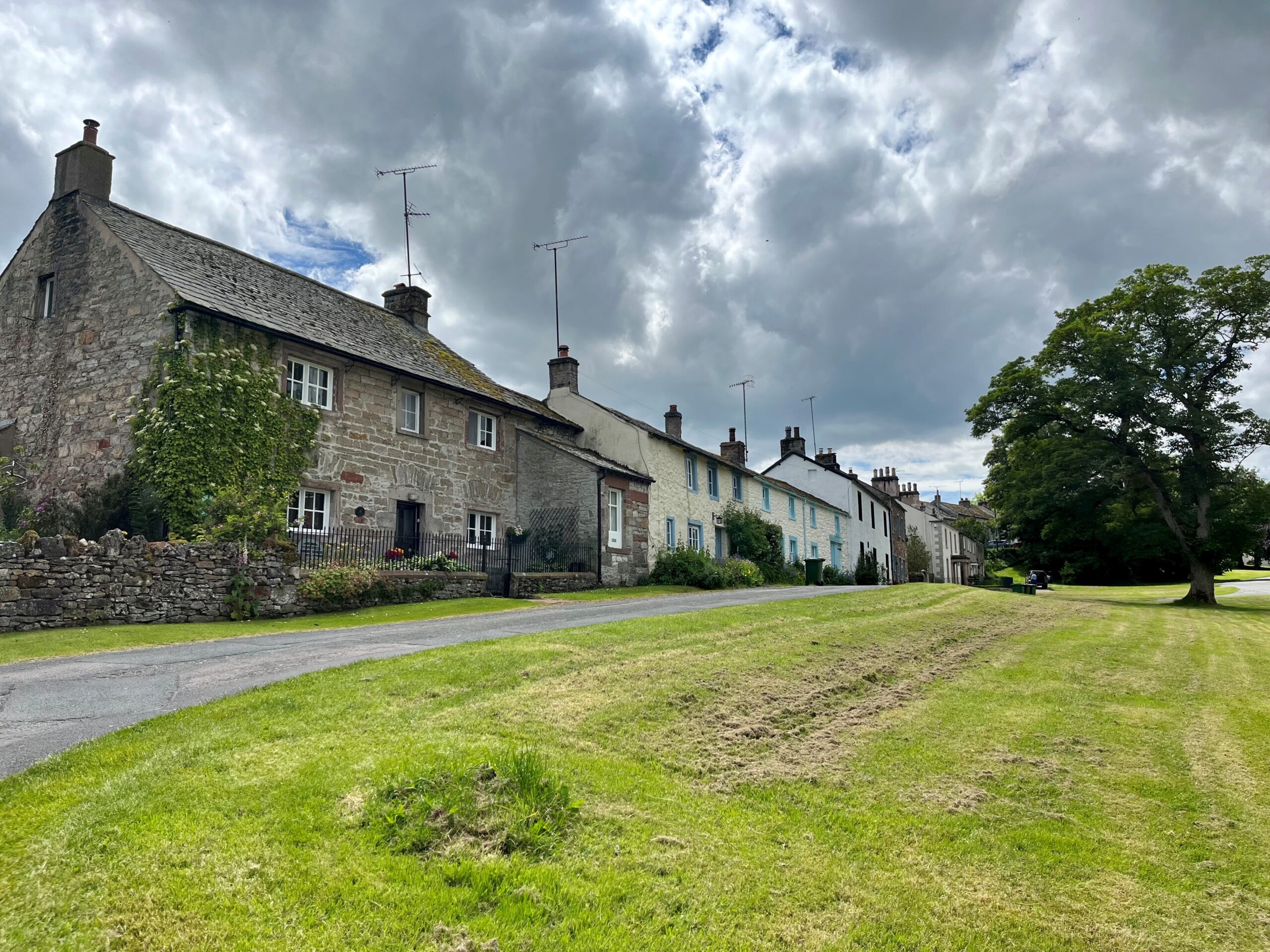
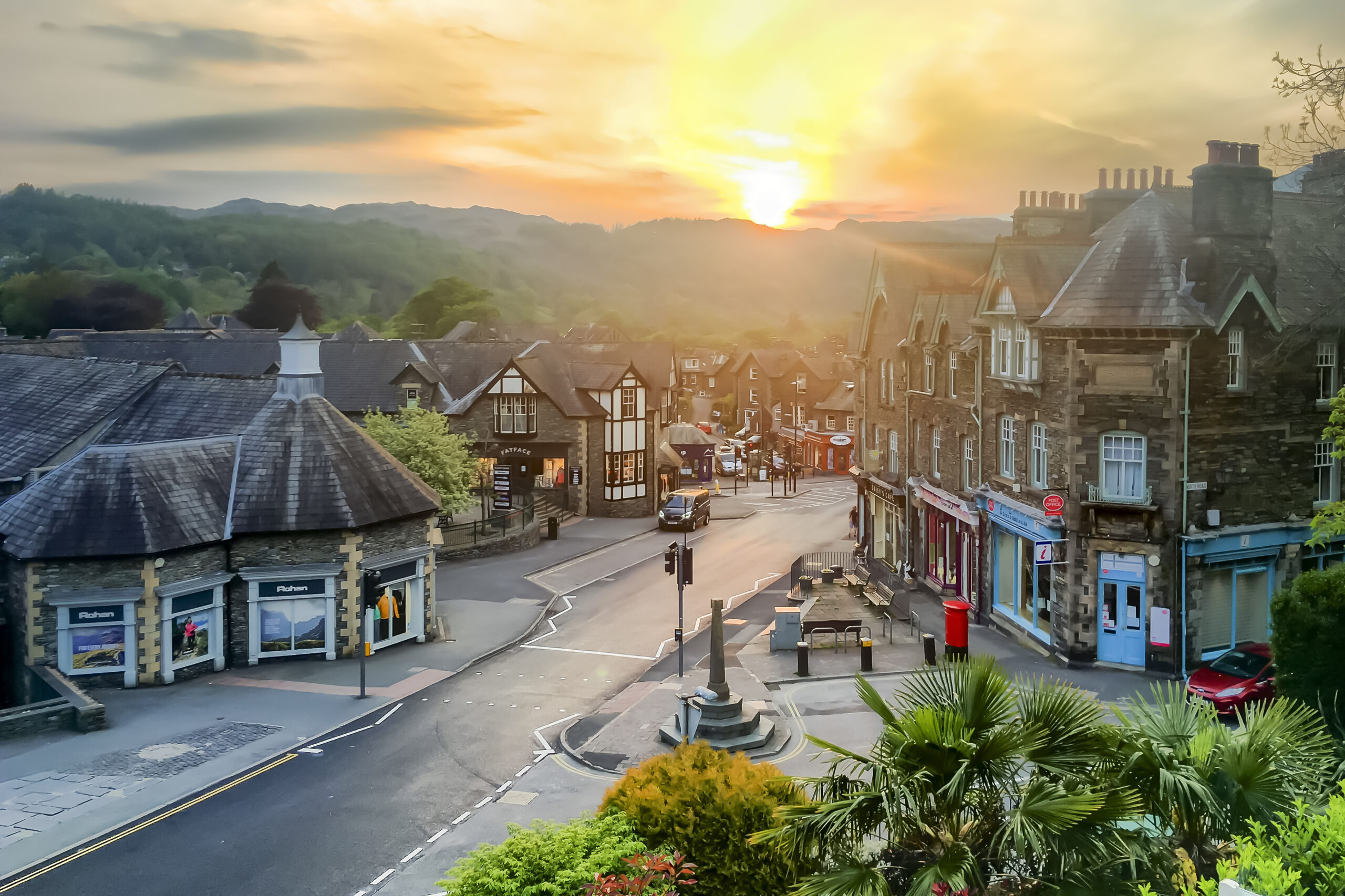
  • The former 17th century market place, now Market Place, still retains its original shape
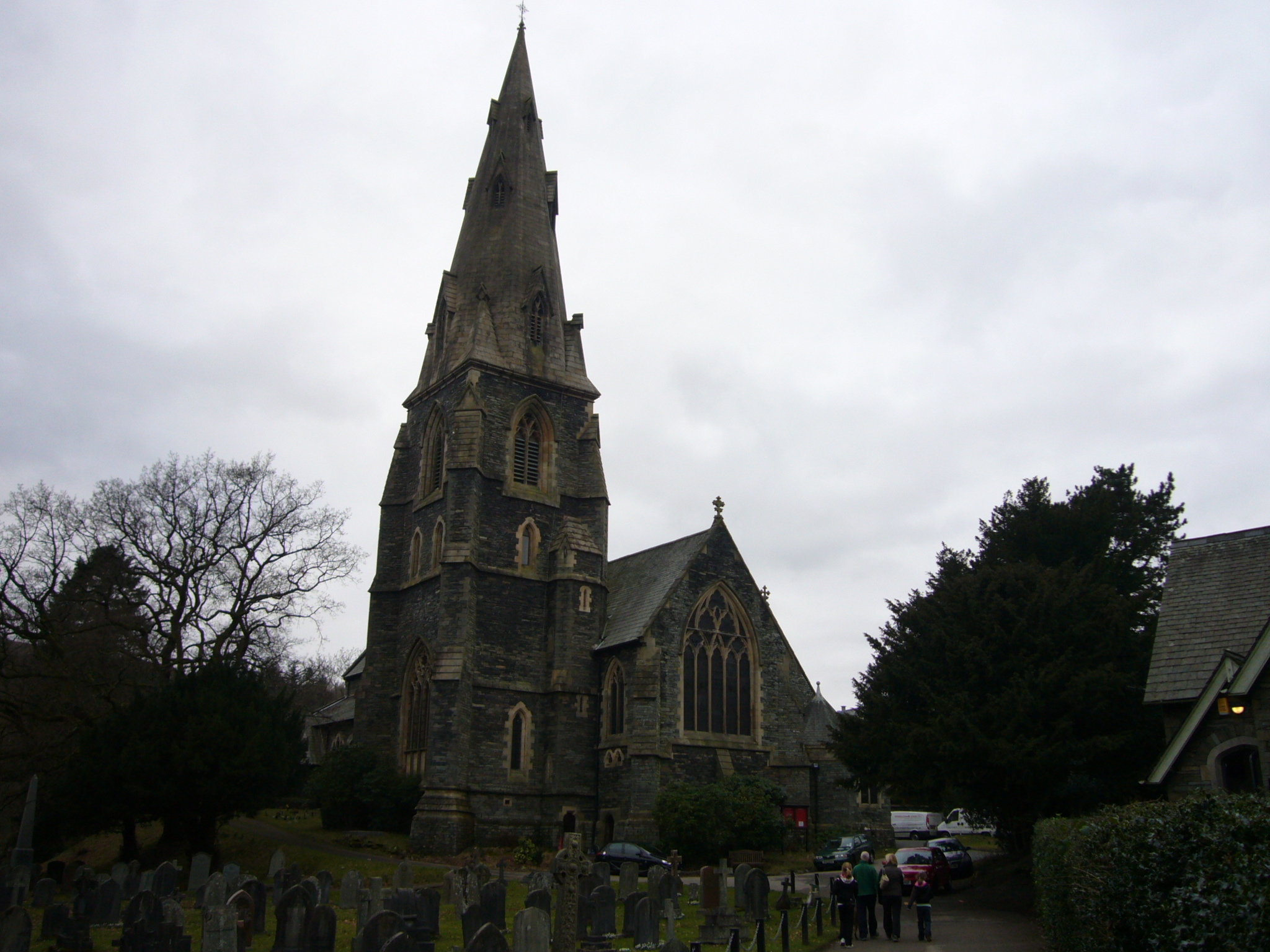
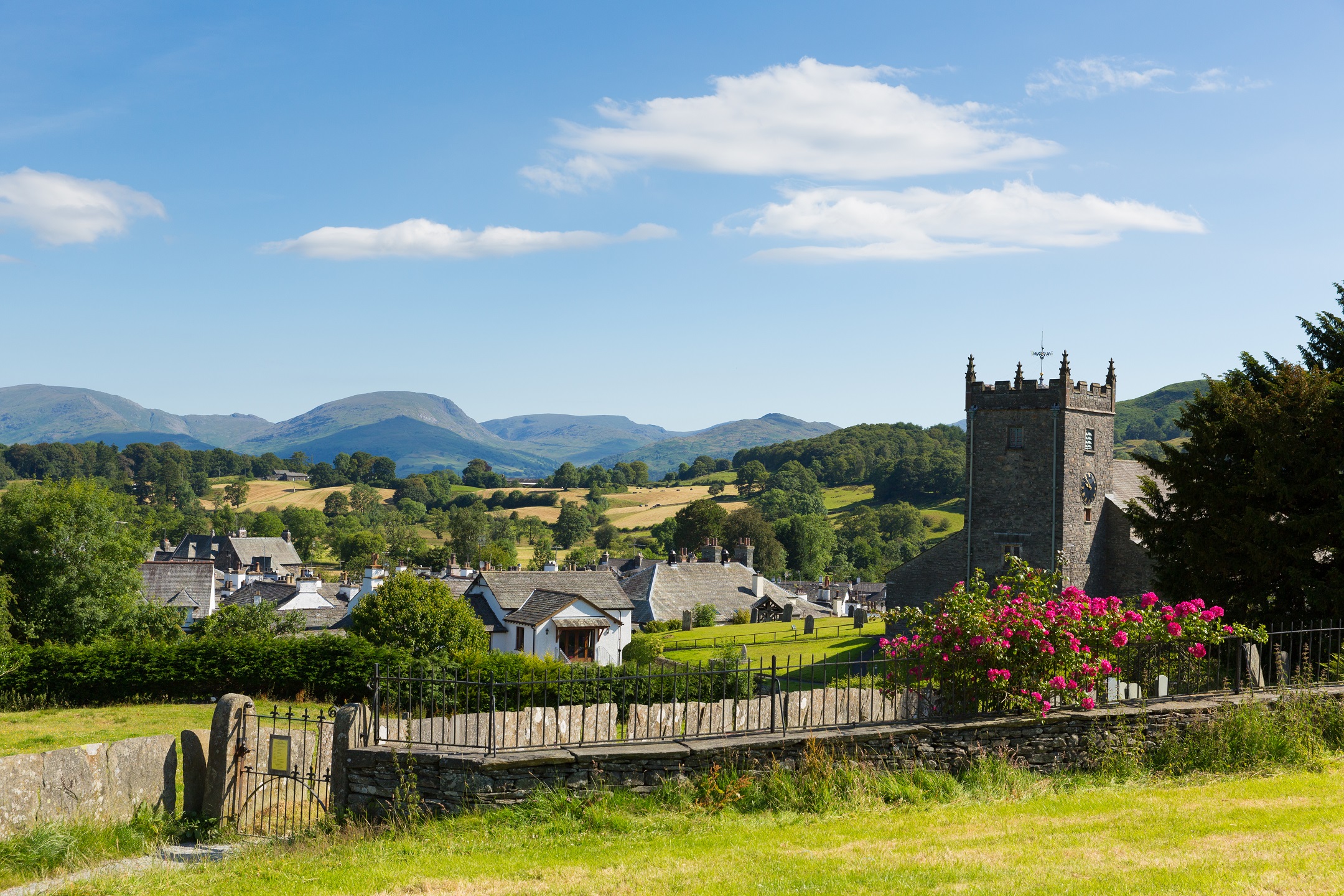
  • Spire of St Mary’s Church, a local landmark
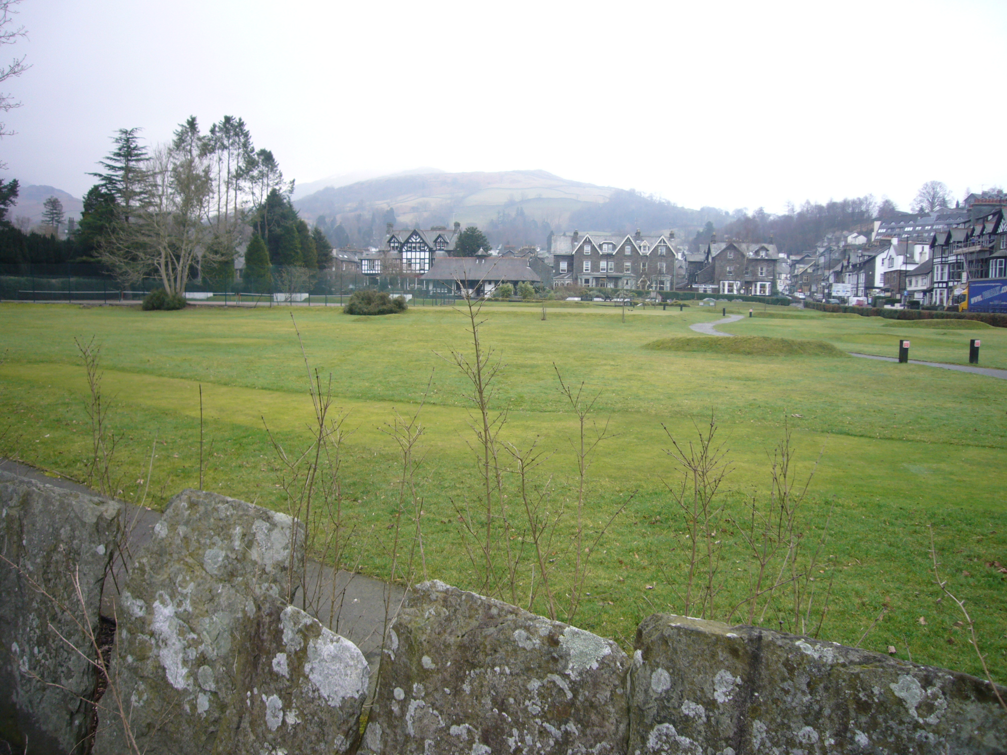
  • Green open space of St Mary’s churchyard and the University of Cumbria site
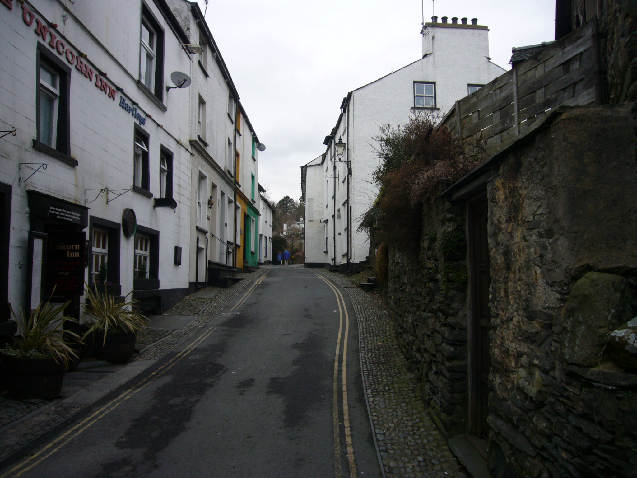
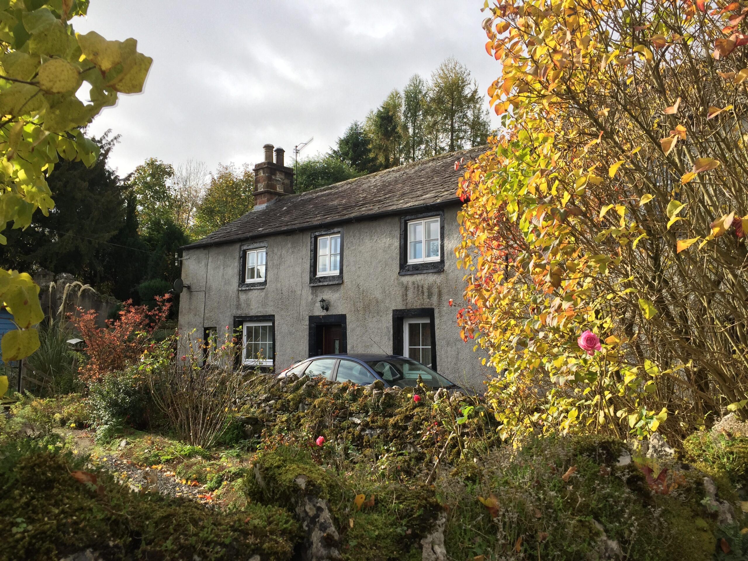
  • Haphazard intimate layout of cottages and former farm buildings clustered in islands formed by a network of narrow roads and footpaths north of Stock Ghyll – ‘above Stock’
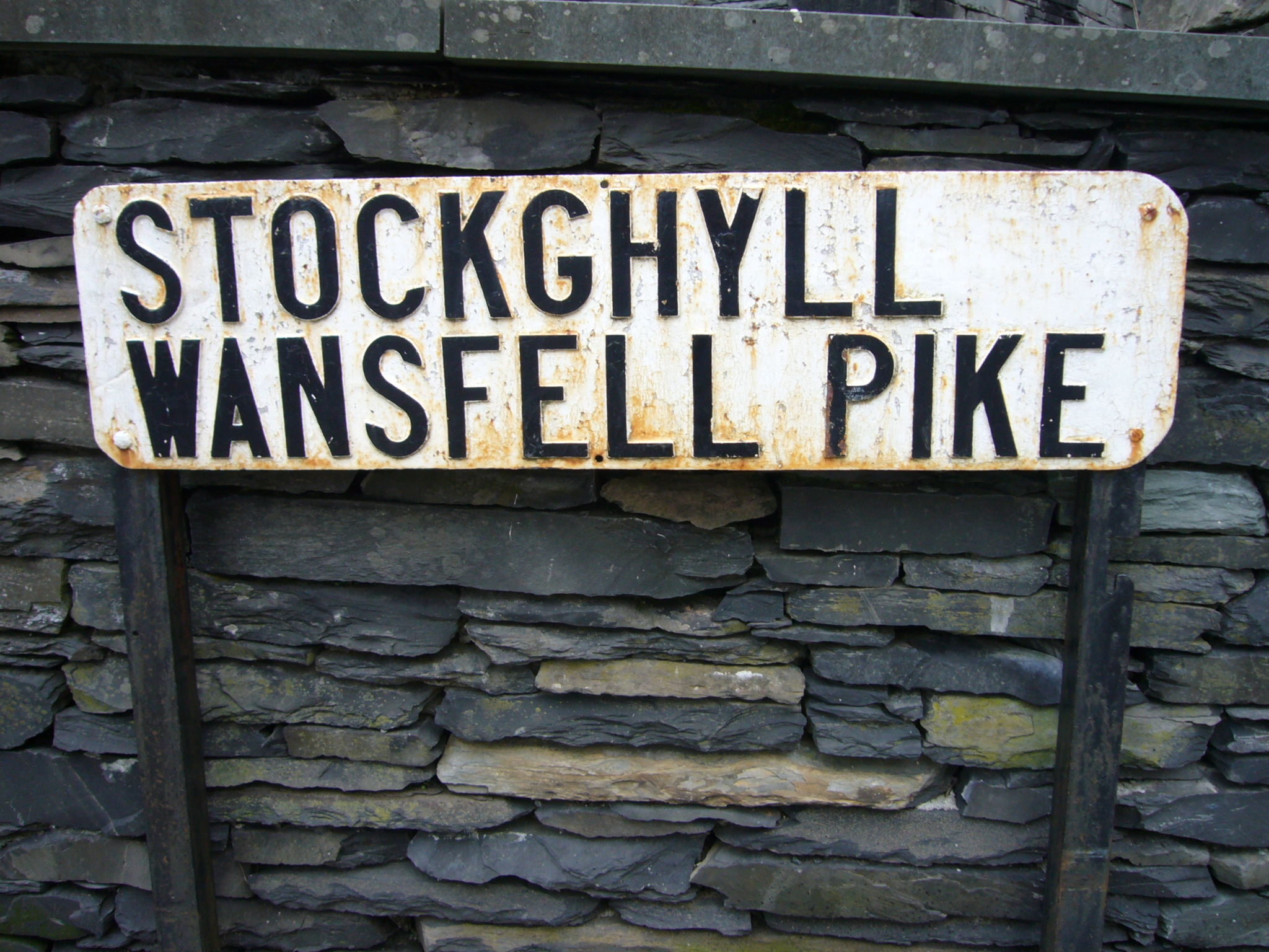
  • The Market Cross and small items of street furniture that add to Ambleside’s local identity such as iron street name signs, old letter boxes, stone slab boundary walls

More details