Site area (hectares): 13.75
Use: Mixed – tourism, retail and employment
Site requirements:
- Heritage Impact Assessment to assess the impact on World Heritage Site designation and heritage assets. In addition a Heritage, Design and Access Statement and a World Heritage Site Checklist would be required. Investigation and recording of any features is required.
- Submission of a Screening Opinion to guide the production of an Environmental Statement.
- Transport Assessment and Travel Plan which provides sustainable travel options. Highways England and Cumbria County Council should engaged at the scoping stage. Transport Assessment should consider the potential impacts of any new link between the A591 and Town Centre network. Transport modelling will be required.
- Assessment of impact on wider traffic movements between A591 and town centre.
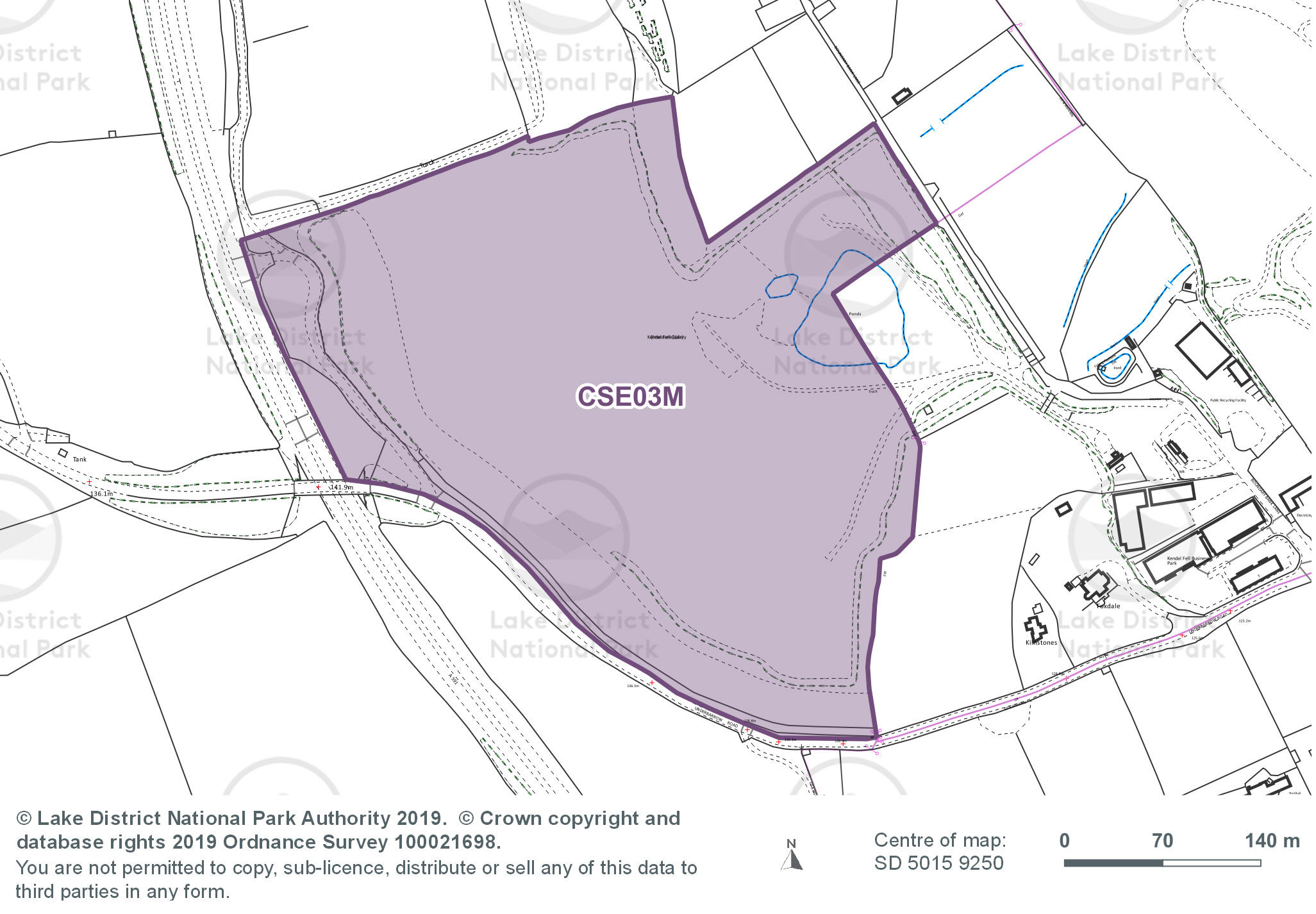
- Demonstration of adequate access plans, and consideration of access provision for adjacent allocation CSE01E.
- Maintain the tree belt adjacent to the A591 to help reduce landscape harm from the development and access proposals. Development proposals would need to demonstrate how the creation of the access would avoid unacceptable landscape harm.
- The siting of buildings and infrastructure should be located to minimise visual impact. This would enable them to take advantage of screening from the high quarry sides and tree belt along its western boundary.
- Extended phase 1 Habitat survey and botanical survey, which will inform the requirement for further surveys of particular species such as peregrine falcons or mitigation measures.
- A survey for Great Crested Newts. This should also inform mitigation measures.
- Creation of limestone grassland habitats within the site and habitats favourable to amphibians and reptiles.
- A flood risk assessment would be required as the site is over 1 hectare.
- A surface water drainage strategy is required as part of any planning application including details of drainage relating to the pond.
- Landscape and Visual Impact Assessment (LVIA) including cumulative affects with the site CSE01E to the north of the quarry and the proposed access should be assessed.
- Comprehensive landscaping scheme required. The development of the site could provide the opportunity for habitat creation and to enable people to understand the cultural heritage associated with the site’s quarrying past.
- Design and layout to take account of existing footpaths and seek to make connections within and through the site.
- Management of wastewater and surface water need to be addressed through development proposals.
- Sequential and impact test regarding commercial, business and service uses on Kendal Town Centre.
- Socio-economic impact assessment to clarify the benefits and impacts of the development proposal on Kendal and the wider area.
- Environmental Permit for Kendal Fell Quarry Phase 2 is surrendered.
- Ground investigation works to ensure there is no contamination present on site.
- Avoid unacceptable adverse impacts on the amenity of nearby properties.
- Development of the site should retain the historic quarry faces and the form of the quarry and its multi-level plateaus.