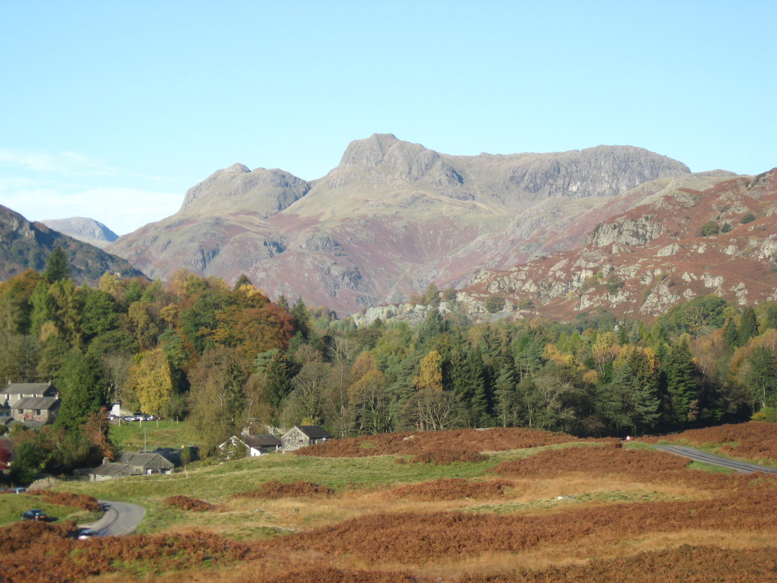
Why is common land important?
Common land in the Lake District;
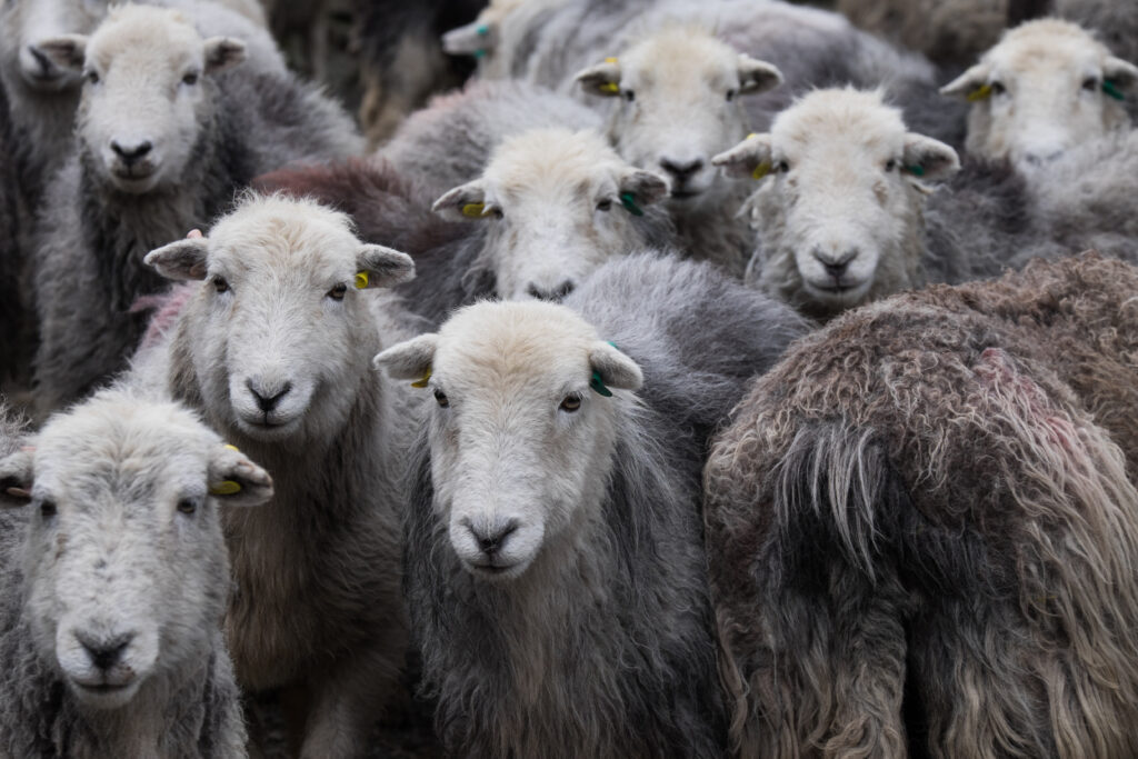
- Produces food. High quality food products are produced from the native Herdwick, Rough Fell and Swaledale sheep and native breeds of cattle that graze the commons.
- Is a cultural landscape. The Cumbrian farmers live off the land as they have done for centuries. They compete in a variety of competitions at the local shows and shepherds meets. They value their flocks and herds and are continually trying to improve their livestock for the future.
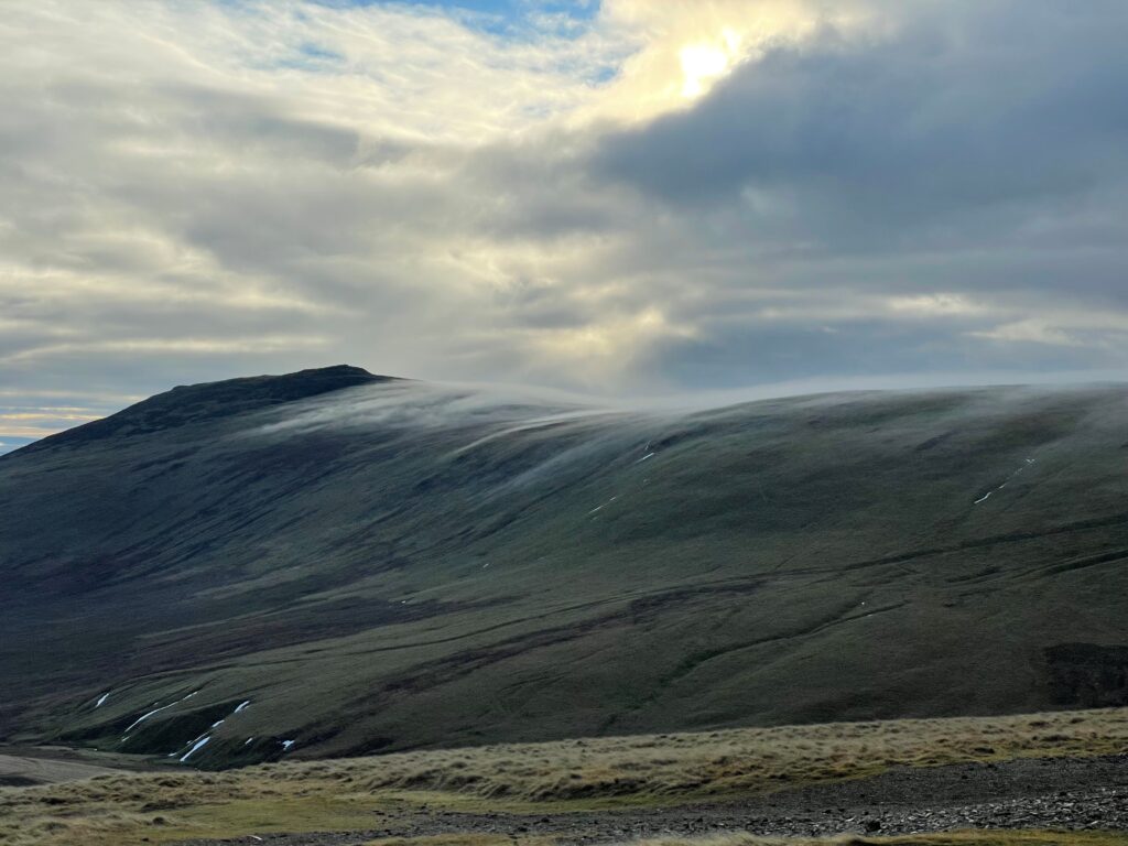
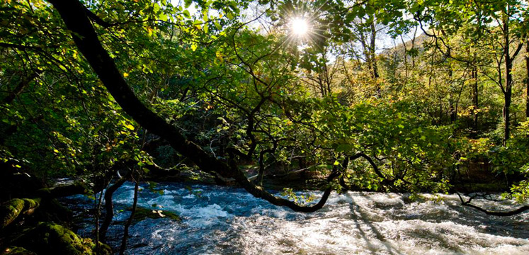
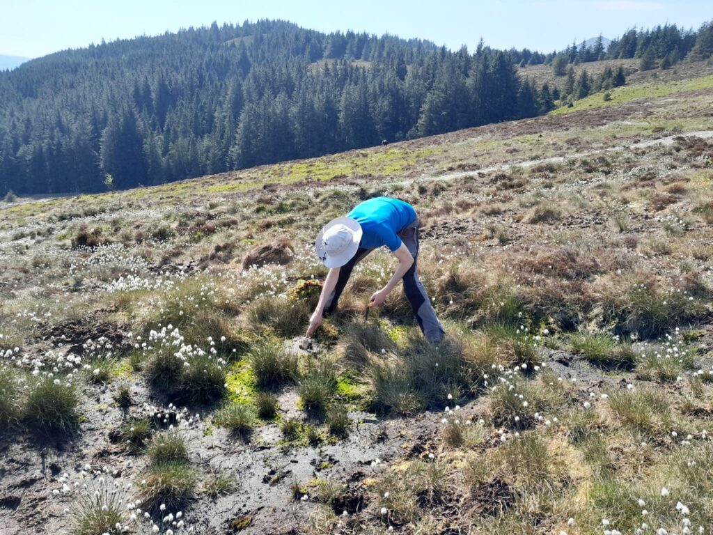
- Is biodiverse. Beautiful landscapes are home to a variety of flora and fauna. 44% of common land in Cumbria is designated as a Site of Special Scientific Interest.
- Is open access land. All common land is open access. Recreation on common land promotes health and wellbeing.
When visiting common land please always keep your dog under close control, and bag and take home any waste. Animals may be grazing on commons year round, and this may not be immediately obvious when you arrive