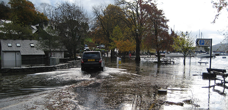
A Level 1 Strategic Flood Risk Assessment (SFRA) was produced in September 2018 by JBA consulting. It uses the most up-to-date flood risk information together with the most current flood risk and planning policy available from the National Planning Policy Framework and Flood Risk and Coastal Change Planning Practice Guidance. Presented as two documents, the SFRA investigates and identifies the extent and severity of flood risk from all sources, both presently and in the future, using available data. This assessment will enable the Authority to steer development away from those areas where flood risk is considered greatest, ensuring that areas allocated for development in a safe, cost effective and sustainable manner. It also provides guidance on the potential associated with future planning applications and the basis for site-specific Flood Risk assessments (FRAs) where necessary.
Flood risk maps illustrating the interaction between flood risk and potential development sites are available to view on our interactive Policies Map