The development of this Network Plan involved considerable partnership working. Stakeholder workshops were held with the Cumbria and Lakes Local Access Forum, Westmorland and Furness Council, Cumberland Council, Sustrans, National Trust, Forestry England and United Utilities to understand their priorities and support for routes identified in the Network Plan.
We also engaged with the Yorkshire Dales National Park Authority and attended the Cumberland Council’s Lakes to Sea Community Panel.
Public and stakeholder engagement underpins this Network Plan. During the project, three stages of engagement were undertaken:
Public engagement included the below online interactive map which allowed participants to identify the location of new routes and route improvements relating to active travel. The interactive map was launched on the 15th July 2024 and closed on the 15th September 2024. Over 250 comments and suggestions were received suggesting new active travel routes and improvements.
We received comments from a wide range of people who walk, cycle or wheel with a variety of needs and preferences. It can be challenging to prioritise, as there are so many improvements that could be made, all of which would encourage Active Travel, but limited resources to deliver these changes.
Our next steps will be to evaluate comments already received, have discussions with major stakeholders and look at prioritising the proposals received. We will keep you updated via this web page.
The Network Plan process involved the prioritisation of routes and route improvements to create a programme of cycling, walking and wheeling schemes.
To achieve the outcome of a higher proportion of people travelling actively, the prioritisation framework was developed to focus on where the biggest increases would occur, and the greatest benefits would be achieved. The development of the prioritisation framework considered routes that…
Consequently, a prioritisation framework was produced to ensure consistency when prioritising walking, cycling and wheeling infrastructure improvements. The framework included the following criteria:
Each route and route improvement was assessed individually, and organised into four categories: strategic corridors, secondary links, local routes and routes into the LDNP.
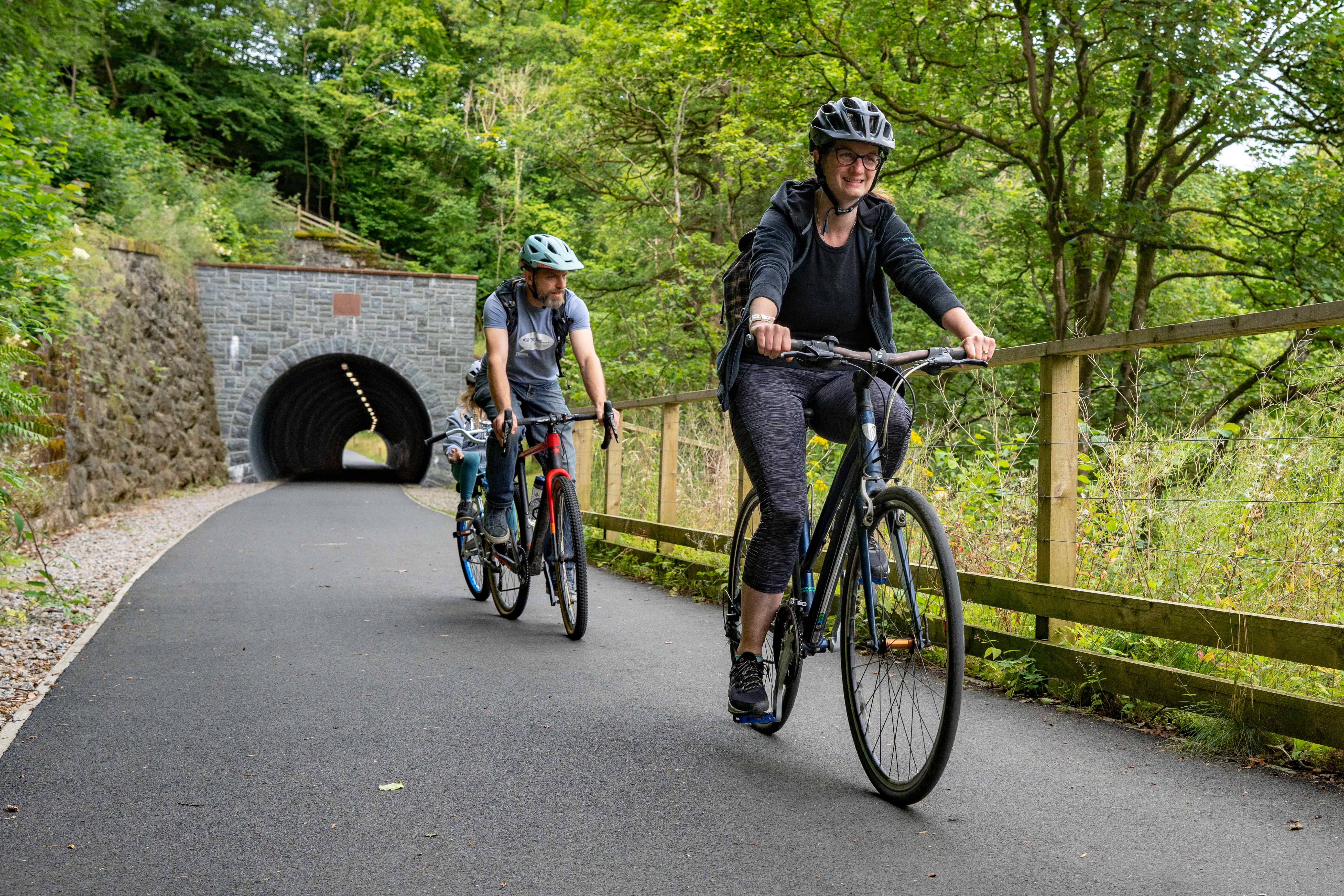
The design of the routes will depend on the location, user profile and numbers, landowner permissions and environmental constraints. We await the Rural Design Guidance from Active Travel England, and will consider in more detail, but in summary routes and improvements could include a range of types and surfaces including:
Of the many projects put forward as part of the consultation and stakeholder discussion we will only have resources to deliver a relatively small number. We therefore have to prioritise the identified routes.
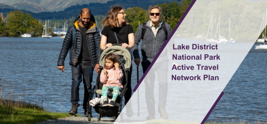
The Active Travel Network Plan outlines new walking, cycling and wheeling routes and priority areas for improvement to achieve the objectives of promoting active travel and creating safe, accessible and sustainable infrastructure for pedestrians, cyclists, wheelchair users and horse riders.


