Temporary Closures of Rights of Way

Traffic Regulation Orders and Notices

Road Traffic Regulation Act 1984

Temporary Closures of rights of way are usually to allow works to take place, for example, helicopter stonelifts for Fix the Fells work or replacement of large bridges.  They may also be made for reasons of public safety, for example motor rallies, forestry, utility works or building works that affect public paths.  Orders are planned in advance, and can last up to six months. Notices are for very short term issues and come into effect immediately.

A longer term Traffic Regulation Order is a legal order regulating traffic on public highways. This includes footpaths, bridleways, byways, restricted byways and carriageways with a predominantly unsealed surface. They can be made for reasons such as:

  • avoiding danger to people or other traffic
  • preserving the character of a road
  • preventing unsuitable use of a road
  • for the purpose of conserving or enhancing the natural beauty of the area

They can restrict:

  • All or certain specified types of user -  for example, all mechanically propelled vehicles except motorbikes
  • Use to certain times or seasons - for example, days of the week or width/height/length limits
  • The extent of road affected - for example, the whole of a road or to a specified length

If you have any queries, or wish to apply for a closure, please contact Nick Thorne; nick.thorne@lakedistrict.gov.uk or 01539 792621, or Will Hinchliffe will.hinchliffe@lakedistrict.gov.uk 01539 792696.

Decisions taken under delegated powers

Decisions to make traffic regulation orders are taken under delegated powers.  Under the Openness of Government Regulations 2014 we publish all these decisions which can be seen on the Openness Of Government page.

Regular temporary closures

There are a couple of regular motor rally events which necessitate the temporary closure of Rights of Way in forestry areas to ensure public safety each year; the Malcolm Wilson Rally (usually held on a weekend in early March) and the Grizedale Stages Rally (usually held on a weekend in early December).

There are two sets of information below:

Intention to Make an Order

Before we make an Order we have to tell people what we intend to do and why. These Notices of Intention are published in the local press and on this website at least 7 days before the Order is made.

Current Traffic Regulation Orders and Notices

Byway Open to All Traffic 584025, Ashstead, Whinfell Parish

Date of change: 17 July 2024

We have made an Order temporarily prohibiting mechanically-propelled and animal-drawn vehicles from using Byway Open to All Traffic (BOAT) 584025. The surface has been affected by washouts and partial collapses. Our Ranger team intend to carry out work to repair or replace several of the drains, improve drain approaches and repair damaged sections of the surface. The BOAT will remain open to all other users. The order will come into effect on 1 August 2024. An order can last up to six months but it is anticipated that the works will be complete and the BOAT open to all users again by early September. For mechanically-propelled and animal-drawn vehicles the only possible alternative during the closure will be to use the surrounding road network.

Site Notice, Order, Notice and Plan

Expires: 1 February 2025

Part of Footpath 243023, Hudson Place, Loweswater Parish

Date of change: 28 June 2024

The deck and beams of the bridge across Dub Beck near Hudson Place and Waterend are in poor condition and the bridge requires replacement. To enable our Ranger team to replace the bridge safely and efficiently we have made a temporary order closing the section of the footpath (243023) over the bridge whilst works are underway. Once works begin it will not be possible to cross the beck via the footpath. The order comes into effect on 22 July and will be in force when work commences to replace the bridge. Although an order may last up to six months, it is anticipated that the work will take two or three weeks, depending on weather and any other issues encountered, and the order will cease to be in force once the bridge replacement is complete.

Site Notice, Order, Notice and Plan

Expires: 22 January 2025, or when works are complete

Part of Bridleways 342017 and 305007, Lowther and Askham Parishes

Date of change: 15 June 2024

Westmorland and Furness Council have made an Order to temporarily close part of footpaths 342017 and 305007 whilst bridge decking is replaced. The Order will enable works to be carried out safely and efficiently. The section in red will be closed from 15 June 2024 and may be closed for a period of up to six months, although it is anticipated that it will only be required for 3 months.

Notice, Order and Plan

Beckside, Part of Footpaths 513039 and 513040, Crook Parish

Date of change: 26 March 2024

We have made an Order to temporarily close sections of footpaths 513039 and 513040 whilst renovation works on the buildings at Beckside are carried out. The sections shown in red on the order plan between points A and C and points B and D will be closed for 6 months, or until works which may endanger or obstruct the public are complete (if earlier). Alternative routes will be available during the closure through the field to the south of the buildings - suggested routes are shown in green on the plan.

Site Notice and Notice, Order and Plan

Expires: 28 September 2024

Part of Footpath 418009, Ravenglass Railway Bridge, Muncaster Parish

Date of change: 30 April 2024

We have converted the Notice temporarily closing the railway footbridge and its approaches into an Order (in effect from 30 April 2024). Contractors working on behalf of Network Rail are repairing and replacing corroded parts of the bridge structure and replacing the decking, which was rotting. This will remain in effect until 30 October 2024, or when the repairs are complete, whichever is earlier. The works are anticipated to be complete in July.

There are two possible alternative routes. From the south end of Main Street it is possible to follow bridleway 418029 along the beach and then footpath 418008 through the rail underpass to join footpath 418001 north through Walls Plantation. It should be noted that this route is not as accessible as the closed footpath and occasionally at high water this route may not be usable at all. Alternatively, the road tunnel under the railway on Main Street (north of the closed footbridge) can be used, please take care if using this as there is no footway through the tunnel.

Site Notice, Notice and Order

Expires: 30 October 2024 (or when works complete, if earlier)

Cockmoss Bridge, Part of Footpath 514021, Crosthwaite and Lyth Parish

Date of change: 17 July 2024

The Department for Transport has extended the Order temporarily closing this footpath where it crosses Cockmoss Bridge until 7 August 2025, or the completion of works to repair the bridge, whichever is the earlier. The abutment and parapet have been damaged and there is a danger that the bridge will collapse. The structure will need to be lifted out, repairs to the abutment made and a replacement bridge installed. The path will be closed over the bridge until works are complete. No alternative public right of way between Whitebeck and Moss Side exists other than the public roads (A5074/C5047).

Extension Letter, Notice, Order and Plan

Expires: 7 August 2025

Huck's Bridge / A6 to Breast High Road, Bridleway 355041, Orton Parish

Date of change: 24 July 2024

The Department for Transport has further extended the Order temporarily closing the bridleway between the A6 at Huck's Bridge (Low Borrowbridge) and Breast High Road, which has been affected by landslips, which are still deteriorating.  The route is no longer safe for users on the original line of the bridleway.  An alternative route exists adjacent to the closed path for walkers, but for cyclists and horse-riders the only alternative is the Breast High Road byway (ford) – which is sometimes impassable at the ford/stepping stones.

Extension Letter, Notice and Order

Expires: 3 September 2025

Stanley Ghyll Lower Falls - Eskdale, Footpath 408037, Eskdale Parish

Following damage during Storm Arwen and subsequent rockfalls, the footpath to the waterfall in Stanley Ghyll remains closed because it has been damaged, made unstable, and unsafe - creating a danger to the public.  The section closed is between the bridge at SD 1742 9958 and the lower falls at SD 1743 9953.  There is no access to the lower falls, but the upper falls are now visible from the new viewing platform.

We are currently investigating what we can do to rebuild / restore this path, and also making the rockface above it stable to minimise danger to the public. We don’t yet know what we can do, and so this may take some time.

PLEASE DO NOT ATTEMPT TO REACH THE BASE OF THE FALLS

All other rights of way in Stanley Ghyll are open, as is the viewing platform at the top of the site.

Notice, Extension Letter and Order- Stanley Ghyll Lower Falls, FP 408037- temporary closure

Expires: 1 December 2024

Newlands Beck - Part of Footpath 201023, Newlands Beck, Little Braithwaite, Above Derwent Parish

Date of change: 5 December 2023

Part of footpath 201023, along the bank of Newlands Beck south of Little Braithwaite (shown A-B in red on the attached plan) is closed to the public because the river washed away the bank and footpath during Storm Ciara (February 2020) with further subsequent damage.  The extent of the damage has grown significantly since then.

The Order came into effect on 18 February 2020 and was extended until 31 December 2023 - the Secretary of State has now further extended this - until 31 December 2025.  We intend to make a diversion order to resolve this issue.  Meanwhile, please use alternative routes following public roads to the east or west and other footpaths, which can be seen on the map.

Case Officer: If you have any queries, please contact Nick Thorne, Senior Rights of Way Officer on 01539 792621 or nick.thorne@lakedistrict.gov.uk

Notice, Order and Extension Approval Letter- Newlands Beck, part of Footpath 201023

Expires: 31 December 2025

Permanent Restrictions

Langdales

Colton

  • Nibthwaite to Parkamoor
  • Path or road number: U5051
  • Dates of closure: Discretionary closures depending on weather and condition
  • Reason: To protect the surface and amenity
  • We are advised by Westmorland & Furness Council that as this TRO has not been activated for many years, it would likely require consultation with stakeholder and interested parties before bringing it into effect again - and possibly a new or revised TRO.  Please direct any equiries to Westmorland & Furness Council.

Colton

  • Rusland Pool
  • Path or road number: U5566
  • Dates of closure: Seasonally closed between 1 October and 31 May
  • Reason: To protect the fish stocks in Rusland Pool and both Ashes Beck and Force Beck

Longsleddale

How to apply for a Traffic Regulation Order/Notice

We need at least 10 weeks notice to process a Temporary Closure Order. Notices for 5 or 21 days can be processed immediately as we do not have to advertise them in the press.  Costs of orders and notices are usually met by the applicant.

Please contact either your local Ranger of a member of the Ranger Service on 01539 724555, as soon as you think you may need to close a path.

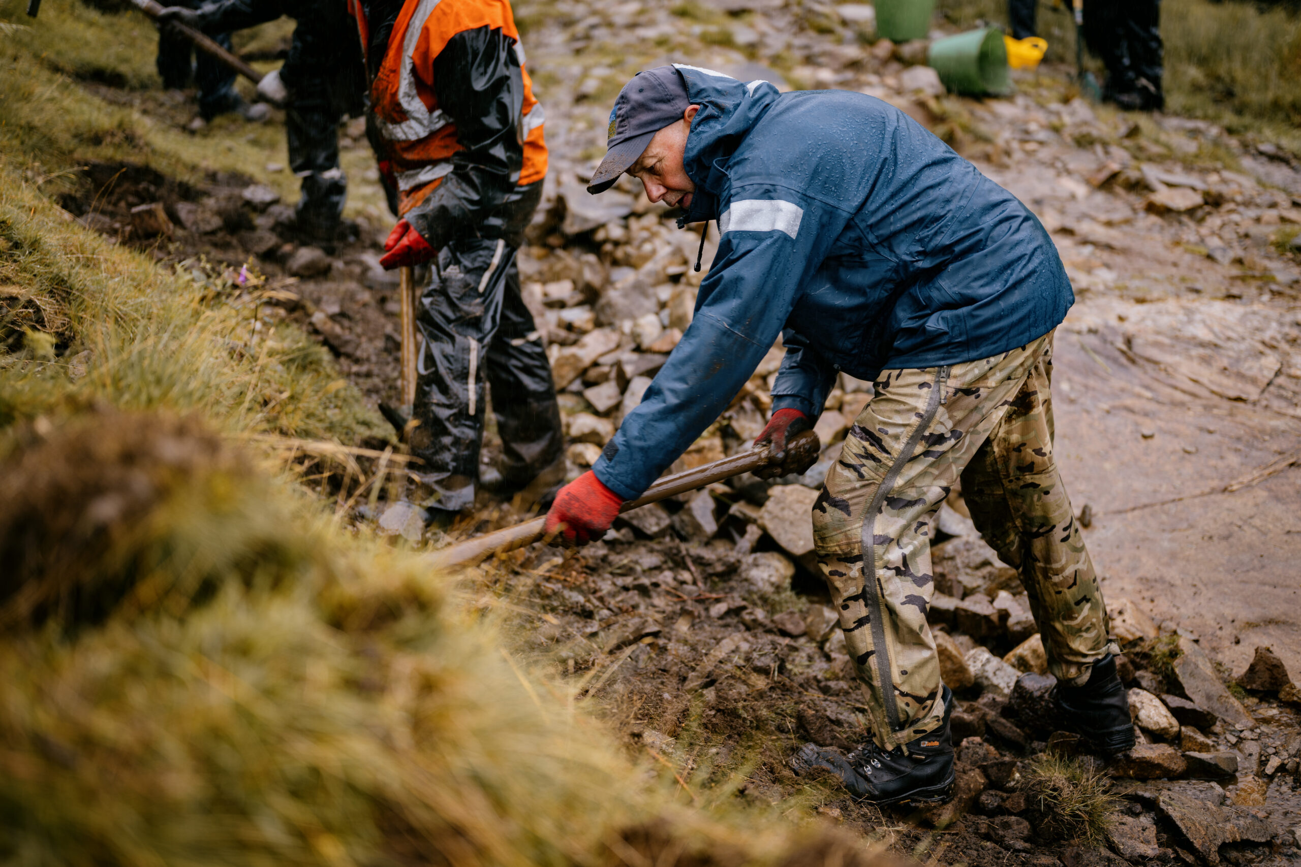
Missing Bridges and Other Known Issues on Rights of Way

Sometimes it is necessary for us to remove or tape off an unsafe bridge, or rights of way become obstructed or difficult to use due to other issues such as stepping stones being washed away or a riverside path surface eroding or collapsing. These issues do not always necessitate a legal temporary closure if there is no danger to the public present. Below are locations with current issues we are aware of. We have provided details of usable alternatives where possible and what action will be taken to address the issues.

Bridge at Beech Hill, Footpath 209001, Blindbothel Parish

Location: Grid reference: NY 1109 2456, nearby What 3 Words reference: journals.concluded.homes

Details of issue: We have removed the bridge at Beech Hill as the beam had become rotten and was potentially unsafe.

Alternative routes: Possible alternatives on the surrounding road and rights of way network include the U2196 between Beech Hill and Mosser Mains or Footpath 209016 and 209002 between Beech Hill and Mosser Mains via Underwood, as shown on the map below.

Plans to address issue: We intend to replace this bridge over the Summer of 2024

Map showing location of missing bridge at Beech Hill

No results have been found

Bridge near Black Sail Hut,  Bridleway 407001, Ennerdale and Kinniside Parish

Location: Grid reference:  NY1970 1208, nearby What 3 Words reference: stint.brink.roses

Details of issue: We have removed the bridge over the River Liza on Bridleway 407001, to the southeast of Black Sail Hut as the bridge had sustained weather damage over the Winter and had started to deteriorate.

Alternative routes: The river can be forded at various locations when not in spate (including via a forestry track to the west), but please take care if doing so. The closest alternative bridge crossing for footpath users is via the footbridge on Footpath  407033, approximately 1 1/2 miles west-northwest, then following footpaths 407032 via Pillar Rock and east via Looking Stead (footpath 419035) to the top of Black Sail pass. Please note that this is a rough fell path.

Plans to address issue: We intend to replace the bridge near Black Sail hut over the Summer of 2024.

Map showing location of missing bridge near Black Sail Hut

No results have been found