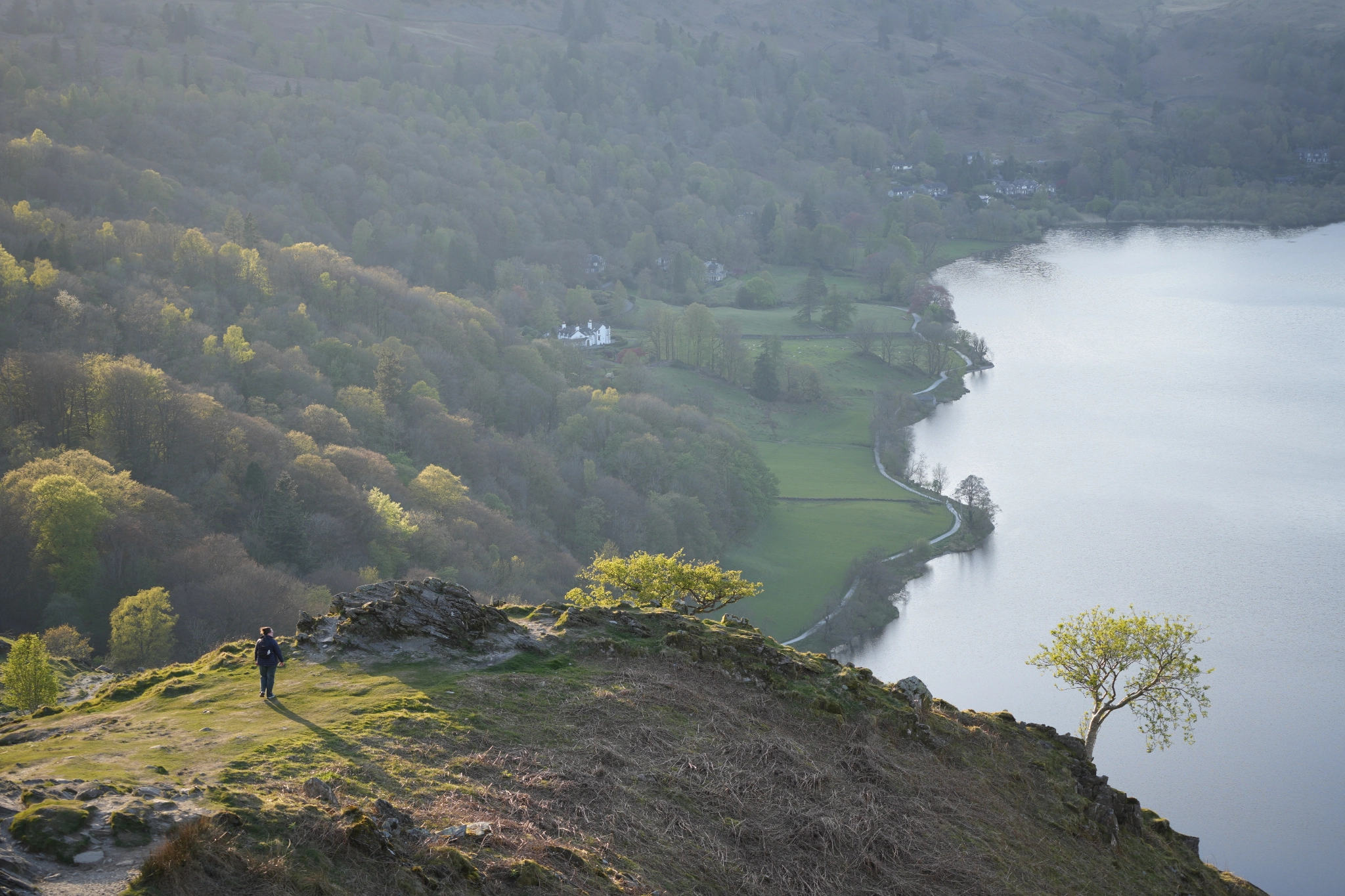


Scout Scar

Challenging route, 1.8km distance
A short, initially steep, walk to one of the best views across the entire southern lakes.
Our Miles Without Stiles routes are graded. What is a ‘challenging’ route? Please note that mobility scooters must be class 2 or 3 on the route.
OS Explorer Map OL7
MWS Grade
Challenging
Duration
0.5 hours
Distance
0.89km / 0.55miles
Scout Scar route map
Download the route PDF
Route
This is a short, ‘challenging’ linear route (900m each way). From the car park, take the path on the right down to the road (gradient 1:5). Take care crossing the road and go through the wooden gate. The original metal kissing gate is to your left.
The rough path rises steeply, at 1:5 gradient for over 100 metres. There are two resting places (presently inaccessible to wheelchairs or mobility scooters) on the way up. The surfaced path ends where it bends sharply to the left. Through the trees to the west the low-lying fells from Kendal to Windermere stretch before you, with the higher fells of the Kentmere Horseshoe to the north.
A natural surface suitable for robust wheeled mobility equipment and pushchairs, leads to about 300 metres beyond (and below) the ‘Mushroom’ at Grid Ref. SD48617 91711. From here, there is a great outlook across the Lyth Valley to the higher fells of Coniston Old Man on the left and Bowfell and the Langdale Pikes on the right.
Details
Start point
Postcode: LA8 8HB
Grid reference: SD 488924
W3W: ///meant.healthier.flash
Turning point
Grid reference: SD 48617 91711
W3W: ///indeed.given.bother
Facilities
None on route
Getting there
No direct public transport. Car: From Kendal Town Hall, turn left up Allhallows Lane and continue for 2.5 km. After a sharp bend to the right, the car park is on the right as the road starts to go downhill.