
Keswick Railway Path

Route for all, 10km distance
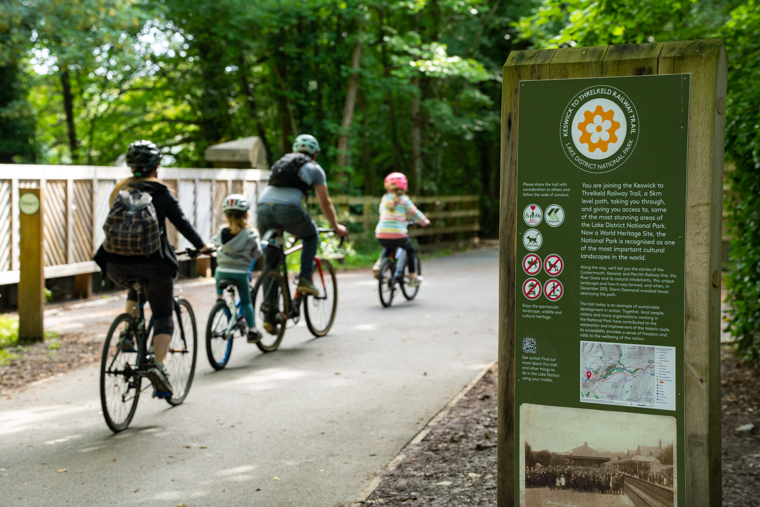
A stunning route from Keswick to Threlkeld through the River Greta gorge.
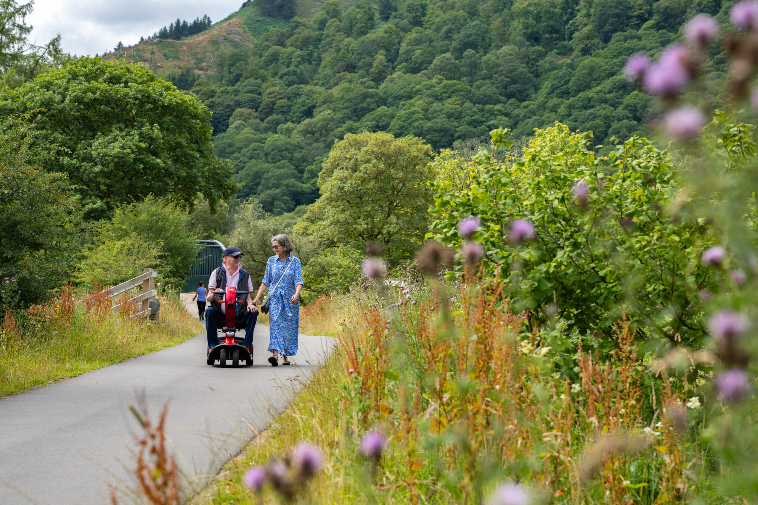
Our Miles Without Stiles routes are graded. What is a route for all? Please note that mobility scooters must be class 2 or 3 on the route.
OS Explorer Map OL4
Temporary bridge closure
We are undertaking a programme of investment in the Keswick to Threlkeld Trail and are renewing the decks and guard rails on some of the river bridges.
Bridge closure from 22 September 2026
Most of the Keswick to Threlkeld Trail is open, but from 22 September 2026 the bridge over the River Greta at the western end of the route will be completely CLOSED to the public (see the map below). This temporary bridge closure is necessary so that a new deck and guard rails can be installed. The work is expected to take up to eight weeks. During this time the bridge will be a construction site. For your safety, DO NOT attempt to cross.
Meanwhile, you can continue to enjoy the trail from east of the closed bridge all the way through to Threlkeld. The K2T Trail can be joined to the east of the closed bridge, either:
- Via a ramp up to the K2T Trail from the public footpath behind the filling station on Penrith Road. This public footpath runs between Latrigg Close and St Herbert’s Primary School on Trinity Way, off Windebrowe Road. The ends of this footpath are on Trinity Way: NY27412353 or What3Words ///generally.puddings.trample) and on Latrigg Close: NY27572387 or What3Words ///vesting.spending.stags
- Via the ramp or steps down onto the K2T Trail near Travis Perkins on Penrith Road. Location NY27852379 or What3Words ///sensual.fleet.topics
The new decks are being constructed from steel and recycled materials, complementing the architecture of the Victorian bridges. The improved bridges will be much stronger and allow you and future generations to continue to enjoy the route.
Please see the map below for route closure and access point information. You can also download a PDF of the access options map during the bridge closure.
Please contact us if you have any questions and follow the signage in place for your safety. Thank you for your patience while we complete these works.

Please assess the route and access point carefully and make your own judgement as to its suitability
Route
Further works are currently being planned for this route. Read more here: Keswick to Threlkeld link.
Since the reopening in December 2020 the trail is now accessible for all – all gradients and surface have been designed for all levels of mobility.
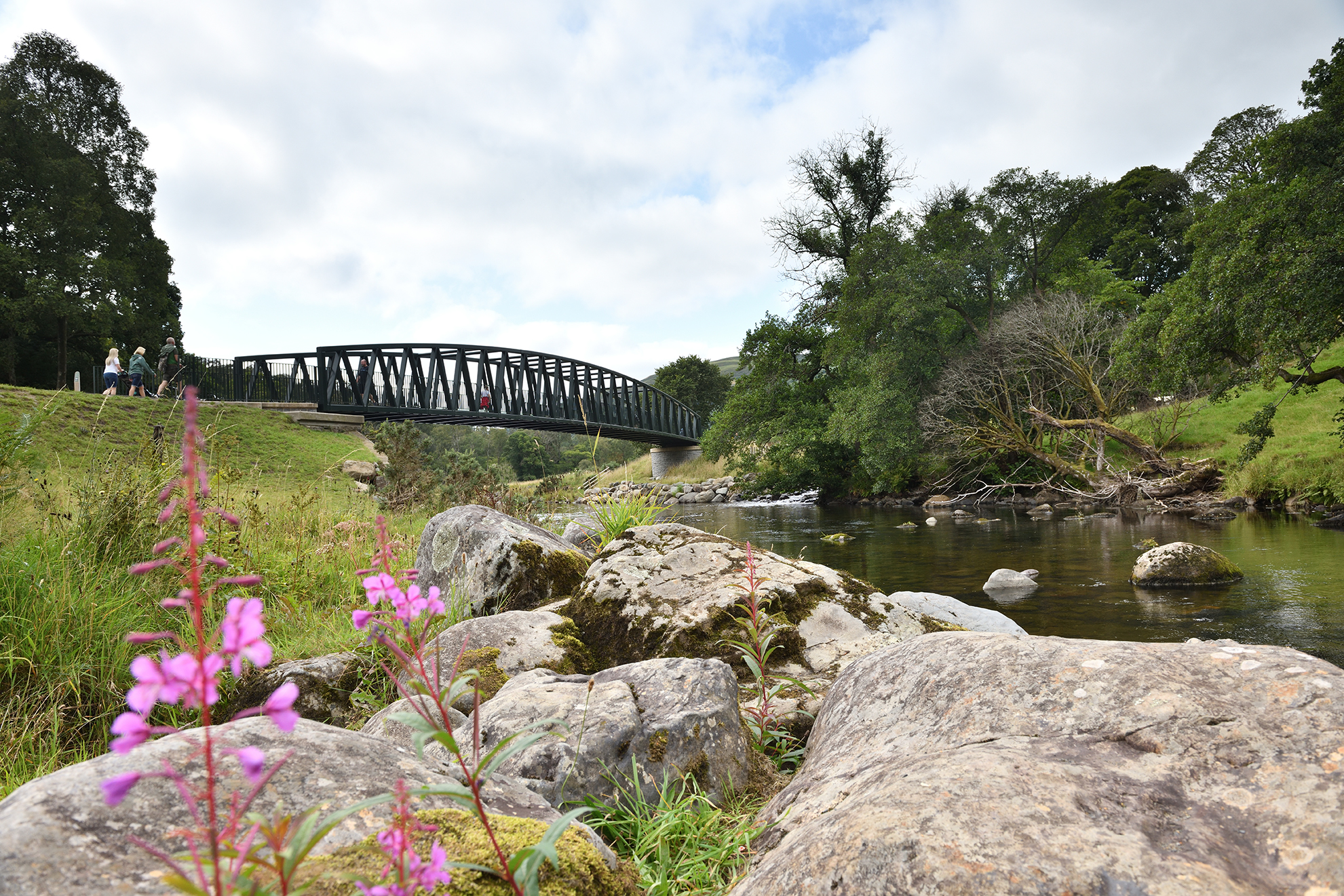
The trail (5km each way) follows the route of the old Keswick to Penrith Railway, and weaves its way over the River Greta on some of the original Victorian railway bridges and some rebuilt following Storm Desmond. This fast-flowing river is home to herons and dippers.
From the car park, the former railway station is on the right. The last train left Keswick station on 4 March 1972. After 1 km pass under the A66 road bridge through the Bobbin Mill tunnel, re-opened in 2020 after being buried following the construction of the Greta Bridge in the mid-1970s. The path leads to a shelter and seats, with information panels.
Beyond this, a railway bridge takes you on the final push to Threlkeld. Access on to the pavement via the zigzags next to the A66 and continue to the village for 0.75 km for refreshments in two pubs and a coffee shop and toilets in the village hall. Alternatively, turn right before the last bridge to follow permitted paths to Threlkeld Quarry for farm shop and museum (1.2km, not suitable for all wheelchair users).
There are no toilets along this route. The nearest public toilets are next to Bell Close car park in Keswick, approximately 10 minute’s walk from the trail start. There are further public toilets in Keswick town and at cafes in the local parks if you are using their services. In Threlkeld the toilets in Threlkeld Village Hall and Coffee Shop are open to the public, in the middle of the village 300m from the trail end.
Download the route map for the Keswick to Threlkeld Railway Trail at the top of this page.
Details
Start point
Public car park opposite old station building.
Postcode: CA12 4NP
Grid reference: NY 270238
W3W: ///longingly.scouting.resides
Turning point
Grid reference: NY 314248
W3W: ///behalf.enforced.cook
Facilities
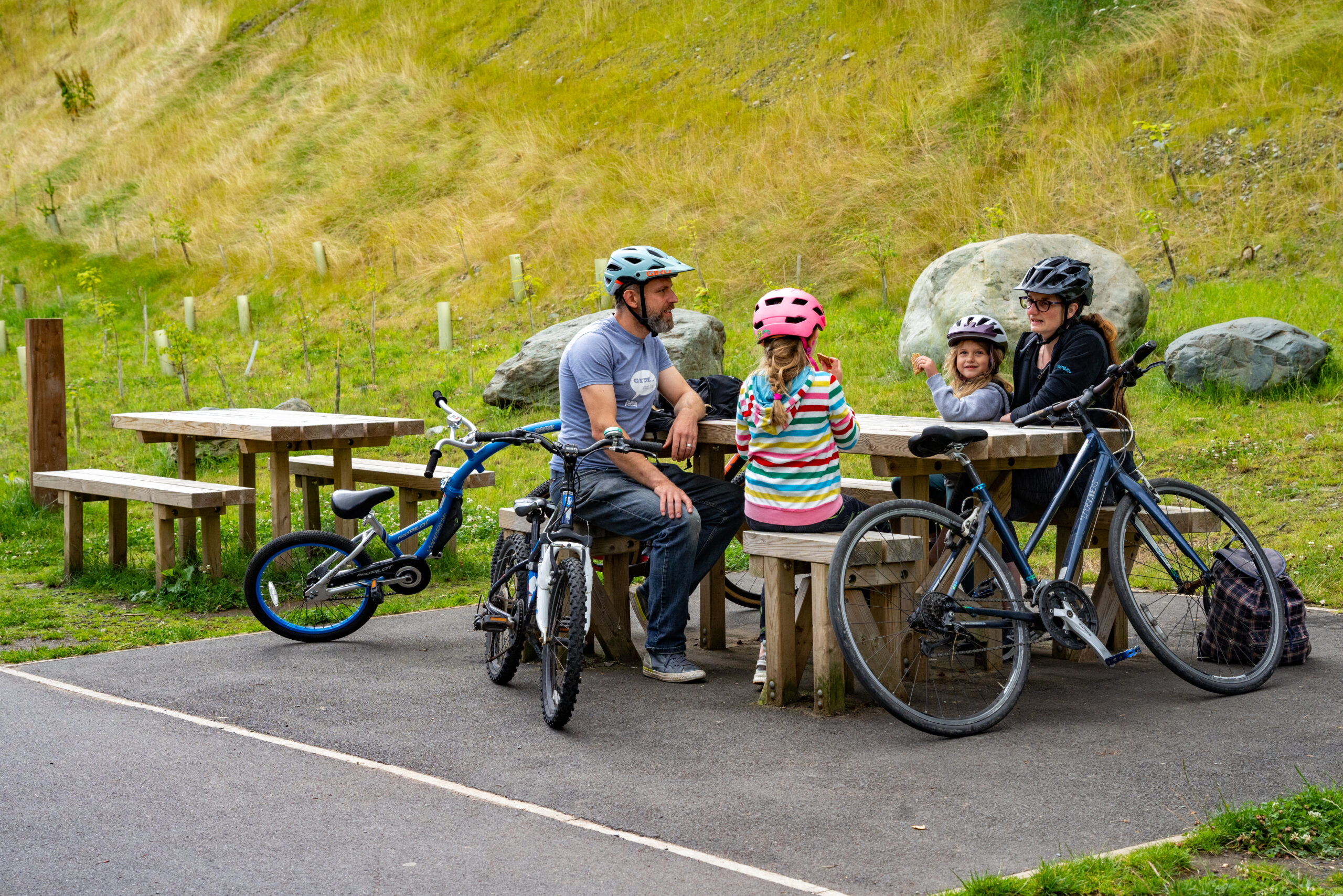
Car parking and refreshments are all available at the start. Coffee Shop and pubs in Threlkeld.
Getting there
Bus: services to Keswick from many destinations, visit traveline for details of timetables. The nearest bus stop is at County Corner on Penrith Road. Buses run regularly between Keswick and Threlkeld, service X4/5 Stagecoach, meaning you can make this a one-way linear walk. Car: follow the signs for the Leisure Pool where public parking is available, including disabled bays.